Cobbolds Point

Coastal Marsh, Saltings in Suffolk East Suffolk

England

Cobbolds Point

World War One Memorial at Old Felixstowe The memorial bears 24 names from WW1. 17 on the main memorial and a further seven added at a later date on the lower plaque.
The WW2 Memorial is on the wall in the porch. <a title="https://www.geograph.org.uk/photo/4622642" href="https://www.geograph.org.uk/photo/4622642">Link</a>
World War One Memorial at Old Felixstowe Credit: Adrian S Pye

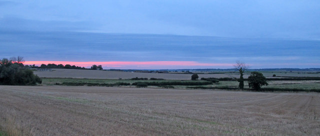
Cobbolds Point is a picturesque coastal marsh located in Suffolk, England. Situated along the eastern coast of the country, it is known for its stunning views and unique ecosystem. The area consists of vast stretches of salt marshes and saltings, which are influenced by the tides of the North Sea.

The marshland is characterized by its flat and low-lying terrain, with the vegetation consisting mainly of salt-tolerant grasses and shrubs. These plants play a crucial role in stabilizing the soil and preventing erosion. The salt marshes also provide a vital habitat for numerous species of birds, including wading birds such as redshanks and curlews, as well as rare and endangered species like the bittern.

Cobbolds Point is popular among nature enthusiasts and birdwatchers, who flock to the area to observe the diverse birdlife and enjoy the tranquility of the marshes. The expansive views of the open sea and the ever-changing landscape make it an ideal spot for photography and outdoor activities.

Visitors can explore the area on foot by following the network of footpaths and trails that wind through the marshes. These paths offer a chance to experience the unique ecosystem up close and provide opportunities to spot various plant and animal species. Additionally, there are observation points and bird hides strategically placed along the trails, allowing visitors to observe the birdlife without disturbing their habitat.

Cobbolds Point is not only a haven for wildlife but also a place of natural beauty and tranquility. Its unique coastal marsh ecosystem and stunning vistas make it a must-visit destination for nature lovers and those seeking a peaceful retreat by the sea.

If you have any feedback on the listing, please let us know in the comments section below.

Cobbolds Point Images

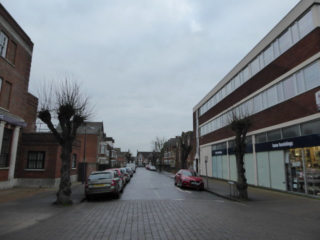
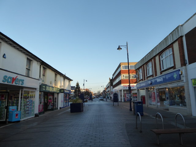
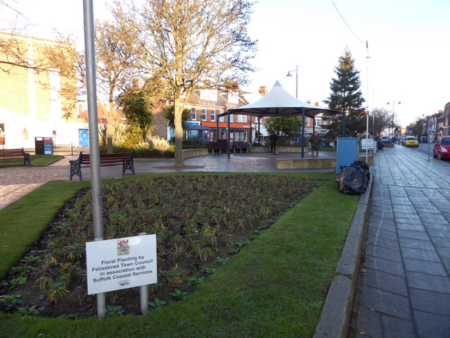
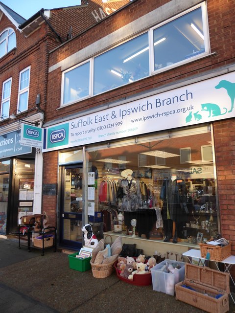
Images are sourced within 2km of 51.963949/1.3690288 or Grid Reference TM3134. Thanks to Geograph Open Source API. All images are credited.

World War One Memorial at Old Felixstowe The memorial bears 24 names from WW1. 17 on the main memorial and a further seven added at a later date on the lower plaque.
The WW2 Memorial is on the wall in the porch. <a title="https://www.geograph.org.uk/photo/4622642" href="https://www.geograph.org.uk/photo/4622642">Link</a>
World War One Memorial at Old Felixstowe
The memorial bears 24 names from WW1. 17 on the main memorial and a further seven added at a later date on the lower plaque. The WW2 Memorial is on the wall in the porch. Link
Old Felixstowe WW2 Memorial The memorial with its 28 names is in the church porch.
the WW1 memorial is in the church. <a title="https://www.geograph.org.uk/photo/4622620" href="https://www.geograph.org.uk/photo/4622620">Link</a>
Old Felixstowe WW2 Memorial
The memorial with its 28 names is in the church porch. the WW1 memorial is in the church. Link
Sundown over farmland, Old Felixstowe
Felixstowe - Promenade by Undercliff Rd E
Car park The Orwell Hotel
Looking from Crescent Road towards Tesco Metro Tesco was founded in East London in 1919 by Jack Cohen. The Tesco name first appeared in 1924. 
In 1995 it became the UK's largest supermarket chain, and is now one of the top three in the world.
Looking from Crescent Road towards Tesco Metro
Tesco was founded in East London in 1919 by Jack Cohen. The Tesco name first appeared in 1924. In 1995 it became the UK's largest supermarket chain, and is now one of the top three in the world.
Looking from Hamilton Road into St Andrew's Road
Junction of Hamilton and Gainsborough Roads
Looking from Hamilton Road into Gainsborough  Road
Looking from Hamilton Road into Gainsborough Road
Looking from Hamilton Road into York  Road
Looking from Hamilton Road into York Road
Looking northwards in Hamilton Road
Flowerbeds between Hamilton and Crescent Roads
Business premises in Hamilton Road (a)
Business premises in Hamilton Road (b)
Business premises in Hamilton Road (c)
Business premises in Hamilton Road (d)
Road sign in Hamilton Road When it comes to road signs, simple is best. They are something we take for granted. Indeed, they date back to the Roman Empire. The Via Appia, begun in 312 BC had milestones placed at regular intervals. One of the earliest organized signing systems was developed by the Italian Touring Club in the  1890’s. In 1909, nine European governments chose four pictorial symbol signs to be used as a standard in those countries. In the UK, graphic designers Jock Kinneir and Margaret Calvert created new signs based on a system whereby circular signs commanded triangular signs warned and rectangles informed. Today signs are retro-reflective: they are composed of special plastics that contain millions of small prismatic beads.
Road sign in Hamilton Road
When it comes to road signs, simple is best. They are something we take for granted. Indeed, they date back to the Roman Empire. The Via Appia, begun in 312 BC had milestones placed at regular intervals. One of the earliest organized signing systems was developed by the Italian Touring Club in the 1890’s. In 1909, nine European governments chose four pictorial symbol signs to be used as a standard in those countries. In the UK, graphic designers Jock Kinneir and Margaret Calvert created new signs based on a system whereby circular signs commanded triangular signs warned and rectangles informed. Today signs are retro-reflective: they are composed of special plastics that contain millions of small prismatic beads.
Seafront at the undercliff, Felixstowe Looking south-west, with construction work on Felixstowe Pier visible in the background.
Seafront at the undercliff, Felixstowe
Looking south-west, with construction work on Felixstowe Pier visible in the background.
Show me another place!

Cobbolds Point is located at Grid Ref: TM3134 (Lat: 51.963949, Lng: 1.3690288)

Administrative County: Suffolk

District: East Suffolk

Police Authority: Suffolk

What 3 Words

///fakes.quite.ridge. Near Felixstowe, Suffolk

Nearby Locations

Cobbolds Point

Related Wikis

Felixstowe College

Felixstowe College was a girls' independent school, located in Felixstowe, Suffolk. It was established in 1929 and closed in 1994. In 1995, a different...

Felixstowe International College

Felixstowe International College is an independent school founded in 1995 in Felixstowe, Suffolk, England. == See also == List of schools in Suffolk...

Brackenbury Battery

Brackenbury Battery was a small coastal artillery fort located just north of Felixstowe, England,and initially known as Felixstowe Battery. It opened in...

Ipswich Town F.C. Women

Ipswich Town Football Club Women is a women's team affiliated with Ipswich Town Football Club. They currently compete in the FA Women's Premier League...

Nearby Amenities

Located within 500m of 51.963949,1.3690288
Source: PGS
Lat/Long: 51.9636598/1.3670161
Source: PGS
Lat/Long: 51.9636231/1.3680602
Source: PGS
Lat/Long: 51.9642331/1.3696464
Source: PGS
Lat/Long: 51.9668581/1.3725692
Note: Parkrun turn-around point
Lat/Long: 51.9627838/1.3625957
Bus Stop
Fludyer Arms
Bench: no
Lit: yes
Naptan AtcoCode: 390060776
Naptan Bearing: SW
Naptan CommonName: Fludyer Arms
Naptan Indicator: opp
Naptan Landmark: Fludyer Arms
Naptan NaptanCode: sufgtmpa
Naptan Street: Undercliff Road East
Naptan Verified: no
Shelter: no
Source: naptan_import
Tactile Paving: no
Lat/Long: 51.9635178/1.3655069
Bus Stop
Fludyer Arms
Bench: no
Lit: yes
Naptan AtcoCode: 390060777
Naptan Bearing: NE
Naptan CommonName: Fludyer Arms
Naptan Indicator: adj
Naptan Landmark: Fludyer Arms
Naptan NaptanCode: sufgtmpd
Naptan Street: Undercliff Road East
Naptan Verified: no
Shelter: no
Source: naptan_import
Tactile Paving: no
Lat/Long: 51.9634926/1.3654468
Maybush Lane
Naptan AtcoCode: 390060778
Naptan Bearing: N
Naptan BusStopType: CUS
Naptan CommonName: Maybush Lane
Naptan Indicator: o/s 36
Naptan Landmark: Maybush Lane
Naptan NaptanCode: sufgtmpg
Naptan Street: Maybush Lane
Naptan Verified: no
Source: naptan_import
Lat/Long: 51.9648949/1.368304
Maybush Lane
Naptan AtcoCode: 390060779
Naptan Bearing: S
Naptan BusStopType: CUS
Naptan CommonName: Maybush Lane
Naptan Indicator: opp 36
Naptan Landmark: Maybush Lane
Naptan NaptanCode: sufgtmpj
Naptan Street: Maybush Lane
Naptan Verified: no
Source: naptan_import
Lat/Long: 51.9648365/1.3684598
Thornley Road
Naptan AtcoCode: 390060788
Naptan Bearing: W
Naptan BusStopType: CUS
Naptan CommonName: Thornley Road
Naptan Indicator: adj
Naptan Landmark: Thornley Road
Naptan NaptanCode: sufgtmtp
Naptan Street: Foxgrove Lane
Naptan Verified: no
Source: naptan_import
Lat/Long: 51.9659612/1.3655741
Thornley Road
Naptan AtcoCode: 390060789
Naptan Bearing: E
Naptan BusStopType: CUS
Naptan CommonName: Thornley Road
Naptan Indicator: opp
Naptan Landmark: Thornley Road
Naptan NaptanCode: sufgtmtw
Naptan Street: Foxgrove Lane
Naptan Verified: no
Source: naptan_import
Lat/Long: 51.9660577/1.3655229
Drinking Water
Access: yes
Fee: no
Lat/Long: 51.9630633/1.3634209
Cobbold's Point
Place: locality
Lat/Long: 51.9636648/1.368238
Waste Basket
Waste: dog_excrement
Lat/Long: 51.9637889/1.3661327
Barrier: bollard
Lat/Long: 51.9637787/1.3674805
Post Box
Mapillary: 2171659153009923
Operator: Royal Mail
Operator Wikidata: Q638098
Post Box Design: type_a
Post Box Type: pillar
Ref: IP11 1016
Royal Cypher: GVIR
Royal Cypher Wikidata: Q33102169
Survey Date: 2020-10-11
Lat/Long: 51.9636481/1.365684
Mini Roundabout
Lat/Long: 51.9669605/1.3712807
Post Box
Operator: Royal Mail
Operator Wikidata: Q638098
Post Box Design: type_b
Post Box Type: pillar
Ref: IP11 1313
Royal Cypher: GVIR
Royal Cypher Wikidata: Q33102169
Lat/Long: 51.9659074/1.3641802
Post Box
Operator: Royal Mail
Operator Wikidata: Q638098
Post Box Mounting: brick_pillar
Post Box Type: wall
Ref: IP11 1156
Lat/Long: 51.9651049/1.3627156
Addr Housenumber: 42
Addr Street: Maybush Lane
Lat/Long: 51.9648275/1.3680406
Addr Housenumber: 36
Addr Street: Maybush Lane
Lat/Long: 51.9649919/1.3682967
The data included in this document is from www.openstreetmap.org. The data is made available under ODbL.

Have you been to Cobbolds Point?

Leave your review of Cobbolds Point below (or comments, questions and feedback).