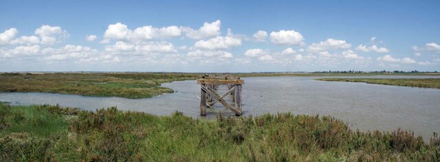
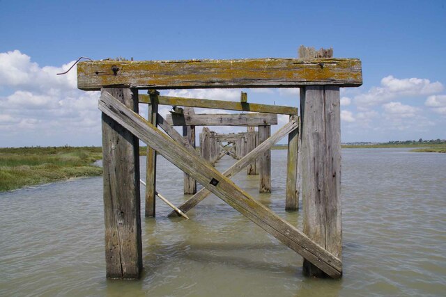
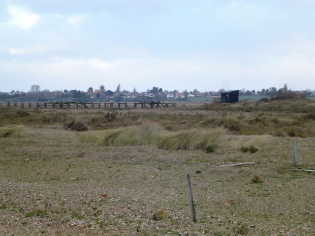
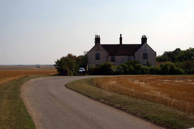
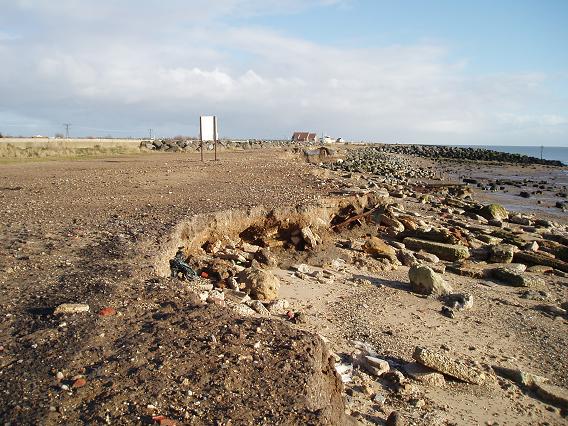
St Osyth Marsh

Coastal Marsh, Saltings in Essex Tendring

England

St Osyth Marsh

Colne Point Jetty The derelict jetty in Ray Creek was once served by a narrow gauge industrial railway.
Colne Point Jetty Credit: Glyn Baker

The requested URL returned error: 429 Too Many Requests

If you have any feedback on the listing, please let us know in the comments section below.

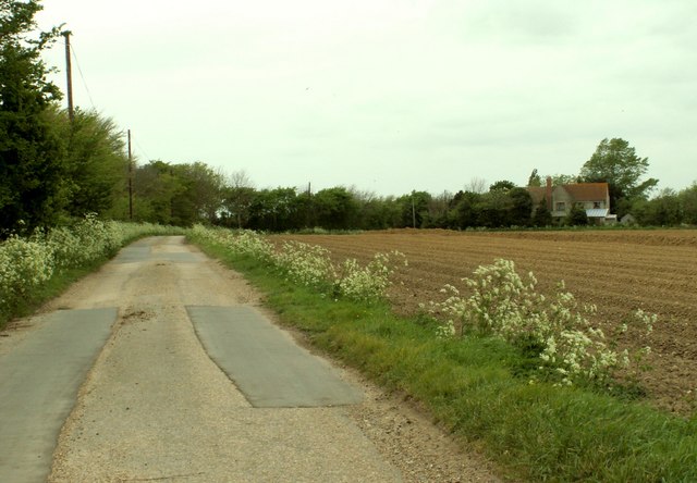
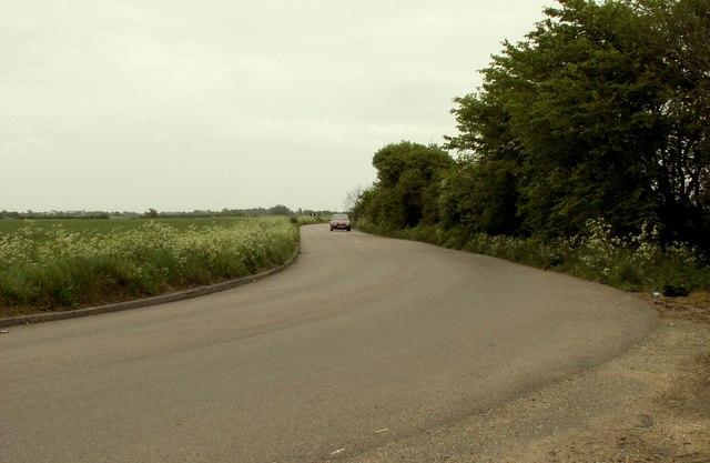
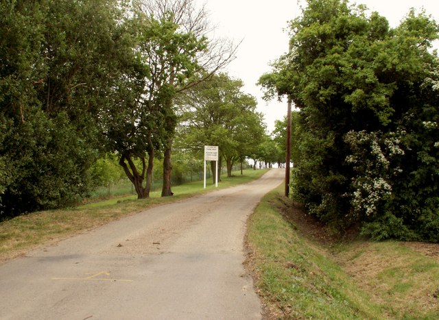
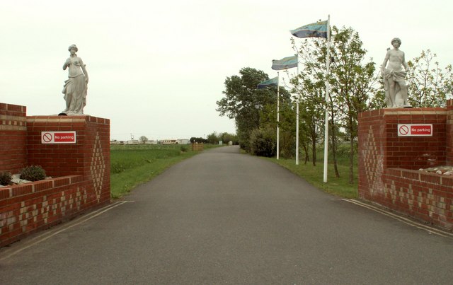
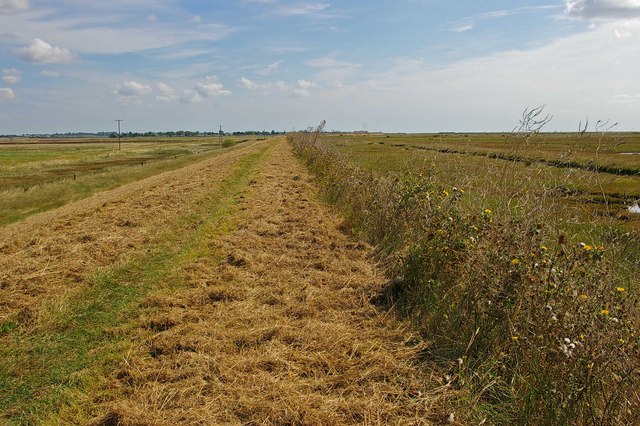
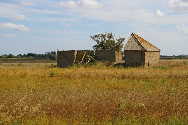
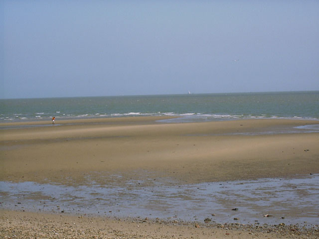
St Osyth Marsh Images

Images are sourced within 2km of 51.778241/1.0668787 or Grid Reference TM1113. Thanks to Geograph Open Source API. All images are credited.

Colne Point Jetty The derelict jetty in Ray Creek was once served by a narrow gauge industrial railway.
Colne Point Jetty
The derelict jetty in Ray Creek was once served by a narrow gauge industrial railway.
A Jaded Jetty in Ray Creek A close up of <a href="https://www.geograph.org.uk/photo/7504472">TM0912 : Colne Point Jetty</a>.
A Jaded Jetty in Ray Creek
Colne Point Nature Reserve This is part of Colne Point Nature Reserve. The Jetty (disused) on Ray Creek and the Jetty Hide can be seen.
Colne Point Nature Reserve
This is part of Colne Point Nature Reserve. The Jetty (disused) on Ray Creek and the Jetty Hide can be seen.
Lee-over-Sands If it is peace and quiet you are after these chalets are about as isolated as you can get within a sixty mile radius of central London. It must be a constant battle with the elements to keep them maintained.
Lee-over-Sands
If it is peace and quiet you are after these chalets are about as isolated as you can get within a sixty mile radius of central London. It must be a constant battle with the elements to keep them maintained.
Sewage Farm This is the sewage farm at Lee-over-Sands
Sewage Farm
This is the sewage farm at Lee-over-Sands
Lee Wick Farm Road This substantial House is located on a bend in Lee Wick Farm Rd near Point Clear
Lee Wick Farm Road
This substantial House is located on a bend in Lee Wick Farm Rd near Point Clear
Remains of track outside the sea-wall A (tidal) track used to lead out from the sea-wall to the edge of the sea. Now too badly eroded.
Remains of track outside the sea-wall
A (tidal) track used to lead out from the sea-wall to the edge of the sea. Now too badly eroded.
Wigboro Wick Lane
Wigboro Wick Lane
Beach Road
Beach Road
Cockett Wick Lane This is a farm road that leads to Cockett Wick Farm.
Cockett Wick Lane
This is a farm road that leads to Cockett Wick Farm.
Entrance to a caravan park
Part of Seawick Holiday Village
Footpath to Seawick This is the footpath along the sea wall from Lee-Over-Sands to Seawick. St Osyth Marsh is to the left and the saltmarshes are to the right.
Footpath to Seawick
This is the footpath along the sea wall from Lee-Over-Sands to Seawick. St Osyth Marsh is to the left and the saltmarshes are to the right.
St Osyth Marsh Footbridge over a dike in St Osyth Marsh
St Osyth Marsh
Footbridge over a dike in St Osyth Marsh
St Osyth Saltmarsh This picture was taken from the seawall footpath from Lee-over-Sands to Seawick
St Osyth Saltmarsh
This picture was taken from the seawall footpath from Lee-over-Sands to Seawick
Ruin in the Marsh This ruined concrete farm building is in St Osyth Marsh
Ruin in the Marsh
This ruined concrete farm building is in St Osyth Marsh
Sandbank at Colne Point
Natural High Tide This is the Essex Wildlife Trust hut on its Nature Reserve at Colne Point.
As you can see it is prone to flooding. The road is well covered and the bridge has almost disappeared.
Across the water is the old Nuclear Power Station at Bradwell.
Natural High Tide
This is the Essex Wildlife Trust hut on its Nature Reserve at Colne Point. As you can see it is prone to flooding. The road is well covered and the bridge has almost disappeared. Across the water is the old Nuclear Power Station at Bradwell.
Show me another place!

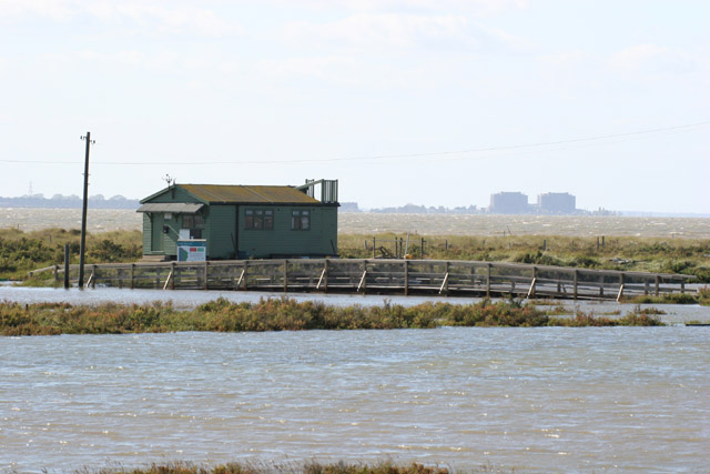
St Osyth Marsh is located at Grid Ref: TM1113 (Lat: 51.778241, Lng: 1.0668787)

Administrative County: Essex

District: Tendring

Police Authority: Essex

What 3 Words

///dated.calls.titles. Near St Osyth, Essex

Nearby Locations

St Osyth Marsh

Related Wikis

Colne Point

Colne Point is a 276.4-hectare (683-acre) nature reserve south-west of St Osyth in Essex. It is managed by the Essex Wildlife Trust. It is part of the...

Lee-over-Sands

Lee-over-Sands is a small coastal hamlet in the civil parish of St Osyth, in the Tendring district of Essex, England. It is located close to the mouth...

Jaywick Martello Tower

Jaywick Martello Tower is a renovated Martello tower at Jaywick, 2.7 miles (4.3 km) south-west of Clacton-on-Sea, Essex. It now functions as an arts, heritage...
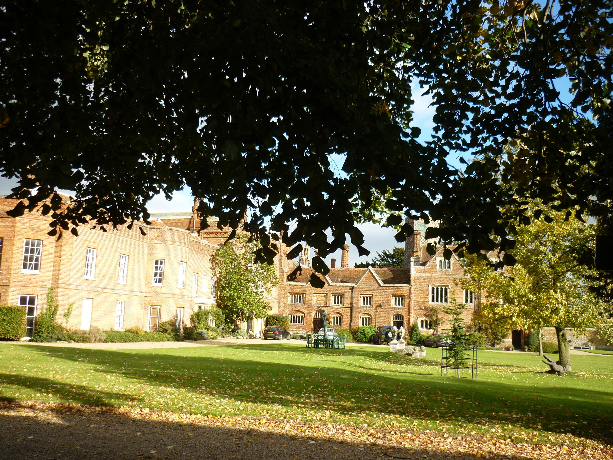
St Osyth's Priory

St Osyth's Abbey (originally and still commonly known as St Osyth's Priory) was a house of Augustinian canons in the parish of St Osyth (then named Chich...

Have you been to St Osyth Marsh?

Leave your review of St Osyth Marsh below (or comments, questions and feedback).