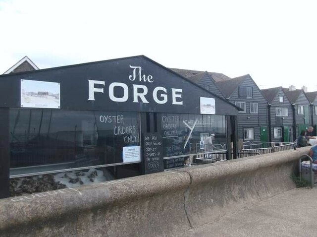
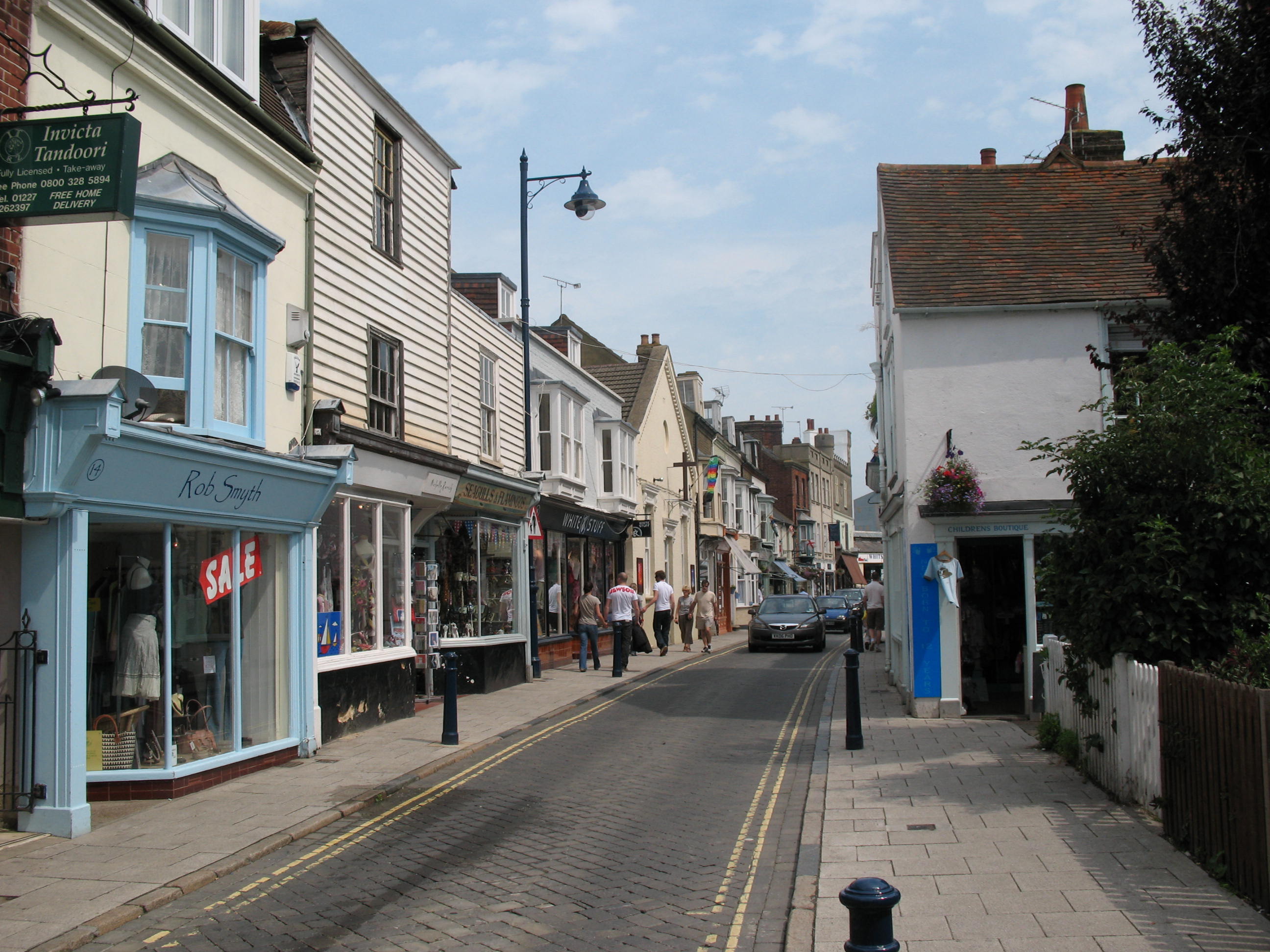
Whitstable Street
Coastal Marsh, Saltings in Kent Canterbury
England
Whitstable Street
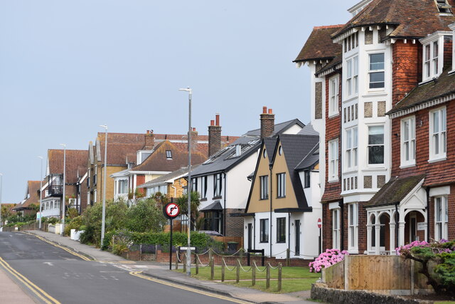
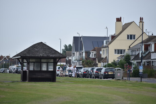
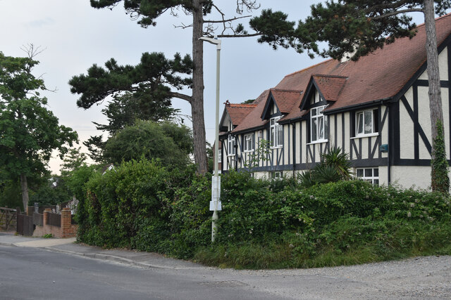
Whitstable Street is a charming coastal road located in the town of Whitstable, Kent, England. Situated along the Coastal Marsh and Saltings, this street offers visitors and residents a unique and picturesque experience.
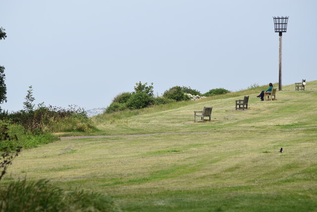
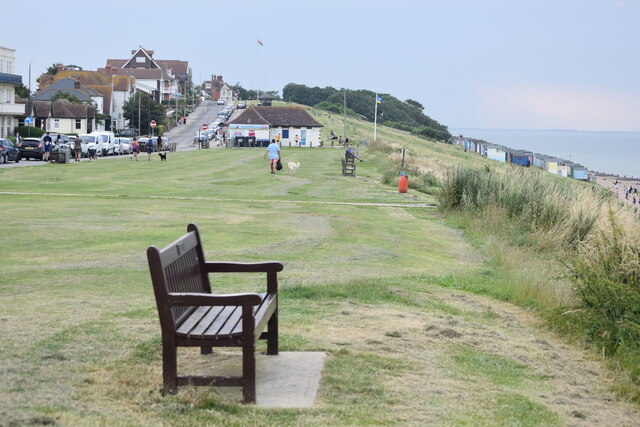
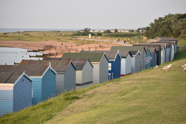
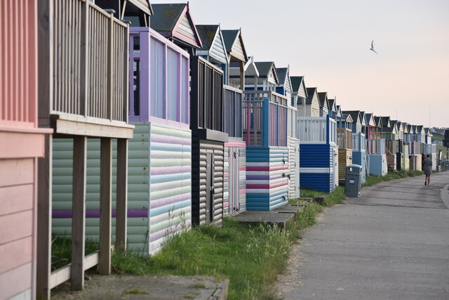
The street is characterized by its scenic views of the marshland and saltings, which are vast areas of wetland and salt marshes. These natural landscapes are not only visually stunning but also serve as habitats for various bird species, making it a popular destination for birdwatching enthusiasts.
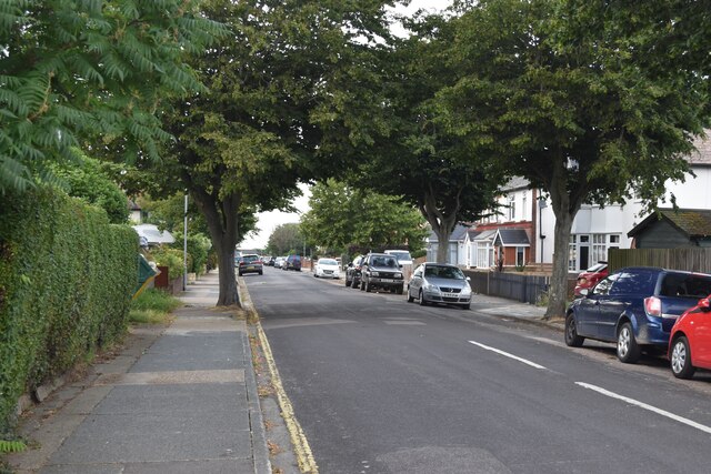
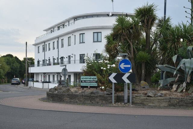
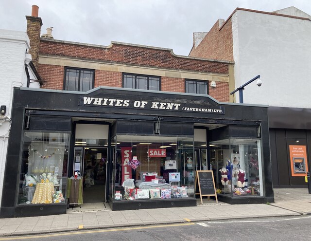
Whitstable Street itself is lined with a mix of traditional and modern buildings, showcasing the town's rich history and contemporary developments. The street boasts a range of amenities, including quaint independent shops, cafes, pubs, and restaurants, offering a delightful experience for locals and tourists alike.
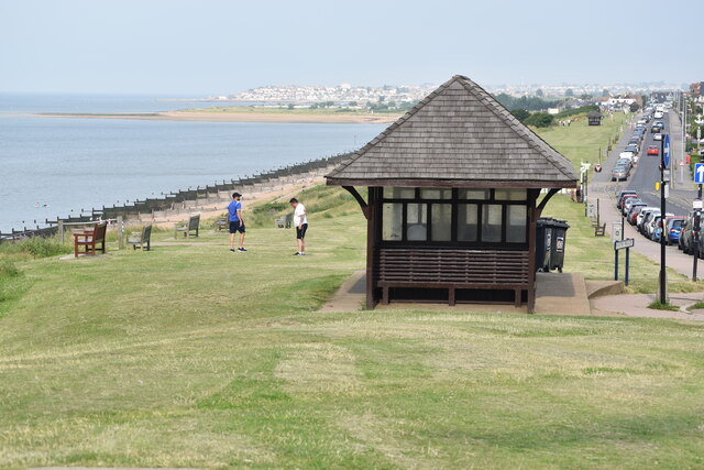
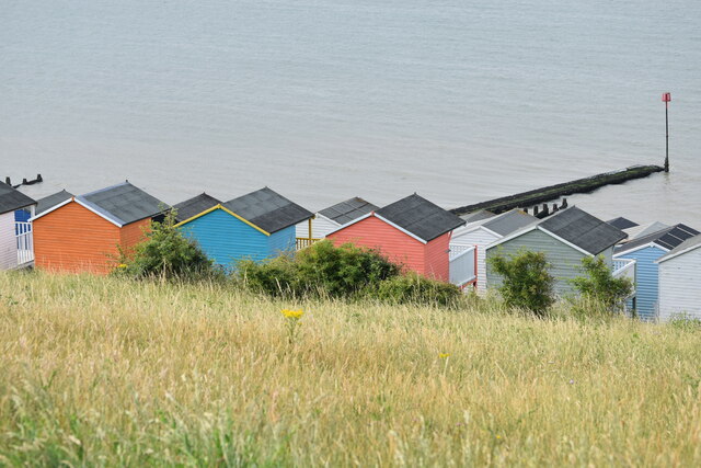
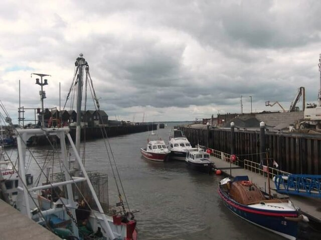
One of the highlights of Whitstable Street is its proximity to the coast. Just a short walk away, visitors can enjoy the beautiful pebble beach and take in the fresh sea air. The beach is known for its stunning sunsets and is a popular spot for water sports, such as sailing, windsurfing, and kiteboarding.
Throughout the year, Whitstable Street hosts a variety of events and festivals, attracting people from all over. The most famous event is the Whitstable Oyster Festival, celebrating the town's proud oyster heritage. During this festival, the street comes alive with live music, food stalls, and a vibrant atmosphere.
Overall, Whitstable Street in Kent offers a perfect blend of natural beauty, historical charm, and coastal living, making it a must-visit destination for anyone looking to experience the best of England's coastal towns.
If you have any feedback on the listing, please let us know in the comments section below.
Whitstable Street Images
Images are sourced within 2km of 51.369249/1.0352876 or Grid Reference TR1167. Thanks to Geograph Open Source API. All images are credited.

Whitstable Street is located at Grid Ref: TR1167 (Lat: 51.369249, Lng: 1.0352876)
Administrative County: Kent
District: Canterbury
Police Authority: Kent
What 3 Words
///dentures.hears.districts. Near Tankerton, Kent
Nearby Locations
Related Wikis

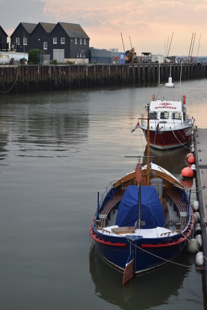
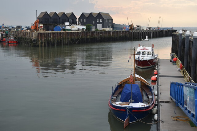
Whitstable Harbour railway station
Whitstable Harbour railway station was the name of two disused railway stations serving Whitstable the terminus of the Canterbury and Whitstable Railway...

Tankerton
Tankerton (formerly Tankerton-on-Sea) is a suburb of Whitstable in Kent in south-east England. It was designed in the late 19th century as the train network...

Whitstable Lifeboat Station
Whitstable Lifeboat Station is a Royal National Lifeboat Institution (RNLI) station located in Whitstable in the English county of Kent.The station was...

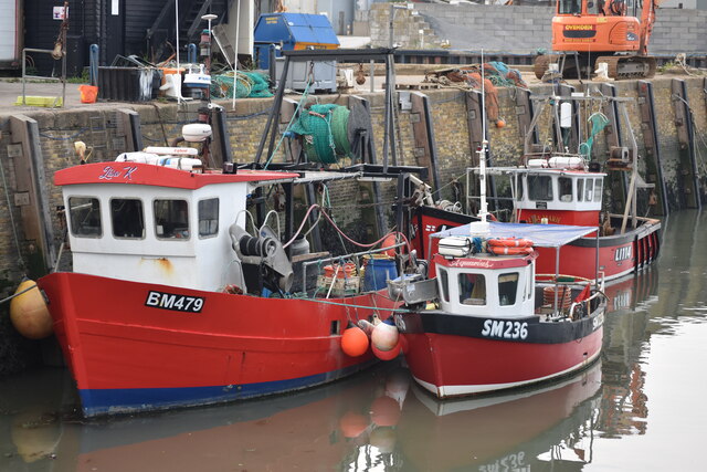
Whitstable
Whitstable () is a town in the Canterbury district, on the north coast of Kent adjoining the convergence of the Swale Estuary and the Greater Thames Estuary...
Great Fire of Whitstable, 1869
The Great Fire of Whitstable in 1869 devastated the coastal town of Whitstable in Kent, England.On the evening of Wednesday, 16 November 1869, the fire...

Tankerton Halt railway station
Tankerton Halt was a minor station on the Canterbury and Whitstable Railway at Tankerton, Kent. It opened in 1914 and closed in 1931. == History == Tankerton...

Whitstable railway station
Whitstable railway station is on the Ramsgate branch of the Chatham Main Line in England, serving the town of Whitstable, Kent. It is 59 miles 6 chains...

All Saints Church, Whitstable
All Saints Church is a Church of England church in Whitstable, Kent. It is one of five Church of England churches in the Whitstable Team Ministry. There...
Nearby Amenities
Located within 500m of 51.369249,1.0352876Have you been to Whitstable Street?
Leave your review of Whitstable Street below (or comments, questions and feedback).