The Paddock
Coastal Marsh, Saltings in Kent Canterbury
England
The Paddock
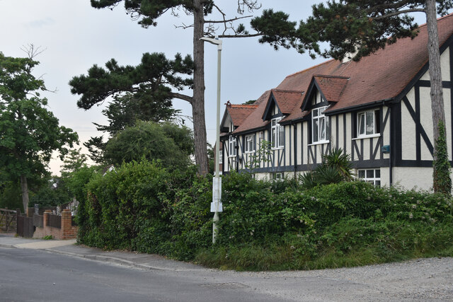
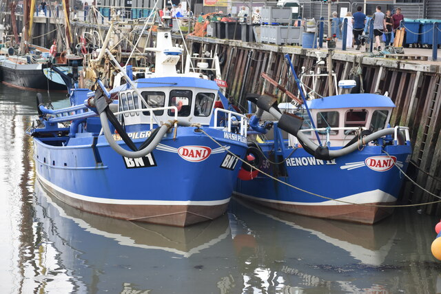
The Paddock is a coastal marsh located in Kent, England. Situated near the town of Deal, it forms part of the larger natural reserve known as the Kent Marshes. The Paddock is characterized by its vast expanse of salt marshes and saltings, making it a haven for a diverse range of plant and animal species.
The marshlands of The Paddock are flooded by the tides of the English Channel, resulting in a unique ecosystem that supports various forms of life. This includes a variety of salt-tolerant plants such as samphire, sea lavender, and thrift, which thrive in the nutrient-rich mudflats. The marshes also provide an important habitat for numerous bird species, including wading birds like curlews, redshanks, and oystercatchers. These birds can often be observed feeding on the rich invertebrate life found within the mud.
The Paddock is also significant for its contribution to flood defense in the area. The marshes act as a natural buffer, absorbing and dispersing storm surges and high tides, thereby reducing the risk of coastal flooding to nearby communities. Additionally, the marshes play a crucial role in stabilizing the coastline, preventing erosion and maintaining the integrity of the surrounding land.
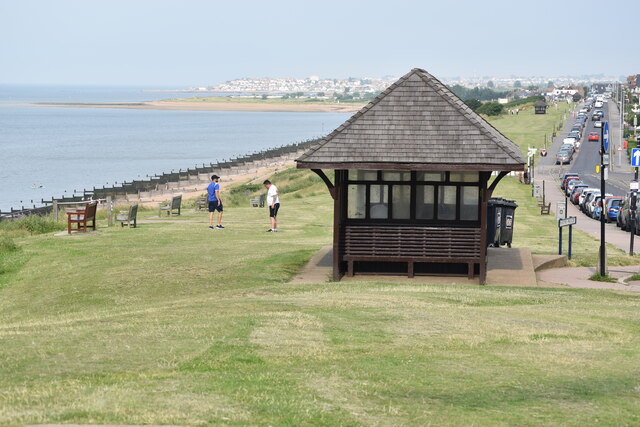
Visitors to The Paddock can enjoy the peacefulness and natural beauty of the marshland, as well as observe the diverse wildlife that calls this area home. The reserve offers designated footpaths and bird hides to facilitate wildlife viewing and photography, allowing visitors to engage with the environment in a responsible and sustainable manner.
If you have any feedback on the listing, please let us know in the comments section below.
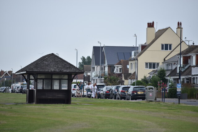
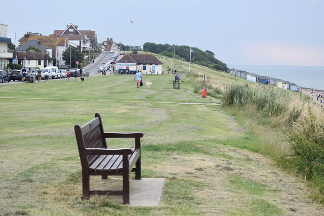
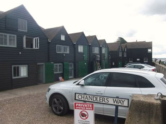
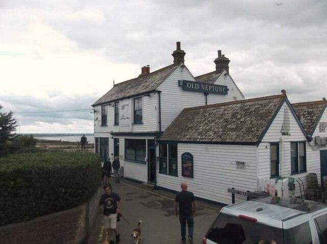
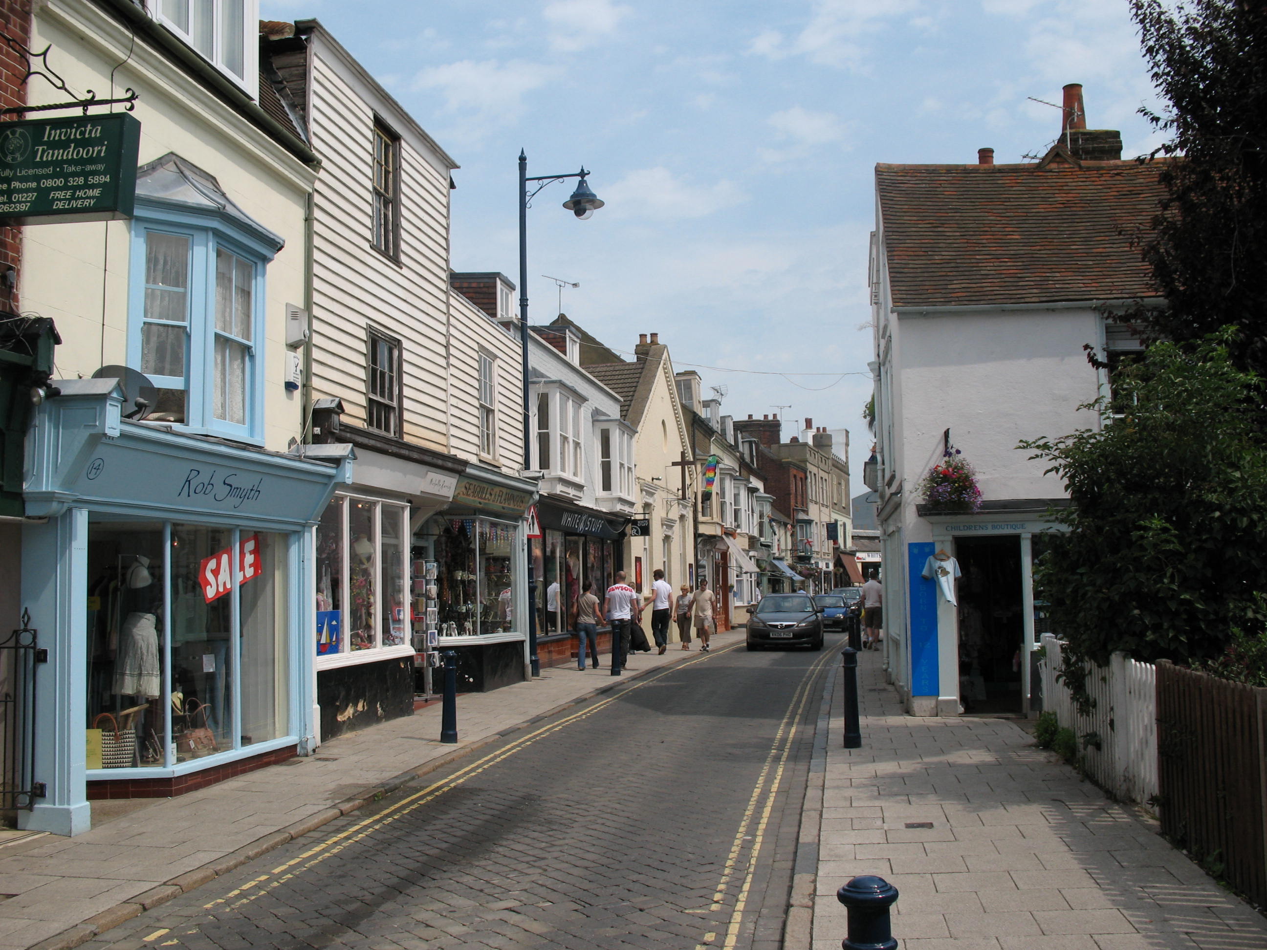
The Paddock Images
Images are sourced within 2km of 51.365983/1.0301144 or Grid Reference TR1167. Thanks to Geograph Open Source API. All images are credited.
The Paddock is located at Grid Ref: TR1167 (Lat: 51.365983, Lng: 1.0301144)
Administrative County: Kent
District: Canterbury
Police Authority: Kent
What 3 Words
///doing.homelands.napped. Near Whitstable, Kent
Nearby Locations
Related Wikis

Whitstable Harbour railway station
Whitstable Harbour railway station was the name of two disused railway stations serving Whitstable the terminus of the Canterbury and Whitstable Railway...

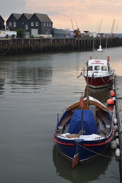
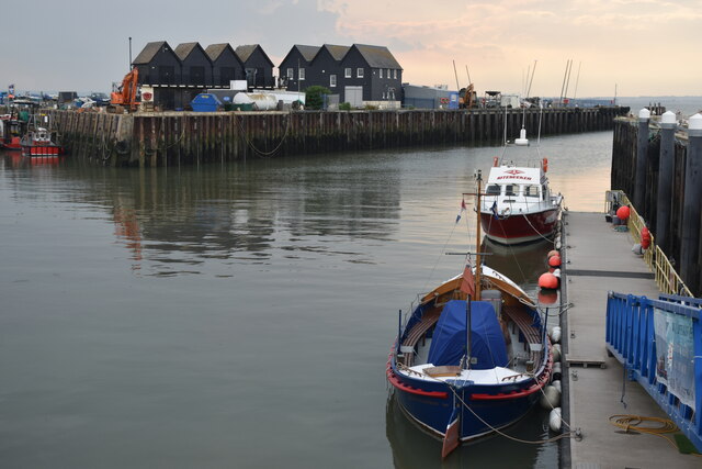
Whitstable Lifeboat Station
Whitstable Lifeboat Station is a Royal National Lifeboat Institution (RNLI) station located in Whitstable in the English county of Kent.The station was...

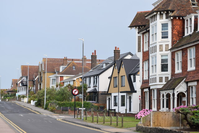
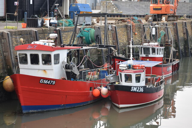
Whitstable
Whitstable () is a town in the Canterbury district, on the north coast of Kent adjoining the convergence of the Swale Estuary and the Greater Thames Estuary...
Great Fire of Whitstable, 1869
The Great Fire of Whitstable in 1869 devastated the coastal town of Whitstable in Kent, England.On the evening of Wednesday, 16 November 1869, the fire...

Whitstable railway station
Whitstable railway station is on the Ramsgate branch of the Chatham Main Line in England, serving the town of Whitstable, Kent. It is 59 miles 6 chains...

Tankerton Halt railway station
Tankerton Halt was a minor station on the Canterbury and Whitstable Railway at Tankerton, Kent. It opened in 1914 and closed in 1931. == History == Tankerton...

Tankerton
Tankerton (formerly Tankerton-on-Sea) is a suburb of Whitstable in Kent in south-east England. It was designed in the late 19th century as the train network...

Whitstable Museum and Gallery
Whitstable Museum is a heritage centre in Whitstable, Kent, with Invicta, one of the world's oldest steam engines, the history of the local oyster trade...
Nearby Amenities
Located within 500m of 51.365983,1.0301144Have you been to The Paddock?
Leave your review of The Paddock below (or comments, questions and feedback).