Mersea Flats

Coastal Marsh, Saltings in Essex Colchester

England

Mersea Flats

St. Edmund Church, East Mersea <span class="nowrap"><a title="https://en.wikipedia.org/wiki/East_Mersea" rel="nofollow ugc noopener" href="https://en.wikipedia.org/wiki/East_Mersea">Link</a><img style="margin-left:2px;" alt="External link" title="External link - shift click to open in new window" src="https://s1.geograph.org.uk/img/external.png" width="10" height="10"/></span>
St. Edmund Church, East Mersea Credit: PAUL FARMER

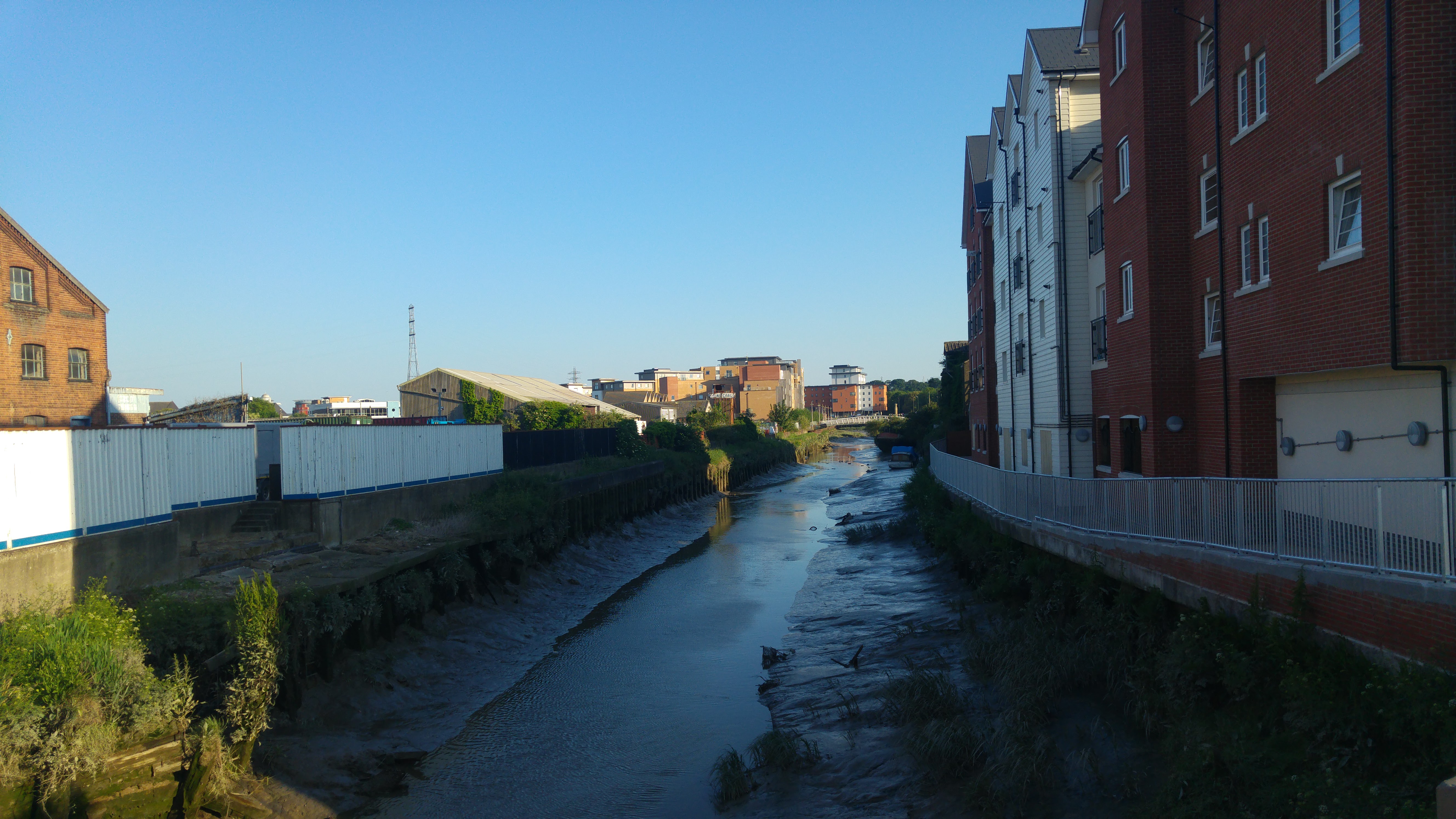
Mersea Flats, located in Essex, England, is a stunning coastal marsh and saltings area that spans across a vast expanse of approximately 7,000 acres. Positioned on the eastern side of Mersea Island, this area is renowned for its exceptional natural beauty and ecological significance.

The landscape of Mersea Flats is characterized by a mesmerizing combination of mudflats, saltmarshes, and tidal creeks. These diverse habitats provide a haven for a plethora of plant and animal species, making it a paradise for nature enthusiasts and wildlife enthusiasts alike. The marshes are particularly known for attracting a wide range of bird species, including wading birds, such as redshanks, lapwings, and avocets, as well as migratory birds like brent geese and curlews.

The tidal movements in the area are vital for the sustenance of the ecosystem, as the ebb and flow of the tides contribute to the formation of the saltmarshes. These marshes provide a natural defense against coastal erosion and act as a buffer zone, protecting the nearby settlements from the force of the sea.

Mersea Flats is also an important site for commercial activities, such as fishing and oyster farming. The nutrient-rich waters support a thriving oyster population, and the area is renowned for its succulent and flavorsome native oysters, which are highly sought after by seafood connoisseurs.

With its breathtaking vistas, abundant wildlife, and ecological significance, Mersea Flats is a true gem of the Essex coastline, attracting both locals and tourists who seek to immerse themselves in the beauty of nature and witness the wonders of this unique and vibrant ecosystem.

If you have any feedback on the listing, please let us know in the comments section below.

Mersea Flats Images

Images are sourced within 2km of 51.783945/0.99040965 or Grid Reference TM0613. Thanks to Geograph Open Source API. All images are credited.

St. Edmund Church, East Mersea <span class="nowrap"><a title="https://en.wikipedia.org/wiki/East_Mersea" rel="nofollow ugc noopener" href="https://en.wikipedia.org/wiki/East_Mersea">Link</a><img style="margin-left:2px;" alt="External link" title="External link - shift click to open in new window" src="https://s1.geograph.org.uk/img/external.png" width="10" height="10"/></span>
St. Edmund Church, East Mersea
East Mersea Rain Cloud Rain was coming up in pulses from the south west and this black cloud, heavy with rain, crossed the estuary to land on Brightlingsea. The photo I think shows a nice contrast between the sandy beach and the dark cloud divided by the line of gorse.
East Mersea Rain Cloud
Rain was coming up in pulses from the south west and this black cloud, heavy with rain, crossed the estuary to land on Brightlingsea. The photo I think shows a nice contrast between the sandy beach and the dark cloud divided by the line of gorse.
Sand Martin Holes It has been a few years since I have seen any <a href="https://www.geograph.org.uk/photo/2380169">TM0614 : Sand Martins</a> nesting in the cliffs at Cudmore Grove country park but 2001 seems to be a good year for them.
Sand Martin Holes
It has been a few years since I have seen any TM0614 : Sand Martins nesting in the cliffs at Cudmore Grove country park but 2001 seems to be a good year for them.
Sand Martins There was quite a flock around these <a href="https://www.geograph.org.uk/photo/2380162">TM0614 : Sand Martin Holes</a>
Sand Martins
There was quite a flock around these TM0614 : Sand Martin Holes
Something to Crow About? Someone sorts out a new flag each year at East Mersea see <a href="https://www.geograph.org.uk/photo/272130">TM0614 : Colne View</a> and <a href="https://www.geograph.org.uk/photo/219298">TM0614 : Moonscape and Mersea Mud</a>
Something to Crow About?
Someone sorts out a new flag each year at East Mersea see TM0614 : Colne View and TM0614 : Moonscape and Mersea Mud
East Mersea Mudflats Looking across the Colne Estuary towards Colne Point. A few feet from here I found  a WW2 relic in the shape of a spent shell case of a 1/2 inch calibre machine gun round. Most probably it was left over from a gun test of a U.S bomber heading for a raid over Europe. However it didn't look like it had been washed by 48,000 tides. Doubtless it had been buried and had recently surfaced again. I got very muddy boots getting to this point!
East Mersea Mudflats
Looking across the Colne Estuary towards Colne Point. A few feet from here I found a WW2 relic in the shape of a spent shell case of a 1/2 inch calibre machine gun round. Most probably it was left over from a gun test of a U.S bomber heading for a raid over Europe. However it didn't look like it had been washed by 48,000 tides. Doubtless it had been buried and had recently surfaced again. I got very muddy boots getting to this point!
Towards Bradwell With the tide on the turn on East Mersea Flats you can see <a href="https://www.geograph.org.uk/photo/242333">TM0008 : Bradwell Power Station</a> on the horizon
Towards Bradwell
With the tide on the turn on East Mersea Flats you can see TM0008 : Bradwell Power Station on the horizon
Mudflats at East Mersea The last of the mud about to be submerged under the returning tide.
Mudflats at East Mersea
The last of the mud about to be submerged under the returning tide.
Mudflats East Mersea A typical scene of Mersea-on-Mud. Before it was subsumed into Colchester's administration Mersea's political body was Mersea Urban District council {M.U.D}!
Mudflats East Mersea
A typical scene of Mersea-on-Mud. Before it was subsumed into Colchester's administration Mersea's political body was Mersea Urban District council {M.U.D}!
Towards Sandy Point Mud glorious mud on East Mersea Flats.
Towards Sandy Point
Mud glorious mud on East Mersea Flats.
Low Tide on East Mersea Flats It was a VERY muddy business getting to this point. However I have been playing on Mersea mud for a little shy of fifty years and know how to avoid ending up to my knees in the gloop! However my boots are still drying out.
Low Tide on East Mersea Flats
It was a VERY muddy business getting to this point. However I have been playing on Mersea mud for a little shy of fifty years and know how to avoid ending up to my knees in the gloop! However my boots are still drying out.
Mersea Island Mersea Island and Brightlingsea Reach at sunset as seen from Point Clear.
Mersea Island
Mersea Island and Brightlingsea Reach at sunset as seen from Point Clear.
Gravel strata in cliffs Cliffs at Cudmore Grove Country Park, East Mersea.

According to the Essex RIGS Group <span class="nowrap"><a title="http://www.essexwt.org.uk/geology/sites.htm" rel="nofollow ugc noopener" href="http://www.essexwt.org.uk/geology/sites.htm">Link</a><img style="margin-left:2px;" alt="External link" title="External link - shift click to open in new window" src="https://s1.geograph.org.uk/img/external.png" width="10" height="10"/></span> :The cliffs at Cudmore Grove provide superb exposures of Thames/Medway gravels laid down during the Hoxnian interglacial stage when monkeys, bears and early man lived in Essex.
Gravel strata in cliffs
Cliffs at Cudmore Grove Country Park, East Mersea. According to the Essex RIGS Group LinkExternal link :The cliffs at Cudmore Grove provide superb exposures of Thames/Medway gravels laid down during the Hoxnian interglacial stage when monkeys, bears and early man lived in Essex.
Kites above the pillbox Cudmore Grove is found at the eastern end of
Mersea Island next to the Colne estuary.

Essex County Council purchased Cudmore Grove, 
in 1974 to preserve a piece of Essex for people to
enjoy. The Country Parks Rangers now manage
the land for countryside recreation, wildlife and
historical interest.

For more information see <span class="nowrap"><a title="http://www.visitparks.co.uk/placestovisit/cudmorecountrypark.php" rel="nofollow ugc noopener" href="http://www.visitparks.co.uk/placestovisit/cudmorecountrypark.php">Link</a><img style="margin-left:2px;" alt="External link" title="External link - shift click to open in new window" src="https://s1.geograph.org.uk/img/external.png" width="10" height="10"/></span>
Kites above the pillbox
Cudmore Grove is found at the eastern end of Mersea Island next to the Colne estuary. Essex County Council purchased Cudmore Grove, in 1974 to preserve a piece of Essex for people to enjoy. The Country Parks Rangers now manage the land for countryside recreation, wildlife and historical interest. For more information see LinkExternal link
Path behind the sea wall Cudmore Grove is found at the eastern end of
Mersea Island next to the Colne estuary.

Essex County Council purchased Cudmore Grove, 
in 1974 to preserve a piece of Essex for people to
enjoy. The Country Parks Rangers now manage
the land for countryside recreation, wildlife and
historical interest.

For more information see <span class="nowrap"><a title="http://www.visitparks.co.uk/placestovisit/cudmorecountrypark.php" rel="nofollow ugc noopener" href="http://www.visitparks.co.uk/placestovisit/cudmorecountrypark.php">Link</a><img style="margin-left:2px;" alt="External link" title="External link - shift click to open in new window" src="https://s1.geograph.org.uk/img/external.png" width="10" height="10"/></span>
Path behind the sea wall
Cudmore Grove is found at the eastern end of Mersea Island next to the Colne estuary. Essex County Council purchased Cudmore Grove, in 1974 to preserve a piece of Essex for people to enjoy. The Country Parks Rangers now manage the land for countryside recreation, wildlife and historical interest. For more information see LinkExternal link
Borrow dyke A borrow dyke is created when digging out soil alongside the sea defence and placing it along the edge of the tidal waterside to make the raised seawall known as a "dyke”. The void left by digging out the soil to make the defensive dyke is called a “borrow dyke”. Borrow dykes are often brackish with fresh water from the surrounding area mixing with seawater which seeps through the dyke.
Borrow dyke
A borrow dyke is created when digging out soil alongside the sea defence and placing it along the edge of the tidal waterside to make the raised seawall known as a "dyke”. The void left by digging out the soil to make the defensive dyke is called a “borrow dyke”. Borrow dykes are often brackish with fresh water from the surrounding area mixing with seawater which seeps through the dyke.
Path through the wooded boundary This path, which leads to a bird hide <a title="https://www.geograph.org.uk/photo/3123480" href="https://www.geograph.org.uk/photo/3123480">Link</a> , runs through a small wooded boundary on the north of Cudmore Grove Country Park.
Path through the wooded boundary
This path, which leads to a bird hide Link , runs through a small wooded boundary on the north of Cudmore Grove Country Park.
View from bird hide Looking past pond towards the beach from the bird hide <a title="https://www.geograph.org.uk/photo/3123480" href="https://www.geograph.org.uk/photo/3123480">Link</a> .
View from bird hide
Looking past pond towards the beach from the bird hide Link .
Show me another place!

Mersea Flats is located at Grid Ref: TM0613 (Lat: 51.783945, Lng: 0.99040965)

Administrative County: Essex

District: Colchester

Police Authority: Essex

What 3 Words

///beak.clubbing.decide. Near Brightlingsea, Essex

Nearby Locations

Mersea Flats

Related Wikis

East Mersea

East Mersea is a village and civil parish on Mersea Island in the City of Colchester district of Essex, England. It was historically referred to as Mersea...

Mersea Fort

Mersea Fort, also known as Cudmore Grove Blockhouse, was an artillery fort established by Henry VIII on the East Mersea coast in 1543. It formed part of...

River Colne, Essex

The River Colne ( or ) is a small river that runs through Essex, England and passes through Colchester. It is not a tributary of any other river, instead...

Colne Estuary

Colne Estuary is a 2915 hectare biological and geological Site of Special Scientific Interest near Brightlingsea in Essex. It is also a Nature Conservation...

Brightlingsea railway station

Brightlingsea railway station was located in Brightlingsea, Essex. It was on the single track branch line of the Wivenhoe and Brightlingsea Railway which...

Point Clear

Point Clear is a village in the civil parish of St Osyth, south-west of the village of St Osyth and on the other side of St Osyth Creek, a branch of the...

Cindery Island

Cindery Island is at the mouth of Brightlingsea Creek (off the town of Brightlingsea) on the east coast of England in the county of Essex. == External... ==

Mersea Island

Mersea Island is an island in Essex, England, in the Blackwater and Colne estuaries to the south-east of Colchester. Its name comes from the Old English...

Nearby Amenities

Located within 500m of 51.783945,0.99040965
Source: PGS
Lat/Long: 51.7880568/0.9895651
Source: PGS
Lat/Long: 51.7877024/0.9888146
Source: PGS
Lat/Long: 51.7874301/0.9880966
Source: PGS
Lat/Long: 51.7871281/0.9869939
Source: PGS
Lat/Long: 51.7867047/0.985488
The data included in this document is from www.openstreetmap.org. The data is made available under ODbL.

Have you been to Mersea Flats?

Leave your review of Mersea Flats below (or comments, questions and feedback).