Maydays Marsh
Coastal Marsh, Saltings in Essex Colchester
England
Maydays Marsh
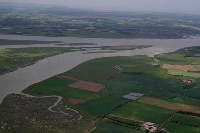
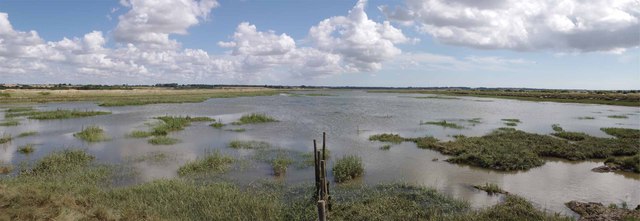
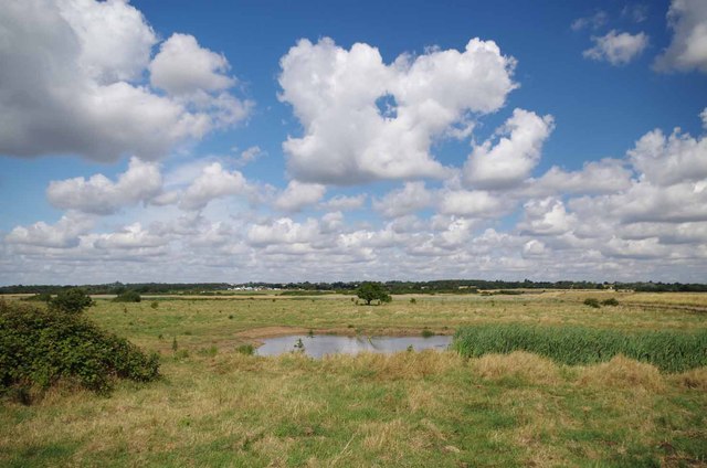
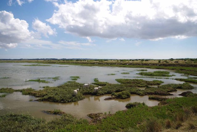
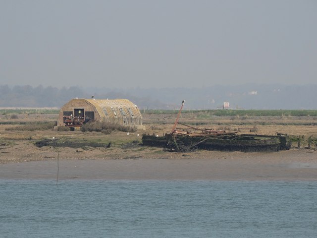
Maydays Marsh is a coastal marshland located in Essex, England. Spanning over a vast area, it is known for its unique landscape and ecological importance. The marsh is predominantly characterized by a mixture of salt marshes and saltings, creating a diverse and thriving ecosystem.
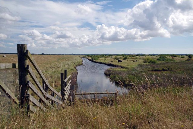
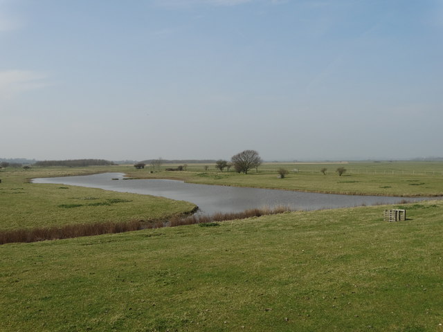
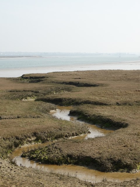
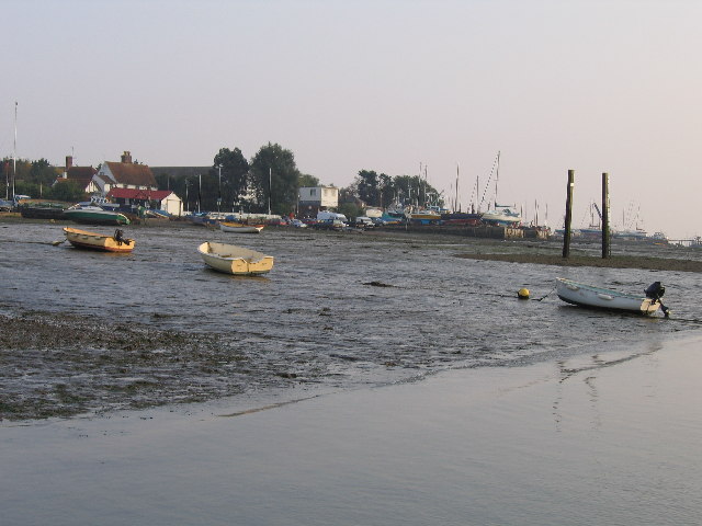
The marshland is situated along the coastline, allowing for a dynamic interaction between the land and sea. It is influenced by tidal patterns, which result in regular flooding and ebbing of the marshes. This constant shift of water levels creates a rich environment for a variety of plant and animal species to thrive.
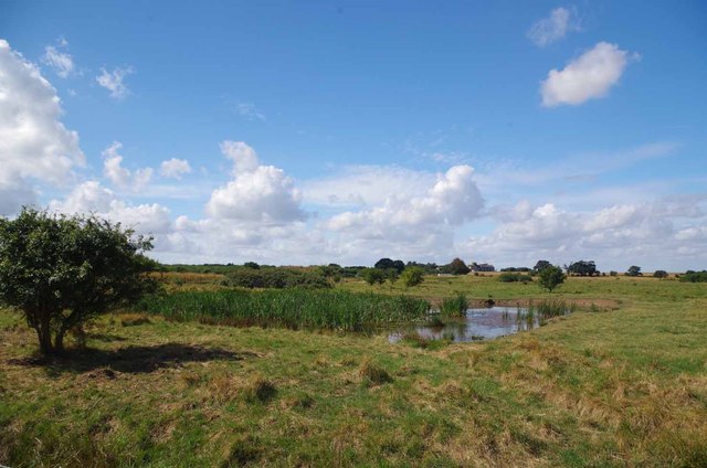
The vegetation in Maydays Marsh is primarily salt-tolerant, with common species such as sea lavender, cordgrass, and glasswort. These plants play a crucial role in stabilizing the marshland and providing habitats for numerous bird species and small mammals. The marsh is particularly renowned for attracting migratory birds during the breeding season, making it a popular spot for birdwatchers.
The marshland also serves as an essential buffer zone, protecting the surrounding areas from coastal erosion and flooding. The intricate network of channels and creeks found within Maydays Marsh helps to dissipate the force of incoming tides and storms, reducing the impact on the neighboring communities.
Maydays Marsh is not only a haven for wildlife but also a valuable site for research and education. Scientists and conservationists study the biodiversity and ecological processes within the marsh to better understand its significance and promote its conservation.
Overall, Maydays Marsh in Essex is a remarkable coastal ecosystem, combining stunning natural beauty, diverse wildlife, and ecological importance. It provides a vital habitat for various species and plays a crucial role in protecting the surrounding areas from the forces of nature.
If you have any feedback on the listing, please let us know in the comments section below.
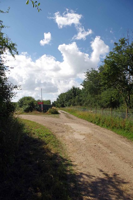
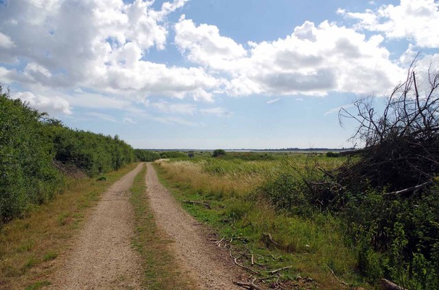
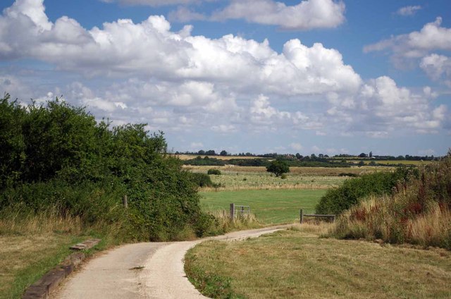
Maydays Marsh Images
Images are sourced within 2km of 51.804586/0.94876123 or Grid Reference TM0315. Thanks to Geograph Open Source API. All images are credited.


Maydays Marsh is located at Grid Ref: TM0315 (Lat: 51.804586, Lng: 0.94876123)
Administrative County: Essex
District: Colchester
Police Authority: Essex
What 3 Words
///insect.rides.clipboard. Near West Mersea, Essex
Nearby Locations
Related Wikis

Mersea Island
Mersea Island is an island in Essex, England, in the Blackwater and Colne estuaries to the south-east of Colchester. Its name comes from the Old English...

Barrow Hill, Essex
Barrow Hill is a hamlet in Essex, England. It is located on Mersea Island, approximately 2 km (1.2 mi) north-northeast of West Mersea near to where the...

Colne Estuary
Colne Estuary is a 2915 hectare biological and geological Site of Special Scientific Interest near Brightlingsea in Essex. It is also a Nature Conservation...

Ray Island
Ray Island, also known as the Ray, is a 40.5-hectare (100-acre) nature reserve west of Mersea Island in Essex. It is owned by the National Trust, who bought...

East Mersea
East Mersea is a village and civil parish on Mersea Island in the City of Colchester district of Essex, England. It was historically referred to as Mersea...
West Mersea
West Mersea is a town and electoral ward in Essex, England. It is the larger (in terms of population) of two settlements on Mersea Island, south of Colchester...
Langenhoe
Langenhoe is a village in the City of Colchester district of Essex, England, located south of Colchester. According to the 2001 census it had a population...

Fingringhoe Wick
Fingringhoe Wick is a 48.6-hectare (120-acre) nature reserve in Fingringhoe in Essex. It is managed by the Essex Wildlife Trust, which runs a visitor centre...
Have you been to Maydays Marsh?
Leave your review of Maydays Marsh below (or comments, questions and feedback).