Beach Way
Coastal Marsh, Saltings in Norfolk North Norfolk
England
Beach Way
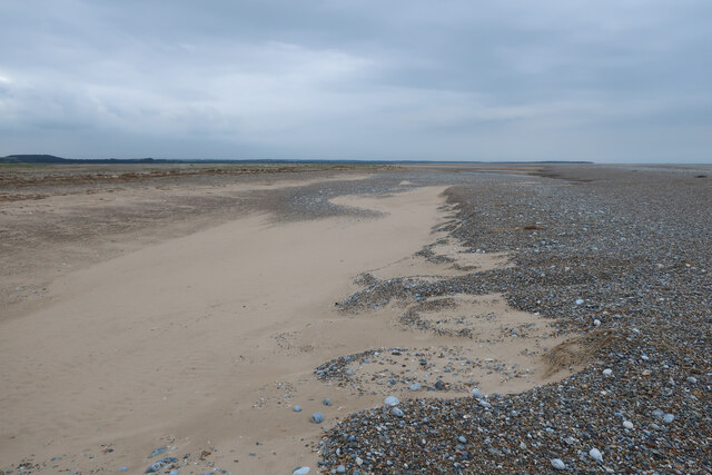
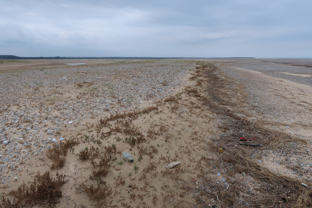
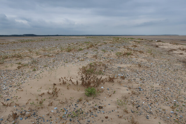
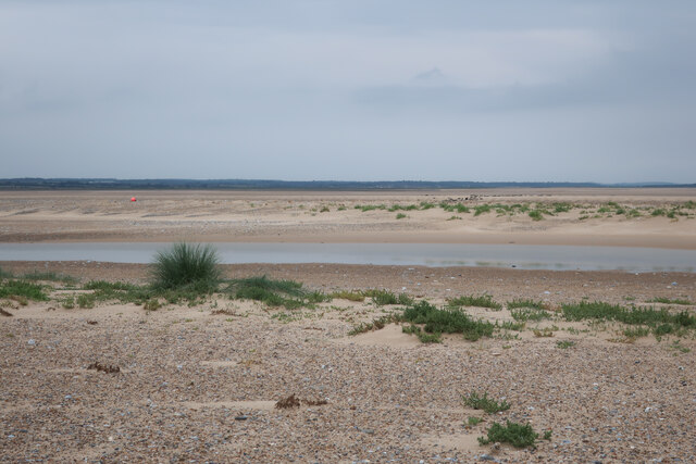
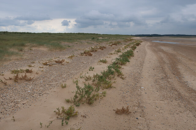
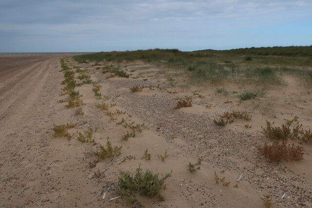
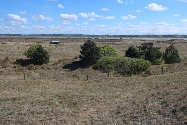
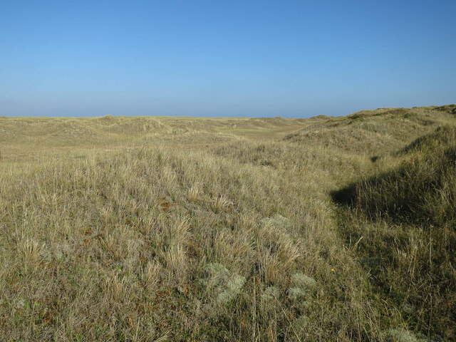
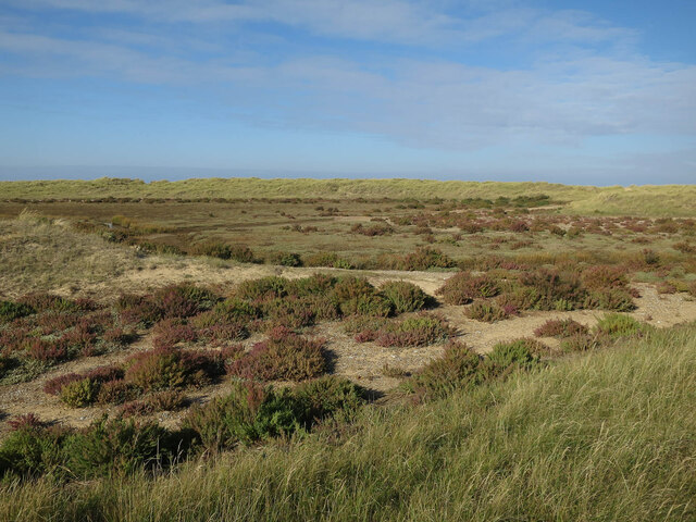
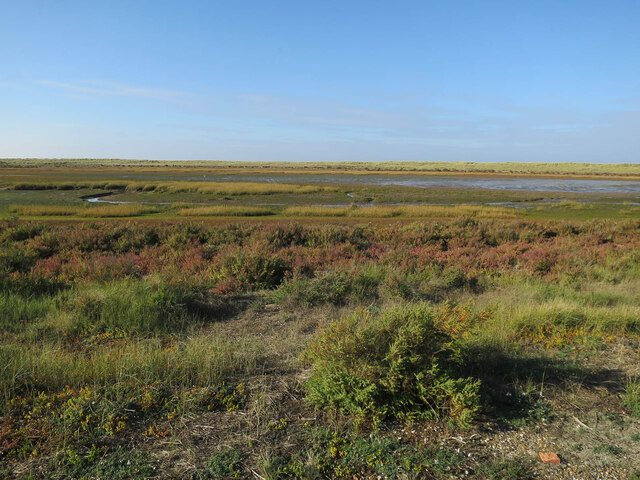
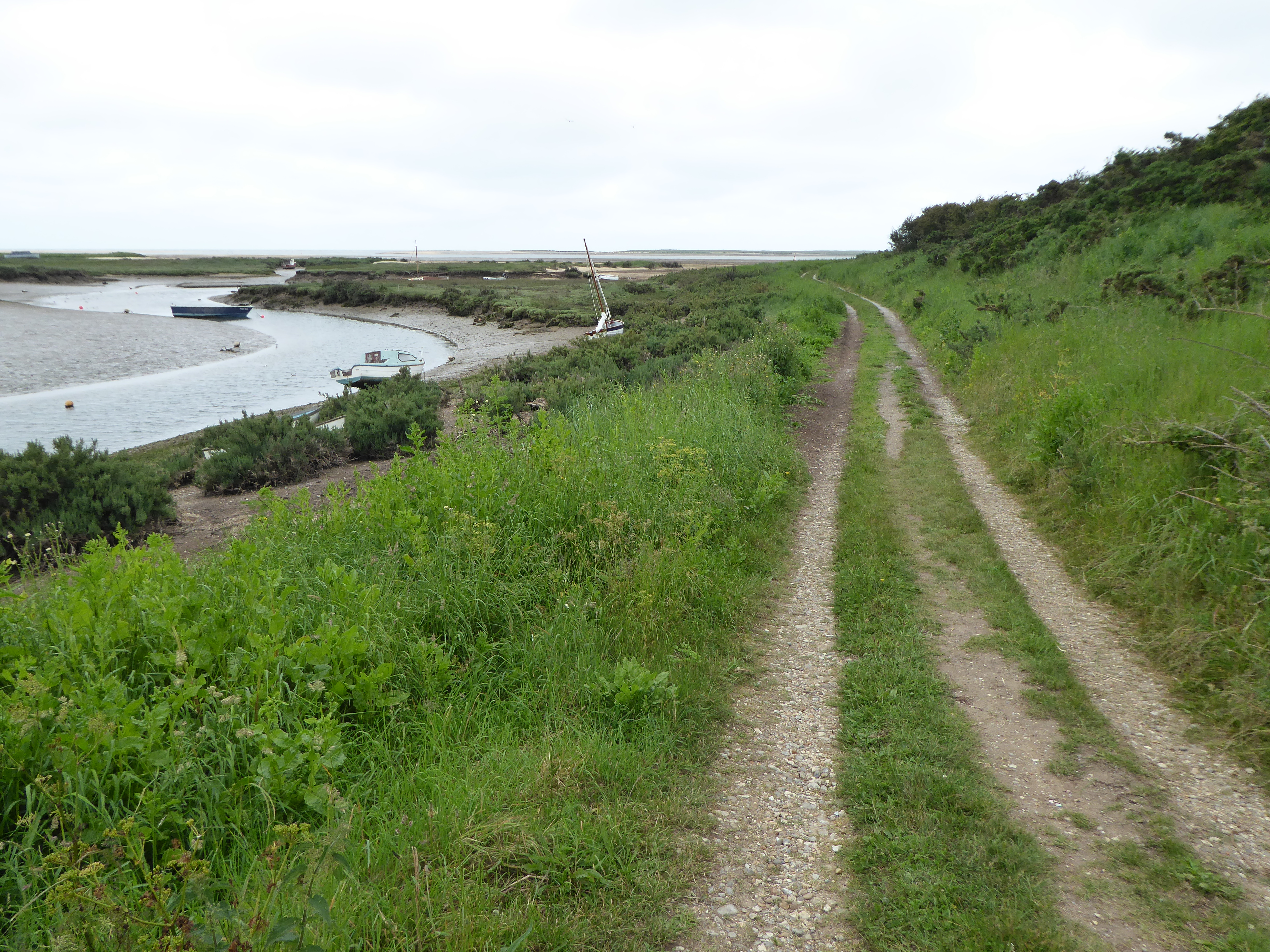
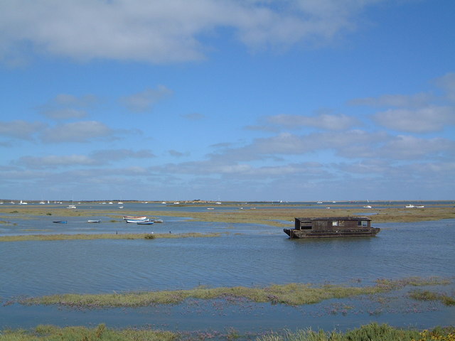
Beach Way is a stunning coastal marsh located in Norfolk, England. This area is known for its unique and diverse ecosystem, characterized by its salt marshes and saltings.
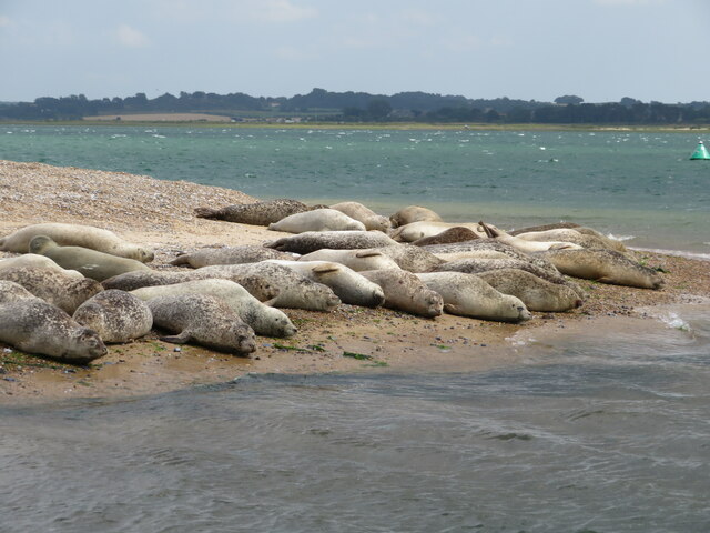
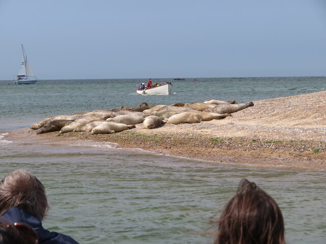
The marshes of Beach Way are home to a rich variety of plant and animal species, making it an important habitat for wildlife. The salt marshes are dominated by salt-tolerant grasses, such as sea rush and sea lavender, which thrive in the brackish water. These grasses provide nesting sites for birds and serve as feeding grounds for wading birds like redshanks and curlews.
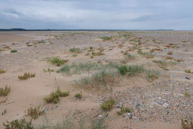
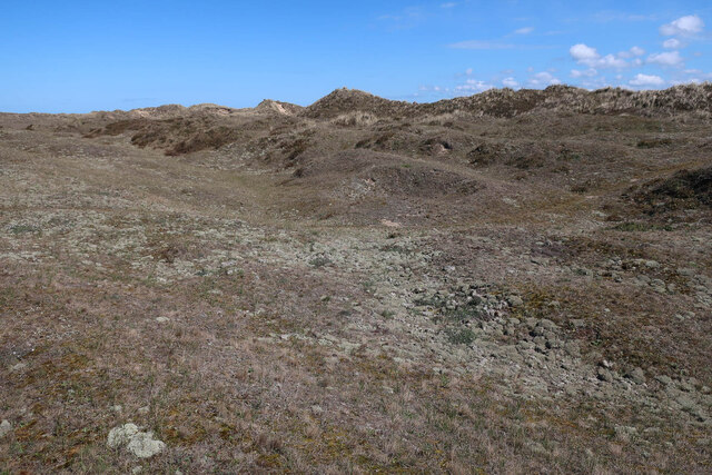
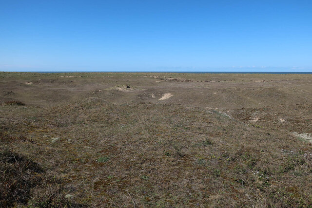
The saltings of Beach Way are another defining feature of this area. Saltings are coastal marshes that are periodically flooded by seawater during high tides. The flooding helps to create a unique environment that supports a range of specialized plants and animals. The saltings are a haven for various species of salt-tolerant plants, such as glasswort and samphire, which provide food for insects and grazing animals.
The diverse ecosystem of Beach Way also attracts a variety of bird species, including migrating birds that use the marshes as a resting and feeding stopover during their journeys. The area is also home to small mammals like voles and water shrews, as well as reptiles such as adders and grass snakes.
Beach Way is not only a vital habitat for wildlife, but it also provides important ecosystem services. The marshes act as a natural defense against coastal erosion, absorbing wave energy and reducing the impact of storms. They also play a role in water filtration and nutrient cycling, helping to maintain water quality and support the overall health of the surrounding ecosystem.
Overall, Beach Way is a fascinating and ecologically important coastal marsh that offers a unique opportunity to explore and appreciate the wonders of nature.
If you have any feedback on the listing, please let us know in the comments section below.
Beach Way Images
Images are sourced within 2km of 52.97459/0.98165793 or Grid Reference TG0046. Thanks to Geograph Open Source API. All images are credited.

Beach Way is located at Grid Ref: TG0046 (Lat: 52.97459, Lng: 0.98165793)
Administrative County: Norfolk
District: North Norfolk
Police Authority: Norfolk
What 3 Words
///solve.canoe.handlebar. Near Wells-next-the-Sea, Norfolk
Nearby Locations
Related Wikis
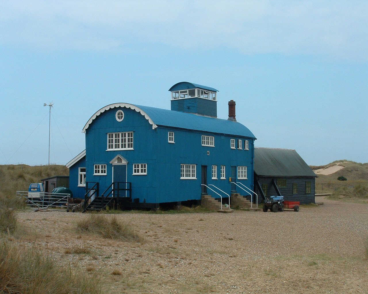
Blakeney Point
Blakeney Point (designated as Blakeney National Nature Reserve) is a national nature reserve situated near to the villages of Blakeney, Morston and Cley...
Norfolk Coast AONB
The Norfolk Coast Area of Outstanding Natural Beauty is a protected landscape in Norfolk, England. It covers over 450 km2 of coastal and agricultural...
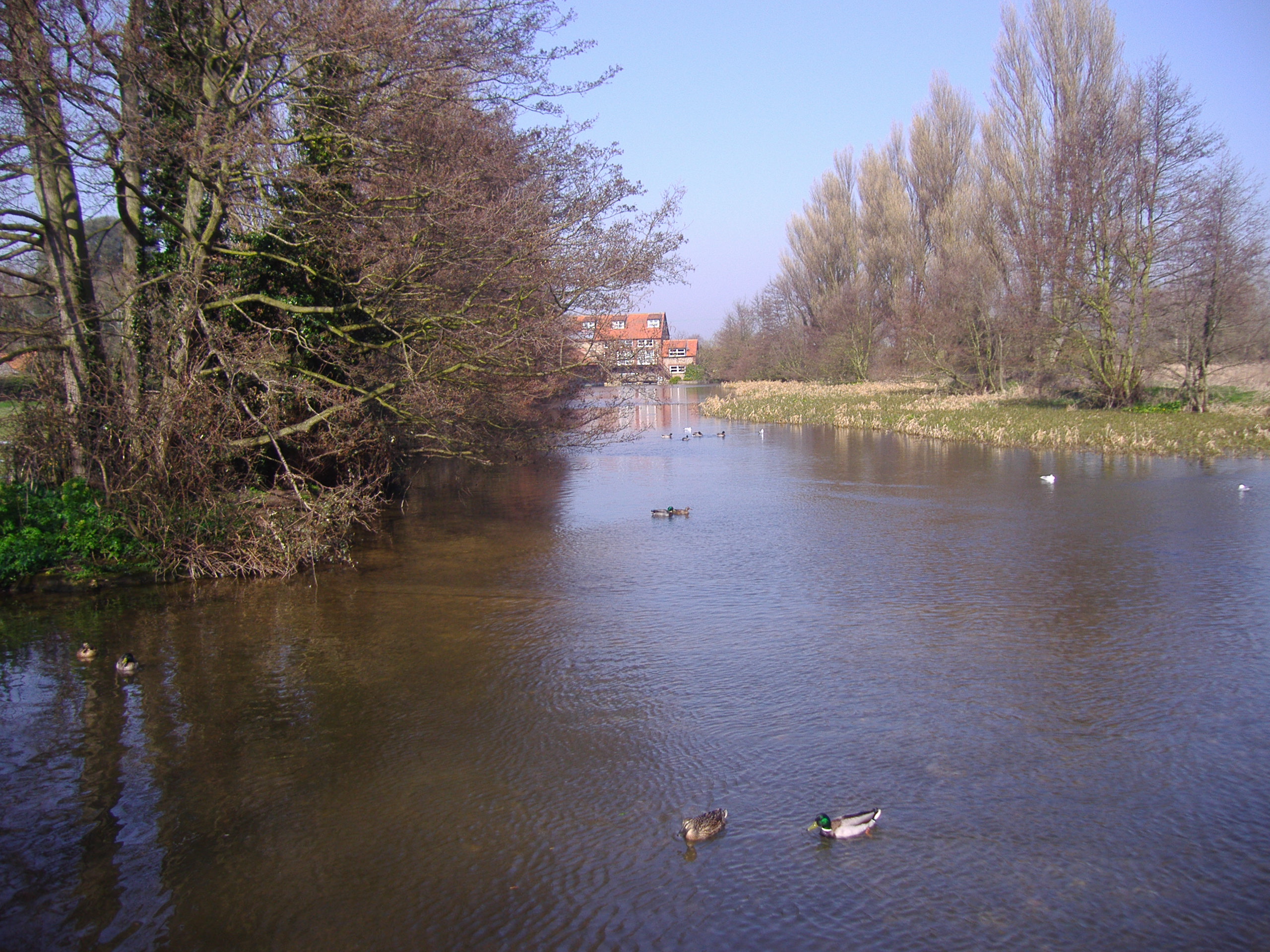
River Glaven
The River Glaven in the eastern English county of Norfolk is 10.5 mi (16.9 km) long and flows through picturesque North Norfolk countryside to the North...

Morston
Morston is a village and civil parish in the English county of Norfolk. It covers an area of 8.68 km2 (3.35 sq mi) and had a population of 86 in 42 households...

River Stiffkey
The River Stiffkey is a chalk stream running through an area of north Norfolk, England from its source near Swanton Novers to flow out into the North Sea...
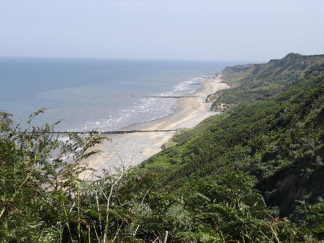
Morston Cliff
Morston Cliff is a 1-hectare (2.5-acre) geological Site of Special Scientific Interest east of Wells-next-the-Sea in Norfolk. It is a Geological Conservation...
North Norfolk Coast Site of Special Scientific Interest
The North Norfolk Coast Site of Special Scientific Interest (SSSI) is an area of European importance for wildlife in Norfolk, England. It comprises 7,700...

Blakeney Guildhall
Blakeney Guildhall is a building in the coastal village of Blakeney in the north of the county of Norfolk. The property is in the care of English Heritage...
Nearby Amenities
Located within 500m of 52.97459,0.98165793Have you been to Beach Way?
Leave your review of Beach Way below (or comments, questions and feedback).