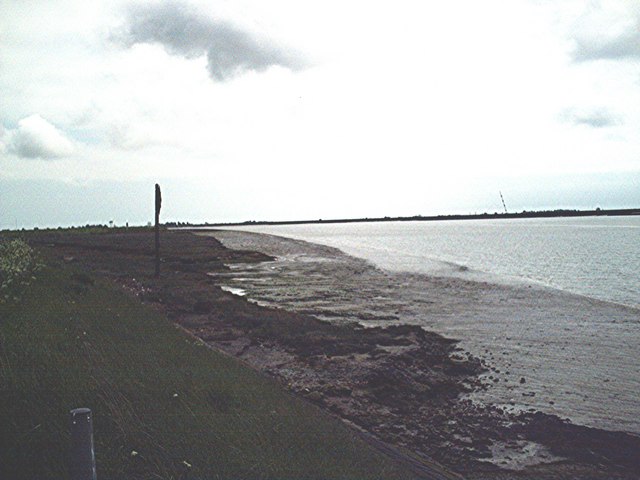
Clark's Hard

Coastal Marsh, Saltings in Essex Rochford

England

Clark's Hard

War Department Boundary Marker, Foulness Located adjacent to the Foulness Heritage Centre which is open the first Sunday of the month, April to October.

Milestone Society ID No. EX_WDFOUL02em
War Department Boundary Marker, Foulness Credit: Paul Jones

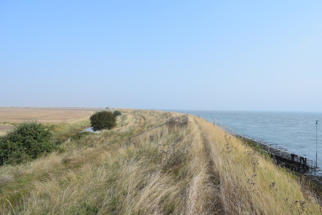
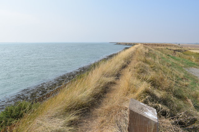
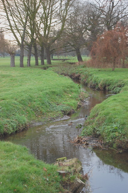
Clark's Hard is a coastal marsh located in Essex, England, known for its beautiful and diverse ecosystem. Situated within the larger area of the Essex Coast Marshes, it encompasses a vast expanse of saltings, which are low-lying areas of coastal land that are regularly flooded by the tides.

The marsh is characterized by its unique blend of saltwater and freshwater habitats, making it a haven for a wide array of plant and animal species. The intertidal mudflats provide abundant food sources, attracting numerous wading birds such as curlews, redshanks, and avocets. These birds can often be seen probing the mud with their long beaks in search of invertebrates.

The vegetation in Clark's Hard is predominantly composed of salt-tolerant plants, including samphire, sea lavender, and glasswort. These plants have adapted to the high salinity levels in the marshes and play a crucial role in stabilizing the soil and preventing erosion.

The marsh is also home to various fish species, such as flounders and bass, which take advantage of the sheltered waters and abundant food sources. Migratory fish, like salmon and sea trout, use the marsh as a crucial spawning ground.

Clark's Hard offers a rich and diverse landscape for nature enthusiasts and birdwatchers alike. Its significance as a protected area ensures that the delicate balance of the ecosystem is maintained, providing a vital habitat for both resident and migratory species. The marsh serves as a valuable site for scientific research and education, offering visitors the opportunity to learn about the importance of coastal ecosystems and the need for their conservation.

If you have any feedback on the listing, please let us know in the comments section below.
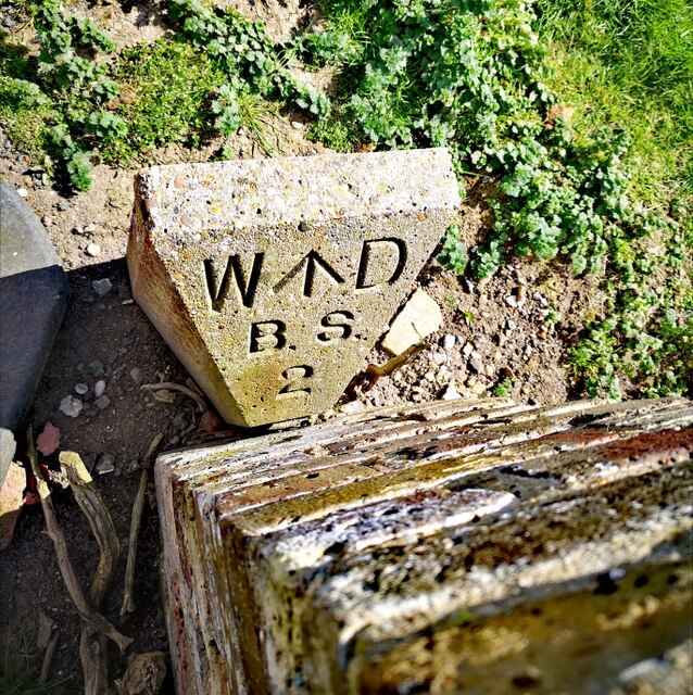
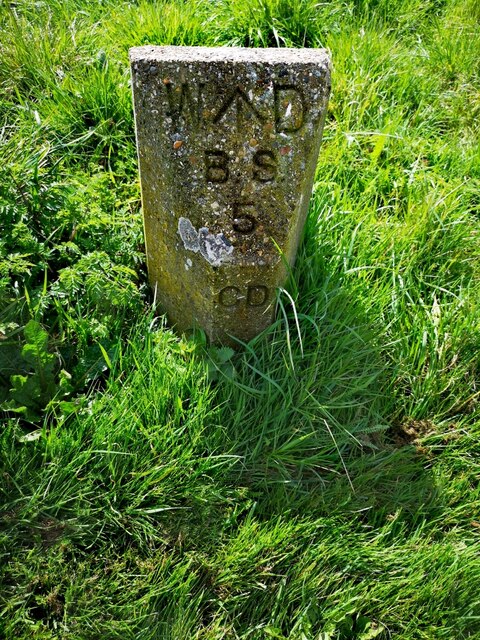
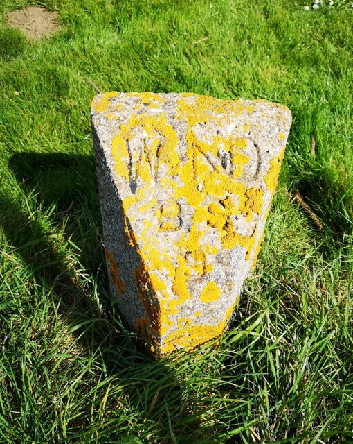
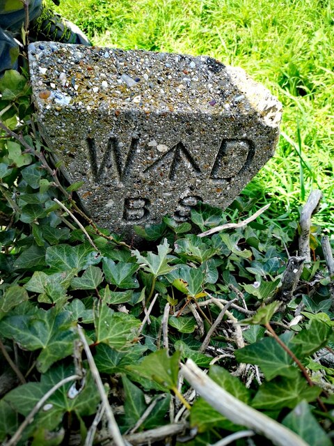
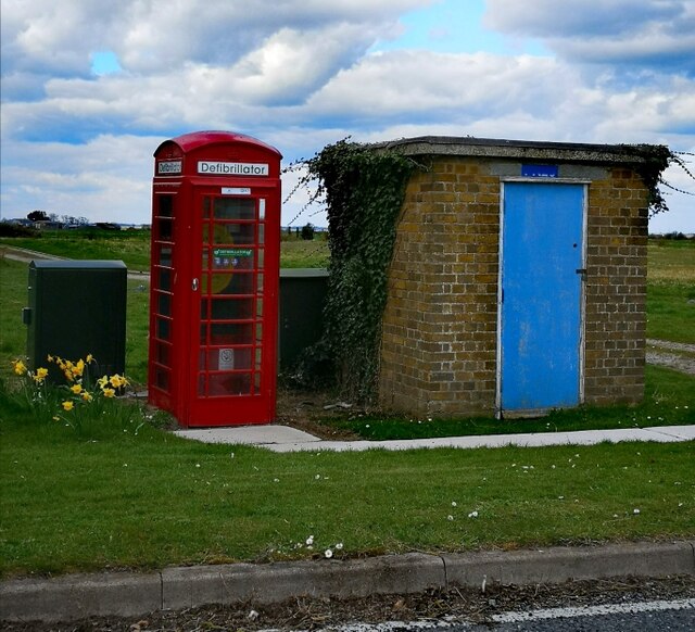
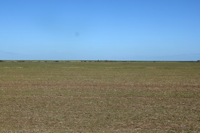
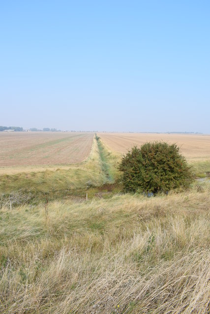
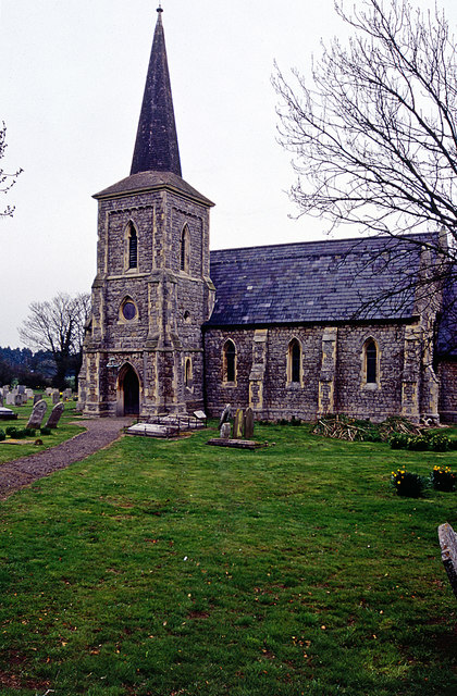
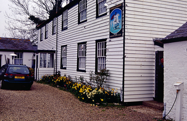
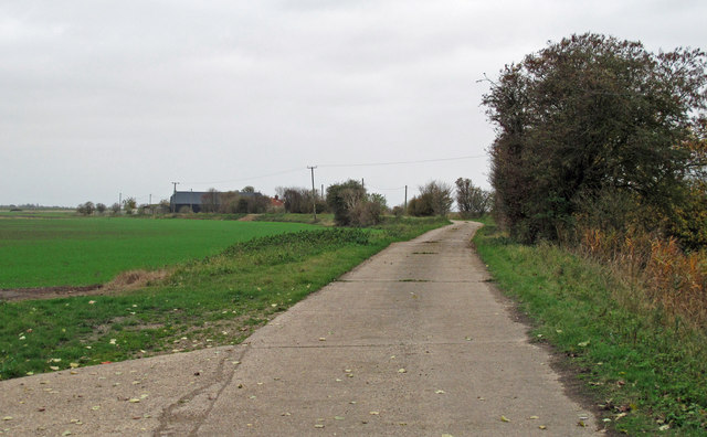
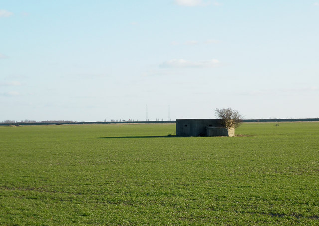
Clark's Hard Images

Images are sourced within 2km of 51.616405/0.8902808 or Grid Reference TR0094. Thanks to Geograph Open Source API. All images are credited.

War Department Boundary Marker, Foulness Located adjacent to the Foulness Heritage Centre which is open the first Sunday of the month, April to October.

Milestone Society ID No. EX_WDFOUL02em
War Department Boundary Marker, Foulness
Located adjacent to the Foulness Heritage Centre which is open the first Sunday of the month, April to October. Milestone Society ID No. EX_WDFOUL02em
War Department Boundary Marker, Foulness War Department boundary marker located close to the Heritage Centre. Foulness is open to the public on the first Sunday of the month, April to October.

Milestone Society ID No. EX_WDFOUL05em
War Department Boundary Marker, Foulness
War Department boundary marker located close to the Heritage Centre. Foulness is open to the public on the first Sunday of the month, April to October. Milestone Society ID No. EX_WDFOUL05em
War Department Boundary Marker, Foulness War Department boundary marker located close to the Heritage Centre. Foulness is open to the public on the first Sunday of the month, April to October.

Milestone Society ID No. EX_WDFOUL09em
War Department Boundary Marker, Foulness
War Department boundary marker located close to the Heritage Centre. Foulness is open to the public on the first Sunday of the month, April to October. Milestone Society ID No. EX_WDFOUL09em
War Department Boundary Marker, Foulness War Department boundary marker located close to the Heritage Centre and just outside St Mary & All Saints' Church. Foulness is open to the public on the first Sunday of the month, April to October.

Milestone Society ID No. EX_WDFOUL01em
War Department Boundary Marker, Foulness
War Department boundary marker located close to the Heritage Centre and just outside St Mary & All Saints' Church. Foulness is open to the public on the first Sunday of the month, April to October. Milestone Society ID No. EX_WDFOUL01em
K6, Bridge Road, Foulness Decommissioned K6 telephone box, now used, as they are so often, to house a defibrillator.
K6, Bridge Road, Foulness
Decommissioned K6 telephone box, now used, as they are so often, to house a defibrillator.
Field south of Crouch Corner Featureless - except for the hares which can't be seen here!
Field south of Crouch Corner
Featureless - except for the hares which can't be seen here!
Approaching Holliwell Sluice ... marked by the steps ahead.
Approaching Holliwell Sluice
... marked by the steps ahead.
Drainage ditch The ditch runs between vast arable fields typical of the area. Taken from the sea wall path.
Drainage ditch
The ditch runs between vast arable fields typical of the area. Taken from the sea wall path.
River Crouch sea wall path Looking west along the sea wall from the footpath junction (the sea wall path with the path coming south from Coney Hall and Holliwell Farm).
River Crouch sea wall path
Looking west along the sea wall from the footpath junction (the sea wall path with the path coming south from Coney Hall and Holliwell Farm).
Approaching Coney Hall Coney Hall and other cottages around it stand at the eastern end of Marsh Road.
Approaching Coney Hall
Coney Hall and other cottages around it stand at the eastern end of Marsh Road.
St Mary the Virgin, Churchend, Foulness Island Closed since 2010 and showing the first small signs of disrepair
St Mary the Virgin, Churchend, Foulness Island
Closed since 2010 and showing the first small signs of disrepair
Unusual view of St Mary the Virgin, Foulness As seen from Foulness Heritage Centre.
Unusual view of St Mary the Virgin, Foulness
As seen from Foulness Heritage Centre.
Foulness Church The Church of St Mary the Virgin on Foulness Island was consecrated in 1853 when it replaced an older building that had been in a poor state of repair. It is now grade II listed. At the time of this photograph the church and churchyard was on the only land on the island that was not the property of the Ministry of Defence. Faced with a declining population and the restricted access to the public the church closed in 2010.
Foulness Church
The Church of St Mary the Virgin on Foulness Island was consecrated in 1853 when it replaced an older building that had been in a poor state of repair. It is now grade II listed. At the time of this photograph the church and churchyard was on the only land on the island that was not the property of the Ministry of Defence. Faced with a declining population and the restricted access to the public the church closed in 2010.
The George and Dragon, Foulness Island It would be possible to draw up a list of pubs in Great Britain that require some effort to visit. Such a list might include the Marisco Tavern on Lundy, the Applecross Inn in the Scottish Highlands, and the Ty Coch Inn at Porthdinllaen - but (until its closure in 2007) the George and Dragon at Churchend on Foulness Island was perhaps the most bizarre. Intending customers who were not resident on the island had to contact the landlord 24 hours in advance giving their names and vehicle details. On arrival at the island, they would be stopped at a checkpoint and issued with pre-printed passes, complete with lanyards, and directed to drive straight to the pub without stopping - and to return the same way at the end of their visit. At the pub the landlord would check the credentials before serving drinks. The reason for all this palaver lay in the fact that the island was (and still is) owned by the Ministry of Defence and managed by defence contractors Qinetiq for testing munitions. Whether it made any real contribution to security is probably debatable but it certainly made life difficult for the publican.
The George and Dragon, Foulness Island
It would be possible to draw up a list of pubs in Great Britain that require some effort to visit. Such a list might include the Marisco Tavern on Lundy, the Applecross Inn in the Scottish Highlands, and the Ty Coch Inn at Porthdinllaen - but (until its closure in 2007) the George and Dragon at Churchend on Foulness Island was perhaps the most bizarre. Intending customers who were not resident on the island had to contact the landlord 24 hours in advance giving their names and vehicle details. On arrival at the island, they would be stopped at a checkpoint and issued with pre-printed passes, complete with lanyards, and directed to drive straight to the pub without stopping - and to return the same way at the end of their visit. At the pub the landlord would check the credentials before serving drinks. The reason for all this palaver lay in the fact that the island was (and still is) owned by the Ministry of Defence and managed by defence contractors Qinetiq for testing munitions. Whether it made any real contribution to security is probably debatable but it certainly made life difficult for the publican.
Track to Holliwell Farm Public footpath on private road, which leads to River Crouch.
Track to Holliwell Farm
Public footpath on private road, which leads to River Crouch.
Dengie Pillbox Taken from Marsh Road.
Dengie Pillbox
Taken from Marsh Road.
Tree lined road near East Wick The Dengie (pronounced with a soft G) Peninsula is an area of South Essex, bounded by the River Blackwater to the north, the River Crouch to the south  and the North Sea to the east. The western Boundary of the old "Dengie Hundred" ran from (and included) North Fambridge to Woodham Walter: The nearby town of Maldon was not part of the Dengie Hundred as it was a borough in its own right. See <span class="nowrap"><a title="http://en.wikipedia.org/wiki/File:Essex_Hundreds_1830.png" rel="nofollow ugc noopener" href="http://en.wikipedia.org/wiki/File:Essex_Hundreds_1830.png">Link</a><img style="margin-left:2px;" alt="External link" title="External link - shift click to open in new window" src="https://s1.geograph.org.uk/img/external.png" width="10" height="10"/></span> for a map of the Essex Hundreds.

The area has a relatively low population density, with large areas of farm and marsh land. The largest towns are Burnham on Crouch with a population of c. 7,500 and Southminster with a population of c. 3,800.

Useful links:
Dengie 100  <span class="nowrap"><a title="http://www.dengie.org.uk/" rel="nofollow ugc noopener" href="http://www.dengie.org.uk/">Link</a><img style="margin-left:2px;" alt="External link" title="External link - shift click to open in new window" src="https://s1.geograph.org.uk/img/external.png" width="10" height="10"/></span>
Essex-family-history <span class="nowrap"><a title="http://www.essex-family-history.co.uk/history.htm" rel="nofollow ugc noopener" href="http://www.essex-family-history.co.uk/history.htm">Link</a><img style="margin-left:2px;" alt="External link" title="External link - shift click to open in new window" src="https://s1.geograph.org.uk/img/external.png" width="10" height="10"/></span>
wikipedia <span class="nowrap"><a title="http://en.wikipedia.org/wiki/Dengie_peninsula" rel="nofollow ugc noopener" href="http://en.wikipedia.org/wiki/Dengie_peninsula">Link</a><img style="margin-left:2px;" alt="External link" title="External link - shift click to open in new window" src="https://s1.geograph.org.uk/img/external.png" width="10" height="10"/></span>
Tree lined road near East Wick
The Dengie (pronounced with a soft G) Peninsula is an area of South Essex, bounded by the River Blackwater to the north, the River Crouch to the south and the North Sea to the east. The western Boundary of the old "Dengie Hundred" ran from (and included) North Fambridge to Woodham Walter: The nearby town of Maldon was not part of the Dengie Hundred as it was a borough in its own right. See LinkExternal link for a map of the Essex Hundreds. The area has a relatively low population density, with large areas of farm and marsh land. The largest towns are Burnham on Crouch with a population of c. 7,500 and Southminster with a population of c. 3,800. Useful links: Dengie 100 LinkExternal link Essex-family-history LinkExternal link wikipedia LinkExternal link
Road to Courtsend This is part of the road between Churchend and Courtsend on Foulness Island, looking back towards Churchend.
Road to Courtsend
This is part of the road between Churchend and Courtsend on Foulness Island, looking back towards Churchend.
Show me another place!

Clark's Hard is located at Grid Ref: TR0094 (Lat: 51.616405, Lng: 0.8902808)

Administrative County: Essex

District: Rochford

Police Authority: Essex

What 3 Words

///singles.bulge.arts. Near Burnham-on-Crouch, Essex

Nearby Locations

Clark's Hard High Corner

Related Wikis

River Roach

The River Roach is a river that flows entirely through the English county of Essex. It is one of four main streams that originate in the Rayleigh Hills...

Saint Mary the Virgin, Foulness Island

Saint Mary the Virgin is a parish of the Church of England on Foulness Island, in Essex, England. Before the 15th century, the island of Foulness was divided...

Foulness Island

Foulness Island () is a closed island on the east coast of Essex in England, which is separated from the mainland by narrow creeks. In the 2001 census...

Wallasea Wetlands

Wallasea Wetlands is a reclaimed wetlands area located in Essex, England. It has been created as part of a government-funded wetlands scheme to halt the...

River Crouch

The River Crouch is a small river that flows entirely through the English county of Essex. The distance of the Navigation between Holliwell Point which...

Wallasea Island

Wallasea Island lies in Essex, England. It is bounded to the north by the River Crouch, to the south east by the River Roach, and to the west by Paglesham...

Royal Corinthian Yacht Club

The Royal Corinthian Yacht Club is a watersports organisation based at Burnham-on-Crouch, Essex. == History == === Early history === The club was founded...

Foulness SSSI

Foulness SSSI is a 10,702 hectare biological Site of Special Scientific Interest covering the shoreline between Southend-on-Sea and the Crouch estuary...

Related Videos

Episode 057: The Great Flood Of 1953

Residents along the Essex coast awoke in the early hours of 1st February 1953 to a storm surge sweeping across the land.

The Broomway. A tidal byway over Foulness sands.

This is an unedited video of us riding The Broomway, a right of way across Foulness Sand off the Essex coast. It has a reputation ...

Nearby Amenities

Located within 500m of 51.616405,0.8902808
Source: PGS
Lat/Long: 51.6161546/0.8841331
Source: PGS
Lat/Long: 51.6160347/0.8855279
Source: PGS
Lat/Long: 51.615918/0.8869047
Source: PGS
Lat/Long: 51.6156516/0.8893294
Source: PGS
Lat/Long: 51.6153451/0.8917327
Source: PGS
Lat/Long: 51.6149721/0.8942432
Source: PGS
Lat/Long: 51.6144391/0.8955307
Clarks Hard
Place: locality
Lat/Long: 51.6166818/0.8900766
The data included in this document is from www.openstreetmap.org. The data is made available under ODbL.

Have you been to Clark's Hard?

Leave your review of Clark's Hard below (or comments, questions and feedback).