Black Grounds

Coastal Marsh, Saltings in Essex Rochford

England

Black Grounds

Windsurfing at Shoeburyness The windsurfer is keeping upright, for the moment at least, on this very warm August day off the East Beach at Shoeburyness. The end of the Shoeburyness Boom can be seen to the left of the ship's bows (this was a cold war period protection against submarine attacks) and the north Kent coast can just be discerned on the horizon.
Windsurfing at Shoeburyness Credit: Stephen McKay

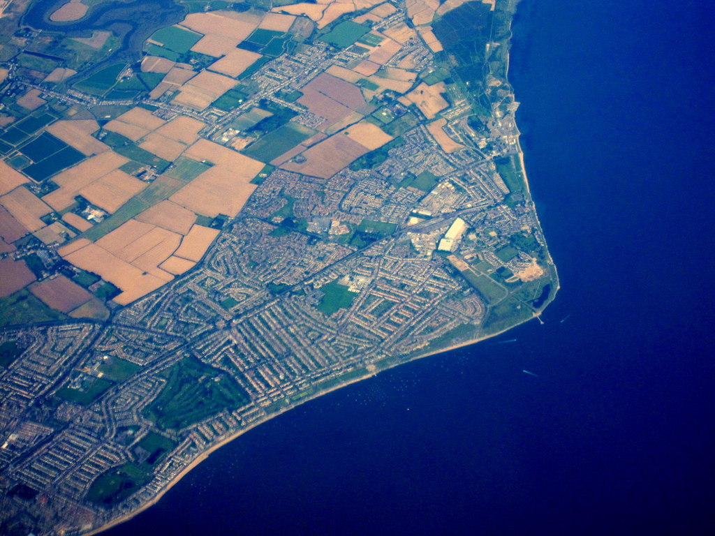
Black Grounds, Essex is a coastal marshland situated in the southeastern region of England. This area is known for its unique and diverse ecosystem, characterized by salt marshes and saltings. The marshland is located near the town of Brightlingsea and covers an extensive area along the coast.

The Black Grounds is renowned for its rich biodiversity and ecological importance. The salt marshes are home to a variety of plant and animal species that have adapted to the brackish water conditions. Notable vegetation includes sea lavender, samphire, and sea purslane, which thrive in the saltwater environment.

The marshlands serve as a vital habitat for numerous bird species, making it a popular destination for birdwatchers. Visitors can spot wading birds such as oystercatchers, redshanks, and curlews, among others. Additionally, the area serves as a nesting site for various seabirds, including gulls and terns.

Apart from its ecological significance, Black Grounds offers breathtaking views and stunning landscapes. The vast expanse of salt marshes against the backdrop of the sea creates a picturesque setting, attracting nature enthusiasts and photographers alike.

The Black Grounds also plays a crucial role in coastal protection, acting as a buffer against erosion and storm surges. The salt marshes help to dissipate wave energy and stabilize the coastline, providing a natural defense mechanism against the forces of the sea.

Overall, Black Grounds, Essex is a remarkable coastal marshland that showcases the beauty of nature and provides a sanctuary for a wide range of plant and animal species. Its ecological importance, scenic landscapes, and protective role make it a valuable asset to the region.

If you have any feedback on the listing, please let us know in the comments section below.

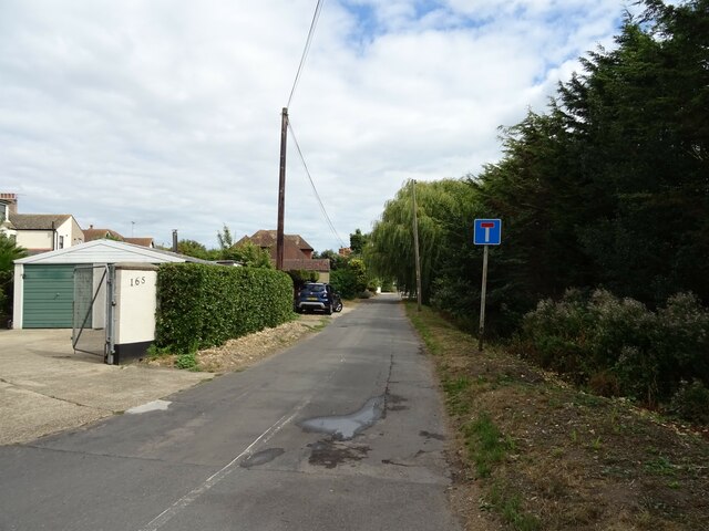
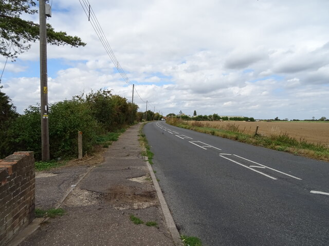
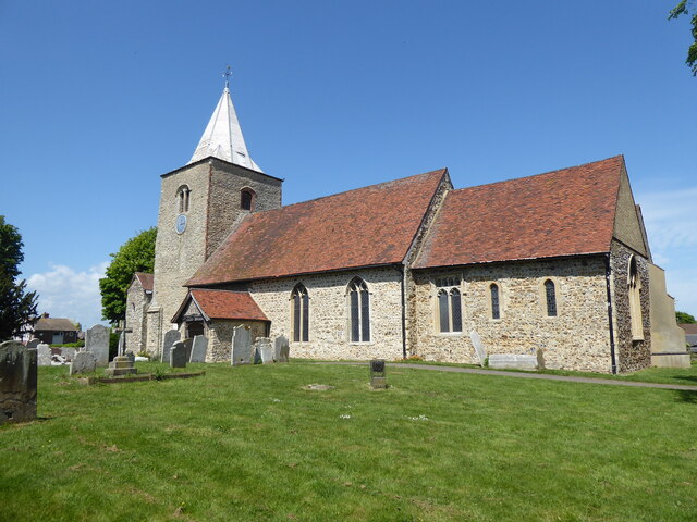
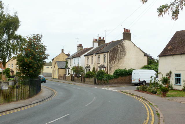
Black Grounds Images

Images are sourced within 2km of 51.539685/0.8280124 or Grid Reference TQ9686. Thanks to Geograph Open Source API. All images are credited.

Windsurfing at Shoeburyness The windsurfer is keeping upright, for the moment at least, on this very warm August day off the East Beach at Shoeburyness. The end of the Shoeburyness Boom can be seen to the left of the ship's bows (this was a cold war period protection against submarine attacks) and the north Kent coast can just be discerned on the horizon.
Windsurfing at Shoeburyness
The windsurfer is keeping upright, for the moment at least, on this very warm August day off the East Beach at Shoeburyness. The end of the Shoeburyness Boom can be seen to the left of the ship's bows (this was a cold war period protection against submarine attacks) and the north Kent coast can just be discerned on the horizon.
National Coastwatch Southend Lookout Station The National Coastwatch Institution provides a watching and listening service from stations around the coast of England and Wales. The watchkeepers are volunteers and the organisation should not be confused with HM Coastguard. The Southend Station is actually adjacent to the East Beach at Shoeburyness but within the QinetiQ compound, so access for the public is by prior arrangement only. The cabins were delivered to site in 2020 and from here the watchkeepers have an excellent view across the southern end of the Essex coast where it turns into the Thames Estuary.
National Coastwatch Southend Lookout Station
The National Coastwatch Institution provides a watching and listening service from stations around the coast of England and Wales. The watchkeepers are volunteers and the organisation should not be confused with HM Coastguard. The Southend Station is actually adjacent to the East Beach at Shoeburyness but within the QinetiQ compound, so access for the public is by prior arrangement only. The cabins were delivered to site in 2020 and from here the watchkeepers have an excellent view across the southern end of the Essex coast where it turns into the Thames Estuary.
Shoeburyness Boom This curious structure, extending 2.01km out to sea (with two angled turns) from the East Beach at Shoeburyness, is a relic of the cold war. It was built between 1950 and 1953, replacing a Second World War boom that had been dismantled, and was originally 600m longer. Its purpose, together with a second boom stretching out from the Kent side of the Thames Estuary, was to prevent an attack on London by submarine; the open deep water channel between the booms would be protected by Royal Navy vessels at times of high alert. It wasn't long before the boom became obsolete as it offered no protection from jet fighters and nuclear weapons. The Kent side boom was removed in the 1960s but the Shoeburyness one remains, largely intact, and is now a scheduled monument.
Shoeburyness Boom
This curious structure, extending 2.01km out to sea (with two angled turns) from the East Beach at Shoeburyness, is a relic of the cold war. It was built between 1950 and 1953, replacing a Second World War boom that had been dismantled, and was originally 600m longer. Its purpose, together with a second boom stretching out from the Kent side of the Thames Estuary, was to prevent an attack on London by submarine; the open deep water channel between the booms would be protected by Royal Navy vessels at times of high alert. It wasn't long before the boom became obsolete as it offered no protection from jet fighters and nuclear weapons. The Kent side boom was removed in the 1960s but the Shoeburyness one remains, largely intact, and is now a scheduled monument.
East Beach, Shoeburyness It is almost high tide and there is just a thin strip of sand and shingle to relax on; in fact, on this very warm August day there seems to be more people in the sea than on the beach. East Beach is sandwiched between sections of the shoreline with no access due to defence activities.
East Beach, Shoeburyness
It is almost high tide and there is just a thin strip of sand and shingle to relax on; in fact, on this very warm August day there seems to be more people in the sea than on the beach. East Beach is sandwiched between sections of the shoreline with no access due to defence activities.
Houses on Wakering Road
House on Wakering Road
Wakering Road Towards Great Wakering.
Wakering Road
Towards Great Wakering.
Cottages on Shoebury Road
Cupids Chase
Cupids Chase
Shoebury Road Towards Great Wakering.
Shoebury Road
Towards Great Wakering.
Field and hedgerow Off Shoebury Road.
Field and hedgerow
Off Shoebury Road.
Field near Great Wakering Off Shoebury Road.
Field near Great Wakering
Off Shoebury Road.
Shoebury Road Towards Great Wakering.
Shoebury Road
Towards Great Wakering.
St Nicholas Church, Great Wakering
The Waeccer, Great Wakering On High Street.
See <a href="https://www.geograph.org.uk/photo/7271352">TQ9487 : Sign for the Waeccer, Great Wakering </a> for sign.
The Waeccer, Great Wakering
On High Street. See TQ9487 : Sign for the Waeccer, Great Wakering for sign.
Great Wakering, St Nicholas
Shoebury Road, Great Wakering Towards the village centre.
Shoebury Road, Great Wakering
Towards the village centre.
Boats ashore, Shoebury East Beach On a fine day the place was abuzz with power tools, much boat maintenance was going on.
Boats ashore, Shoebury East Beach
On a fine day the place was abuzz with power tools, much boat maintenance was going on.
Show me another place!

Black Grounds is located at Grid Ref: TQ9686 (Lat: 51.539685, Lng: 0.8280124)

Administrative County: Essex

District: Rochford

Police Authority: Essex

What 3 Words

///yell.splendid.nags. Near Great Wakering, Essex

Related Wikis

Nearby Amenities

Located within 500m of 51.539685,0.8280124
Created By: dmgroom_coastlines
Lat/Long: 51.540889/0.821261
Created By: dmgroom_coastlines
Lat/Long: 51.5410605/0.821671
Created By: dmgroom_coastlines
Lat/Long: 51.541289/0.822063
Created By: dmgroom_coastlines
Lat/Long: 51.5415233/0.8226029
Created By: dmgroom_coastlines
Lat/Long: 51.5417612/0.8229834
Created By: dmgroom_coastlines
Lat/Long: 51.541959/0.823676
The data included in this document is from www.openstreetmap.org. The data is made available under ODbL.

Have you been to Black Grounds?

Leave your review of Black Grounds below (or comments, questions and feedback).