Gibbet Marsh
Coastal Marsh, Saltings in Sussex Rother
England
Gibbet Marsh
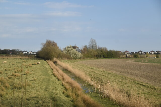
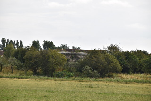
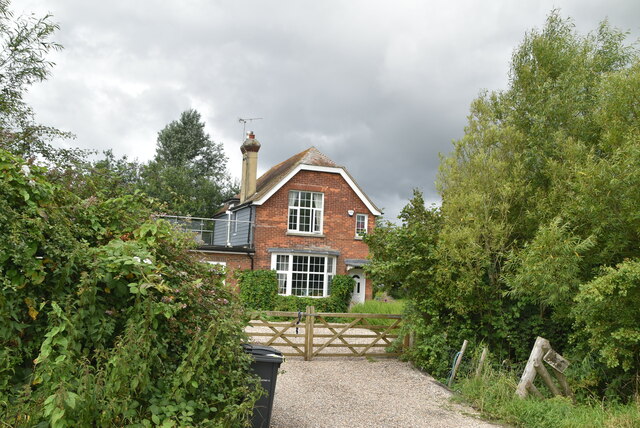
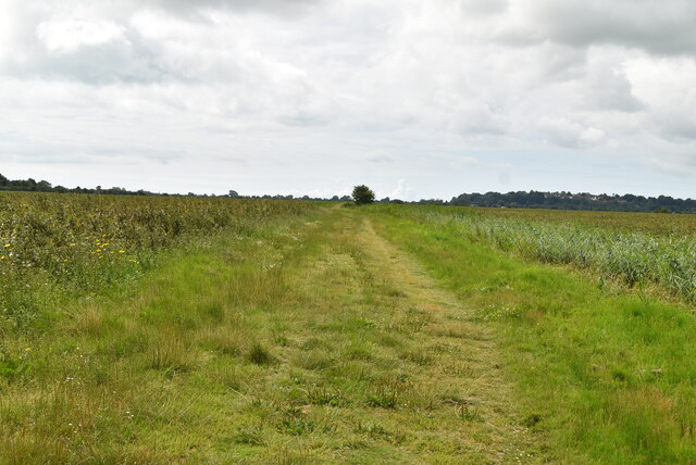
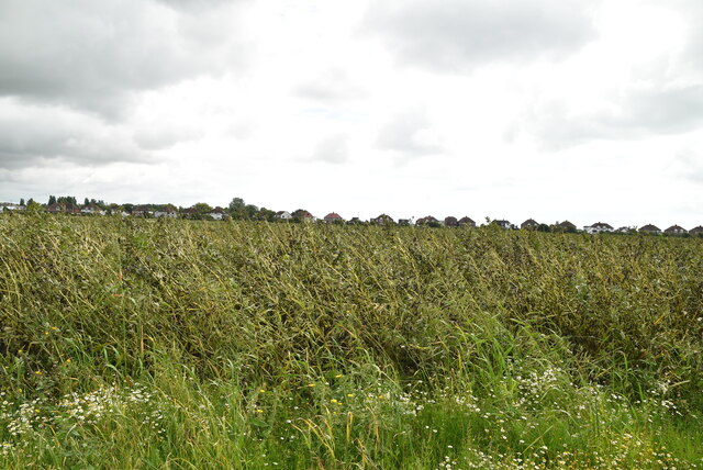
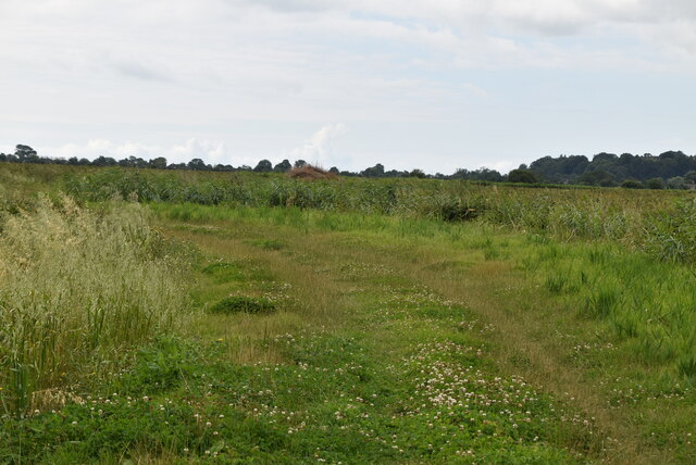
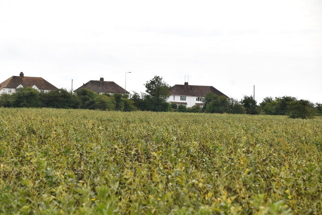
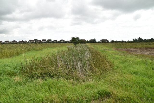
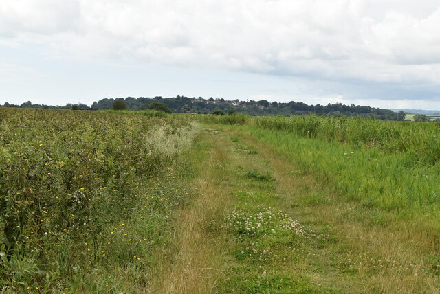
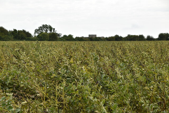
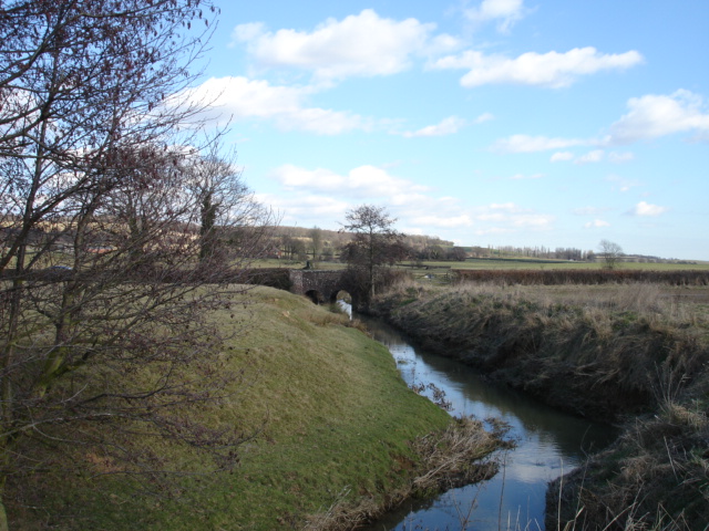
Gibbet Marsh is a coastal marshland located in Sussex, England. Situated near the village of Rye, it is a designated Site of Special Scientific Interest (SSSI) due to its unique ecological and geological features. The marsh is part of the larger Rye Harbour Nature Reserve, which encompasses a diverse range of habitats, including saltmarshes, mudflats, shingle beaches, and reedbeds.
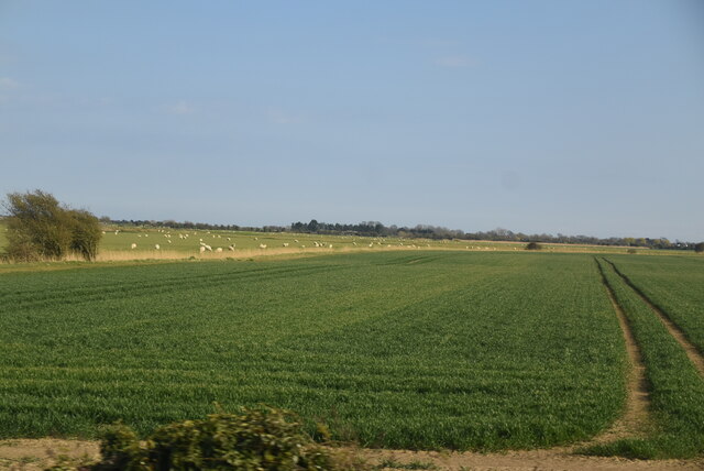
Gibbet Marsh is characterized by its extensive saltings, which are areas of salt-tolerant vegetation that grow in the intertidal zone. These saltings provide crucial habitat for a variety of plant and animal species, some of which are rare or endangered. The marsh is particularly renowned for its rich birdlife, attracting numerous species throughout the year, including wintering waterfowl, breeding waders, and migratory birds.
The marshland is also of geological interest, as it forms part of the Rye Bay formation, a sequence of sedimentary rocks dating back to the Late Cretaceous period. Fossilized remains of marine creatures, such as ammonites and belemnites, can occasionally be found along the coastline, providing insights into the ancient history of the area.
Visitors to Gibbet Marsh can explore the reserve along a network of footpaths and bird hides, allowing for wildlife observation and photography. The marsh provides a peaceful and serene environment, offering stunning panoramic views of the surrounding landscape and the English Channel beyond. It is a popular destination for nature enthusiasts, walkers, and birdwatchers, who can witness the dynamic interplay between land and sea in this unique coastal ecosystem.
If you have any feedback on the listing, please let us know in the comments section below.
Gibbet Marsh Images
Images are sourced within 2km of 50.949149/0.72412746 or Grid Reference TQ9120. Thanks to Geograph Open Source API. All images are credited.


Gibbet Marsh is located at Grid Ref: TQ9120 (Lat: 50.949149, Lng: 0.72412746)
Administrative County: East Sussex
District: Rother
Police Authority: Sussex
What 3 Words
///slack.glorious.focus. Near Rye, East Sussex
Nearby Locations
Related Wikis
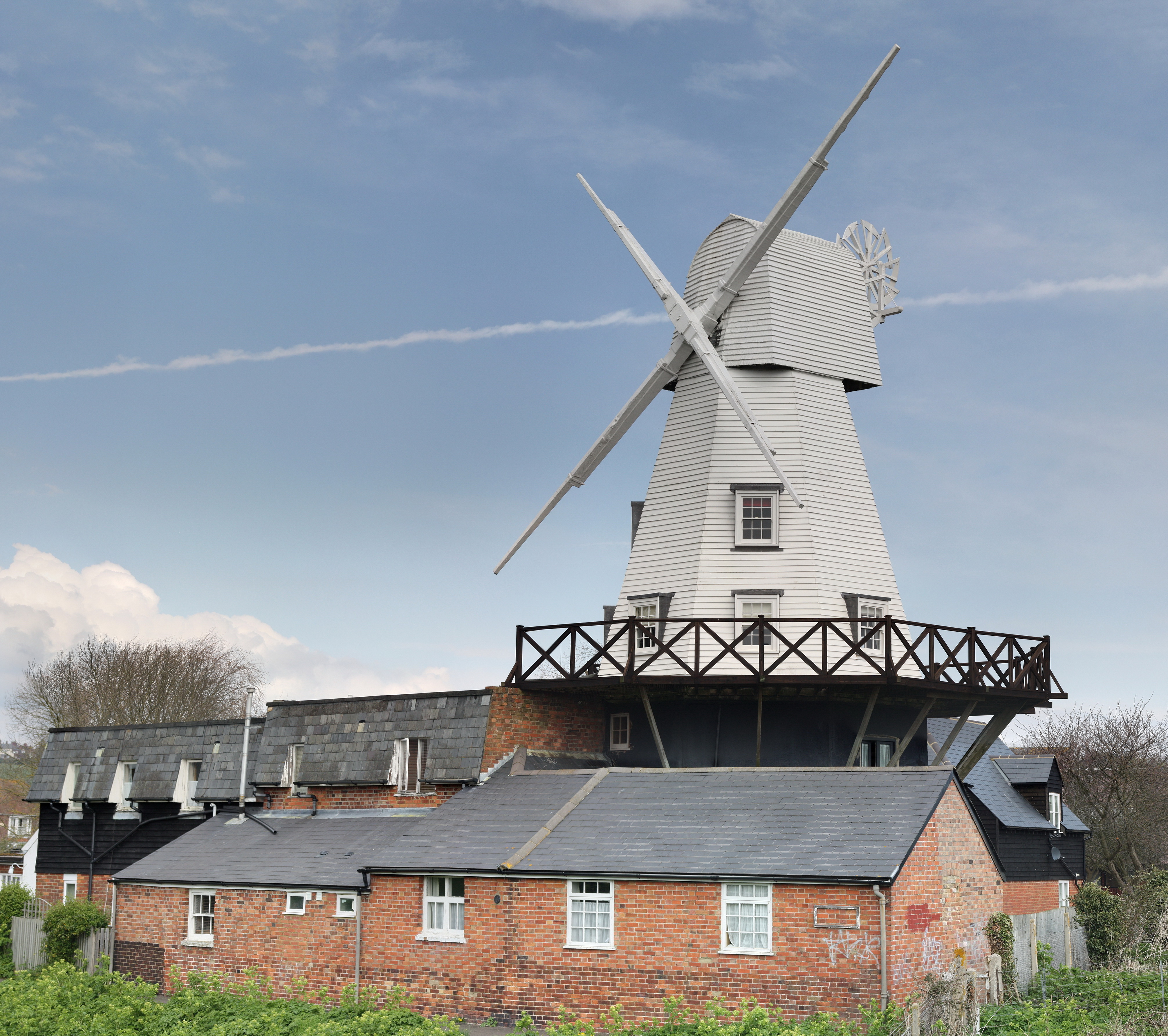
Gibbet Mill, Rye
Gibbet Mill, Tillingham Mill, Barry's Mill or New Mill is a grade II listed cosmetically reconstructed smock mill at Rye, East Sussex, England. Today it...

Rye, East Sussex
Rye is a town and civil parish in the Rother district of East Sussex, England, two miles (three kilometres) from the sea at the confluence of three rivers...

Rye Pottery
The Rye Pottery is a pottery in Rye, East Sussex, England, known as the Cadborough Pottery or "Rye Pottery" from its beginnings in c. 1834 to 1876, and...

Rye Particular Baptist Chapel
Rye Particular Baptist Chapel is a former Strict Baptist place of worship in Rye, an ancient hilltop town in Rother, one of six local government districts...

The Mermaid Inn, Rye
The Mermaid Inn is a Grade II* listed historical inn located on Mermaid Street in the ancient town of Rye, East Sussex, southeastern England. One of the...

The Olde Bell, Rye
The Olde Bell inn, also known as Ye Olde Bell, is a Grade II listed historical inn in Rye, East Sussex. It was built in 1390. It has a turbulent history...
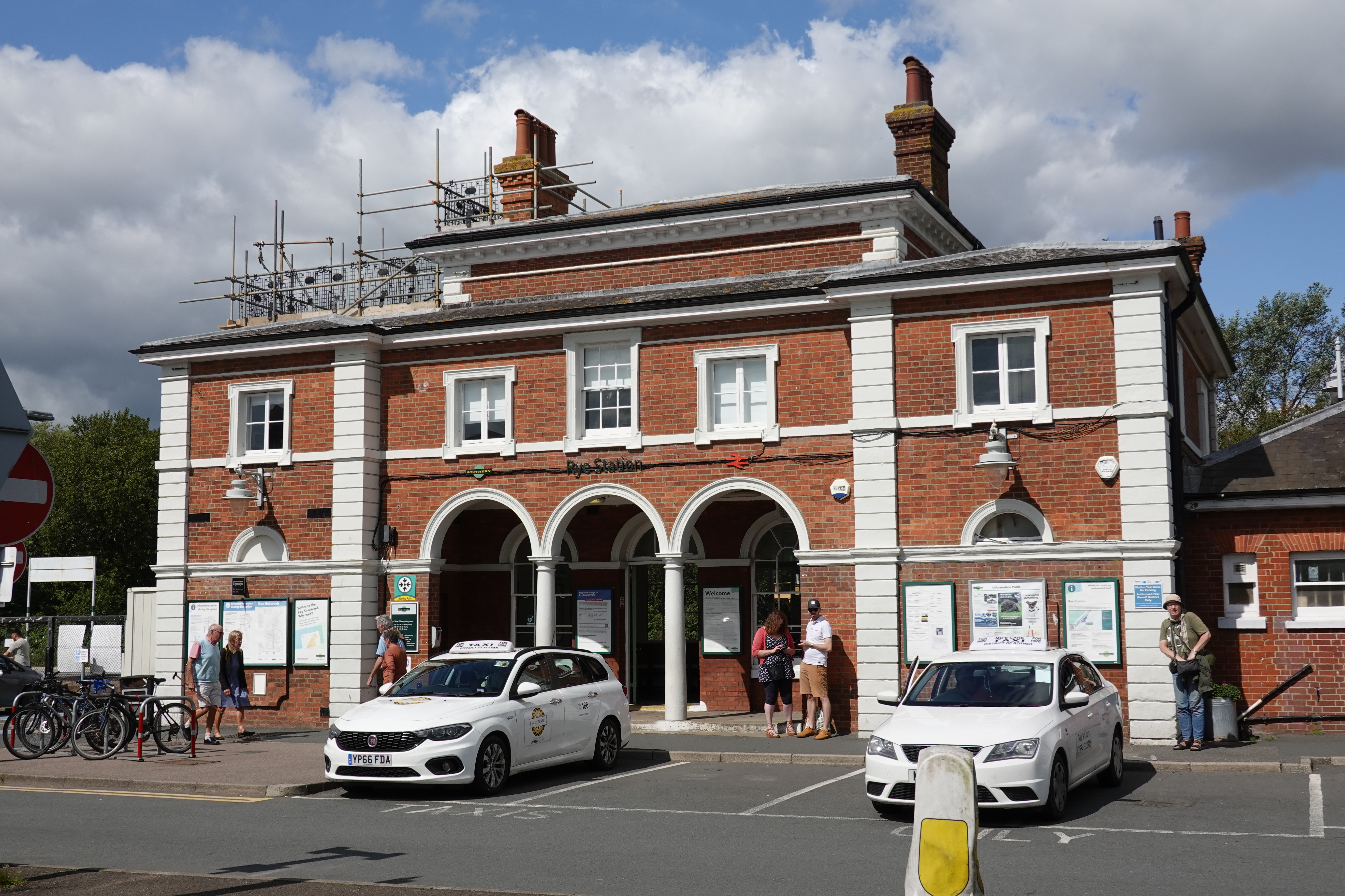
Rye railway station (East Sussex)
Rye railway station is a Grade II listed station, serving Rye, East Sussex, England. It is on the Marshlink line between Hastings and Ashford International...
River Tillingham
The River Tillingham flows through the English county of East Sussex. It meets the River Brede and the eastern River Rother near the town of Rye. A navigable...
Nearby Amenities
Located within 500m of 50.949149,0.72412746Have you been to Gibbet Marsh?
Leave your review of Gibbet Marsh below (or comments, questions and feedback).