Bowers Marshes
Coastal Marsh, Saltings in Essex Basildon
England
Bowers Marshes

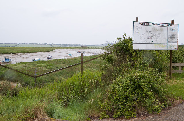
Bowers Marshes, located in Essex, England, is a stunning coastal marshland and saltings area with a rich variety of wildlife and natural features. Spread across an area of approximately 600 acres, this nature reserve is managed by the Royal Society for the Protection of Birds (RSPB).
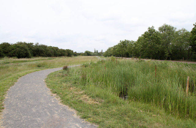
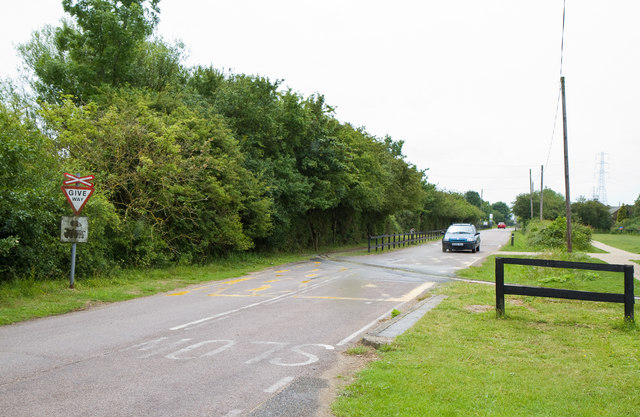
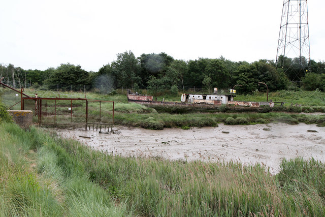
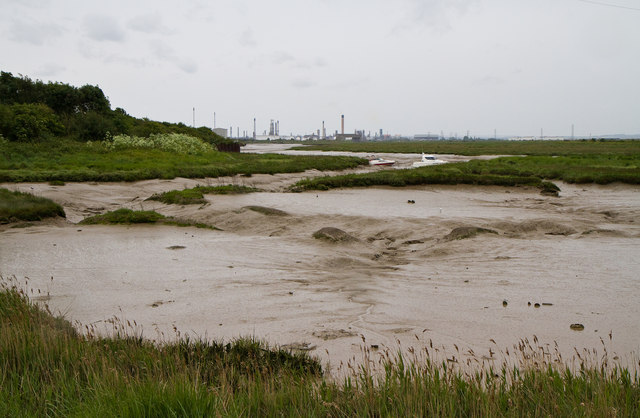
The marshes are situated near the town of Basildon, adjacent to the Thames Estuary. The landscape is characterized by a mosaic of saltmarsh, mudflats, lagoons, and reed beds, making it a haven for a diverse range of plant and animal species. The area is known for its tidal creeks and channels, which are heavily influenced by the ebb and flow of the estuarine tides.
Birdwatchers flock to Bowers Marshes to catch sight of the numerous species that inhabit or migrate through the area. Over 200 bird species have been recorded here, including wading birds like avocets, redshanks, and dunlins. The marshes also provide an important breeding ground for birds such as lapwings and redshanks.
Apart from birds, the reserve supports a wide range of other wildlife. Mammals such as hares, voles, and foxes can be spotted, while the lagoons and channels are home to fish, eels, and crabs. The diverse flora includes sea lavender, glasswort, and samphire, which thrive in the saline conditions.
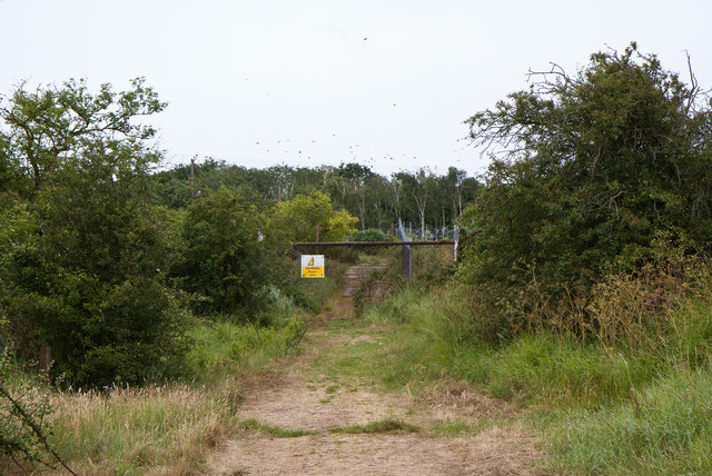
Bowers Marshes offers visitors several walking trails and observation points, allowing them to explore the reserve and observe its inhabitants. The RSPB organizes regular events and guided walks to educate visitors about the unique ecology and conservation efforts taking place in the area. With its beautiful scenery and abundant wildlife, Bowers Marshes is a must-visit destination for nature lovers and bird enthusiasts in Essex.
If you have any feedback on the listing, please let us know in the comments section below.
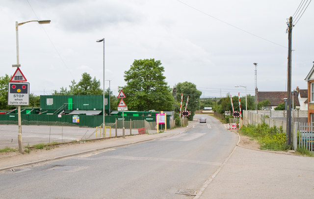
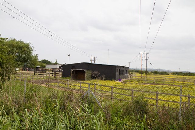
Bowers Marshes Images
Images are sourced within 2km of 51.547183/0.52430576 or Grid Reference TQ7586. Thanks to Geograph Open Source API. All images are credited.


Bowers Marshes is located at Grid Ref: TQ7586 (Lat: 51.547183, Lng: 0.52430576)
Administrative County: Essex
District: Basildon
Police Authority: Essex
What 3 Words
///lobby.hangs.deed. Near Pitsea, Essex
Nearby Locations
Related Wikis

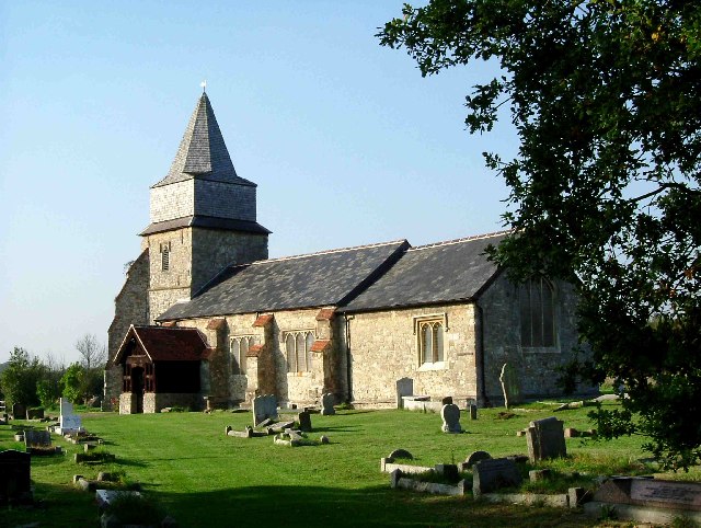
Church of St Margaret, Bowers Gifford
The Church of St Margaret is a 14th-century grade II* listed church near Bowers Gifford, Essex. As is common with many Essex churches, it features a wooden...

Pitsea Marsh
Pitsea Marsh is a 94.6-hectare (234-acre) Site of Special Scientific Interest in Pitsea in Essex. The southern half is the Wat Tyler Country Park, and...
Wat Tyler Country Park
Wat Tyler Country Park is a country park located to the south of Pitsea, Essex within the area of Pitsea Marsh. The area was inhabited from the Bronze...
Bowers Gifford and North Benfleet
Bowers Gifford and North Benfleet is a civil parish in the Basildon district, located within the county of Essex, England. The parish includes the villages...
Bowers Gifford
Bowers Gifford is a small village and former civil parish, now in the parish of Bowers Gifford and North Benfleet, in the Basildon district, in Essex,...

Pitsea waste management site
Pitsea waste management site is a large landfill site on the north side of the Thames estuary 0.7 miles (1.1 km) from Pitsea in Basildon, Essex. It is...

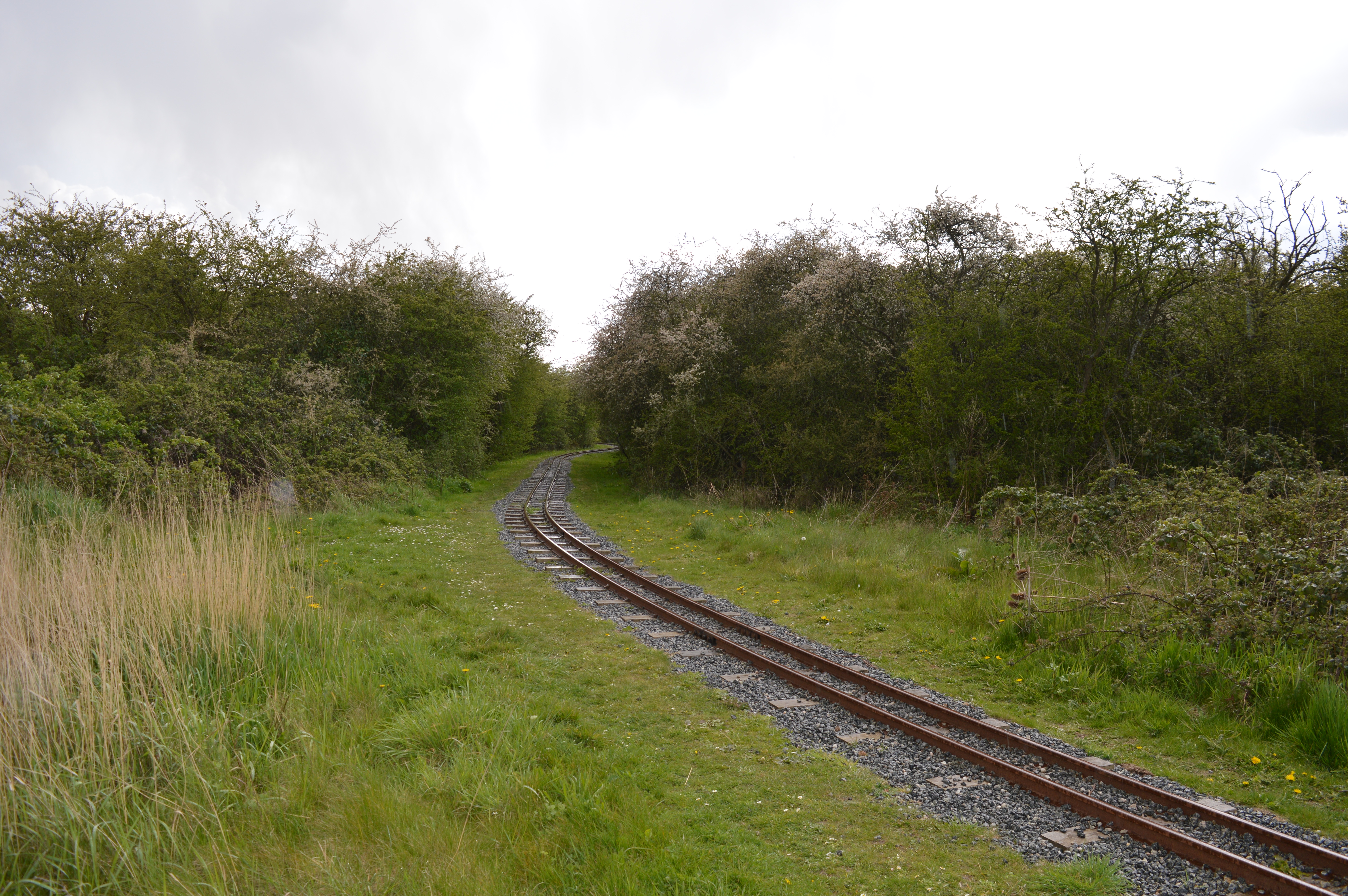
Pitsea railway station
Pitsea railway station is on the London, Tilbury and Southend line, serving the small town of Pitsea in the borough of Basildon, Essex. It is situated...
Battle of Benfleet
The Battle of Benfleet was an 894 battle between the Vikings and the Anglo-Saxons commanded by Edward the Elder and Æthelred, Lord of the Mercians, the...
Related Videos

SELLING LIVE FROM ESSEX BOOTSALE!!!
Live selling from Essex Bootsale! Sadlers farm… BARGAIN ALERT. Its ALL GOTTA GO..

We review a takeaway in basildon whipping up 6oz burgers & amazing ribs!
We review a new takeaway Serial Grill With a huge menu of burgers, sides and ribs, we had to check them out! Operating out of ...


b'lucky may day 2023 bank holiday mega car boot hunt video series vlog 179 sadlers car boot part 1/5
well you asked for mega video and i have delivered this is part 1 of 5 of may day bank holiday mega car boot hunt we found some ...
Nearby Amenities
Located within 500m of 51.547183,0.52430576Have you been to Bowers Marshes?
Leave your review of Bowers Marshes below (or comments, questions and feedback).