Borstal Marsh

Coastal Marsh, Saltings in Kent

England

Borstal Marsh

The Medway Bridges Three bridges cross the River Medway here. The nearest one carries HS1 and so you will see Javelins and Eurostars on it. The next one carries the westbound carriageway of the M2 while the furthest one carries the coastbound carriageway of the M2 as well as a footpath taking the North Downs Way over the river. This footpath passes underneath heading towards Rochester.
The Medway Bridges Credit: Marathon

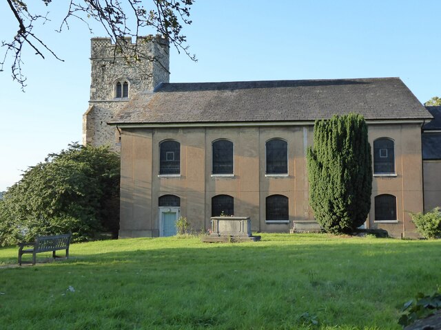
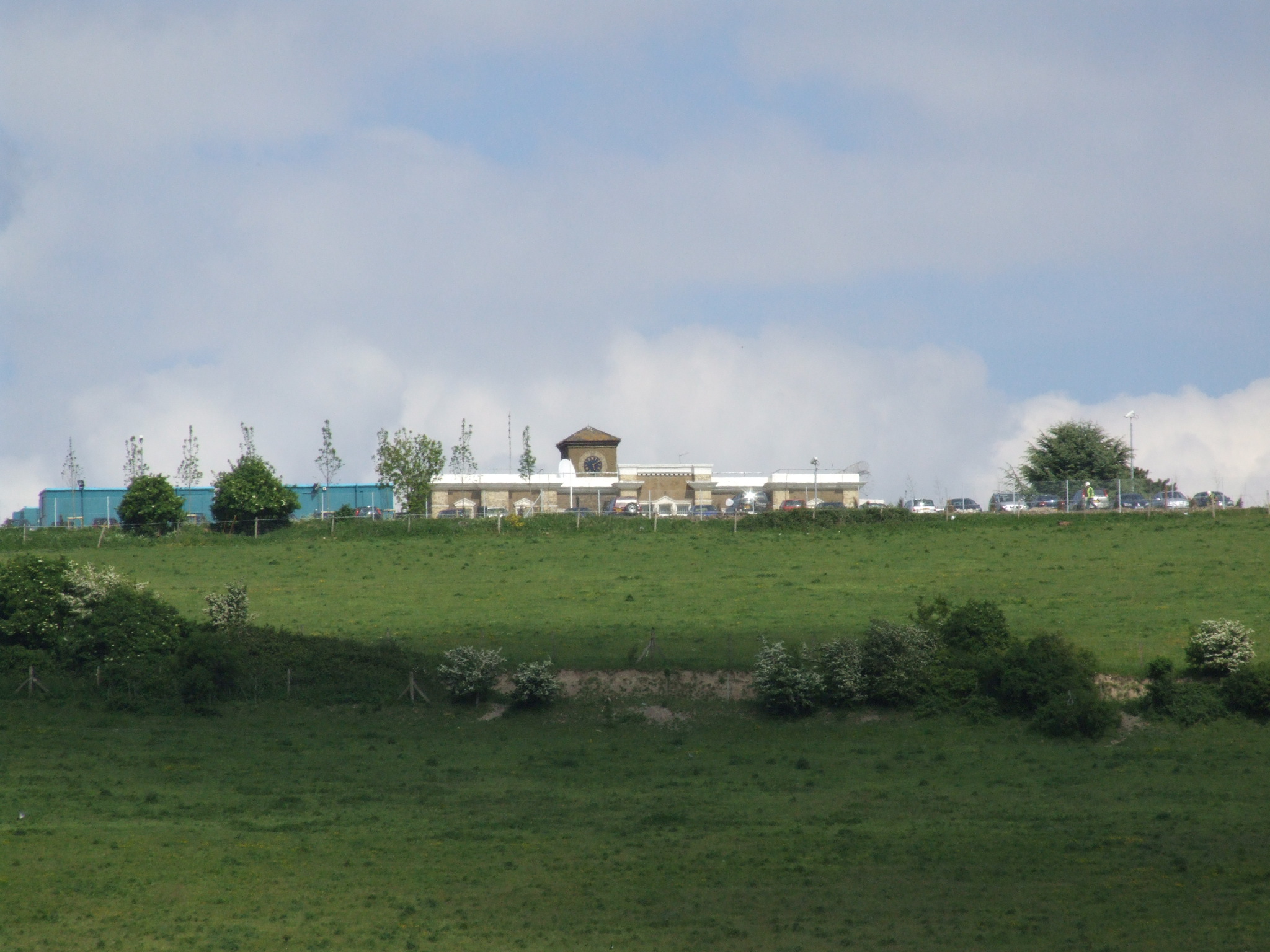
Borstal Marsh, located in Kent, England, is a coastal marshland characterized by its unique saltings landscape. Covering an area of approximately 200 acres, it is nestled between the River Medway and the Thames Estuary. The marshland is situated near the town of Rochester and is known for its diverse ecology and stunning natural beauty.

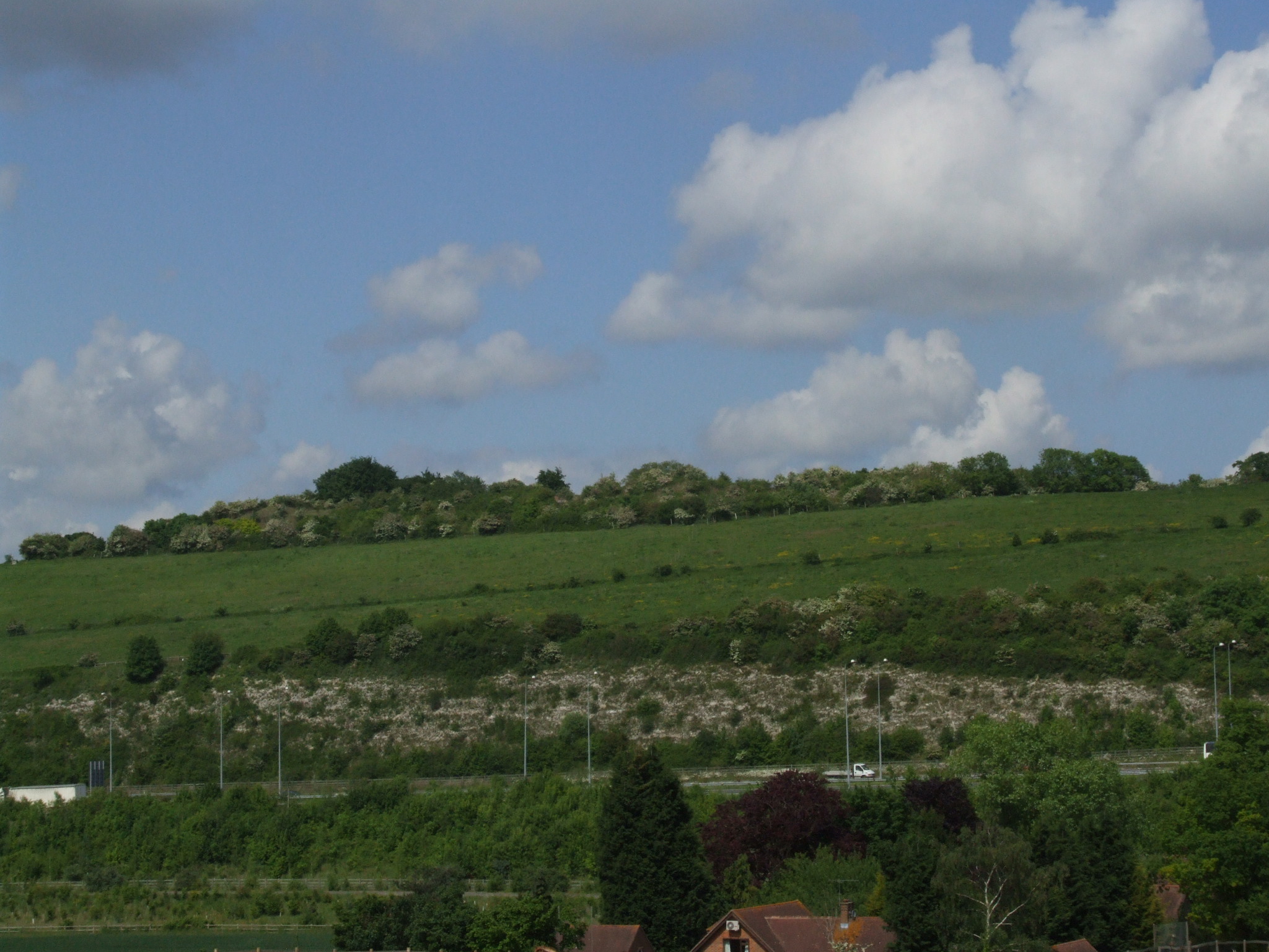
The landscape of Borstal Marsh is predominantly flat, with extensive mudflats and salt marshes that are periodically flooded by the tides. The marshland is covered in lush green vegetation, including tall grasses, reeds, and various types of salt-tolerant plants. These plants play a crucial role in stabilizing the marshland and providing habitat for a wide range of wildlife.

The marshland is home to numerous bird species, making it a popular destination for birdwatchers. Visitors can spot wading birds such as redshanks, avocets, and curlews, as well as various species of ducks and geese. In addition, the marshland provides an important breeding ground for many migratory birds.

Borstal Marsh is also known for its rich biodiversity. The mudflats and salt marshes serve as a habitat for various invertebrates, including crabs, shrimps, and worms. These invertebrates, in turn, attract other species such as fish and seals, creating a thriving ecosystem.

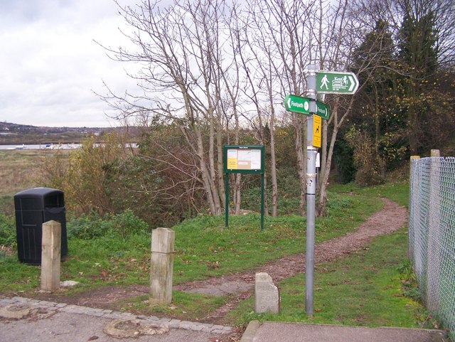
The marshland is accessible to the public through designated footpaths and trails, allowing visitors to explore and appreciate its natural wonders. Borstal Marsh is not only a haven for wildlife but also a place of tranquility and natural beauty, attracting nature enthusiasts and those seeking a peaceful escape from the urban bustle.

If you have any feedback on the listing, please let us know in the comments section below.

Borstal Marsh Images

Images are sourced within 2km of 51.378343/0.48630433 or Grid Reference TQ7367. Thanks to Geograph Open Source API. All images are credited.

The Medway Bridges Three bridges cross the River Medway here. The nearest one carries HS1 and so you will see Javelins and Eurostars on it. The next one carries the westbound carriageway of the M2 while the furthest one carries the coastbound carriageway of the M2 as well as a footpath taking the North Downs Way over the river. This footpath passes underneath heading towards Rochester.
The Medway Bridges
Three bridges cross the River Medway here. The nearest one carries HS1 and so you will see Javelins and Eurostars on it. The next one carries the westbound carriageway of the M2 while the furthest one carries the coastbound carriageway of the M2 as well as a footpath taking the North Downs Way over the river. This footpath passes underneath heading towards Rochester.
The Medway Bridges Three bridges cross the River Medway here. The nearest one carries HS1 and so you will see Javelins and Eurostars on it. The next one carries the westbound carriageway of the M2 while the furthest one carries the coastbound carriageway of the M2 as well as a footpath taking the North Downs Way over the river. This view is from a footpath which passes underneath heading towards Rochester.
The Medway Bridges
Three bridges cross the River Medway here. The nearest one carries HS1 and so you will see Javelins and Eurostars on it. The next one carries the westbound carriageway of the M2 while the furthest one carries the coastbound carriageway of the M2 as well as a footpath taking the North Downs Way over the river. This view is from a footpath which passes underneath heading towards Rochester.
The Medway Bridges Three bridges cross the River Medway here. The one on the left carries HS1 and so you will see Javelins and Eurostars on it. The one in the middle carries the westbound carriageway of the M2 while the one on the right carries the coastbound carriageway of the M2 as well as a footpath taking the North Downs Way over the river. This view is from a footpath which passes underneath.
The Medway Bridges
Three bridges cross the River Medway here. The one on the left carries HS1 and so you will see Javelins and Eurostars on it. The one in the middle carries the westbound carriageway of the M2 while the one on the right carries the coastbound carriageway of the M2 as well as a footpath taking the North Downs Way over the river. This view is from a footpath which passes underneath.
Looking towards the Medway Bridges There are actually three bridges - see <a title="https://www.geograph.org.uk/photo/6933894" href="https://www.geograph.org.uk/photo/6933894">Link</a>  Cuxton is on the other side of the River Medway. A footpath follows the top of the flood bank here.
Looking towards the Medway Bridges
There are actually three bridges - see Link Cuxton is on the other side of the River Medway. A footpath follows the top of the flood bank here.
Looking towards the Medway Bridges There are actually three bridges across the River Medway - see <a title="https://www.geograph.org.uk/photo/6933894" href="https://www.geograph.org.uk/photo/6933894">Link</a>  Rochester Castle and Cathedral can just be made out through the central arch. A footpath follows the top of the flood bank here.
Looking towards the Medway Bridges
There are actually three bridges across the River Medway - see Link Rochester Castle and Cathedral can just be made out through the central arch. A footpath follows the top of the flood bank here.
Rochester Cathedral Rochester Cathedral viewed from the adjacent castle.
Rochester Cathedral
Rochester Cathedral viewed from the adjacent castle.
Rochester Cathedral Rochester Cathedral framed through one of the arched apertures in the walls of Rochester Castle.
Rochester Cathedral
Rochester Cathedral framed through one of the arched apertures in the walls of Rochester Castle.
Rochester Castle and Cathedral The Keep of Rochester Castle on the right is the tallest surviving keep of its period in England.  It is 125ft tall and was built in 1127 by William de Corbiel, Archbishop of Canterbury under King Henry I.  Viewed here from the castle's bailey, Rochester Cathedral can be seen in the background.  The tower on the right is one of two built in the time of Edward III.
Rochester Castle and Cathedral
The Keep of Rochester Castle on the right is the tallest surviving keep of its period in England. It is 125ft tall and was built in 1127 by William de Corbiel, Archbishop of Canterbury under King Henry I. Viewed here from the castle's bailey, Rochester Cathedral can be seen in the background. The tower on the right is one of two built in the time of Edward III.
The spire of Rochester Cathedral
West front, Rochester Cathedral The evening sun lighting the architectural detail of the west front of Rochester Cathedral.
West front, Rochester Cathedral
The evening sun lighting the architectural detail of the west front of Rochester Cathedral.
Tympanum and arch, Rochester Cathedral The tympanum and Norman arch above the west door of Rochester Cathedral.
Tympanum and arch, Rochester Cathedral
The tympanum and Norman arch above the west door of Rochester Cathedral.
Churchfields, Rochester View over Churchfields in Rochester with the River Medway below.
Churchfields, Rochester
View over Churchfields in Rochester with the River Medway below.
St Margaret of Antioch Church St Margaret of Antioch Church viewed from Churchfields.  The Grade is Grade II* listed.
St Margaret of Antioch Church
St Margaret of Antioch Church viewed from Churchfields. The Grade is Grade II* listed.
St Margaret of Antioch Church St Margaret of Antioch Church viewed from St Margaret's Street.  The church is Grade II* listed.
St Margaret of Antioch Church
St Margaret of Antioch Church viewed from St Margaret's Street. The church is Grade II* listed.
HS1 and the M2 crossing the Medway The HS1 railway and the M2 motorway crossing the River Medway.
HS1 and the M2 crossing the Medway
The HS1 railway and the M2 motorway crossing the River Medway.
The Medway Bridges There are actually three bridges across the River Medway - see <a title="https://www.geograph.org.uk/photo/6933894" href="https://www.geograph.org.uk/photo/6933894">Link</a>  Rochester Castle and Cathedral can just be made out through the central arch. A footpath follows the top of the flood bank here.
The Medway Bridges
There are actually three bridges across the River Medway - see Link Rochester Castle and Cathedral can just be made out through the central arch. A footpath follows the top of the flood bank here.
Show me another place!

Borstal Marsh is located at Grid Ref: TQ7367 (Lat: 51.378343, Lng: 0.48630433)

Unitary Authority: Medway

Police Authority: Kent

What 3 Words

///club.swaps.sung. Near Strood, Kent

Nearby Locations

Temple Marsh Borstal Marsh

Related Wikis

Baty's Marsh

Baty's Marsh is a 10.4-hectare (26-acre) Local Nature Reserve in Rochester in Kent. It is owned and managed by Medway Council.This is one of the few remaining...

Borstal, Rochester

Borstal is a place in the Medway unitary authority of Kent in South East England. Originally a village near Rochester, it has become absorbed by the expansion...

Medway Viaducts

The Medway Viaducts are three bridges or viaducts that cross the River Medway between Cuxton and Borstal in north Kent, England. The two road bridges carry...

Fort Clarence

Fort Clarence is a now defunct fortification that was located in Rochester, Kent, England. == History == The fort was built between 1808 and 1812 to prevent...

Fort Borstal

Fort Borstal was built as an afterthought from the 1859 Royal Commission on the Defence of the United Kingdom, by convict labour. Construction started...

HM Prison Rochester

HM Prison Rochester (formerly known as Borstal Prison) is a male Young Offenders Institution, founded in 1874, and located in the Borstal area of Rochester...
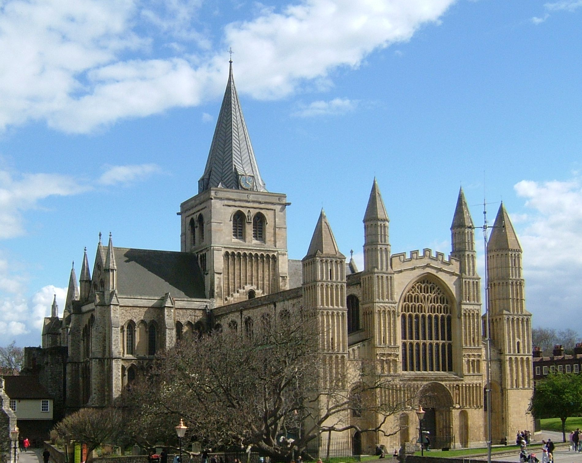
Rochester, Kent

Rochester ( ROTCH-iss-tər) is a town in the unitary authority of Medway, in Kent, England. It is at the lowest bridging point of the River Medway, about...

Rochester (UK Parliament constituency)

Rochester was a parliamentary constituency in Kent. It returned two members of parliament (MPs) to the House of Commons of England from 1295 to 1707, then...

Nearby Amenities

Located within 500m of 51.378343,0.48630433
Source: PGS
Lat/Long: 51.3805532/0.4920161
Source: PGS
Lat/Long: 51.3801734/0.4913327
Source: PGS
Lat/Long: 51.3801702/0.4906273
Created By: dmgroom_coastlines
Source: PGS
Lat/Long: 51.379833/0.489985
Source: PGS
Lat/Long: 51.3788589/0.4888465
Source: PGS
Lat/Long: 51.3788503/0.4883476
Source: PGS
Lat/Long: 51.3787162/0.4877253
Source: PGS
Lat/Long: 51.3782811/0.4869046
Source: PGS
Lat/Long: 51.3777319/0.4854958
Source: PGS
Lat/Long: 51.3767538/0.483128
Source: PGS
Lat/Long: 51.3776064/0.4821514
Source: PGS
Lat/Long: 51.3780112/0.4812832
Source: PGS
Lat/Long: 51.3778769/0.4809423
Source: PGS
Lat/Long: 51.3777092/0.4811137
Source: PGS
Lat/Long: 51.3773912/0.4803267
Source: PGS
Lat/Long: 51.3767641/0.4806362
Source: PGS
Lat/Long: 51.3763497/0.4812161
Post Box
Post Box Type: pillar
Ref: ME1 360
Royal Cypher: EIIR
Royal Cypher Wikidata: Q33102113
Lat/Long: 51.3764696/0.4886922
Post Box
Operator: Royal Mail
Post Box Type: lamp
Ref: ME1 372D
Lat/Long: 51.3753024/0.4839569
Turning Circle
Lat/Long: 51.3765841/0.4900366
Post Box
Postal Code: ME1
Ref: ME1 447
Lat/Long: 51.3799546/0.4913445
Medway Bridge Marina
Leisure: marina
Lat/Long: 51.3767221/0.4821981
Shop: convenience
Lat/Long: 51.3745208/0.4885996
Bus Stop
Sunderland Close
Naptan AtcoCode: 249000000355
Naptan Bearing: N
Naptan CommonName: Sunderland Close
Naptan Indicator: adj
Naptan Landmark: Sunderland Close
Naptan NaptanCode: chagajp
Naptan PlusbusZoneRef: MEDWAY
Naptan Street: Shorts Way
Naptan Verified: no
Source: naptan_import
Lat/Long: 51.376379/0.4886329
Bus Stop
Shelley Rise
Naptan AtcoCode: 249000000356
Naptan Bearing: NE
Naptan CommonName: Shelley Rise
Naptan Indicator: opp
Naptan Landmark: Rowing Club
Naptan NaptanCode: chagajt
Naptan PlusbusZoneRef: MEDWAY
Naptan Street: Esplanade
Naptan Verified: no
Source: naptan_import
Lat/Long: 51.3794439/0.4901783
Bus Stop
Cookham Hill
Bus: yes
Naptan AtcoCode: 249000000374
Naptan Bearing: SW
Naptan CommonName: Cookham Hill
Naptan Indicator: opp
Naptan Landmark: Cookham Hill
Naptan NaptanCode: chagatd
Naptan PlusbusZoneRef: MEDWAY
Naptan Street: Borstal Street
Naptan Verified: no
Public Transport: platform
Source: naptan_import
Lat/Long: 51.3749823/0.4896062
Bus Stop
Cookham Hill
Bus: yes
Naptan AtcoCode: 249000000836
Naptan Bearing: NE
Naptan CommonName: Cookham Hill
Naptan Indicator: adj
Naptan Landmark: Cookham Hill
Naptan NaptanCode: chajgtd
Naptan PlusbusZoneRef: MEDWAY
Naptan Street: Borstal Street
Naptan Verified: no
Public Transport: platform
Source: naptan_import
Lat/Long: 51.3749935/0.4899229
Office: government
Lat/Long: 51.3758077/0.4875331
Grit Bin
Access: yes
Operator: Medway Council
Ref: SB206
Source: survey
Lat/Long: 51.3767966/0.4914021
Grit Bin
Access: yes
Operator: Medway Council
Ref: SB218
Source: survey
Lat/Long: 51.3762073/0.4887843
Grit Bin
Access: yes
Operator: Medway Council
Ref: SB213
Source: survey
Lat/Long: 51.3749265/0.4843345
Generator Method: photovoltaic
Generator Output Electricity: yes
Generator Source: solar
Generator Type: solar_photovoltaic_panel
Location: roof
Power: generator
Lat/Long: 51.3768485/0.4928935
Generator Method: photovoltaic
Generator Output Electricity: yes
Generator Source: solar
Generator Type: solar_photovoltaic_panel
Location: roof
Power: generator
Lat/Long: 51.3767062/0.4927835
Generator Method: photovoltaic
Generator Output Electricity: yes
Generator Source: solar
Generator Type: solar_photovoltaic_panel
Location: roof
Power: generator
Lat/Long: 51.3747155/0.488846
Generator Method: photovoltaic
Generator Output Electricity: yes
Generator Source: solar
Generator Type: solar_photovoltaic_panel
Location: roof
Power: generator
Lat/Long: 51.3745598/0.4892564
Leisure: playground
Lat/Long: 51.3761582/0.4835879
The data included in this document is from www.openstreetmap.org. The data is made available under ODbL.

Have you been to Borstal Marsh?

Leave your review of Borstal Marsh below (or comments, questions and feedback).