Batys Marsh
Coastal Marsh, Saltings in Kent
England
Batys Marsh

Batys Marsh is a coastal marsh and saltings located in Kent, England. It stretches along the southeastern coast, encompassing an area of approximately 200 hectares. The marsh is situated between the towns of Hythe and Dymchurch, and lies within the larger Dungeness, Romney Marsh, and Rye Bay Site of Special Scientific Interest.
The landscape of Batys Marsh is defined by a unique combination of saltmarsh, mudflats, and freshwater habitats. It is characterized by extensive reed beds, salt pans, and shallow brackish channels. The marsh is subject to tidal influence, with water levels fluctuating throughout the day. As a result, the area supports a rich variety of plant and animal species that thrive in this unique environment.
The marsh is home to numerous bird species, making it an important site for birdwatching and ornithological research. Breeding waders such as redshanks, lapwings, and avocets can be spotted, alongside wintering wildfowl including teal, wigeon, and pintail. The reed beds provide shelter for reed warblers and bearded tits, while the mudflats attract feeding wading birds such as dunlins and curlews.
In addition to its ecological significance, Batys Marsh also holds historical importance. The area was historically used for grazing sheep, and evidence of these agricultural practices can still be seen today. The marsh is also home to several historic buildings and structures, including the Grade II listed Batys Farmhouse and the Martello Tower, which was built in the early 19th century as a defense against potential invasion.
Batys Marsh is a haven for nature enthusiasts, offering a unique combination of diverse habitats, abundant wildlife, and historical landmarks. Whether exploring the marsh's ecological wonders or delving into its rich history, visitors are sure to find something of interest in this coastal gem of Kent.
If you have any feedback on the listing, please let us know in the comments section below.
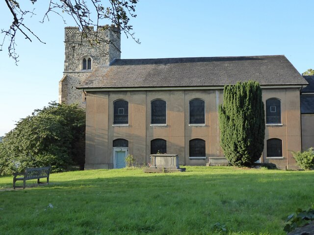
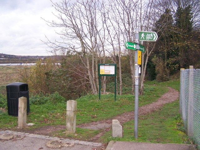
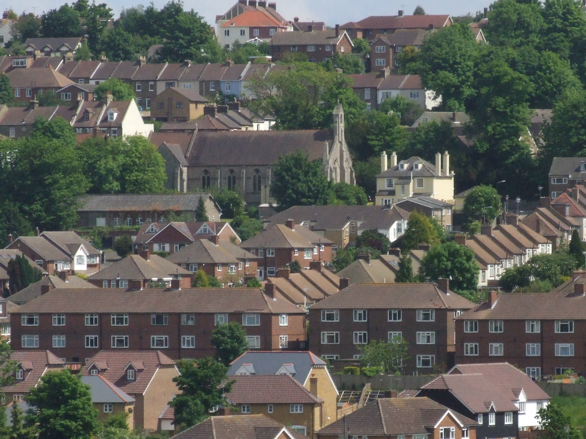
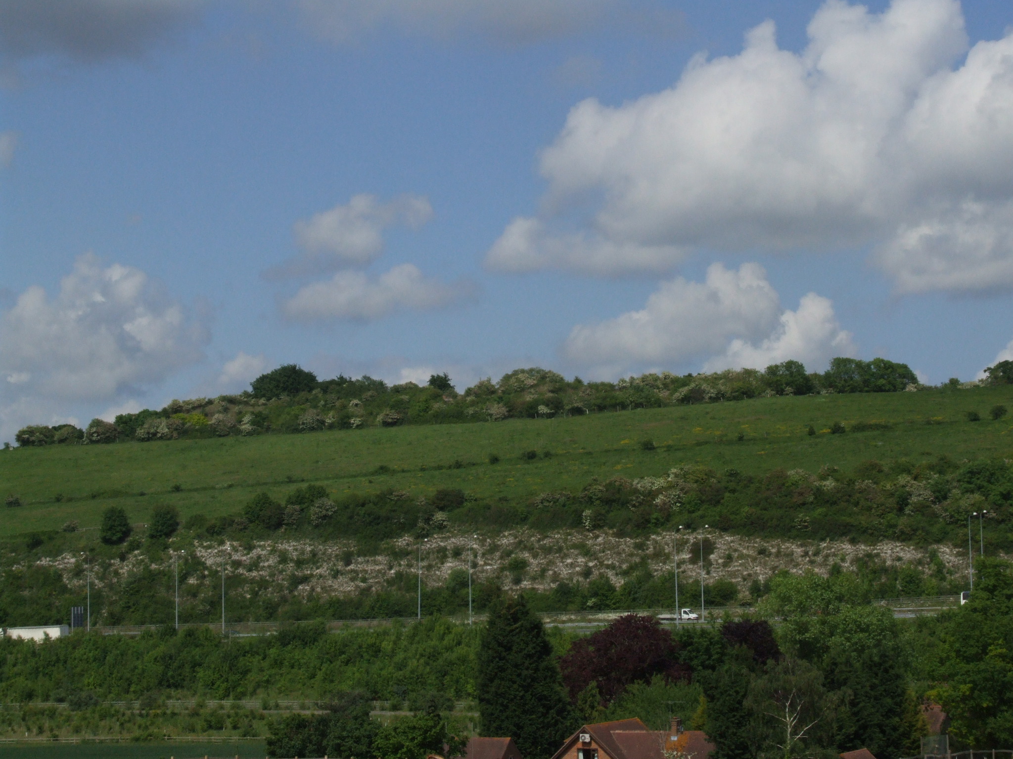
Batys Marsh Images
Images are sourced within 2km of 51.377724/0.48365534 or Grid Reference TQ7267. Thanks to Geograph Open Source API. All images are credited.


Batys Marsh is located at Grid Ref: TQ7267 (Lat: 51.377724, Lng: 0.48365534)
Unitary Authority: Medway
Police Authority: Kent
What 3 Words
///loses.muddy.garage. Near Strood, Kent
Nearby Locations
Related Wikis
Baty's Marsh
Baty's Marsh is a 10.4-hectare (26-acre) Local Nature Reserve in Rochester in Kent. It is owned and managed by Medway Council.This is one of the few remaining...
Borstal, Rochester
Borstal is a place in the Medway unitary authority of Kent in South East England. Originally a village near Rochester, it has become absorbed by the expansion...

Medway Viaducts
The Medway Viaducts are three bridges or viaducts that cross the River Medway between Cuxton and Borstal in north Kent, England. The two road bridges carry...
Fort Borstal
Fort Borstal was built as an afterthought from the 1859 Royal Commission on the Defence of the United Kingdom, by convict labour. Construction started...
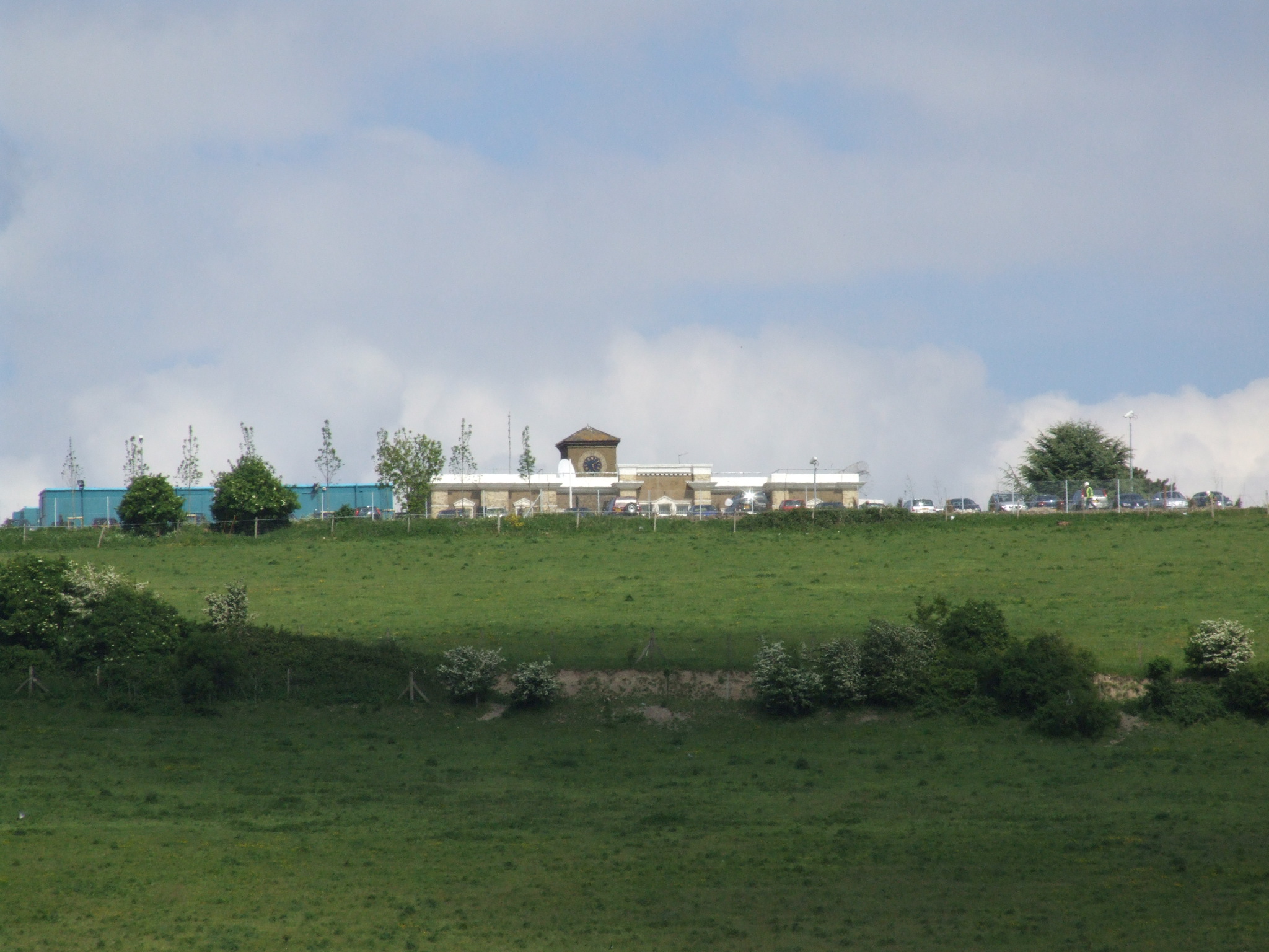
HM Prison Rochester
HM Prison Rochester (formerly known as Borstal Prison) is a male Young Offenders Institution, founded in 1874, and located in the Borstal area of Rochester...
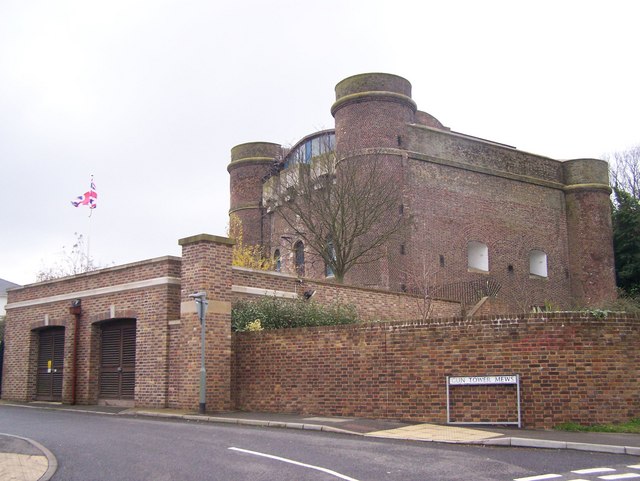
Fort Clarence
Fort Clarence is a now defunct fortification that is located in Rochester, Kent, England. == History == The fort was built between 1808 and 1812 to prevent...
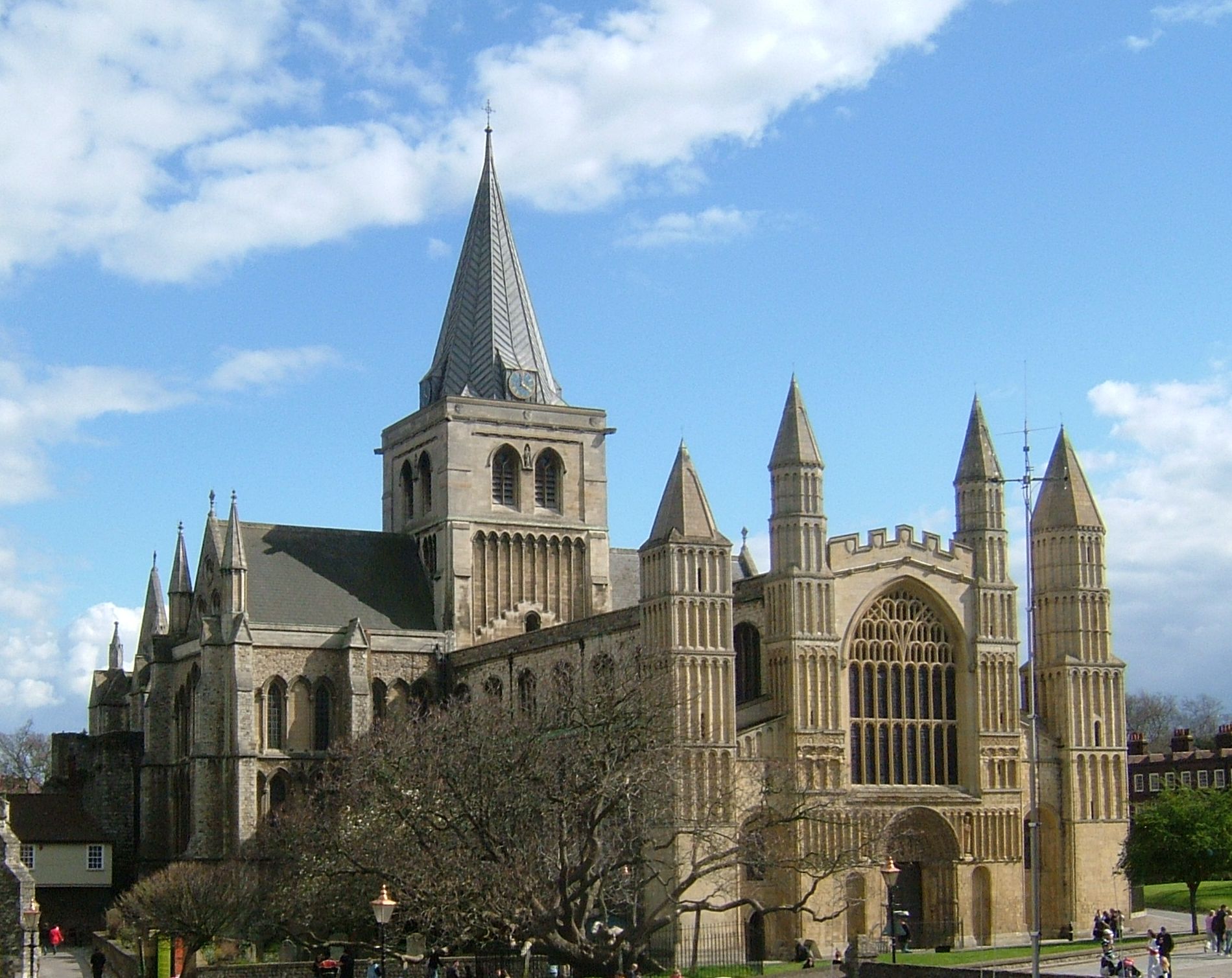
Rochester, Kent
Rochester ( ROTCH-iss-tər) is a town in the unitary authority of Medway, in Kent, England. It is at the lowest bridging point of the River Medway, about...
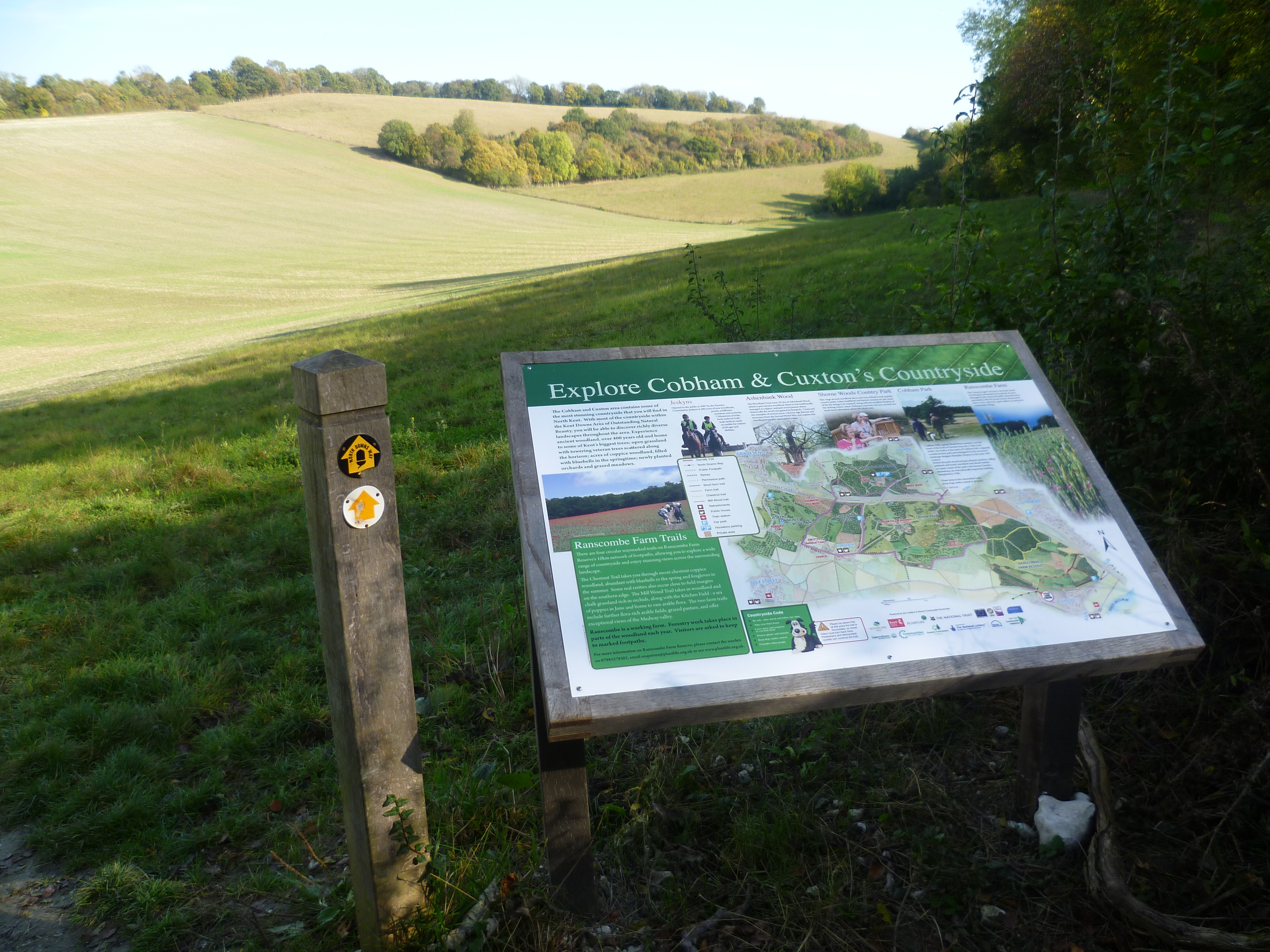
Ranscombe Farm
Ranscombe Farm, in Cuxton in North Kent, is a Plantlife Nature Reserve and working farm. Part of the site is included in the Cobham Woods Site of Special...
Nearby Amenities
Located within 500m of 51.377724,0.48365534Have you been to Batys Marsh?
Leave your review of Batys Marsh below (or comments, questions and feedback).