Gallow Marsh

Coastal Marsh, Saltings in Norfolk King's Lynn and West Norfolk

England

Gallow Marsh

Terrington St Clement Parish Church: mid-September 2022 During a great walking week-end in Norfolk with two friends from my school days (1972 - 1979) there were times when I nipped off in the car to look at churches and other historical features: these are they!
Terrington St Clement Parish Church: mid-September 2022 Credit: Basher Eyre

Gallow Marsh, located in the county of Norfolk, England, is a coastal marshland characterized by its distinctive saltings. Situated along the eastern coast of England, the marsh is an extensive area of low-lying land that stretches for several miles. It is bordered by the North Sea to the east and is nestled between the towns of Wells-next-the-Sea and Holkham.

The marsh is predominantly composed of tidal mudflats, salt marshes, and sand dunes which are constantly shaped by the ebb and flow of the tides. These dynamic coastal features provide a unique and ever-changing landscape. The area is renowned for its diverse ecosystem, supporting a wide variety of flora and fauna.

Gallow Marsh is a haven for numerous bird species, particularly during the migration seasons. It serves as an important breeding ground and feeding site for various waders, waterfowl, and seabirds. The marsh is also home to several rare and protected species, including the bittern and the marsh harrier.

Visitors to Gallow Marsh can enjoy the scenic beauty of this coastal haven. The vast expanse of mudflats and salt marshes offers breathtaking views, especially during high tide when the water creates a mirror-like reflection. The area is a popular destination for birdwatchers, nature enthusiasts, and photographers, who can often be seen capturing the unique wildlife and stunning landscapes.

Gallow Marsh, with its exceptional natural beauty and abundant wildlife, is a significant coastal marshland in Norfolk, attracting visitors from far and wide who seek to explore and appreciate the wonders of this unique ecosystem.

If you have any feedback on the listing, please let us know in the comments section below.
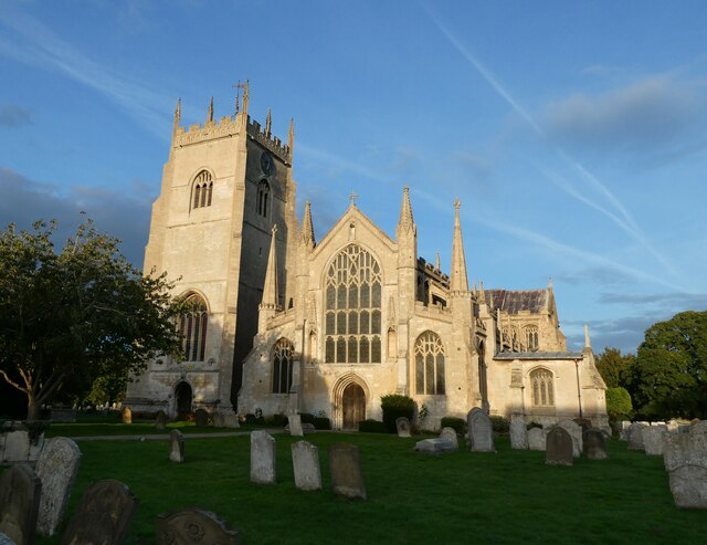
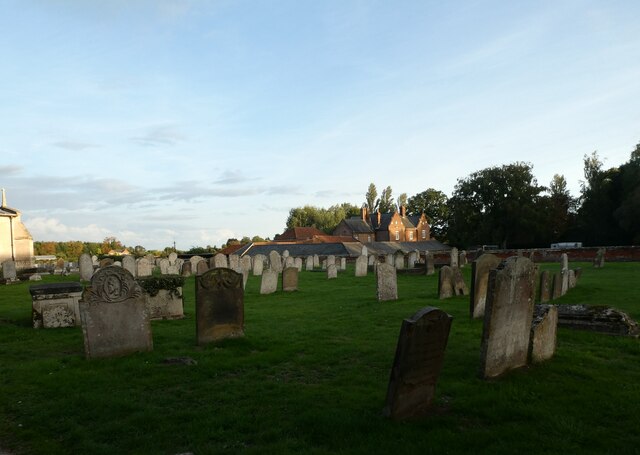
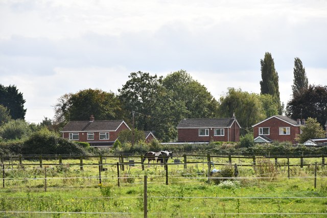
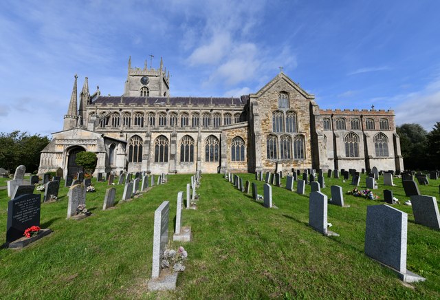
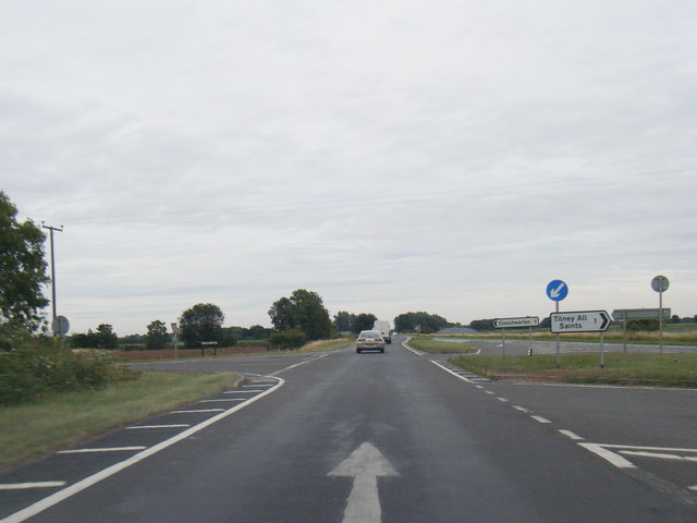
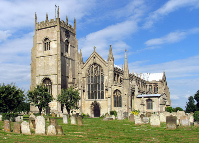
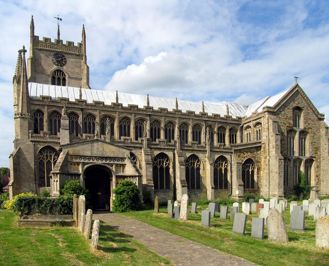
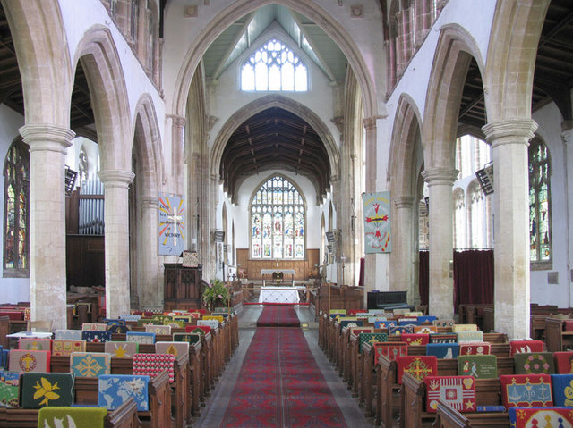
Gallow Marsh Images

Images are sourced within 2km of 52.76461/0.32562006 or Grid Reference TF5721. Thanks to Geograph Open Source API. All images are credited.

Terrington St Clement Parish Church: mid-September 2022 During a great walking week-end in Norfolk with two friends from my school days (1972 - 1979) there were times when I nipped off in the car to look at churches and other historical features: these are they!
Terrington St Clement Parish Church: mid-September 2022
During a great walking week-end in Norfolk with two friends from my school days (1972 - 1979) there were times when I nipped off in the car to look at churches and other historical features: these are they!
The Partridge, Clenchwarton: mid-September 2022 During a great walking week-end in Norfolk with two friends from my school days (1972 - 1979) there were times when I nipped off in the car to look at churches and other historical features: these are they!
The Partridge, Clenchwarton: mid-September 2022
During a great walking week-end in Norfolk with two friends from my school days (1972 - 1979) there were times when I nipped off in the car to look at churches and other historical features: these are they!
Terrington St Clement Churchyard
Old Milestone, Main Road (former A17), Clenchwarton The milestone is located opposite No. 226, against the hedge, on the north side of the road. Parish of Clenchwarton (Kings Lynn and West Norfolk District). Carved stone post, erected by the County Council in the 19th century. An earlier photograph can be found here <a title="https://www.geograph.org.uk/photo/6038329" href="https://www.geograph.org.uk/photo/6038329">Link</a>.

Inscription reads:-
: TO LYNN / 3 MILES : : N.C.C : : TO / SUTTON / 10 MILES : 

Milestone Society National ID: NO_KLSU3
Old Milestone, Main Road (former A17), Clenchwarton
The milestone is located opposite No. 226, against the hedge, on the north side of the road. Parish of Clenchwarton (Kings Lynn and West Norfolk District). Carved stone post, erected by the County Council in the 19th century. An earlier photograph can be found here Link. Inscription reads:- : TO LYNN / 3 MILES : : N.C.C : : TO / SUTTON / 10 MILES : Milestone Society National ID: NO_KLSU3
Terrington St Clement: Fenced off horse grazing areas
Terrington St Clement, St Clement's Church: Southern aspect
A17 at Station Road junction
Station Road heading towards Clenchwarton
Kenwick Hall in Clenchwarton
Bungalows along Station Road In the Norfolk village of Clenchwarton.
Bungalows along Station Road
In the Norfolk village of Clenchwarton.
Going in to Clenchwarton on Station Road
Rape coming into flower near Kenwick Hall
St Clement's Church The Church of St Clement, Terrington St Clement. Known as The Cathedral of the Marshes
St Clement's Church
The Church of St Clement, Terrington St Clement. Known as The Cathedral of the Marshes
Clenchwarton village sign
St Clement, Terrington St Clement, Norfolk
St Clement, Terrington St Clement, Norfolk - East end
St Clement, Terrington St Clement, Norfolk - Window The Good Shepherd
St Clement, Terrington St Clement, Norfolk - Window
The Good Shepherd
Show me another place!

Gallow Marsh is located at Grid Ref: TF5721 (Lat: 52.76461, Lng: 0.32562006)

Administrative County: Norfolk

District: King's Lynn and West Norfolk

Police Authority: Norfolk

What 3 Words

///laces.glassware.discrepancy. Near Terrington St Clement, Norfolk

Related Wikis

St Clement's High School

St Clement's High School is a coeducational secondary school with academy status, located in the village of Terrington St Clement, in the English county...

Clenchwarton railway station

Clenchwarton Railway Station is a former train station in Clenchwarton, Norfolk. It was part of the Midland and Great Northern Joint Railway line from...

Clenchwarton

Clenchwarton is a village, civil parish and electoral ward in the English county of Norfolk. It is located about 1+1⁄4 miles (2 km) west of the River Great...

Terrington St Clement

Terrington St Clement is a village and civil parish in King's Lynn and West Norfolk borough and district in Norfolk, England. It is in the drained marshlands...

Nearby Amenities

Located within 500m of 52.76461,0.32562006
Brick Field
Place: locality
Lat/Long: 52.7645385/0.3216116
Fourth Spellow Field
Place: locality
Lat/Long: 52.762546/0.3227456
Rhoon Marsh
Place: locality
Lat/Long: 52.7672523/0.3225154
Gallow Marsh
Place: locality
Lat/Long: 52.7662867/0.3299277
The data included in this document is from www.openstreetmap.org. The data is made available under ODbL.

Have you been to Gallow Marsh?

Leave your review of Gallow Marsh below (or comments, questions and feedback).