New Inclosed Marsh
Coastal Marsh, Saltings in Norfolk South Holland
England
New Inclosed Marsh

New Inclosed Marsh, Norfolk is a coastal marsh located in the eastern part of England, specifically in Norfolk County. It is known for its unique geographical features, being a part of the Norfolk Coast Area of Outstanding Natural Beauty. The marsh is situated between the North Sea and the surrounding farmland, creating a diverse ecosystem that supports a wide range of flora and fauna.
The marsh is characterized by its vast expanse of salt marshes and saltings, which are areas of land that are regularly flooded by the tides. These marshes are formed by the deposition of sediment carried by the sea, creating a fertile habitat for a variety of plant species. Common plants found in the marsh include sea lavender, sea purslane, and samphire.
The area is also home to a diverse range of wildlife, including several species of birds. Migratory birds, such as waders and waterfowl, are attracted to the marsh during the breeding season, making it an important site for birdwatching. Rare bird species, such as the bittern and marsh harrier, can also be spotted in the area.
In addition to its ecological importance, New Inclosed Marsh is also a popular destination for outdoor enthusiasts. The marsh offers opportunities for walking, cycling, and wildlife photography, allowing visitors to immerse themselves in the natural beauty of the coastal landscape. The marsh is easily accessible, with several footpaths and nature trails leading through the area.
Overall, New Inclosed Marsh, Norfolk is a valuable natural asset, offering both ecological and recreational benefits to visitors and locals alike.
If you have any feedback on the listing, please let us know in the comments section below.
New Inclosed Marsh Images
Images are sourced within 2km of 52.766012/0.24017783 or Grid Reference TF5121. Thanks to Geograph Open Source API. All images are credited.


New Inclosed Marsh is located at Grid Ref: TF5121 (Lat: 52.766012, Lng: 0.24017783)
Administrative County: Lincolnshire
District: South Holland
Police Authority: Lincolnshire
What 3 Words
///worms.joins.grants. Near Sutton Bridge, Lincolnshire
Nearby Locations
Related Wikis

Walpole Cross Keys
Walpole Cross Keys is a village and civil parish in the English county of Norfolk. It covers an area of 4.03 km2 (1.56 sq mi) and had a population of 469...
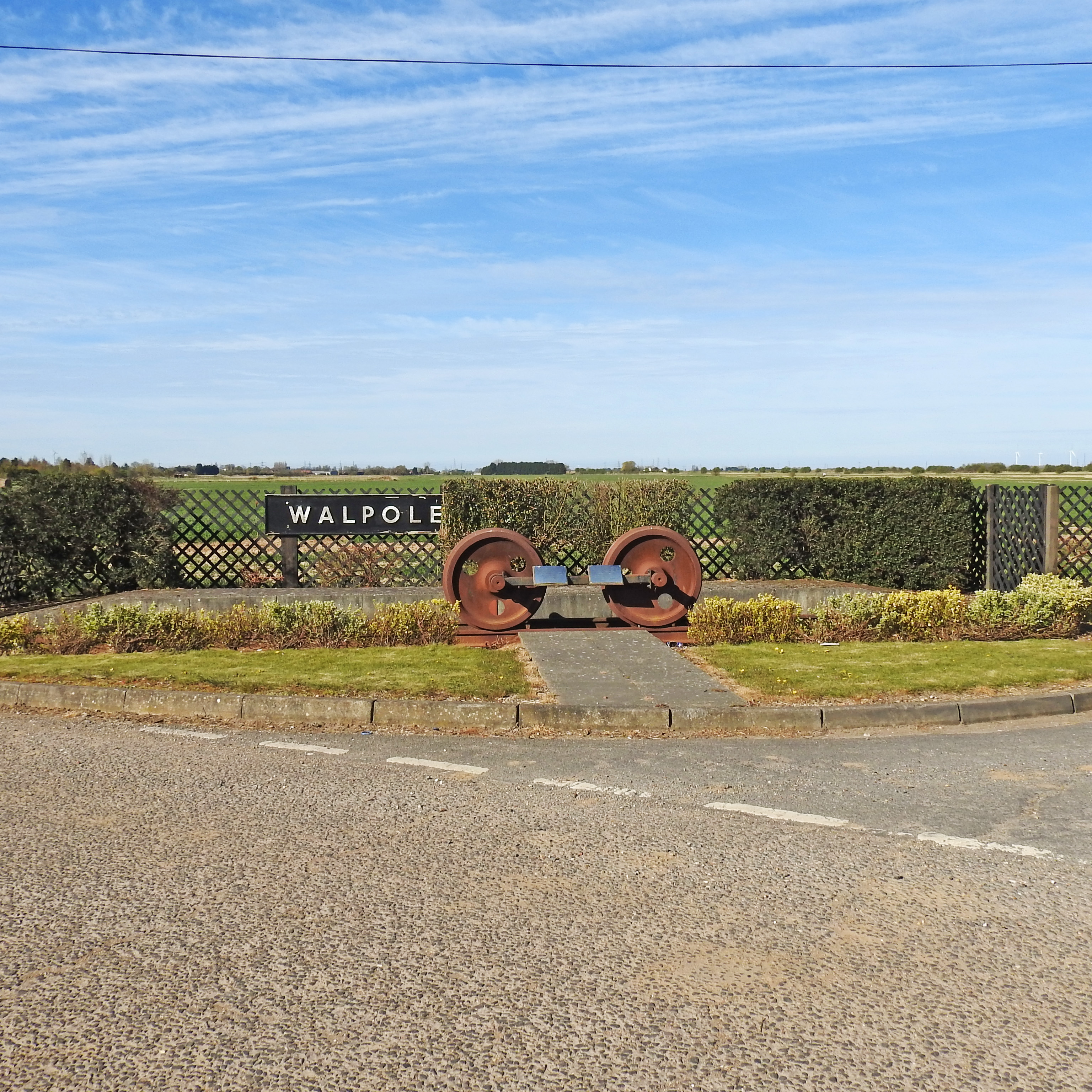
Walpole railway station (England)
Walpole railway station was a station in Norfolk. It is now disused. First opened in 1882, it was part of the Midland and Great Northern Joint Railway...
Bellmount
Bellmount is a village in Norfolk, England.

Cross Keys Bridge
Cross Keys Bridge is a swing bridge that carries the busy single carriageway A17 road which runs from Newark in Nottinghamshire to King's Lynn in Norfolk...
RAF Sutton Bridge
Royal Air Force Sutton Bridge or more simply RAF Sutton Bridge is a former Royal Air Force station found next to the village of Sutton Bridge in the south...

Sutton Bridge railway station
Sutton Bridge railway station was a station in Sutton Bridge, south Lincolnshire, England, which opened in the 19th century. It became part of the Midland...
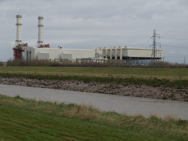
Sutton Bridge Power Station
Sutton Bridge Power Station is an 819 MW gas-fired power station in Sutton Bridge in the south-east of Lincolnshire in South Holland, England. It is situated...

Sutton Bridge
Sutton Bridge is a village and civil parish in the South Holland district of Lincolnshire, England. It is situated on the A17 road, 7 miles (11 km) north...
Nearby Amenities
Located within 500m of 52.766012,0.24017783Have you been to New Inclosed Marsh?
Leave your review of New Inclosed Marsh below (or comments, questions and feedback).