Wingland Marsh
Coastal Marsh, Saltings in Lincolnshire South Holland
England
Wingland Marsh

Wingland Marsh, located in Lincolnshire, England, is a vast coastal marshland characterized by its unique saltings. Covering an area of approximately 5,000 hectares, the marsh is situated near the town of Sutton Bridge and lies adjacent to the River Nene estuary.
The marsh is predominantly flat and low-lying, with its landscape shaped by the constant ebb and flow of the tides. It is surrounded by mudflats and salt marshes, creating a rich and diverse habitat for various plant and animal species. The saltings, in particular, are areas of land that are regularly flooded by seawater, resulting in a high salt content in the soil.
This unique environment provides a home for a wide range of wildlife, including numerous bird species. Wingland Marsh is recognized as an important bird area, attracting large numbers of migratory birds, such as waders, ducks, and geese. It is also a breeding ground for several rare and endangered species, including the avocet and the marsh harrier.
The marshland is of significant ecological importance, not only for its diverse birdlife but also for its role in flood prevention and coastal protection. The extensive salt marshes act as natural barriers, helping to absorb tidal surges and reducing the risk of flooding in nearby areas.
Wingland Marsh is a designated Site of Special Scientific Interest (SSSI), ensuring its protection and preservation for future generations. It is also a popular destination for nature enthusiasts, birdwatchers, and photographers, who come to appreciate its natural beauty and observe its diverse wildlife.
If you have any feedback on the listing, please let us know in the comments section below.
Wingland Marsh Images
Images are sourced within 2km of 52.784558/0.23892088 or Grid Reference TF5123. Thanks to Geograph Open Source API. All images are credited.


Wingland Marsh is located at Grid Ref: TF5123 (Lat: 52.784558, Lng: 0.23892088)
Administrative County: Lincolnshire
District: South Holland
Police Authority: Lincolnshire
What 3 Words
///comic.universes.order. Near Sutton Bridge, Lincolnshire
Nearby Locations
Related Wikis

Walpole Cross Keys
Walpole Cross Keys is a village and civil parish in the English county of Norfolk. It covers an area of 4.03 km2 (1.56 sq mi) and had a population of 469...

Cross Keys Bridge
Cross Keys Bridge is a swing bridge that carries the busy single carriageway A17 road which runs from Newark in Nottinghamshire to King's Lynn in Norfolk...

Sutton Bridge railway station
Sutton Bridge railway station was a station in Sutton Bridge, south Lincolnshire, England, which opened in the 19th century. It became part of the Midland...

Sutton Bridge
Sutton Bridge is a village and civil parish in the South Holland district of Lincolnshire, England. It is situated on the A17 road, 7 miles (11 km) north...
Bellmount
Bellmount is a village in Norfolk, England.
RAF Sutton Bridge
Royal Air Force Sutton Bridge or more simply RAF Sutton Bridge is a former Royal Air Force station found next to the village of Sutton Bridge in the south...
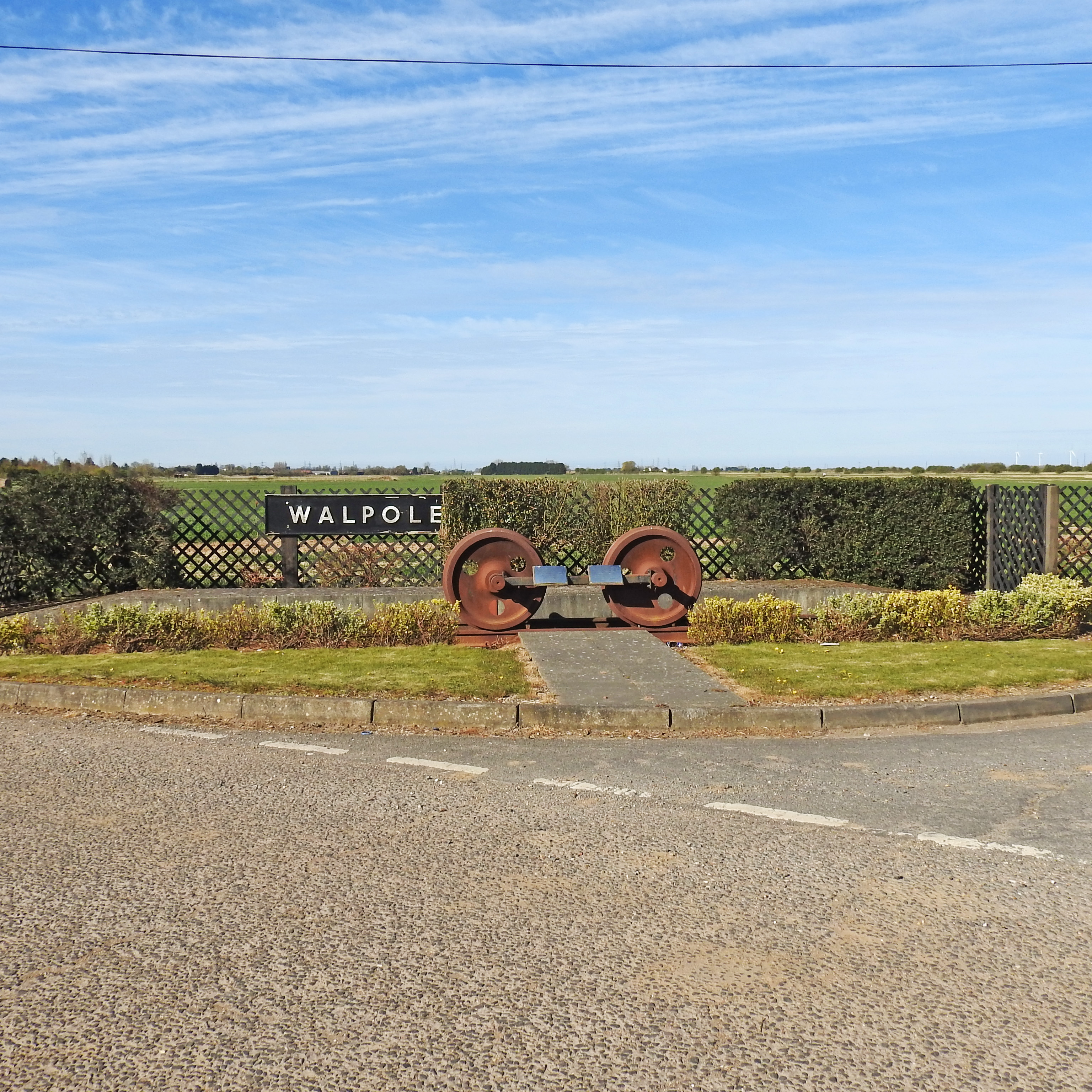
Walpole railway station (England)
Walpole railway station was a station in Norfolk. It is now disused. First opened in 1882, it was part of the Midland and Great Northern Joint Railway...
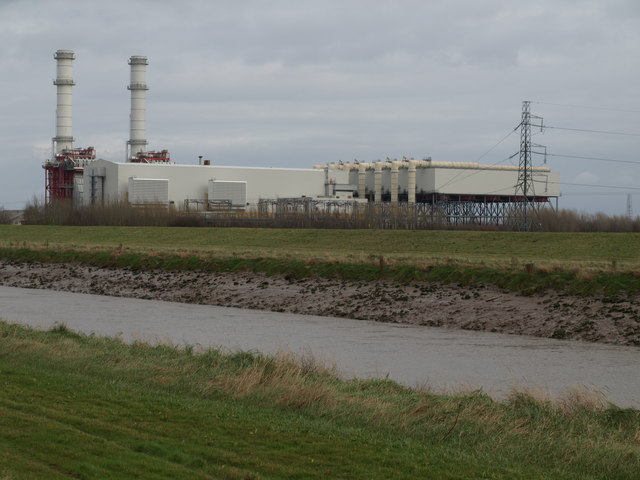
Sutton Bridge Power Station
Sutton Bridge Power Station is an 819 MW gas-fired power station in Sutton Bridge in the south-east of Lincolnshire in South Holland, England. It is situated...
Nearby Amenities
Located within 500m of 52.784558,0.23892088Have you been to Wingland Marsh?
Leave your review of Wingland Marsh below (or comments, questions and feedback).