The Trap
Coastal Marsh, Saltings in Lincolnshire South Holland
England
The Trap

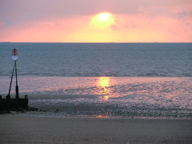
The Trap, located in Lincolnshire, is a picturesque area that encompasses the Coastal Marsh and Saltings. Stretching along the eastern coast of England, it offers a unique and diverse ecosystem. The landscape is characterized by vast expanses of salt marshes, mudflats, and sand dunes.
The Coastal Marsh, also known as coastal salt marsh, is a low-lying wetland that is subjected to tidal flooding. It is dominated by salt-tolerant grasses and other vegetation, creating a habitat for numerous bird species, such as waders, ducks, and geese. These marshes provide an important breeding ground and feeding area for migratory birds.
The Saltings, on the other hand, are areas of land that are periodically flooded by seawater during high tides. This results in a high salt content in the soil, limiting the types of plants that can grow. Nevertheless, it supports a unique community of halophytic plants specially adapted to survive in such conditions. These plants, like glasswort and sea aster, provide food and shelter for various invertebrates and insects.
The Trap is not only a haven for wildlife but also offers stunning views and recreational opportunities for visitors. It is a popular spot for birdwatching, as well as hiking and nature walks along the trails that wind through the marshes. The shifting tides and changing seasons make each visit a unique experience, with an ever-changing array of bird species and other wildlife to observe.
Overall, The Trap, Lincolnshire (Coastal Marsh, Saltings) is a beautiful and ecologically significant area that provides a sanctuary for wildlife and a serene escape for nature enthusiasts.
If you have any feedback on the listing, please let us know in the comments section below.
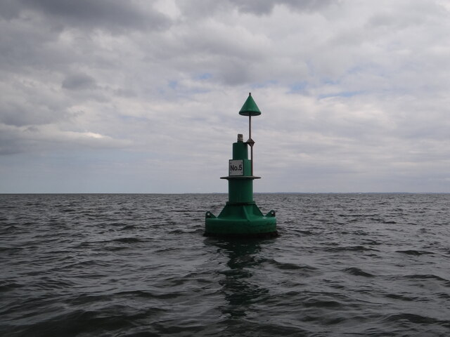
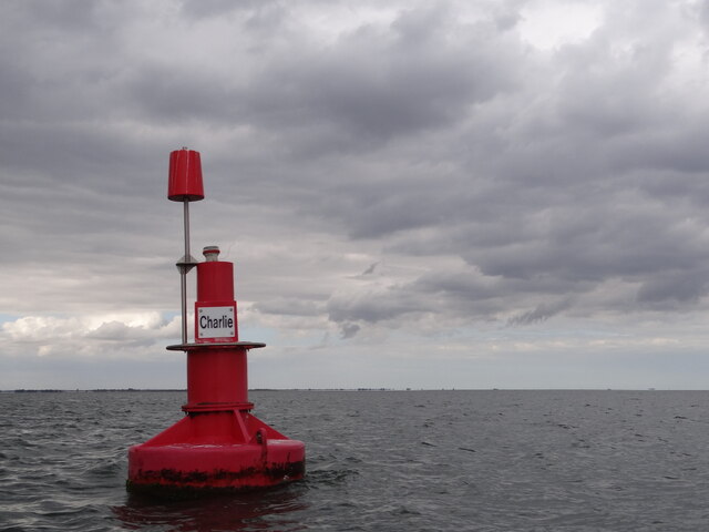
The Trap Images
Images are sourced within 2km of 52.959731/0.21892748 or Grid Reference TF4942. Thanks to Geograph Open Source API. All images are credited.
The Trap is located at Grid Ref: TF4942 (Lat: 52.959731, Lng: 0.21892748)
Administrative County: Lincolnshire
District: South Holland
Police Authority: Lincolnshire
What 3 Words
///mingles.lads.adults. Near Butterwick, Lincolnshire
Nearby Locations
Related Wikis
The Wash
The Wash is a rectangular bay and multiple estuary at the north-west corner of East Anglia on the East coast of England, where Norfolk meets Lincolnshire...
Benington Sea End
Benington Sea End is a hamlet in the Benington civil parish of the Borough of Boston in Lincolnshire, England. It is 5 miles (8 km) east-northeast from...

Freiston Shore
Freiston Shore is a settlement in the Borough of Boston, in Lincolnshire, England. It is in the civil parish of Freiston, and approximately 4 miles (6...
Nearby Amenities
Located within 500m of 52.959731,0.21892748Have you been to The Trap?
Leave your review of The Trap below (or comments, questions and feedback).