Rea, Lower
Settlement in Gloucestershire Gloucester
England
Rea, Lower
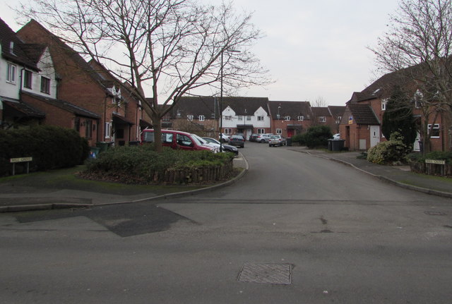
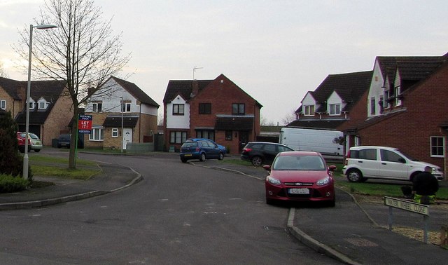
Rea is a small village located in the county of Gloucestershire, England. Situated in the Lower division of the county, it is surrounded by picturesque countryside and offers a tranquil and rural setting for its residents. The village is part of the larger civil parish of Newent, which is known for its rich history and charming character.
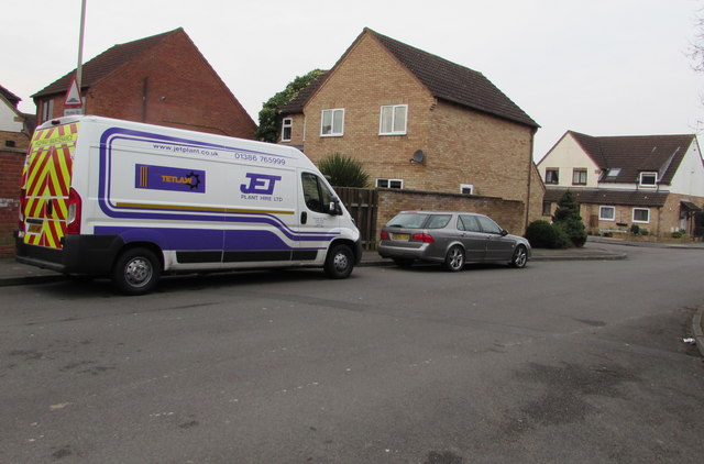
Rea is home to a small population, with a close-knit community atmosphere. The village is primarily residential, with a scattering of traditional stone houses and cottages. The architecture reflects the region's history, showcasing the charm and character of the area.
Although a small village, Rea benefits from its proximity to the market town of Newent, which is just a short distance away. Newent offers a range of amenities including shops, pubs, and restaurants, providing residents with easy access to everyday essentials.
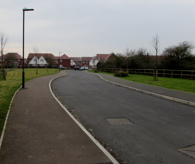
Nature lovers will find Rea particularly appealing, as it is surrounded by stunning countryside and rolling hills. The village is located near several walking and cycling trails, allowing residents to explore the beautiful landscapes that Gloucestershire is renowned for.
Overall, Rea is a peaceful and idyllic village, providing its residents with a scenic and rural lifestyle. Its proximity to nearby amenities and natural beauty make it an attractive place to live for those seeking a slower pace of life in the heart of the English countryside.
If you have any feedback on the listing, please let us know in the comments section below.
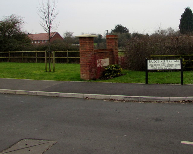
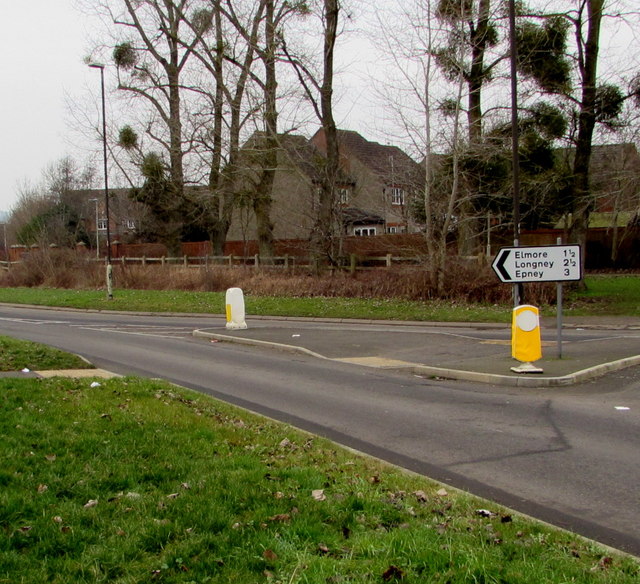
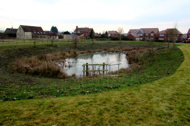
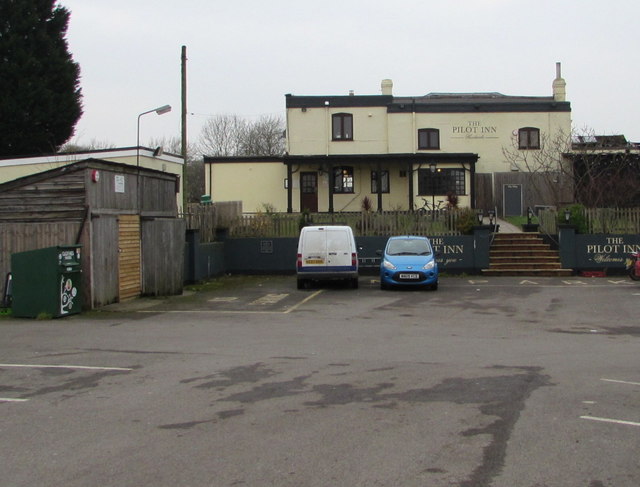
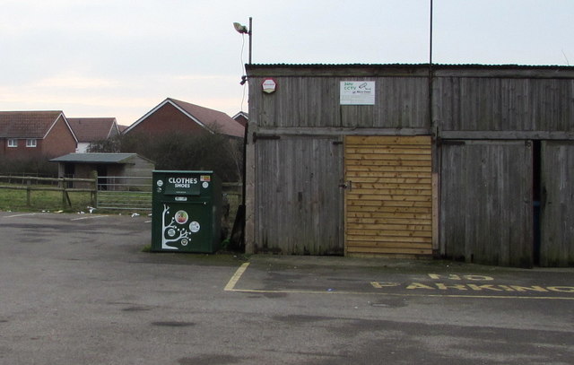
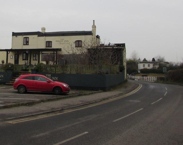
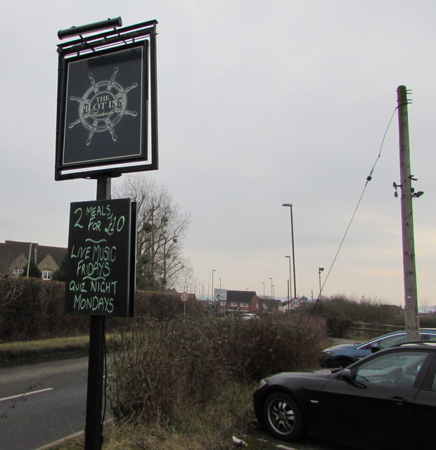
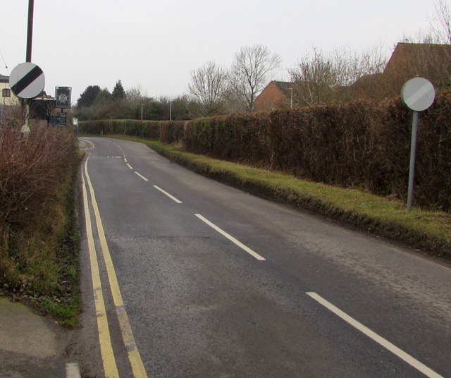
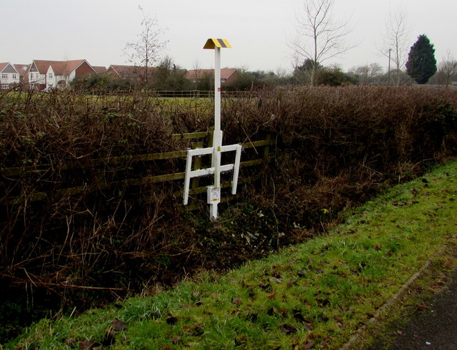
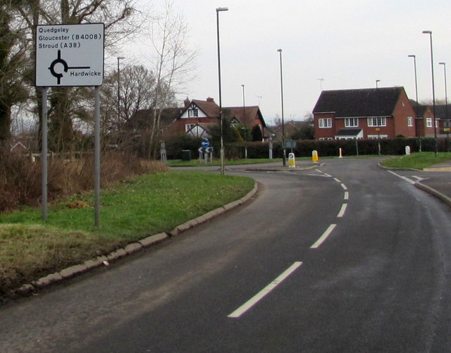
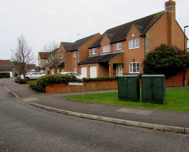
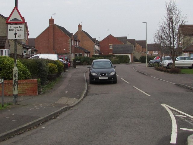
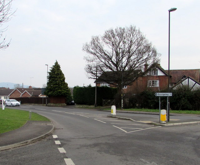
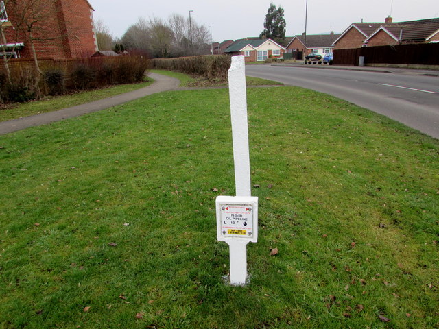
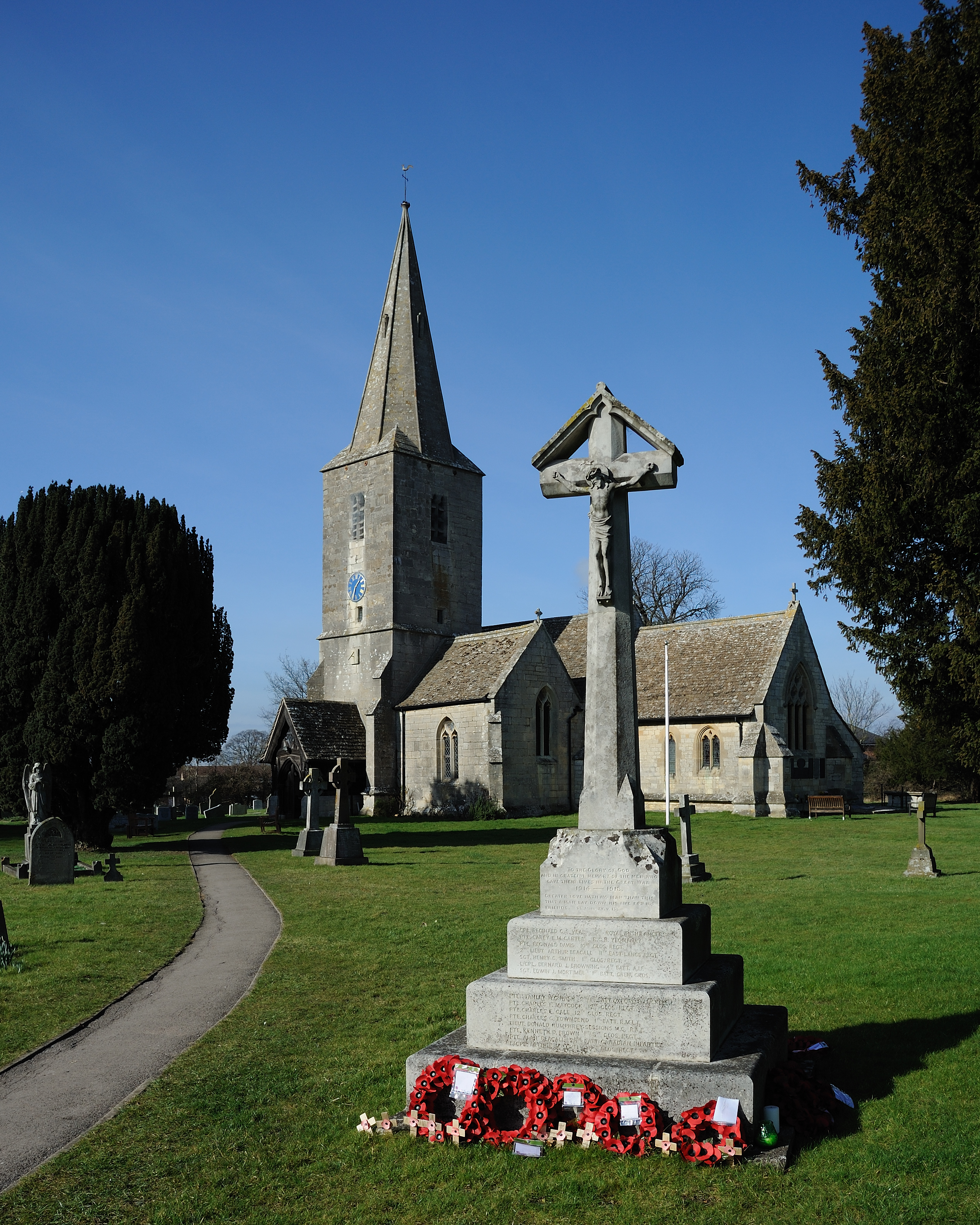
Rea, Lower Images
Images are sourced within 2km of 51.833249/-2.2916493 or Grid Reference SO8015. Thanks to Geograph Open Source API. All images are credited.
Rea, Lower is located at Grid Ref: SO8015 (Lat: 51.833249, Lng: -2.2916493)
Administrative County: Gloucestershire
District: Gloucester
Police Authority: Gloucestershire
What 3 Words
///polite.save.mass. Near Gloucester, Gloucestershire
Nearby Locations
Related Wikis
St James Church, Quedgeley
St James Church is a Church of England church in School Lane, Quedgeley, Gloucester, Gloucestershire, England. It was designated as a Grade II listed building...

Severn Vale School
Severn Vale School is a secondary school with academy status in Quedgeley, Gloucester, England. Its students are aged from 11 to 16. The headmaster is...

The Little Thatch
The Little Thatch (also known as The Thatch Inn) is a 14th-century timber-framed building at 141 Bristol Road, Quedgeley, Gloucester. It is now used as...
Quedgeley
Quedgeley is a town and former civil parish in the city of Gloucester in Gloucestershire, England. A thin strip of land between the Severn and the Gloucester...

Elmore, Gloucestershire
For other places with the same name, see Elmore (disambiguation). Elmore is a village and civil parish, in the Stroud district of Gloucestershire, England...
Kingsway Village
Kingsway Village is an area adjacent to the town of Quedgeley and suburb of Tuffley in Gloucester, in the ceremonial county of Gloucestershire, England...
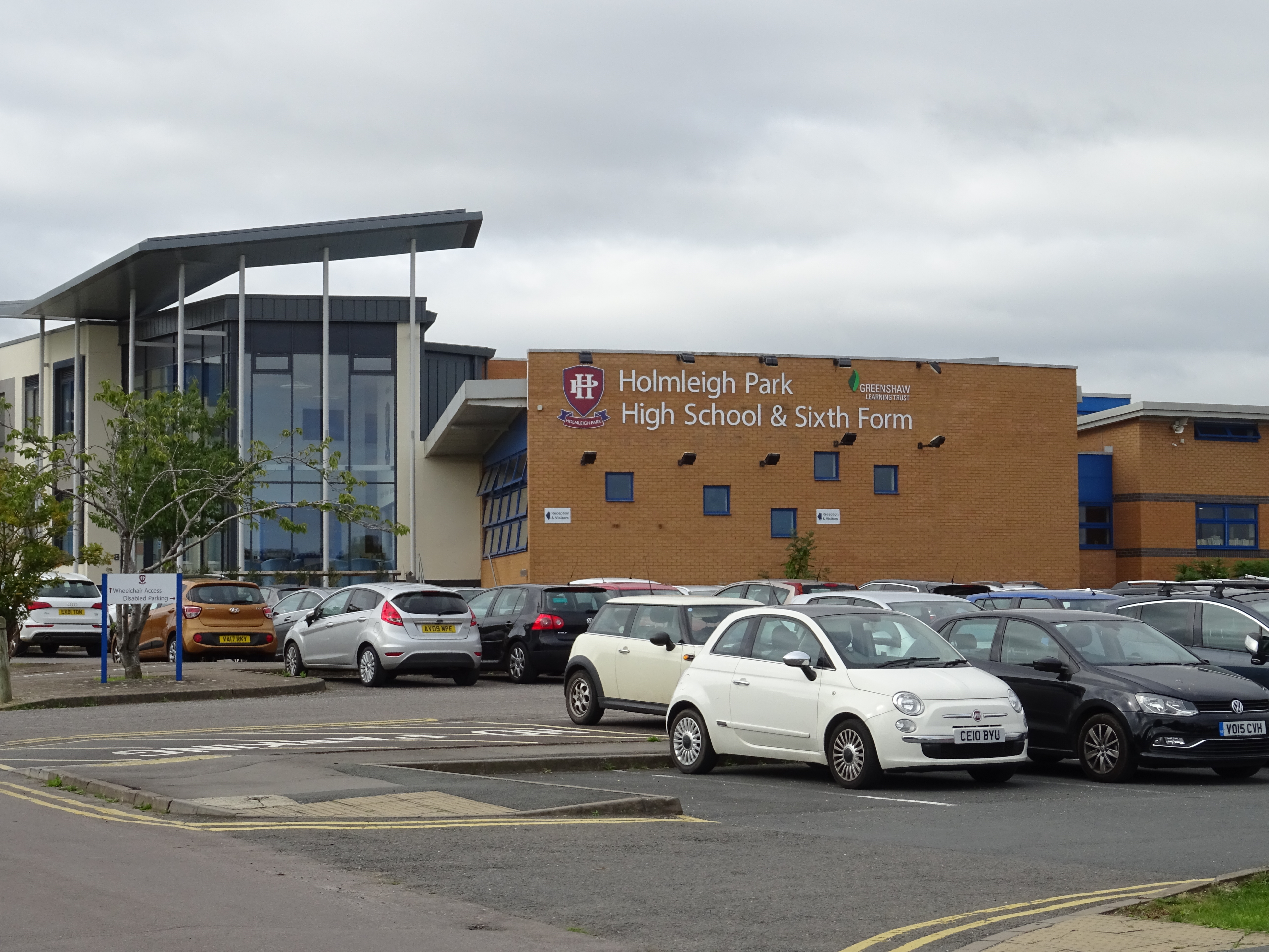
Holmleigh Park High School
Holmleigh Park High School is a co-educational secondary school and sixth form with academy status in Tuffley, Gloucester, Gloucestershire, England. The...

Gloucester Rowing Club
Gloucester Rowing Club and Gloucester Hartpury is a rowing club on the Gloucester-Purton canal based at Gloucester Boathouse, David Hook Way, Hempsted...
Nearby Amenities
Located within 500m of 51.833249,-2.2916493Have you been to Rea, Lower?
Leave your review of Rea, Lower below (or comments, questions and feedback).