Horse Marsh

Coastal Marsh, Saltings in Lincolnshire South Kesteven

England

Horse Marsh

Sewage works, Bainton, Peterborough
Sewage works, Bainton, Peterborough Credit: Rodney Burton

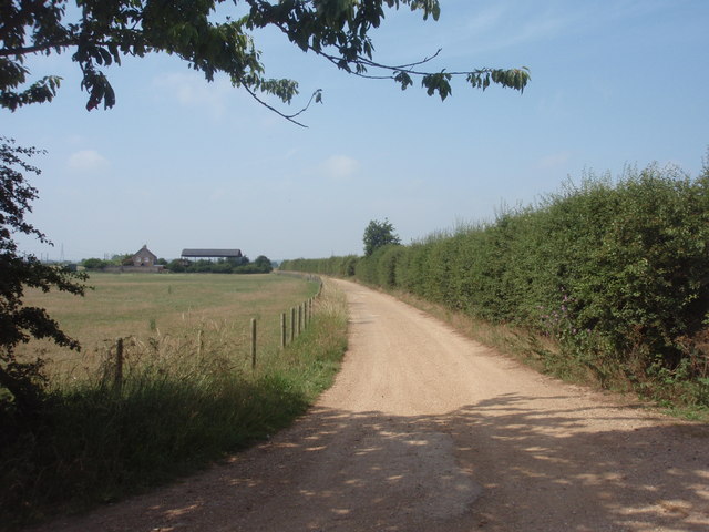
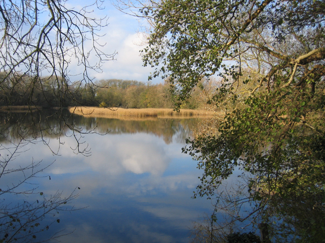
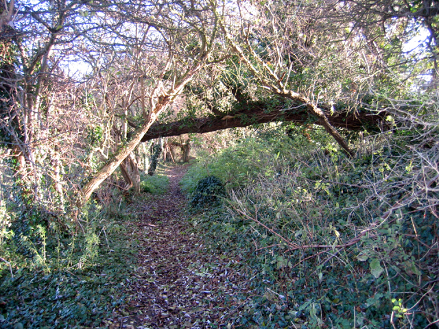
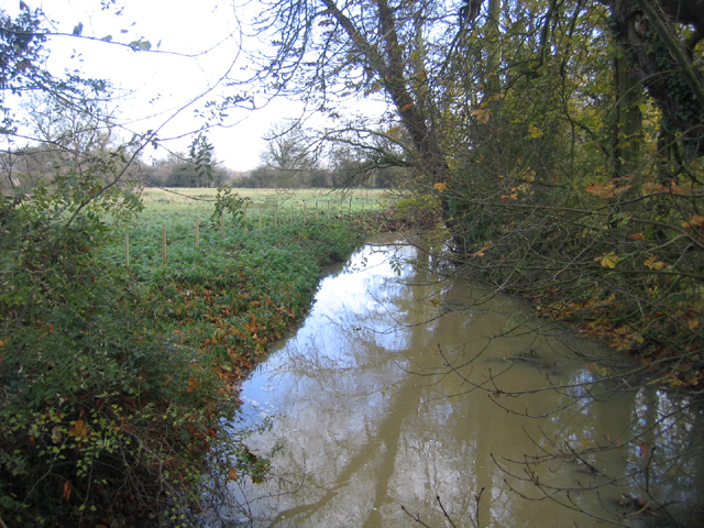
Horse Marsh is a prominent coastal marshland located in the county of Lincolnshire, England. Situated along the eastern coastline, it forms part of the vast stretch of marshes known as the Lincolnshire Marshes. The marshland is characterized by its expansive flat terrain, abundant vegetation, and proximity to the North Sea.

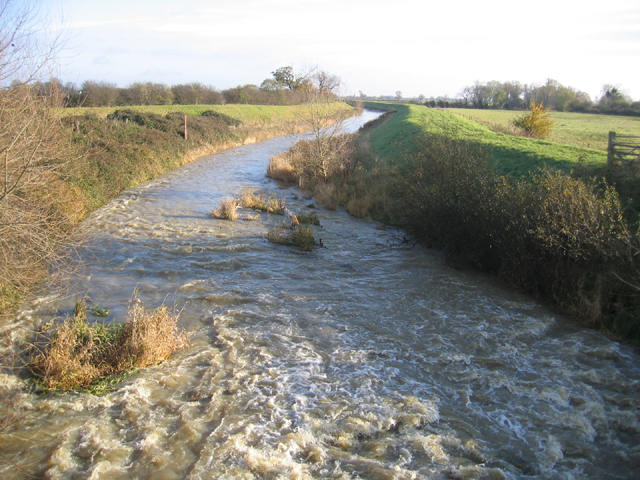
Horse Marsh is primarily made up of salt marshes, also called saltings, which are formed by the deposition of salt-rich sediments carried by tidal waters. This unique ecosystem is home to a diverse array of plants and wildlife that have adapted to the marshy conditions. Common plant species found in the area include sea lavender, sea purslane, and various grasses.

The marshland serves as an important habitat for numerous bird species, making it a popular destination for birdwatchers and nature enthusiasts. Migratory birds such as waders, ducks, and geese can often be spotted here, especially during the winter months.

Horse Marsh also plays a crucial role in coastal protection, acting as a natural buffer against erosion and storm surges. The marshes absorb and dissipate the force of incoming waves, helping to minimize the impact of coastal flooding.

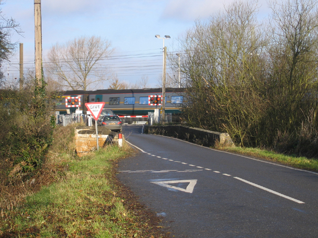
The area is accessible to visitors through designated footpaths and observation points, allowing them to experience the tranquility of the marshes and observe the rich biodiversity. However, it is important to take caution while exploring due to the marshy terrain and changing tides.

If you have any feedback on the listing, please let us know in the comments section below.
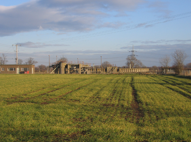
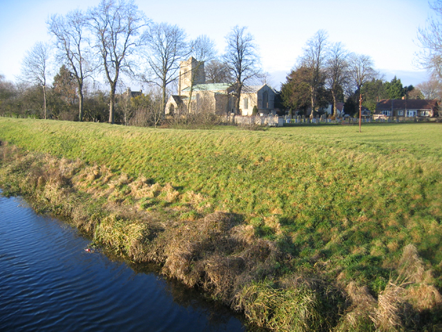
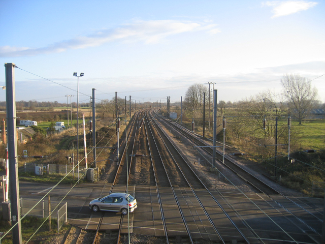
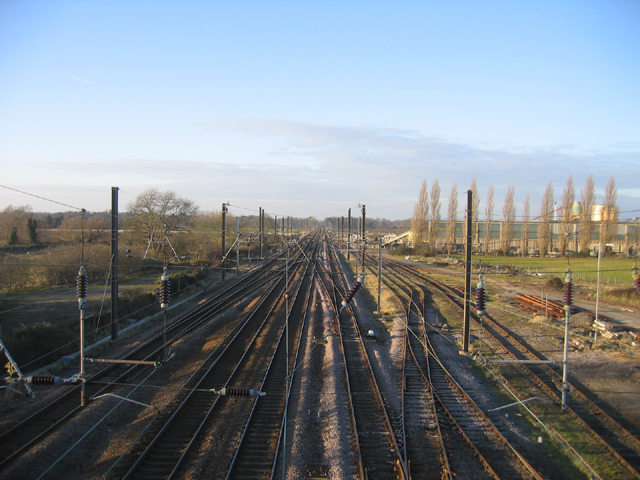
Horse Marsh Images

Images are sourced within 2km of 52.663027/-0.37004597 or Grid Reference TF1008. Thanks to Geograph Open Source API. All images are credited.

Sewage works, Bainton, Peterborough
Tallington parish church, Lincs Dedicated to St Lawrence; the tower is 14th C and the nave arcades and transepts are primarily 13th C <span class="nowrap"><a title="http://www.crsbi.ac.uk/ed/li/talli/" rel="nofollow ugc noopener" href="http://www.crsbi.ac.uk/ed/li/talli/">Link</a><img style="margin-left:2px;" alt="External link" title="External link - shift click to open in new window" src="https://s1.geograph.org.uk/img/external.png" width="10" height="10"/></span> . View NW from the bridge over the Maxey Cut.
Tallington parish church, Lincs
Dedicated to St Lawrence; the tower is 14th C and the nave arcades and transepts are primarily 13th C LinkExternal link . View NW from the bridge over the Maxey Cut.
Tallington railway level crossing, Lincs The A16 road crosses the King's Cross–Edinburgh main line; view SE from the footbridge looking 'up'.
Tallington railway level crossing, Lincs
The A16 road crosses the King's Cross–Edinburgh main line; view SE from the footbridge looking 'up'.
East coast main line, Tallington, Lincs View NW looking 'down'.
East coast main line, Tallington, Lincs
View NW looking 'down'.
Tallington Lakes from a boat A different view of the lakes.
Tallington Lakes from a boat
A different view of the lakes.
Casewick Park and  Eastern Gatehouse
Casewick Park and Eastern Gatehouse
Small Pond off Farm track Gatehouse to Casewick Park in the distance
Small Pond off Farm track
Gatehouse to Casewick Park in the distance
Field of Sunflowers near Tallington This sunflower crop has been grown for cattle feed or bird food
Field of Sunflowers near Tallington
This sunflower crop has been grown for cattle feed or bird food
Tallington Crossing A speeding GNER train travelling south over the Tallington Level Crossing.
Tallington Crossing
A speeding GNER train travelling south over the Tallington Level Crossing.
Tarmac precast concrete works Tallington From the 2:10 NXEC Kings Cross Leeds.
Tarmac precast concrete works Tallington
From the 2:10 NXEC Kings Cross Leeds.
Barholm Road The road from Tallington to Barholm, between Tallington Lakes and tarmac precast concrete works.
Barholm Road
The road from Tallington to Barholm, between Tallington Lakes and tarmac precast concrete works.
Track to Rabbi Cottages The public footpath and access road to the curiously named Rabbi Cottages, near the railway at Tallington.
Track to Rabbi Cottages
The public footpath and access road to the curiously named Rabbi Cottages, near the railway at Tallington.
Lolham Bridges East Coast main line crossing, Peterborough – viewed from King Street Roman Road.
Lolham Bridges East Coast main line crossing, Peterborough
– viewed from King Street Roman Road.
Maxey Cut from Lolham Bridges, Maxey, Peterborough – taking excess flow from the River Welland.
Maxey Cut from Lolham Bridges, Maxey, Peterborough
– taking excess flow from the River Welland.
Lolham Fisheries, Maxey, Peterborough Water-filled gravel pits with developing reed beds bounded by willow and oak.
Lolham Fisheries, Maxey, Peterborough
Water-filled gravel pits with developing reed beds bounded by willow and oak.
Woodland path, Maxey, Peterborough The path extends around Lolham Fisheries to give access to angling pitches.
Woodland path, Maxey, Peterborough
The path extends around Lolham Fisheries to give access to angling pitches.
Distributary of the River Welland – view E near the Lincs–Peterborough border.
Distributary of the River Welland
– view E near the Lincs–Peterborough border.
West Deeping parish church, Lincs – view from King Street Roman Road across the meadows of the River Welland.
West Deeping parish church, Lincs
– view from King Street Roman Road across the meadows of the River Welland.
Show me another place!

Horse Marsh is located at Grid Ref: TF1008 (Lat: 52.663027, Lng: -0.37004597)

Administrative County: Lincolnshire

District: South Kesteven

Police Authority: Lincolnshire

What 3 Words

///glorified.commutes.canny. Near Helpston, Cambridgeshire

Related Wikis

West Deeping

West Deeping is a village and civil parish in the South Kesteven district of Lincolnshire, England. The population of the civil parish at the 2011 census...

Tallington railway station

Tallington railway station was a station in Tallington, Lincolnshire on the Great Northern Railway between Grantham and Peterborough. It was closed in...

Tallington

Tallington is a village and civil parish in the South Kesteven district of Lincolnshire, England. The population of the civil parish at the 2011 census...

Barholm

Barholm is a village in the South Kesteven district of Lincolnshire, England. It is 2 miles (3 km) west from the A15 road, and 6 miles (10 km) south from...

Lolham

Lolham is a hamlet in the City of Peterborough in England, located between Peterborough and Stamford on the border of Cambridgeshire and Lincolnshire....

Uffington Rural District

Uffington was a rural district in Lincolnshire, Parts of Kesteven from 1894 to 1931. It was created in 1894 from that part of the Stamford rural sanitary...

Bainton, Cambridgeshire

Bainton is a village and civil parish in the Peterborough unitary authority area of Cambridgeshire, England. Bainton is on the southern edge of the Welland...

Bainton Gate railway station

Bainton Gate railway station was a short lived railway "station" in the Soke of Peterborough (now in Cambridgeshire) on the Syston and Peterborough Railway...

Nearby Amenities

Located within 500m of 52.663027,-0.37004597
Power: tower
Lat/Long: 52.6608222/-0.3679548
Power: tower
Lat/Long: 52.6630747/-0.367944
Power: tower
Lat/Long: 52.6654588/-0.367982
Barholm Field
Place: locality
Source: Bing
Lat/Long: 52.6664503/-0.3737526
Church Meadow
Place: locality
Source: Bing
Lat/Long: 52.6620799/-0.3634674
Horse Marsh
Place: locality
Source: Bing
Lat/Long: 52.6638203/-0.3693001
Mickle Holmes
Place: locality
Source: Bing
Lat/Long: 52.6608029/-0.3685047
Power: pole
Lat/Long: 52.6660589/-0.3662784
Power: pole
Lat/Long: 52.6655628/-0.3685744
Power: pole
Lat/Long: 52.6651871/-0.3702977
Power: pole
Lat/Long: 52.6648593/-0.3719956
Power: pole
Lat/Long: 52.6644567/-0.3739415
Power: pole
Lat/Long: 52.6640549/-0.375858
Barrier: stile
Lat/Long: 52.6616895/-0.3764662
Barrier: stile
Material: wood
Lat/Long: 52.6629895/-0.3665245
Barrier: stile
Lat/Long: 52.6623305/-0.3691545
The data included in this document is from www.openstreetmap.org. The data is made available under ODbL.

Have you been to Horse Marsh?

Leave your review of Horse Marsh below (or comments, questions and feedback).