Howden Dyke Lee
Coastal Marsh, Saltings in Yorkshire
England
Howden Dyke Lee

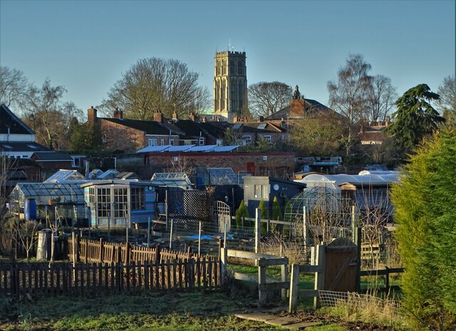
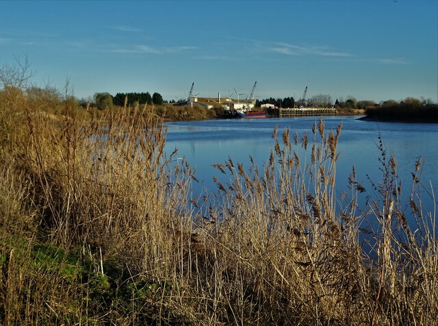
Howden Dyke Lee is a coastal marsh located in the county of Yorkshire, England. It is situated near the village of Howden and lies on the eastern side of the River Ouse. The marsh is known for its extensive saltings, which are areas of land that are regularly flooded by the tides.
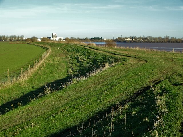
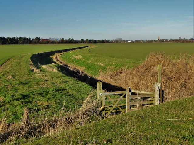
The landscape of Howden Dyke Lee is characterized by wide expanses of salt marshes, mudflats, and reed beds. These habitats are home to a diverse range of wildlife, including various bird species, invertebrates, and plants that are adapted to the brackish conditions. The area is particularly important for migratory birds, which use the marshes as a stopover during their long journeys.
The marsh also serves as a vital natural defense against coastal erosion and flooding. The salt marsh vegetation helps to stabilize the soil and dissipate the energy of waves, protecting the surrounding land from the erosive forces of the sea.
Howden Dyke Lee is popular among nature enthusiasts, birdwatchers, and photographers who visit to observe the rich biodiversity and capture the stunning vistas. The marsh is also used for grazing livestock, which helps to maintain the unique salt-marsh ecosystem.
Overall, Howden Dyke Lee is a significant coastal marsh in Yorkshire, offering a haven for wildlife, playing a crucial role in coastal protection, and providing a picturesque landscape for visitors to enjoy.
If you have any feedback on the listing, please let us know in the comments section below.
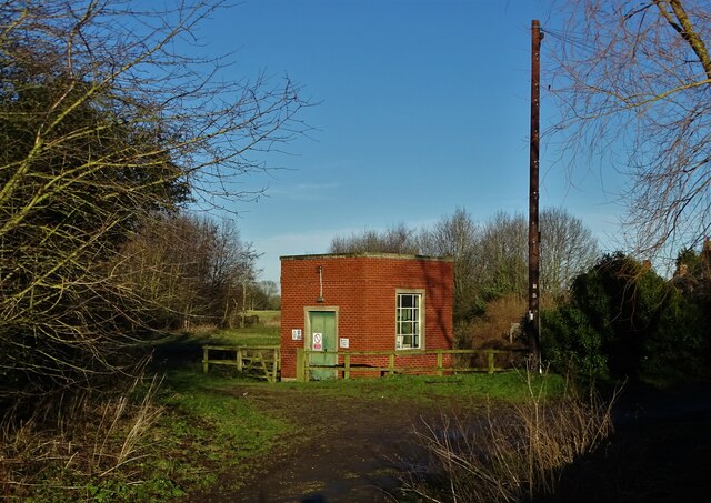
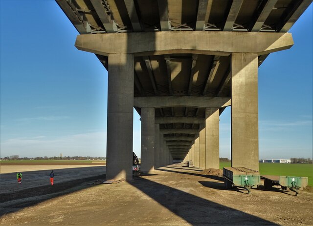
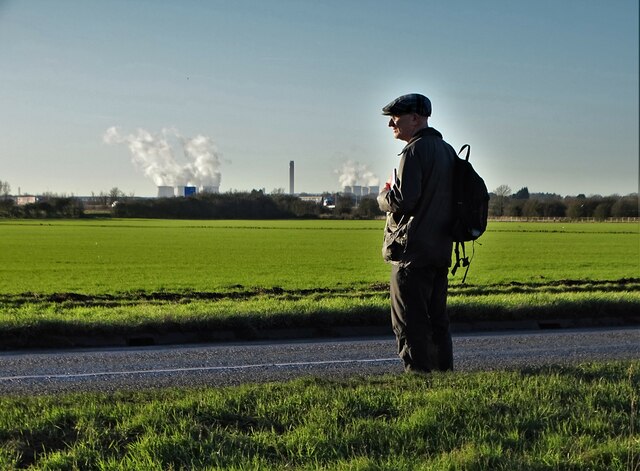
Howden Dyke Lee Images
Images are sourced within 2km of 53.726665/-0.86376538 or Grid Reference SE7526. Thanks to Geograph Open Source API. All images are credited.


Howden Dyke Lee is located at Grid Ref: SE7526 (Lat: 53.726665, Lng: -0.86376538)
Division: East Riding
Unitary Authority: East Riding of Yorkshire
Police Authority: Humberside
What 3 Words
///rafters.straw.showcases. Near Hook, East Yorkshire
Nearby Locations
Related Wikis

Howden Dyke Island
Howden Dyke Island is a 19-acre (7.7 ha) island in the River Ouse, Yorkshire. More accurately a shoal between seasonally varying flows, the area regularly...

Howdendyke
Howdendyke is a hamlet in the East Riding of Yorkshire, England. It is situated approximately 2 miles (3.2 km) north of Goole town centre and about 1 mile...

Ouse Bridge (M62)
The Ouse Bridge is a reinforced concrete plate girder bridge that spans River Ouse between Goole and Howden in the East Riding of Yorkshire, England. It...

Hook, East Riding of Yorkshire
Hook is a village and civil parish in the East Riding of Yorkshire, England. It is situated approximately 1.5 miles (2.4 km) north-east of Goole town centre...
Nearby Amenities
Located within 500m of 53.726665,-0.86376538Have you been to Howden Dyke Lee?
Leave your review of Howden Dyke Lee below (or comments, questions and feedback).