Sandhall Point
Coastal Marsh, Saltings in Yorkshire
England
Sandhall Point
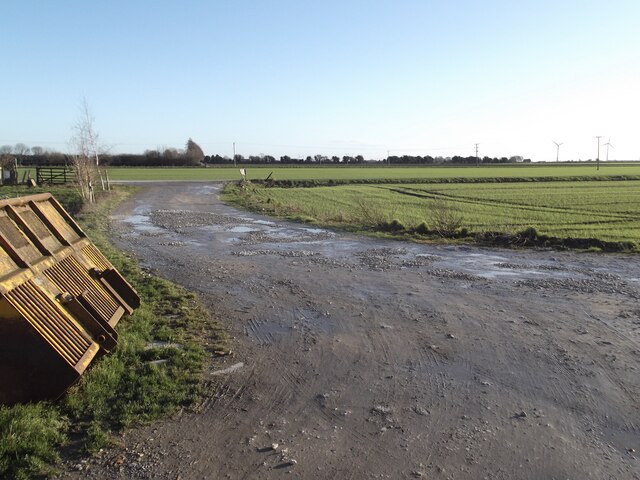
Sandhall Point is a picturesque coastal marsh and saltings located in Yorkshire, England. Situated along the North Sea coast, it stretches for approximately 2 kilometers and forms part of the larger Humber Estuary. The area is characterized by its unique blend of sandy beaches, mudflats, and salt marshes, making it a haven for various flora and fauna.
The sandy beaches of Sandhall Point offer breathtaking views and opportunities for leisurely walks. The dunes that line the coast provide a natural barrier against erosion and offer protection to the delicate ecosystems within. The mudflats, exposed during low tide, are a feeding ground for numerous bird species, including sandpipers, oystercatchers, and curlews.
The salt marshes of Sandhall Point are a crucial habitat for many plant and animal species. These marshes are flooded by the tides, allowing for the growth of salt-tolerant plants such as sea lavender, sea purslane, and saltmarsh grass. The dense vegetation provides shelter and nesting sites for various bird species, including marsh harriers and reed buntings.
The area is also home to a rich diversity of wildlife. It serves as an important breeding ground for seals, and sightings of these charismatic mammals are common along the coast. The marshes attract a variety of insects, butterflies, and dragonflies, which in turn provide food for the resident bird population.
Sandhall Point offers a tranquil and scenic experience for nature enthusiasts and beachgoers alike. Its unique combination of sandy beaches, mudflats, and salt marshes supports a wide array of plant and animal life, making it a truly remarkable coastal destination.
If you have any feedback on the listing, please let us know in the comments section below.
Sandhall Point Images
Images are sourced within 2km of 53.69911/-0.86411375 or Grid Reference SE7523. Thanks to Geograph Open Source API. All images are credited.

Sandhall Point is located at Grid Ref: SE7523 (Lat: 53.69911, Lng: -0.86411375)
Division: East Riding
Unitary Authority: East Riding of Yorkshire
Police Authority: Humberside
What 3 Words
///comment.height.garden. Near Goole, East Yorkshire
Nearby Locations
Related Wikis

River Don, Yorkshire
The River Don (also called River Dun in some stretches) is a river in South Yorkshire and the East Riding of Yorkshire, England. It rises in the Pennines...

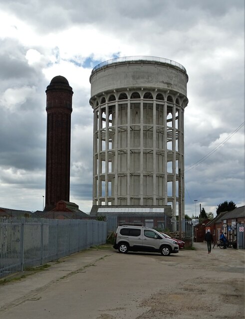
Goole
Goole is a port town and civil parish on the River Ouse in the East Riding of Yorkshire, England. The town's historic county is the West Riding of Yorkshire...

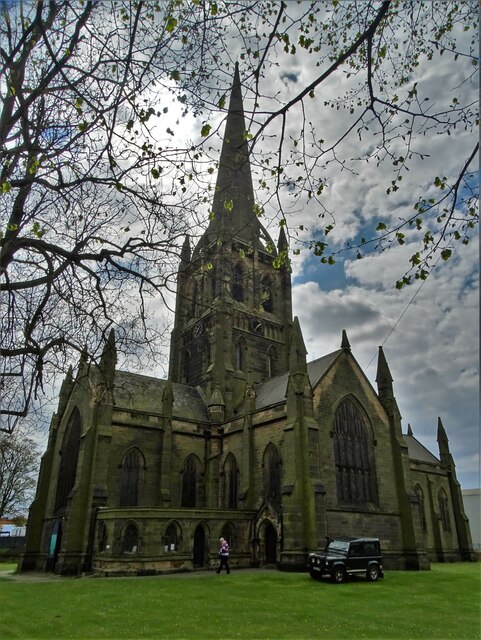
St John's Church, Goole
St John's the Evangelist Church known by the congregation as St John's Goole is an active parish church in the town of Goole, East Riding of Yorkshire...

Port of Goole
The Port of Goole (also known as Goole Docks and The Port in Green Fields), is a maritime port at the mouth of the Aire and Calder Navigation where it...
Nearby Amenities
Located within 500m of 53.69911,-0.86411375Have you been to Sandhall Point?
Leave your review of Sandhall Point below (or comments, questions and feedback).