Sword Sands
Coastal Marsh, Saltings in Hampshire Havant
England
Sword Sands
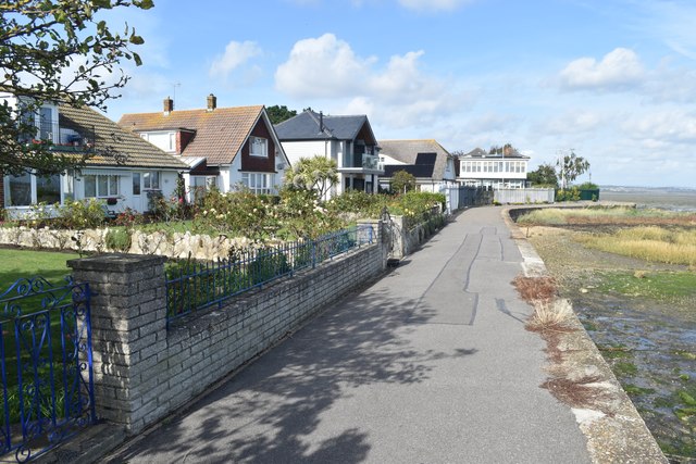
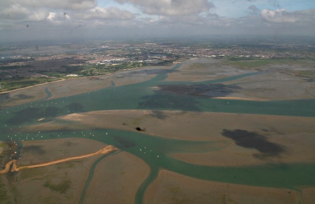
Sword Sands is a coastal marsh located in Hampshire, England. Situated along the southern coast, it forms part of a larger area known as the Hampshire and Isle of Wight Coastal Marshes. This particular section of the coast is commonly referred to as the Sword Sands due to the sandy nature of the terrain.
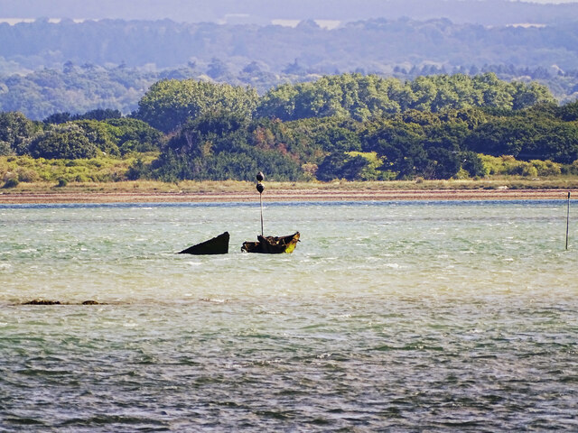
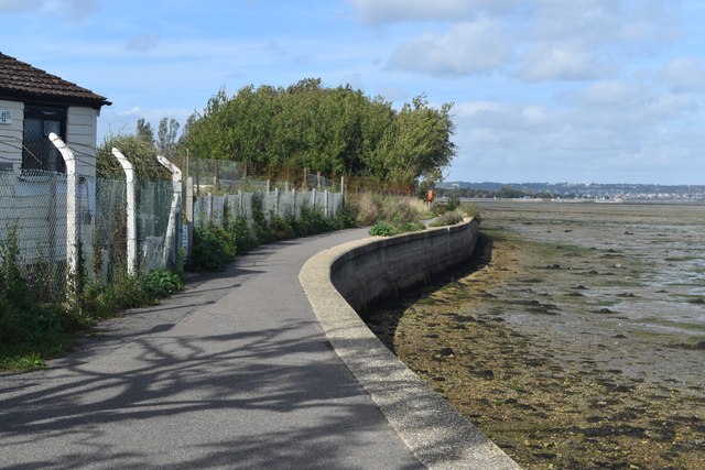
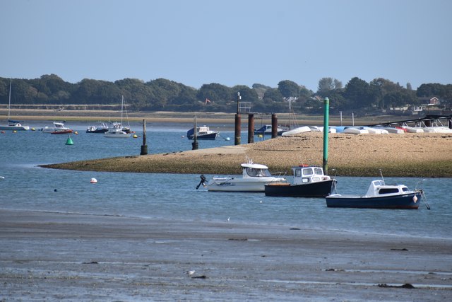
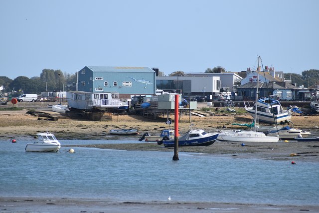
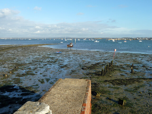
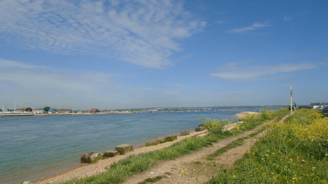
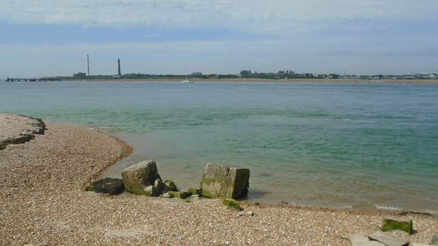
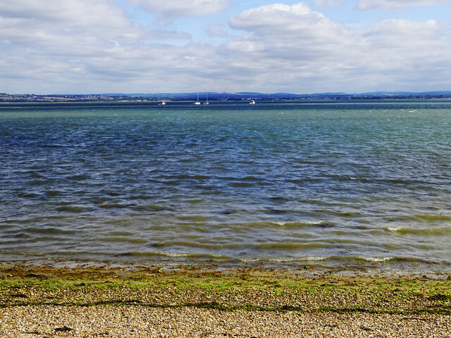
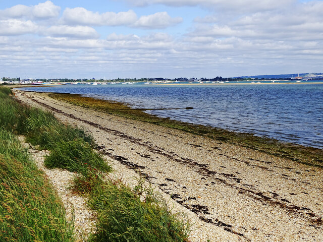
Covering an area of approximately 5 square kilometers, Sword Sands is primarily composed of salt marshes and saltings. These marshlands are rich in nutrients and are flooded by the tides twice a day, creating a unique and diverse ecosystem. The marshes are characterized by their flat and muddy terrain, with numerous channels and creeks cutting through the landscape.
The vegetation in Sword Sands is adapted to the saline conditions, with salt-tolerant species such as samphire, sea lavender, and spartina dominating the area. These plants provide important habitats for a variety of bird species, including wading birds like avocets, black-tailed godwits, and redshanks. The marshes also serve as a breeding ground for many species of insects and small mammals.
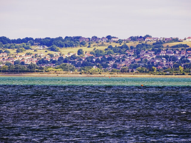
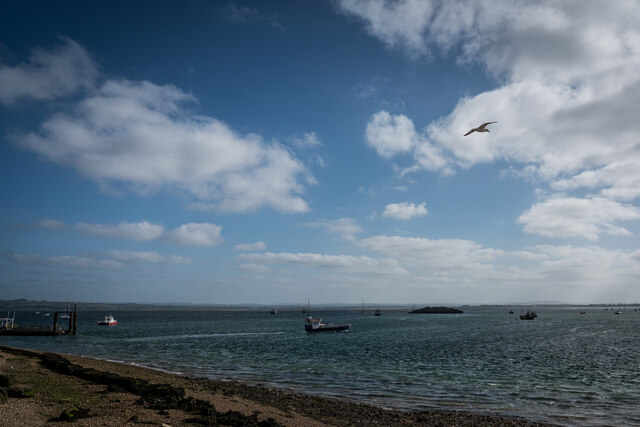
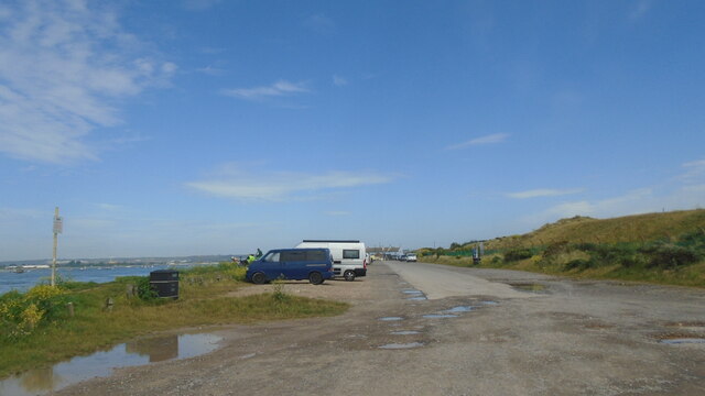
In addition to its ecological significance, Sword Sands is a popular destination for nature enthusiasts, birdwatchers, and photographers. The unspoiled beauty of the marshes, combined with panoramic views of the Solent and the Isle of Wight, make it a picturesque location for outdoor activities and exploration.
Sword Sands is protected as a Site of Special Scientific Interest (SSSI) due to its importance for wildlife conservation and its contribution to the overall biodiversity of the region. Visitors are encouraged to respect the fragile nature of the habitat and adhere to designated paths and trails to minimize disturbance to the wildlife.
If you have any feedback on the listing, please let us know in the comments section below.
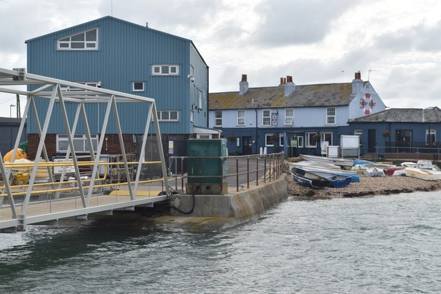
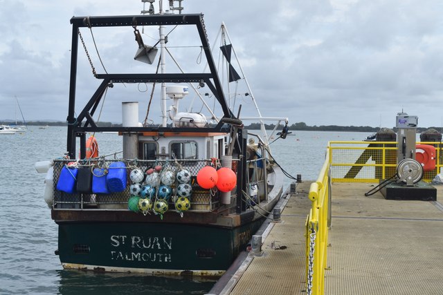
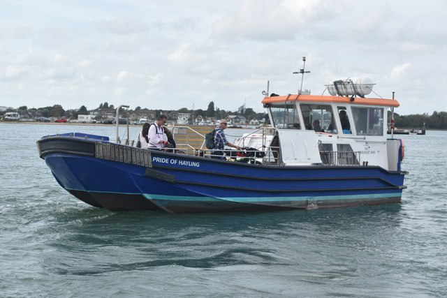
Sword Sands Images
Images are sourced within 2km of 50.809961/-1.0221067 or Grid Reference SU6801. Thanks to Geograph Open Source API. All images are credited.
Sword Sands is located at Grid Ref: SU6801 (Lat: 50.809961, Lng: -1.0221067)
Administrative County: Hampshire
District: Havant
Police Authority: Hampshire
What 3 Words
///rating.shift.papers. Near South Hayling, Hampshire
Nearby Locations
Related Wikis

Staunton Way
The Staunton Way is a 20.5 mile recreational circular walk in Hampshire, southern England, that connects Queen Elizabeth Country Park to Staunton Country...

Langstone Harbour
Langstone Harbour is a 2,085.4-hectare (5,153-acre) biological Site of Special Scientific Interest in Hampshire. It is an inlet of the English Channel...
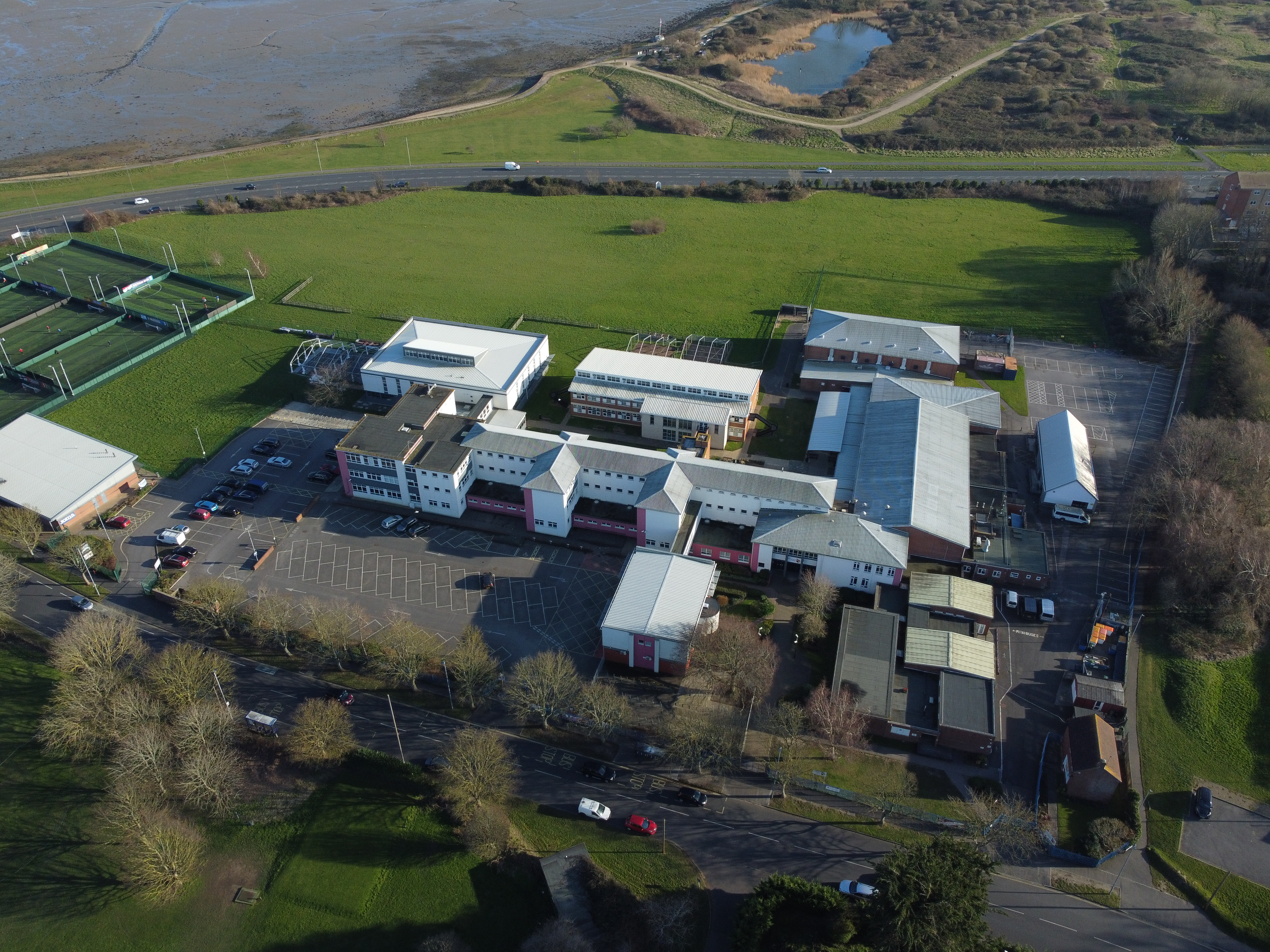
Portsmouth College
Portsmouth College is a sixth form college on Tangier Road, Baffins, in the city of Portsmouth, England. == Admissions == The principal at Portsmouth College...

South Binness Island
South Binness Island is an island in Langstone Harbour. It is 600 metres (660 yd) long and up to 240 metres (260 yd) wide but only rises to 2 metres (7...
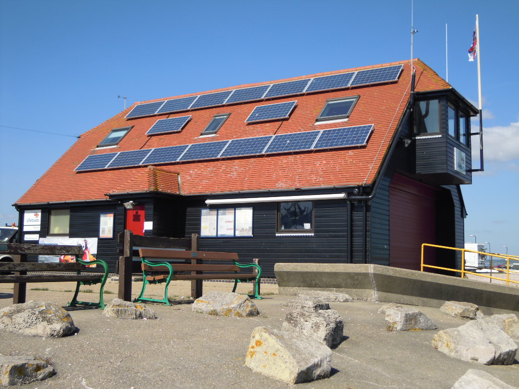
Portsmouth Lifeboat Station
Portsmouth Lifeboat Station is located on Eastney Point near Southsea, in the English county of Hampshire. The station is owned and operated by the RNLI...

The Kench, Hayling Island
The Kench, Hayling Island is a 6-hectare (15-acre) Local Nature Reserve on Hayling Island in Hampshire. It is owned by Hampshire County Council and managed...

A2030 road
The A2030 is a road in Hampshire. The road starts off at junction 5 of the A3(M), near the village of Bedhampton. The road then runs west along the base...
Baker's Island
Baker's Island is an island in Langstone Harbour, Hampshire, England. It is 400 m (1,300 ft) long and up to 300 m (980 ft) wide but only rises to a little...
Nearby Amenities
Located within 500m of 50.809961,-1.0221067Have you been to Sword Sands?
Leave your review of Sword Sands below (or comments, questions and feedback).