Kelso Mires
Coastal Marsh, Saltings in Shetland
Scotland
Kelso Mires
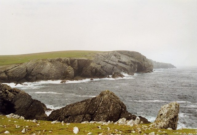
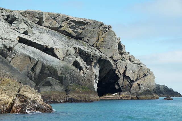
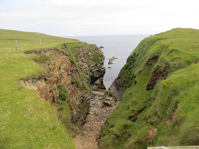
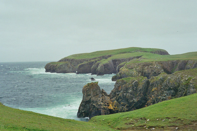
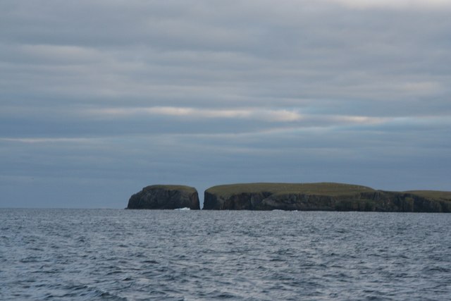
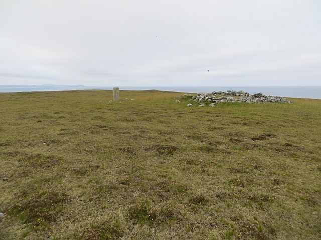
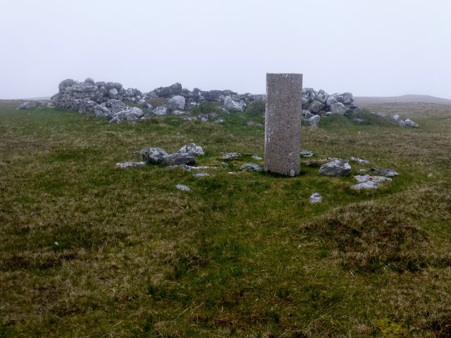
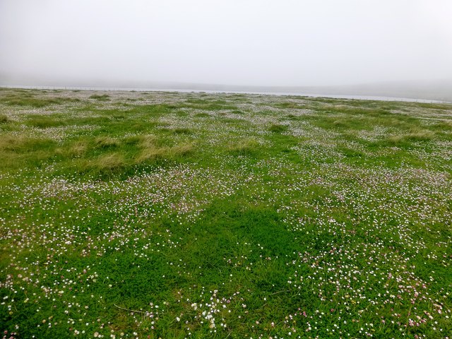
Kelso Mires is a coastal marsh located in the Shetland Islands, a remote archipelago in the North Atlantic Ocean, Scotland. This unique ecosystem is characterized by its expansive salt marshes and saltings, which provide a vital habitat for a variety of plant and animal species.
The marshes at Kelso Mires are predominantly composed of salt-tolerant grasses and sedges, such as sea couch grass (Elymus athericus) and sea club-rush (Bolboschoenus maritimus). These plants have adapted to the harsh coastal conditions, including high salinity and regular tidal inundation. The marshes act as natural buffers, providing protection against erosion and storm surges.
The biodiversity at Kelso Mires is remarkable, attracting numerous bird species. It is a popular breeding ground for waterfowl such as ducks and waders, including redshanks (Tringa totanus) and lapwings (Vanellus vanellus). Additionally, the marshes serve as an important stopover site for migratory birds, offering them food and shelter during their long journeys.
The intertidal areas of Kelso Mires are also home to various marine invertebrates, such as crabs and snails, which thrive in the brackish waters. These shallow waters are teeming with life, providing a rich food source for both resident and migratory bird species.
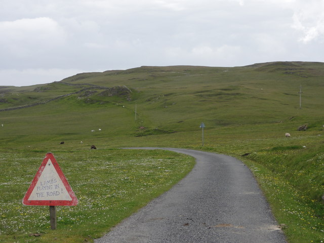
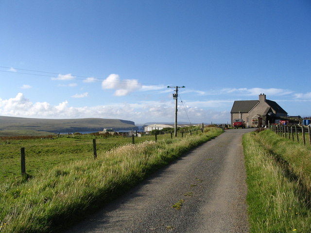
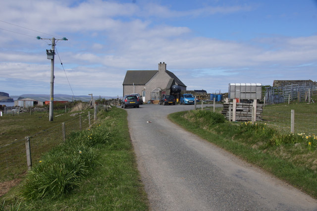
Kelso Mires is not only ecologically important but also holds cultural significance. It is a site of natural beauty, attracting visitors who appreciate its serene landscapes and diverse wildlife. The marshes offer opportunities for nature observation, birdwatching, and photography, providing a unique experience for those who venture to this remote corner of the Shetland Islands.
If you have any feedback on the listing, please let us know in the comments section below.
Kelso Mires Images
Images are sourced within 2km of 60.603144/-0.77715313 or Grid Reference HU6791. Thanks to Geograph Open Source API. All images are credited.


Kelso Mires is located at Grid Ref: HU6791 (Lat: 60.603144, Lng: -0.77715313)
Unitary Authority: Shetland Islands
Police Authority: Highlands and Islands
What 3 Words
///slim.electrode.curious. Near Houbie, Shetland Islands
Nearby Locations
Related Wikis

Haltadans
Haltadans, also known as Fairy Ring or Haltadans stone circle, is a stone circle on the island of Fetlar in Shetland, Scotland. This site is a ring of...

Fetlar
Fetlar (Scots: Fetlar) is one of the North Isles of Shetland, Scotland, with a usually resident population of 61 at the time of the 2011 census. Its main...

Funzie Girt
Funzie Girt (; Scots: Funyie Girt "Finns' dyke") is an ancient dividing wall that was erected from north to south across the island of Fetlar in Shetland...

Haaf Gruney
Haaf Gruney is a small island in the north east of the Shetland Islands. == Geography and geology == The island is between Unst and Fetlar which are to...

Urie Lingey
For other islands with similar names, see Linga (disambiguation) Urie Lingey is one of the Shetland Islands. It is between Fetlar and Unst, and Yell is...

Brough Lodge
Brough Lodge is a 19th-century Gothic mansion on Fetlar, one of the Shetland Islands, in northern Scotland. Built by the Nicolson family, who were responsible...

Hamars Ness
Hamars Ness is a headland on the island of Fetlar in Shetland, Scotland. The name is from the Old Norse Hamarsnes meaning "craggy headland". A ro-ro ferry...

Uyea, Unst
Uyea (Scots: Uyea) is an uninhabited island, lying south of Unst in Shetland, Scotland. == History == The island was inhabited as early as the Bronze Age...
Have you been to Kelso Mires?
Leave your review of Kelso Mires below (or comments, questions and feedback).