Stringastets
Cliff, Slope in Shetland
Scotland
Stringastets
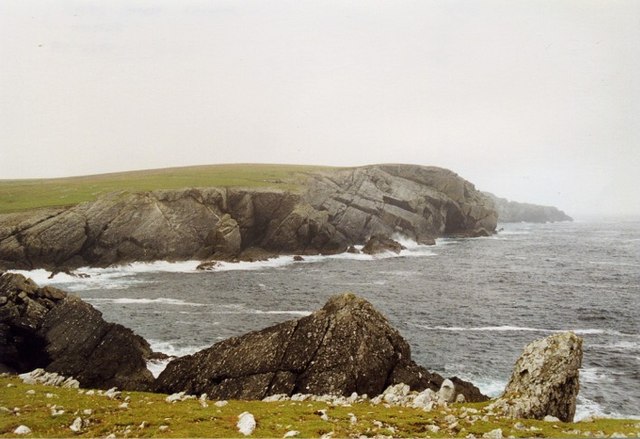
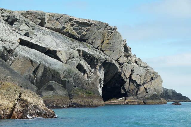
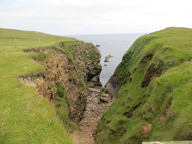
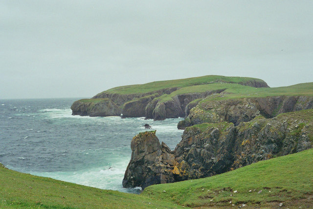
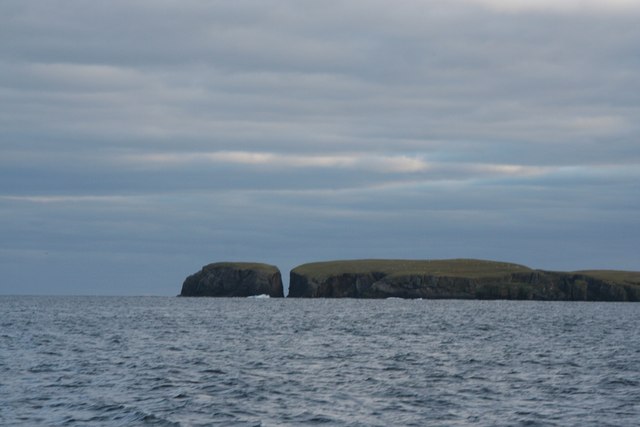
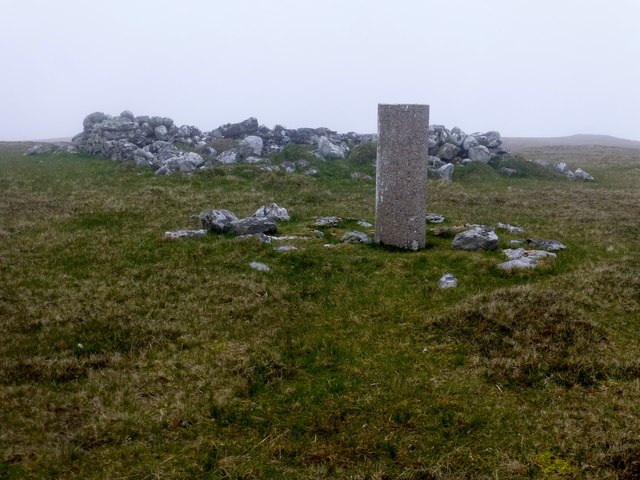
Stringastets is a geological formation located in the Shetland Islands, an archipelago in Scotland. It is specifically situated on the eastern coast of the main island, known as Mainland Shetland. Stringastets is characterized by its impressive cliffs and slopes, which have been formed through millions of years of geological processes.
The cliffs at Stringastets are composed mainly of sedimentary rocks, such as sandstone and shale, which were deposited during the Devonian period. These layers of rock have been gradually eroded by the relentless action of the sea, wind, and weathering, resulting in the formation of steep cliffs that reach heights of up to 150 meters (490 feet). The exposed rock layers provide valuable insight into the geological history of the region.
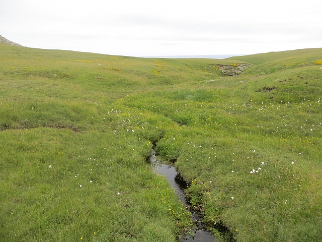
The slopes of Stringastets are equally noteworthy, as they showcase the dynamic nature of this coastal landscape. The slopes are a result of the erosion and deposition of materials over time, creating a diverse array of landforms. From gentle, undulating slopes to steeper inclines, the area offers a variety of topographical features.
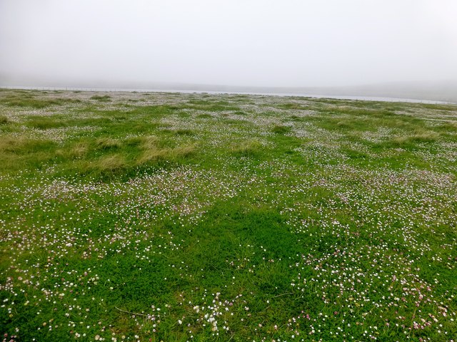
Stringastets is not only an awe-inspiring geological site but also a haven for wildlife. The cliffs provide nesting grounds for numerous seabird species, including puffins, fulmars, and guillemots. The surrounding heathlands and grassy slopes support a rich and diverse range of plant species, making it an important habitat for both flora and fauna.
Visitors to Stringastets can enjoy breathtaking views of the dramatic cliffs and slopes, as well as the opportunity to observe the fascinating wildlife that calls this place home. The site also offers opportunities for geological study and exploration, attracting researchers and enthusiasts from around the world.
If you have any feedback on the listing, please let us know in the comments section below.
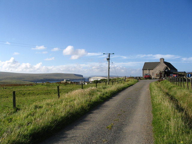
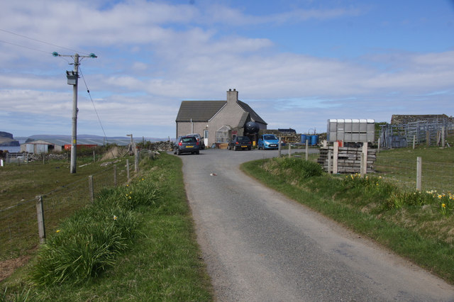
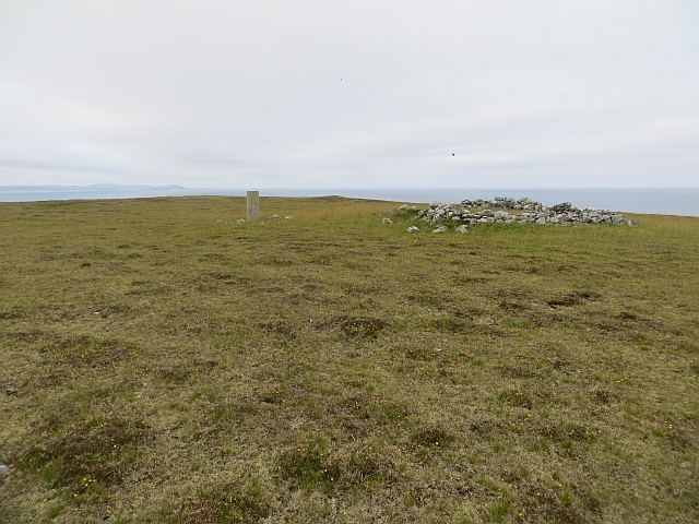
Stringastets Images
Images are sourced within 2km of 60.601586/-0.76787991 or Grid Reference HU6791. Thanks to Geograph Open Source API. All images are credited.


Stringastets is located at Grid Ref: HU6791 (Lat: 60.601586, Lng: -0.76787991)
Unitary Authority: Shetland Islands
Police Authority: Highlands and Islands
What 3 Words
///remit.flinches.fooling. Near Houbie, Shetland Islands
Nearby Locations
Related Wikis

Haltadans
Haltadans, also known as Fairy Ring or Haltadans stone circle, is a stone circle on the island of Fetlar in Shetland, Scotland. This site is a ring of...

Fetlar
Fetlar (Scots: Fetlar) is one of the North Isles of Shetland, Scotland, with a usually resident population of 61 at the time of the 2011 census. Its main...

Funzie Girt
Funzie Girt (; Scots: Funyie Girt "Finns' dyke") is an ancient dividing wall that was erected from north to south across the island of Fetlar in Shetland...

Haaf Gruney
Haaf Gruney is a small island in the north east of the Shetland Islands. == Geography and geology == The island is between Unst and Fetlar which are to...

Urie Lingey
For other islands with similar names, see Linga (disambiguation) Urie Lingey is one of the Shetland Islands. It is between Fetlar and Unst, and Yell is...

Brough Lodge
Brough Lodge is a 19th-century Gothic mansion on Fetlar, one of the Shetland Islands, in northern Scotland. Built by the Nicolson family, who were responsible...

Hamars Ness
Hamars Ness is a headland on the island of Fetlar in Shetland, Scotland. The name is from the Old Norse Hamarsnes meaning "craggy headland". A ro-ro ferry...
Have you been to Stringastets?
Leave your review of Stringastets below (or comments, questions and feedback).