Mires of Bydons

Coastal Marsh, Saltings in Shetland

Scotland

Mires of Bydons

Outer Dale, Lambhoga, Fetlar
Outer Dale, Lambhoga, Fetlar Credit: Mike Pennington

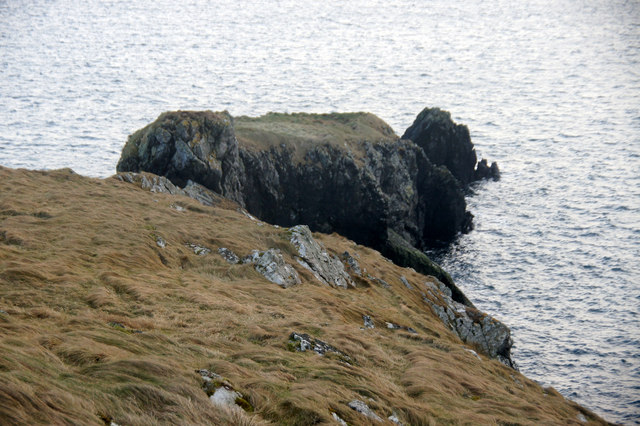
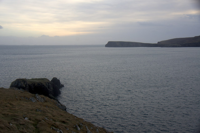
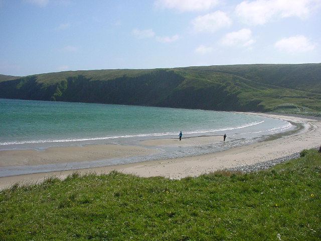
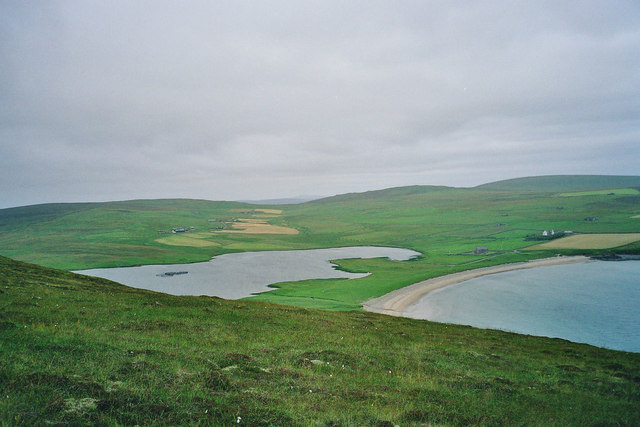
Mires of Bydons, located in the Shetland Islands, is a coastal marsh and saltings area that encompasses a diverse and unique ecosystem. This natural habitat is characterized by its wetland conditions, with a mixture of freshwater and saltwater environments creating a rich and complex landscape.

The Mires of Bydons is teeming with a wide range of plant and animal life. The marsh is home to various species of sedges, rushes, and grasses that thrive in the wet conditions. These plants provide habitat and food sources for numerous bird species, including waders such as redshanks, oystercatchers, and curlews, which can be observed foraging in the shallow waters.

The saltings area of Mires of Bydons is a unique feature, consisting of salt marshes that are periodically flooded by the tides. This creates a brackish environment, supporting a different array of plant species that are adapted to tolerate saltwater intrusion. Sea aster, saltmarsh grass, and sea arrowgrass are among the plants that thrive in this challenging environment.

The Mires of Bydons also serve as an important breeding ground for several bird species. The marshes provide ideal nesting sites and food sources for species such as lapwings and red-throated divers. These areas play a crucial role in supporting the biodiversity of the Shetland Islands and are protected as a Site of Special Scientific Interest (SSSI).

Visitors to Mires of Bydons can enjoy walks along designated paths that offer stunning views of the coastal marsh and saltings. The area is also popular among birdwatchers, who can observe the diverse birdlife from specially constructed hides. It is essential for visitors to respect the fragile ecosystem and adhere to any guidelines in place to ensure the preservation of this unique habitat.

If you have any feedback on the listing, please let us know in the comments section below.

Mires of Bydons Images

Images are sourced within 2km of 60.596892/-0.88050176 or Grid Reference HU6190. Thanks to Geograph Open Source API. All images are credited.

Outer Dale, Lambhoga, Fetlar
North of Hoganeap, Lambhoga, Fetlar
Looking north from path up to Lamb Hoga There is a very good track from the car park beside Fetlar Kirk up onto Lamb Hoga with views to Out Skerries, Bressay and across the whole of Fetlar.  I had assumed that Lamb Hoga would be pronounced as written but oh no, it's pronounced as a single word "Lahmuga" with the stress on the first sylable "Lahm".
Looking north from path up to Lamb Hoga
There is a very good track from the car park beside Fetlar Kirk up onto Lamb Hoga with views to Out Skerries, Bressay and across the whole of Fetlar. I had assumed that Lamb Hoga would be pronounced as written but oh no, it's pronounced as a single word "Lahmuga" with the stress on the first sylable "Lahm".
The Peat Road The bogs of Lamb Hoga provided Fetlar with high quality fuel. Every year, islanders would move to the peninsula to cast and dry peats. The fuel was then taken off via this road or by boat across to Aith for the eastern side of the island.
 The beach at Tresta is in the background along with Vord Hill.
The Peat Road
The bogs of Lamb Hoga provided Fetlar with high quality fuel. Every year, islanders would move to the peninsula to cast and dry peats. The fuel was then taken off via this road or by boat across to Aith for the eastern side of the island. The beach at Tresta is in the background along with Vord Hill.
The Dale A shallow reentrant on the boggy Lamb Hoga plateau. There is a view over the Wick of Tresta towards Aithbank where peats cut here were once landed.
The Dale
A shallow reentrant on the boggy Lamb Hoga plateau. There is a view over the Wick of Tresta towards Aithbank where peats cut here were once landed.
The Peat Road Lamb Hoga was the source of Fetlar's peat and this was one of the ways the peat was carried to the crofts. Much of the peat was taken out by boat and landed at Airthbank.
The Peat Road
Lamb Hoga was the source of Fetlar's peat and this was one of the ways the peat was carried to the crofts. Much of the peat was taken out by boat and landed at Airthbank.
The Heog, Houbie, Fetlar
The Heog, near Houbie, Fetlar And the view across the Wick of Tresta towards the Head of Lambhoga.
The Heog, near Houbie, Fetlar
And the view across the Wick of Tresta towards the Head of Lambhoga.
SW of Tresta towards Silda Wick Looking across the inland end of the Wick of Tresta
SW of Tresta towards Silda Wick
Looking across the inland end of the Wick of Tresta
Papil Water Taken from Fitsyi Field on Lamb Hoga, with Stackaberg (centre) and Vord Hill (right) in the distance.
Papil Water
Taken from Fitsyi Field on Lamb Hoga, with Stackaberg (centre) and Vord Hill (right) in the distance.
View towards Garths of Tresta Taken from Lamb Hoga with the Wick of Tresta in foreground.
View towards Garths of Tresta
Taken from Lamb Hoga with the Wick of Tresta in foreground.
Tresta beach, Fetlar The beach at Tresta on Fetlar.
Tresta beach, Fetlar
The beach at Tresta on Fetlar.
Fetlar Interpretive Centre, Houbie
Southdale with the Manse and Tresta in the background
The approach to Houbie The remains of a broch stand over the Wick of Houbie.
The approach to Houbie
The remains of a broch stand over the Wick of Houbie.
Hjaltadans Stone Circle This stone circle is well hidden in the moor to the north of Skutes Water. The story goes that the two central stones were a fiddler and his wife who were entertaining a group of trows and were interrupted in their music making by the rising sun which turned them all to stone. Must have been a better day than when I took the picture!
Hjaltadans Stone Circle
This stone circle is well hidden in the moor to the north of Skutes Water. The story goes that the two central stones were a fiddler and his wife who were entertaining a group of trows and were interrupted in their music making by the rising sun which turned them all to stone. Must have been a better day than when I took the picture!
The hill of Stackaberg
South end of Fetlar airstrip The hill of Stackaberg is visible in the distance.
South end of Fetlar airstrip
The hill of Stackaberg is visible in the distance.
Show me another place!

Mires of Bydons is located at Grid Ref: HU6190 (Lat: 60.596892, Lng: -0.88050176)

Unitary Authority: Shetland Islands

Police Authority: Highlands and Islands

What 3 Words

///professed.wasps.overpower. Near Houbie, Shetland Islands

Related Wikis

Fetlar

Fetlar (Scots: Fetlar) is one of the North Isles of Shetland, Scotland, with a usually resident population of 61 at the time of the 2011 census. Its main...

Haltadans

Haltadans, also known as Fairy Ring or Haltadans stone circle, is a stone circle on the island of Fetlar in Shetland, Scotland. This site is a ring of...

Funzie Girt

Funzie Girt (; Scots: Funyie Girt "Finns' dyke") is an ancient dividing wall that was erected from north to south across the island of Fetlar in Shetland...

Brough Lodge

Brough Lodge is a 19th-century Gothic mansion on Fetlar, one of the Shetland Islands, in northern Scotland. Built by the Nicolson family, who were responsible...

Urie Lingey

For other islands with similar names, see Linga (disambiguation) Urie Lingey is one of the Shetland Islands. It is between Fetlar and Unst, and Yell is...

Hamars Ness

Hamars Ness is a headland on the island of Fetlar in Shetland, Scotland. The name is from the Old Norse Hamarsnes meaning "craggy headland". A ro-ro ferry...

Hascosay

Hascosay (Scots: Hascosay; Old Norse "Hafskotsey") is a small island lying between Yell and Fetlar in the Shetland Islands, Scotland. == Geography and... ==

Sound Gruney

For other islands with similar names, see Gruney (disambiguation) Sound Gruney is one of the Shetland islands. It lies about 1.5 kilometres (0.93 mi)...

Nearby Amenities

Located within 500m of 60.596892,-0.88050176
Turning Circle
Lat/Long: 60.5932274/-0.8834626
Power: pole
Lat/Long: 60.5958271/-0.8872145
Power: pole
Lat/Long: 60.5961853/-0.8875364
Power: pole
Lat/Long: 60.5968095/-0.8887166
Power: pole
Lat/Long: 60.5967739/-0.8880487
Power: pole
Lat/Long: 60.5968556/-0.8894783
Power: pole
Lat/Long: 60.5959575/-0.8715746
Power: pole
Lat/Long: 60.5959812/-0.875386
Power: pole
Lat/Long: 60.5959733/-0.8738571
Power: pole
Lat/Long: 60.595968/-0.8722344
Power: pole
Lat/Long: 60.5959864/-0.8767405
Power: pole
Lat/Long: 60.5959891/-0.8774969
Power: pole
Lat/Long: 60.5960023/-0.8783257
Power: pole
Lat/Long: 60.5960049/-0.8789265
Power: pole
Lat/Long: 60.5960036/-0.8795461
Power: pole
Lat/Long: 60.5960141/-0.8810776
Power: pole
Lat/Long: 60.5960194/-0.8818903
Power: pole
Lat/Long: 60.5960233/-0.882518
Power: pole
Lat/Long: 60.596022/-0.8833736
Power: pole
Lat/Long: 60.5960312/-0.8841729
Power: pole
Lat/Long: 60.5959022/-0.8848703
Power: pole
Lat/Long: 60.5957757/-0.8855462
Power: pole
Lat/Long: 60.5956506/-0.8862006
Power: pole
Lat/Long: 60.5955111/-0.8869436
Power: pole
Lat/Long: 60.5953043/-0.8880219
Passing Place
Lat/Long: 60.6012026/-0.8823159
Passing Place
Lat/Long: 60.5996207/-0.8772091
Passing Place
Lat/Long: 60.5985812/-0.8738768
Tresta
Place: hamlet
Lat/Long: 60.5932064/-0.8848476
Power: pole
Lat/Long: 60.5933492/-0.8850487
Power: pole
Lat/Long: 60.5938255/-0.8854648
Power: pole
Lat/Long: 60.5943363/-0.8859278
Power: pole
Lat/Long: 60.5949135/-0.8864245
The data included in this document is from www.openstreetmap.org. The data is made available under ODbL.

Have you been to Mires of Bydons?

Leave your review of Mires of Bydons below (or comments, questions and feedback).