Lower Place
Settlement in Middlesex
England
Lower Place

Lower Place is a small village located in the county of Middlesex, England. Situated approximately 15 miles west of central London, it falls within the borough of Hillingdon. The village is nestled amidst picturesque countryside and offers a peaceful and idyllic setting for its residents.
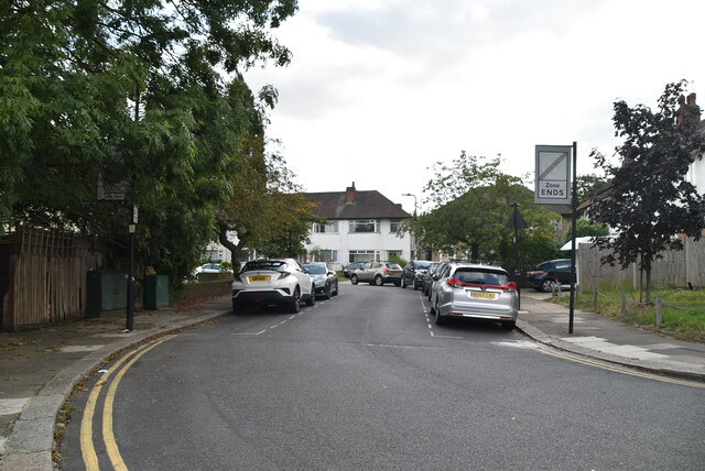
Lower Place is primarily a residential area, consisting mainly of detached and semi-detached houses, along with a few apartment complexes. The architecture reflects a mix of traditional and modern styles, blending harmoniously with the surrounding natural beauty. The village is known for its well-maintained gardens and neat streets, creating a pleasant and inviting atmosphere.
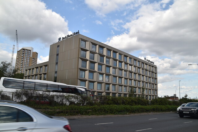
The village boasts a close-knit community, with a population of around 3,000 residents. The local amenities include a primary school, a community center, and a small convenience store. For additional shopping, entertainment, and leisure activities, residents can easily access the nearby town of Uxbridge, which is just a short drive away.
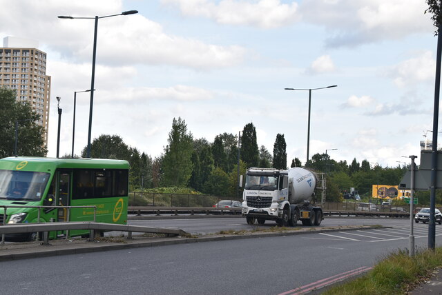
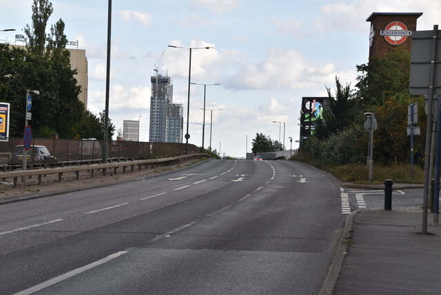
Transportation links in Lower Place are well-developed, with regular bus services connecting the village to surrounding towns and London. The nearest railway station is West Drayton, providing convenient access to London Paddington and other major destinations.
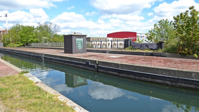
Nature enthusiasts can enjoy the beautiful countryside surrounding Lower Place, with several parks and green spaces nearby. The village is also within close proximity to the Grand Union Canal, providing opportunities for leisurely walks and boating activities.
In summary, Lower Place offers a tranquil and picturesque living environment, combining the charm of a rural village with the convenience of being near London. It is an ideal location for those seeking a peaceful retreat while still having easy access to urban amenities.
If you have any feedback on the listing, please let us know in the comments section below.
Lower Place Images
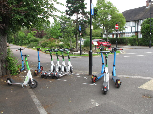
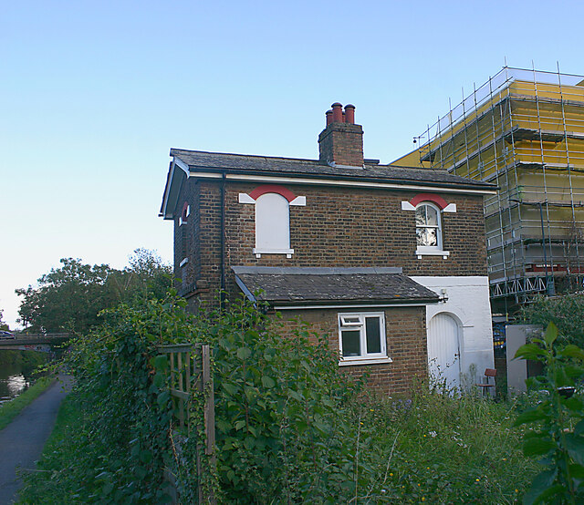
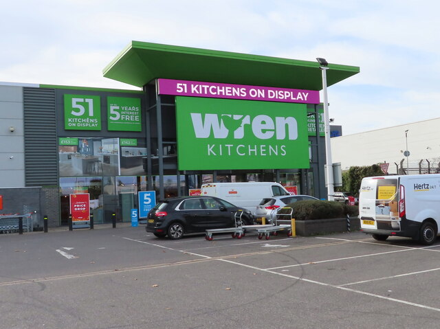
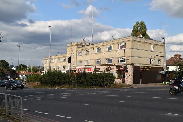
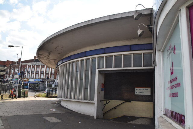
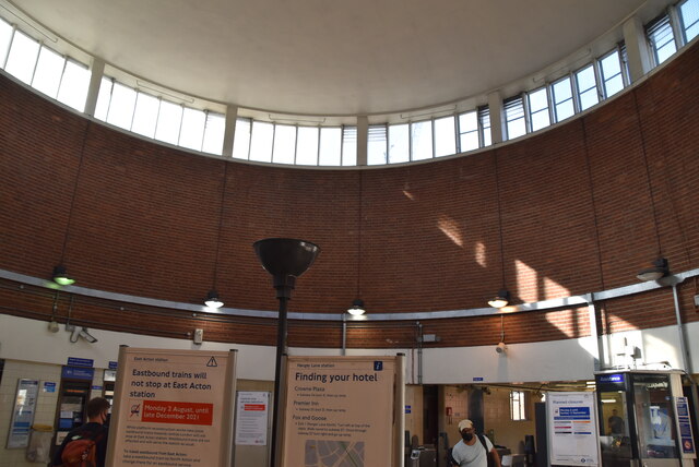
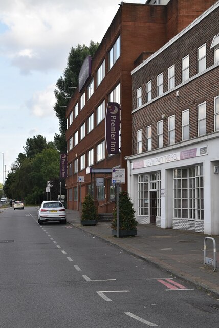
Images are sourced within 2km of 51.531957/-0.26458042 or Grid Reference TQ2082. Thanks to Geograph Open Source API. All images are credited.


Lower Place is located at Grid Ref: TQ2082 (Lat: 51.531957, Lng: -0.26458042)
Unitary Authority: Ealing
Police Authority: Metropolitan
What 3 Words
///ship.leans.humble. Near Acton, London
Nearby Locations
Related Wikis

St Mark's Hospital
St Mark's Hospital, The National Bowel Hospital (informally St Mark's) is a hospital in Park Royal, Greater London, England. Managed by London North West...
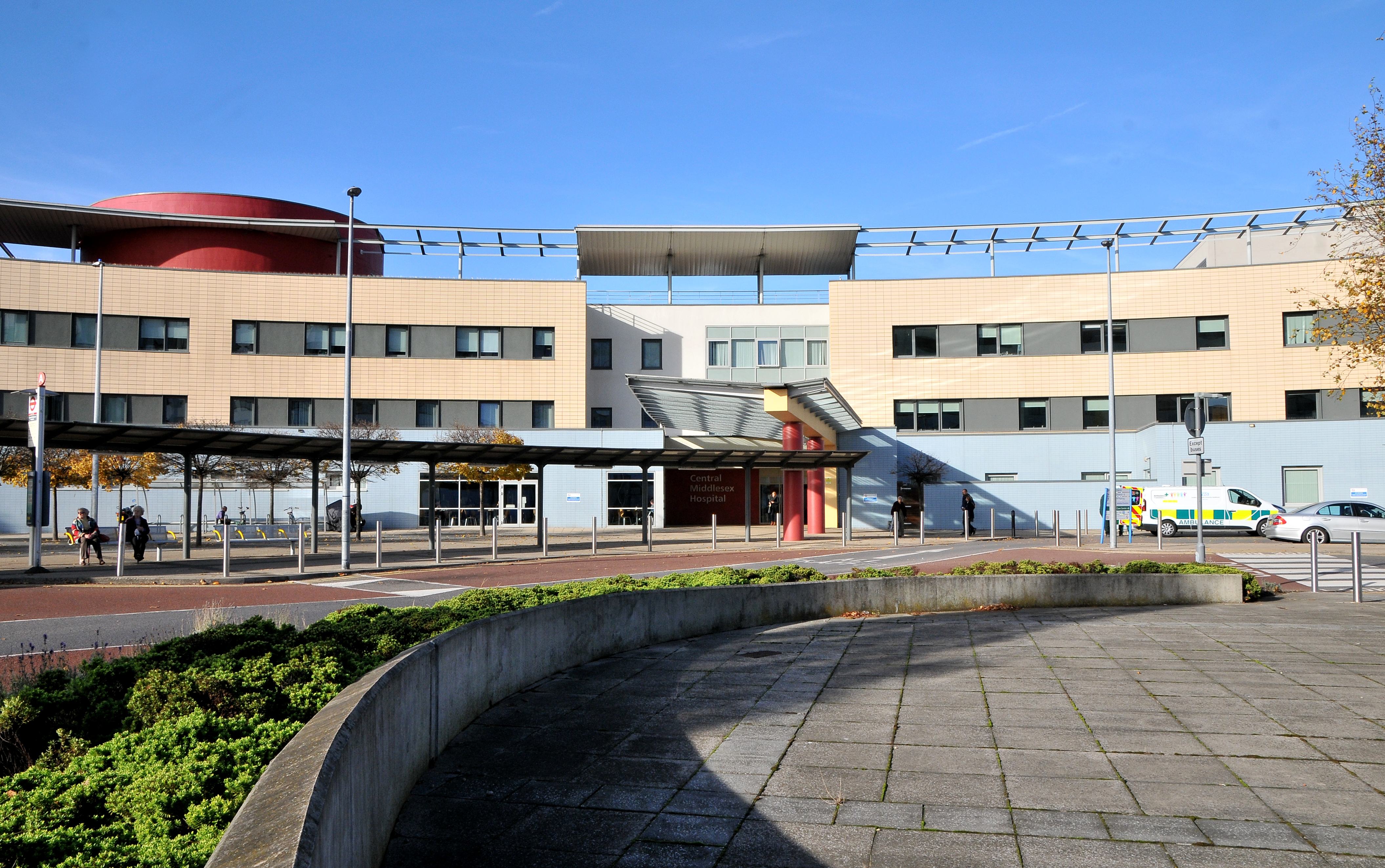
Central Middlesex Hospital
Central Middlesex Hospital is in the centre of the Park Royal business estate, on the border of two London boroughs, Brent and Ealing. It is managed by...

Acton Lane Power Station
Acton Lane Power Station was a power station in London NW10. The station, also known as Willesden power station, was located to the south of the Euston...
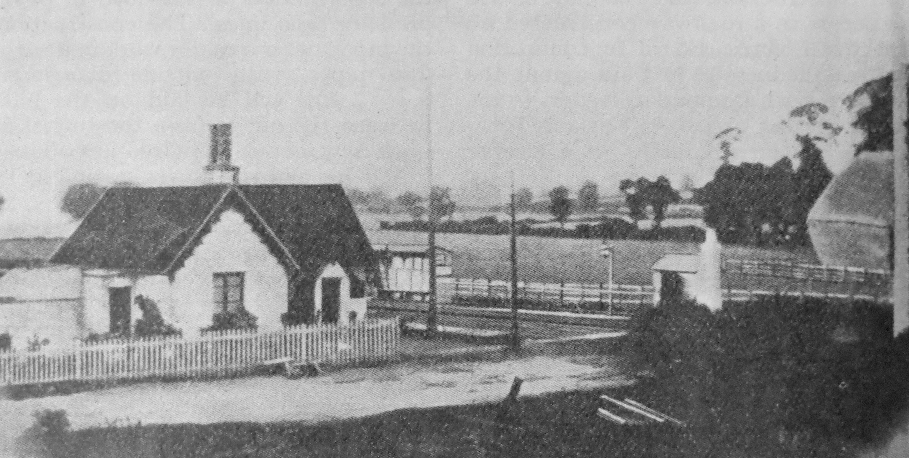
Willesden railway station
Willesden railway station was a station about 50 yards (46 m) north of Acton Lane level crossing in Harlesden, Middlesex, opened in 1841 by the London...
Nearby Amenities
Located within 500m of 51.531957,-0.26458042Have you been to Lower Place?
Leave your review of Lower Place below (or comments, questions and feedback).