Moordale Bog
Coastal Marsh, Saltings in Yorkshire
England
Moordale Bog
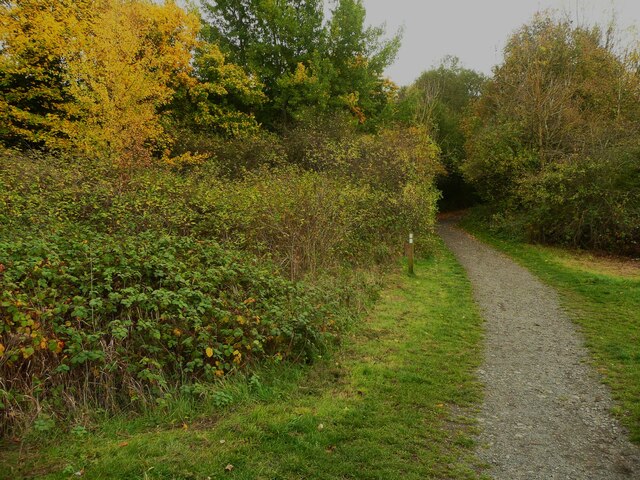
Moordale Bog is a captivating coastal marsh located in Yorkshire, England. Situated on the eastern coast of the county, it is a prominent feature of the Moordale region, attracting nature enthusiasts and visitors alike. This stunning expanse of wetland stretches across several kilometers, encompassing an area of diverse flora and fauna.
The bog's unique ecosystem is primarily characterized by its saline environment, owing to its proximity to the coast. Known as 'saltings', these marshes are influenced by the ebb and flow of the tides. As the sea water recedes, it leaves behind a brackish mix of saltwater and freshwater, creating a habitat ideal for various plants and animals.
The vegetation in Moordale Bog is incredibly diverse, with salt-tolerant species thriving in the saline conditions. One can find a myriad of grasses, rushes, and sedges, along with vibrant wildflowers that add a splash of color to the landscape. The bog also supports a variety of bird species, both resident and migratory, such as curlews, lapwings, and redshanks. These birds are attracted to the bog's abundance of insects, small fish, and crustaceans.
Visitors to Moordale Bog can explore the area through a network of well-maintained footpaths and boardwalks, which allow for a close-up experience with nature while minimizing human impact on the delicate environment. The bog offers stunning panoramic views of the surrounding coastal scenery, including the nearby cliffs and the ever-changing tides.
Overall, Moordale Bog in Yorkshire is a remarkable coastal marsh that showcases the beauty and ecological significance of saline wetlands. Its rich biodiversity and breathtaking landscape make it a must-visit destination for nature enthusiasts and those seeking a peaceful retreat amidst the beauty of Yorkshire's coast.
If you have any feedback on the listing, please let us know in the comments section below.
Moordale Bog Images
Images are sourced within 2km of 54.547591/-1.11777 or Grid Reference NZ5717. Thanks to Geograph Open Source API. All images are credited.


Moordale Bog is located at Grid Ref: NZ5717 (Lat: 54.547591, Lng: -1.11777)
Division: North Riding
Unitary Authority: Redcar and Cleveland
Police Authority: Cleveland
What 3 Words
///moral.tests.gone. Near South Bank, North Yorkshire
Nearby Locations
Related Wikis

Middlesbrough South and East Cleveland (UK Parliament constituency)
Middlesbrough South and East Cleveland is a constituency created in 1997 represented in the House of Commons of the UK Parliament since 2017 by Simon Clarke...
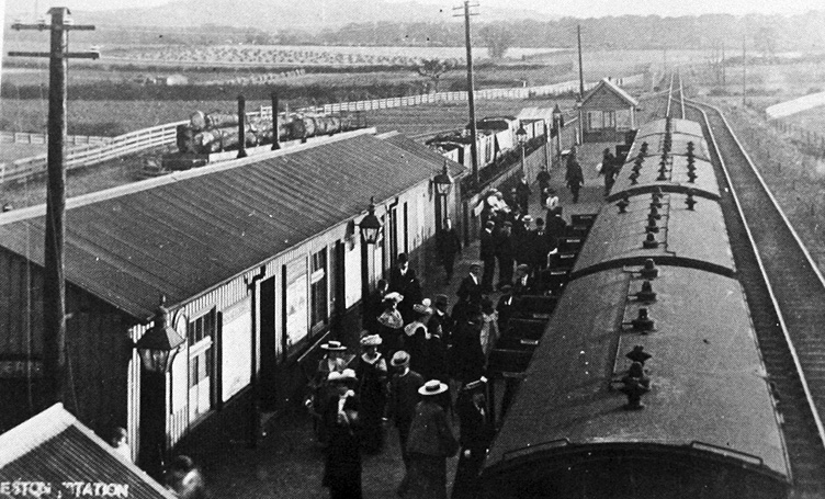
Eston railway station
Eston railway station formerly served the North Yorkshire town of Eston. It was used as a passenger station between 1902 and 1929 and as a goods-only station...

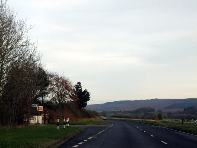
A173 road
The A173 is a major road in North Yorkshire, England. It runs from Stokesley to Skelton. == References ==

Greater Eston
Greater Eston is part of the Borough of Redcar and Cleveland, North Yorkshire, England. The name is used by the borough council to describe the centres...
Have you been to Moordale Bog?
Leave your review of Moordale Bog below (or comments, questions and feedback).