Ayre of Breiwick

Coastal Marsh, Saltings in Shetland

Scotland

Ayre of Breiwick

Southern Whalsay Looking from near the summit of Ward of Clett across to the uninhabited islet of East Linga in the distance.
Southern Whalsay Credit: David Purchase

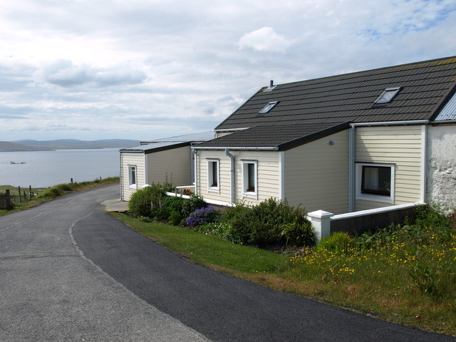
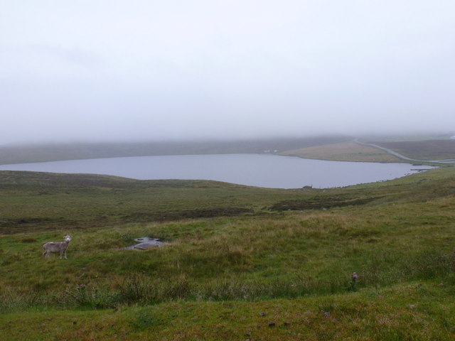
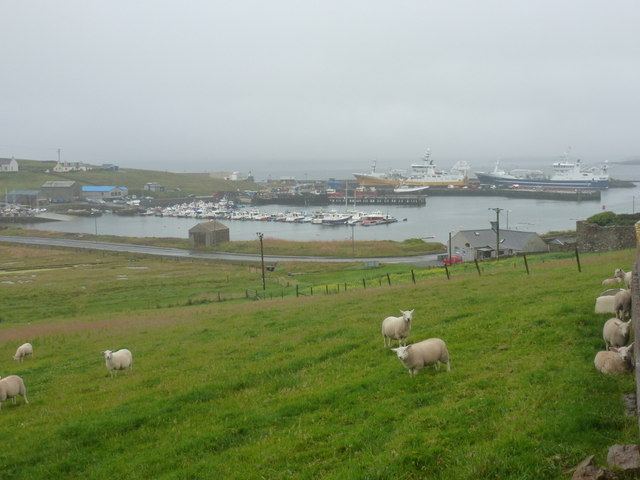
Ayre of Breiwick is a coastal marsh located in the Shetland Islands, which are part of Scotland in the United Kingdom. Situated near the town of Lerwick, Ayre of Breiwick encompasses a vast expanse of saltings, which are coastal areas that are periodically flooded by seawater.

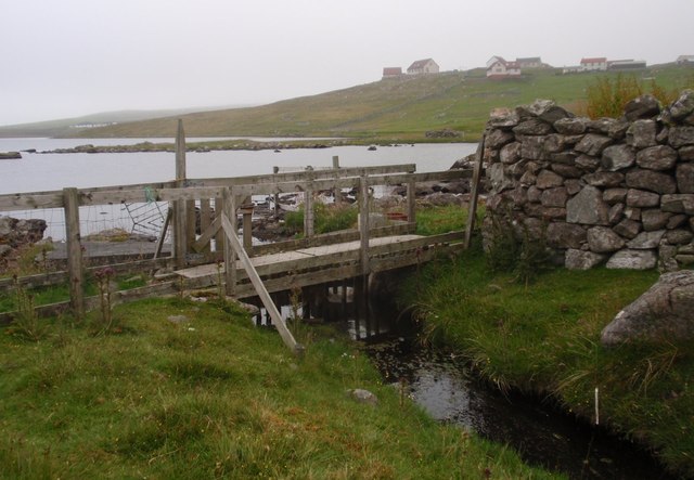
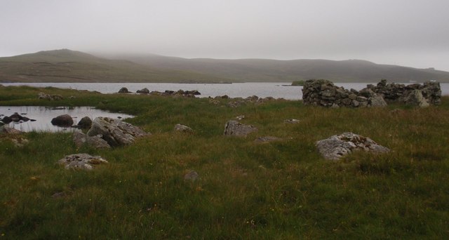
The marshland is characterized by its unique ecosystem, rich in biodiversity and home to a variety of plant and animal species. The saltings provide an important habitat for numerous wading birds, such as redshanks, oystercatchers, and curlews, which can be observed feeding on the mudflats during low tide. The marsh grasses and reeds provide cover and nesting sites for the birds, adding to the ecological significance of the area.

Ayre of Breiwick is also valued for its role in flood protection, as the marshland acts as a natural barrier against storm surges and high tides. The dense vegetation helps to absorb and slow down the flow of water, reducing the risk of coastal erosion and protecting the nearby town from potential damage.

The area is popular among nature enthusiasts and birdwatchers, who visit Ayre of Breiwick to observe the diverse birdlife and experience the tranquil beauty of the marshland. The site is easily accessible, with footpaths and viewing platforms allowing visitors to explore and appreciate the natural wonders of this coastal marsh.

If you have any feedback on the listing, please let us know in the comments section below.

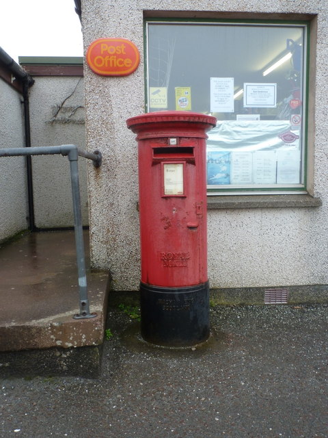
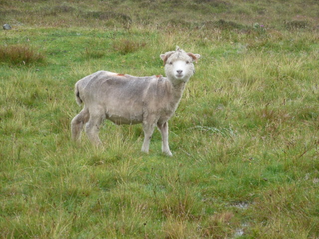
Ayre of Breiwick Images

Images are sourced within 2km of 60.329319/-0.99634052 or Grid Reference HU5561. Thanks to Geograph Open Source API. All images are credited.

Southern Whalsay Looking from near the summit of Ward of Clett across to the uninhabited islet of East Linga in the distance.
Southern Whalsay
Looking from near the summit of Ward of Clett across to the uninhabited islet of East Linga in the distance.
The summit of Ward of Clett, Whalsay Well, this is what everyone would think is the summit. But the purists maintain that the true highest point is a little way to the north-east, at HU55046148.
The summit of Ward of Clett, Whalsay
Well, this is what everyone would think is the summit. But the purists maintain that the true highest point is a little way to the north-east, at HU55046148.
Descending to Clate On the way down from Ward of Clett, the highest point on Whalsay.
Descending to Clate
On the way down from Ward of Clett, the highest point on Whalsay.
Loch of Huxter, Whalsay One of four lochs on Whalsay of similar size. I would estimate that this is the largest.
Loch of Huxter, Whalsay
One of four lochs on Whalsay of similar size. I would estimate that this is the largest.
A Cottage A Cottage at the turning space, Clate, Whalsay
A Cottage
A Cottage at the turning space, Clate, Whalsay
Rocks and Old Iron, Loch of Huxter A beautiful small loch near Symbister. The thing on the rock looks like part of an old stove.
Rocks and Old Iron, Loch of Huxter
A beautiful small loch near Symbister. The thing on the rock looks like part of an old stove.
Loch of Huxter
Loch of Huxter
Whalsay Leisure Centre
View at Symbister The eastern part of Symbister. Sodom, according to the map.
View at Symbister
The eastern part of Symbister. Sodom, according to the map.
Symbister House A mansion built in 1823 for the owners of Whalsay, the Bruce family. According to this article <span class="nowrap"><a title="https://en.wikipedia.org/wiki/Symbister_House" rel="nofollow ugc noopener" href="https://en.wikipedia.org/wiki/Symbister_House">Link</a><img style="margin-left:2px;" alt="External link" title="External link - shift click to open in new window" src="https://s1.geograph.org.uk/img/external.png" width="10" height="10"/></span> they were an obnoxious bunch.
The house is now used by Whalsay secondary school.
Symbister House
A mansion built in 1823 for the owners of Whalsay, the Bruce family. According to this article LinkExternal link they were an obnoxious bunch. The house is now used by Whalsay secondary school.
Huxter Loch, bridge across the outflow burn
Huxter Loch, east shore View to an area known locally as the 'Clease Holm'
Huxter Loch, east shore
View to an area known locally as the 'Clease Holm'
Symbister: the post office This general store houses Symbister Post Office, since 5 or 10 years ago the only office on the island after the one at Brough closed.
Symbister: the post office
This general store houses Symbister Post Office, since 5 or 10 years ago the only office on the island after the one at Brough closed.
Symbister: postbox № ZE2 100 This large Elizabeth II-reign postbox stands outside the post office (<a href="https://www.geograph.org.uk/photo/2757136">HU5461 : Symbister: the post office</a>) and is one of two postboxes on Whalsay. It is emptied on, weekdays and Saturdays, at 8:45am.
Symbister: postbox № ZE2 100
This large Elizabeth II-reign postbox stands outside the post office (HU5461 : Symbister: the post office) and is one of two postboxes on Whalsay. It is emptied on, weekdays and Saturdays, at 8:45am.
Whalsay: Loch of Huxter A bedraggled sheep stands by the side-turning to the hamlet of Huxter on a horribly wet day, as we look beyond towards the loch and the lane winding towards Symbister.
Whalsay: Loch of Huxter
A bedraggled sheep stands by the side-turning to the hamlet of Huxter on a horribly wet day, as we look beyond towards the loch and the lane winding towards Symbister.
Whalsay: a bedraggled sheep This chap features in the picture <a href="https://www.geograph.org.uk/photo/2757149">HU5562 : Whalsay: Loch of Huxter</a>, and has a quizzical look as if he wonders why anyone would be passing these parts on such a foul, wet day.
Whalsay: a bedraggled sheep
This chap features in the picture HU5562 : Whalsay: Loch of Huxter, and has a quizzical look as if he wonders why anyone would be passing these parts on such a foul, wet day.
Symbister: sheep above the harbour Looking towards the harbour from the road leading south towards the post office, sheep grazing in a field alongside the road.
Symbister: sheep above the harbour
Looking towards the harbour from the road leading south towards the post office, sheep grazing in a field alongside the road.
Whalsay Leisure Centre Whalsay is a prosperous island, sustained by the deep sea fishing fleet. Even by Shetland standards, the leisure centre seems particularly grand with a 15 m swimming pool, multi-sport main hall, a squash court and a fitness suite.
Whalsay Leisure Centre
Whalsay is a prosperous island, sustained by the deep sea fishing fleet. Even by Shetland standards, the leisure centre seems particularly grand with a 15 m swimming pool, multi-sport main hall, a squash court and a fitness suite.
Show me another place!

Ayre of Breiwick is located at Grid Ref: HU5561 (Lat: 60.329319, Lng: -0.99634052)

Unitary Authority: Shetland Islands

Police Authority: Highlands and Islands

What 3 Words

///liberty.permanent.highbrow. Near Symbister, Shetland Islands

Nearby Locations

Ayre of Breiwick

Related Wikis

Breiwick Burn

Breiwick Burn is a burn (stream) in southeastern Whalsay, Shetland Islands, Scotland. The source of the stream is in the Ward of Clette, to the northeast...

Whalsay

Whalsay (Scots: Whalsa; Old Norse: Hvalsey or Hvals-øy, meaning 'Whale Island') is the sixth largest of the Shetland Islands in the north of Scotland....

Loch of Huxter

Loch of Huxter is a loch of southeastern Whalsay, Shetland Islands, Scotland, to the southwest of the village of Huxter. There is a water pumping station...

Clate

Clate (also known as Clett) is a hamlet and ward in southwestern Whalsay in the parish of Nesting in the Shetland Islands of Scotland. == Geography... ==

Huxter

Huxter is a crofting township in southeastern Whalsay in the parish of Nesting in the Shetland islands of Scotland. It lies to the east of Symbister, just...

Sandwick, Whalsay

Sandwick is a hamlet, often considered part of the main village of Symbister along with adjacent Harlsdale, in the parish of Nesting in southwestern Whalsay...

Holm of Sandwick

The Holm of Sandwick is an islet, located roughly 100 metres (330 ft) off Haa Ness and the southwestern side of Whalsay, in the Shetland Islands of Scotland...

Sodom, Shetland

Sodom (known locally as Sudheim) is a settlement on Whalsay, Shetland. The name is a corruption of the Old Norse Suðheim meaning "south home". It was formerly...

Have you been to Ayre of Breiwick?

Leave your review of Ayre of Breiwick below (or comments, questions and feedback).