Satchell Marsh

Coastal Marsh, Saltings in Hampshire Eastleigh

England

Satchell Marsh

Barnbrook Road, Sarisbury Green
Barnbrook Road, Sarisbury Green Credit: Robin Webster

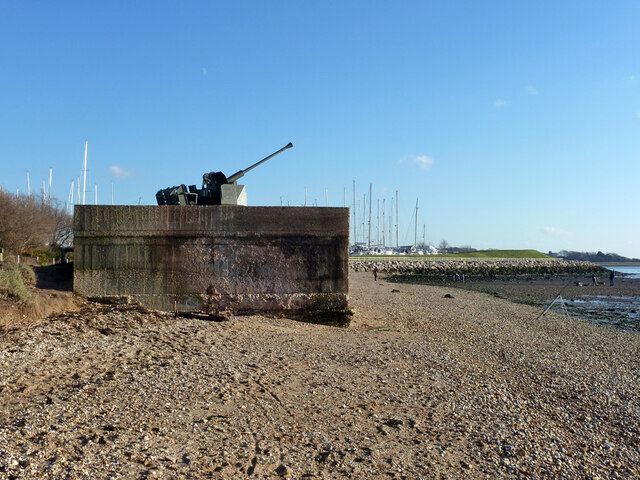
Satchell Marsh, located in Hampshire, is a picturesque coastal marshland known for its unique ecosystem and stunning natural beauty. Spanning over a vast area, this marsh is situated in close proximity to the sea, making it a prime destination for both wildlife enthusiasts and nature lovers.

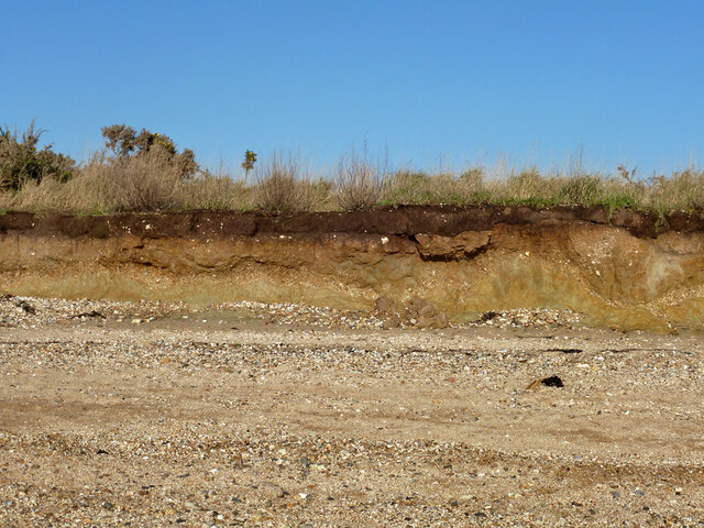
The marsh is characterized by its extensive saltmarshes and saltings, which are influenced by the tides of the nearby coast. These tidal forces have shaped the landscape over time, resulting in a diverse range of habitats that support a rich array of flora and fauna. The saltmarshes themselves are comprised of various coastal vegetation such as sea lavender, cordgrass, and samphire, creating a vibrant tapestry of colors.

Birdwatchers flock to Satchell Marsh for its remarkable avian population. The marsh serves as an important breeding and feeding ground for numerous bird species, including wading birds, ducks, and geese. Visitors can spot elegant herons, graceful egrets, and majestic swans, among others, as they go about their daily activities in this serene environment.

Aside from its avian residents, Satchell Marsh is also home to a variety of other wildlife. Otters can be seen swimming in the marsh's waterways, while seals occasionally visit from the nearby coast. In addition, the marsh provides a habitat for a range of insects, amphibians, and small mammals, further enriching its biodiversity.

Satchell Marsh offers visitors an opportunity to immerse themselves in the tranquility of nature, with walking trails and observation points allowing for closer encounters with the marsh's inhabitants. Its unique coastal ecosystem and stunning vistas make it a must-visit destination for anyone seeking to explore the natural wonders of Hampshire.

If you have any feedback on the listing, please let us know in the comments section below.

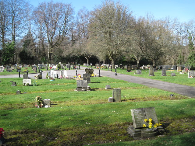
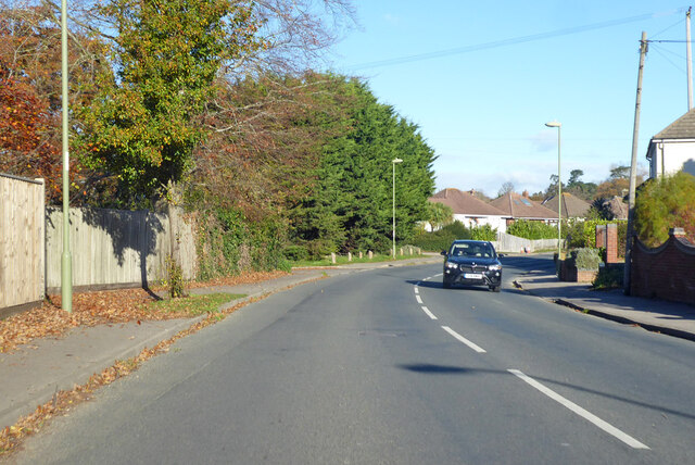
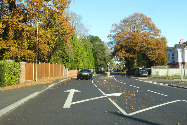
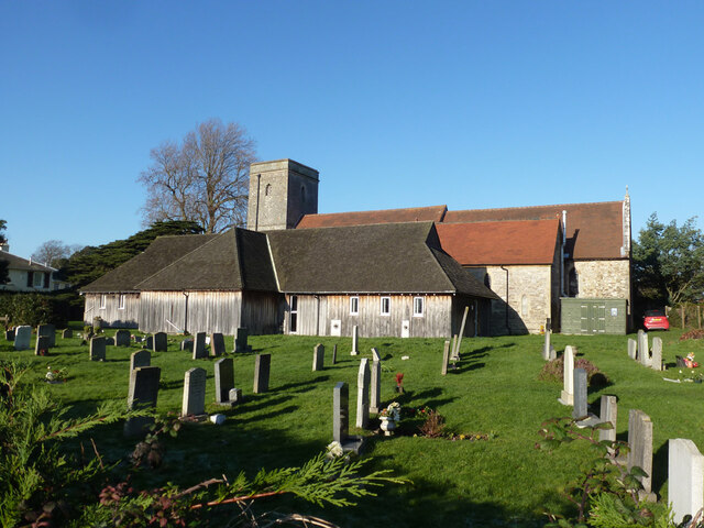
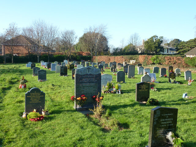
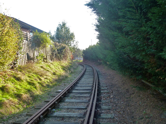
Satchell Marsh Images

Images are sourced within 2km of 50.86492/-1.3127571 or Grid Reference SU4807. Thanks to Geograph Open Source API. All images are credited.

Barnbrook Road, Sarisbury Green
Lockswood Road Towards Warsash.
Lockswood Road
Towards Warsash.
Houses on Sherwood Gardens
Bus stop and shelter on Barnes Lane
Cemetery by Holly Hill Woodland Park
Path in Holly Hill Woodland Park
Entrance to Holly Hill Woodland Park
Path from car park Holly Hill
Brook Lane Heading north from Warsash.
Brook Lane
Heading north from Warsash.
Brook Lane, Warsash
Brook Lane, Warsash
The Priory Church of St Andrew the Apostle, Hamble A grade II*(star) listed building.
The Priory Church of St Andrew the Apostle, Hamble
A grade II*(star) listed building.
Graveyard, Hamble
Graveyard, Hamble
Hamble Village Memorial Hall Built 1933, refurbished 2003. The 'Memorial' was transferred from an earlier hall of 1920 that was remembering war dead.
Hamble Village Memorial Hall
Built 1933, refurbished 2003. The 'Memorial' was transferred from an earlier hall of 1920 that was remembering war dead.
Disused railway to oil installation The private branch from near Hamble station to an oil installation of BP (formerly Shell Mex and BP) is no longer used. Away from the installation the route is heavily overgrown, but the track appears to be still in place. Here there is a strange provision of double check rails.
Disused railway to oil installation
The private branch from near Hamble station to an oil installation of BP (formerly Shell Mex and BP) is no longer used. Away from the installation the route is heavily overgrown, but the track appears to be still in place. Here there is a strange provision of double check rails.
Disused level crossing, Barton Drive The disused private branch from near Hamble station to an oil installation (currently BP Oil) on Southampton Water crosses here. The track still seems mostly in place but it is heavily overgrown. Double tracks here, a loop on the single line. The white pipeline markers explain why the railway fell out of use.
Disused level crossing, Barton Drive
The disused private branch from near Hamble station to an oil installation (currently BP Oil) on Southampton Water crosses here. The track still seems mostly in place but it is heavily overgrown. Double tracks here, a loop on the single line. The white pipeline markers explain why the railway fell out of use.
Anti-aircraft gun, Hamble Defence of Britain reference e27098, the original emplacement, probably not the original gun.
Anti-aircraft gun, Hamble
Defence of Britain reference e27098, the original emplacement, probably not the original gun.
Low cliff, Hamble Common This seems to have been cut back about 25 m over the last century.
Low cliff, Hamble Common
This seems to have been cut back about 25 m over the last century.
Water frontage, Hamble oil terminal Currently BP, earlier a Shell Mex and BP depot before that liaison dissolved. The red sign says 'Private Property. No fires on the beach', which seems sensible.
Water frontage, Hamble oil terminal
Currently BP, earlier a Shell Mex and BP depot before that liaison dissolved. The red sign says 'Private Property. No fires on the beach', which seems sensible.
Show me another place!

Satchell Marsh is located at Grid Ref: SU4807 (Lat: 50.86492, Lng: -1.3127571)

Administrative County: Hampshire

District: Eastleigh

Police Authority: Hampshire

What 3 Words

///city.probable.fortified. Near Hamble-le-Rice, Hampshire

Related Wikis

Mercury Marshes

Mercury Marshes is a 6.4-hectare (16-acre) Local Nature Reserve in Hamble-le-Rice in Hampshire. It is owned by Hampshire County Council and managed by...

Hamble Rail Trail

The Hamble Rail Trail is a 4.5-mile-long (7.2 km) circular footpath in Hampshire, southern England, comprising a path which runs alongside a disused railway...

Hamble-le-Rice

Hamble-le-Rice, commonly known as Hamble, is a village and civil parish in the Borough of Eastleigh in Hampshire, England. It is best known for being an...

Holly Hill Woodland Park

Holly Hill Woodland Park is a 28.1-hectare (69-acre) Local Nature Reserve in Fareham in Hampshire. It is owned by Fareham Borough Council and managed...

Folland Sports F.C.

Folland Sports Football Club is a football club based in Hamble-le-Rice, near Southampton, in Hampshire, England. They are currently members of the Wessex...

Lincegrove and Hackett's Marshes

Lincegrove and Hackett's Marshes is a 37.8-hectare (93-acre) biological Site of Special Scientific Interest on the west bank of the River Hamble between...

Hamble Club F.C.

Hamble Club Football Club is a football club based in Hamble-le-Rice, Hampshire. They are currently members of the Wessex League Premier Division and play...

Hamble railway station

Hamble railway station is an unstaffed station near the village of Hamble-le-Rice, England. It is served by a 2-track electrified line which joins the...

Nearby Amenities

Located within 500m of 50.86492,-1.3127571
Source: PGS
Lat/Long: 50.8613858/-1.3128701
Source: PGS
Lat/Long: 50.8629955/-1.3076577
Source: PGS
Lat/Long: 50.8617082/-1.3081429
Turning Circle
Lat/Long: 50.8673983/-1.3127764
Turning Circle
Lat/Long: 50.8673232/-1.3126948
Turning Circle
Lat/Long: 50.8666604/-1.3134486
Turning Circle
Lat/Long: 50.8667476/-1.3135154
Turning Circle
Lat/Long: 50.8654706/-1.3168859
Bus Stop
Oakwood Way
Bus: yes
Naptan AtcoCode: 1900HA030513
Naptan Bearing: S
Naptan CommonName: Oakwood Way
Naptan Crossing: Satchell Lane
Naptan NaptanCode: hamdgwad
Naptan Street: Oakwood Way
Naptan Verified: no
Public Transport: platform
Source: naptan_import
Lat/Long: 50.8626492/-1.316702
Bus Stop
Oakwood Way
Bus: yes
Naptan AtcoCode: 1900HA030514
Naptan Bearing: N
Naptan CommonName: Oakwood Way
Naptan Crossing: Satchell Lane
Naptan NaptanCode: hamdgtwt
Naptan Street: Oakwood Way
Naptan Verified: no
Public Transport: platform
Source: naptan_import
Lat/Long: 50.8626676/-1.3167728
Bus Stop
Cedric Mews
Bus: yes
Naptan AtcoCode: 1900HA030515
Naptan Bearing: S
Naptan CommonName: Cedric Mews
Naptan Crossing: Cerdic Mews
Naptan NaptanCode: hamdgwaw
Naptan Street: Satchell Lane
Naptan Verified: no
Public Transport: platform
Source: naptan_import
Lat/Long: 50.8651811/-1.3160113
Historic: wreck
Seamark Type: wreck
Lat/Long: 50.8634218/-1.3068312
Historic: wreck
Seamark Type: wreck
Lat/Long: 50.8636182/-1.3072818
Bar
Banana Wharf
Addr City: Southampton
Addr Postcode: SO31 4QD
Addr Street: Satchell Lane
Addr Village: Hamble-Le-Rice
Fhrs Id: 140205
Lat/Long: 50.8614022/-1.3131947
Post Box
Collection Times: Mo-Fr 17:45; Sa 08:15
Post Box Type: pillar
Ref: SO31 313
Royal Cypher: GVIR
Royal Cypher Wikidata: Q33102169
Lat/Long: 50.865992/-1.3161957
Booth: K6
Removed Amenity: telephone
Lat/Long: 50.8659714/-1.3161917
Turning Circle
Lat/Long: 50.8679126/-1.3124412
Bench
Backrest: yes
Check Date: 2024-04-14
Ele: 1m
Material: wood
Lat/Long: 50.8657866/-1.3062722
Seamark Light Category: vertical
Seamark Light Character: F
Seamark Light Colour: red
Seamark Light Multiple: 2
Seamark Light Range: 2
Seamark Type: light_minor
Lat/Long: 50.8608407/-1.311416
Seamark Light Category: vertical
Seamark Light Character: F
Seamark Light Colour: red
Seamark Light Multiple: 2
Seamark Light Range: 2
Seamark Type: light_minor
Lat/Long: 50.8615765/-1.3112709
Seamark Light Category: vertical
Seamark Light Character: F
Seamark Light Colour: red
Seamark Light Multiple: 2
Seamark Light Range: 2
Seamark Type: light_minor
Lat/Long: 50.8623978/-1.3111408
Seamark Light Category: vertical
Seamark Light Character: F
Seamark Light Colour: red
Seamark Light Multiple: 2
Seamark Light Range: 2
Seamark Type: light_minor
Lat/Long: 50.8633681/-1.3109738
Seamark Beacon Special Purpose Colour: black
Seamark Light Character: Fl
Seamark Light Colour: red
Seamark Light Period: 4
Seamark Light Range: 2
Seamark Type: light_minor
Lat/Long: 50.8627837/-1.3105434
Seamark Beacon Special Purpose Colour: black
Seamark Light Character: Fl
Seamark Light Colour: green
Seamark Light Period: 4
Seamark Light Range: 2
Seamark Type: light_minor
Lat/Long: 50.8641787/-1.3091701
Seamark Beacon Lateral Category: port
Seamark Beacon Lateral Colour: red
Seamark Beacon Lateral Shape: stake
Seamark Beacon Lateral System: iala-a
Seamark Topmark Colour: red
Seamark Topmark Shape: rectangle, vertical
Seamark Type: beacon_lateral
Lat/Long: 50.8666596/-1.3087745
Hamble Yacht Services
Leisure: marina
Lat/Long: 50.8629991/-1.3133392
Pure Latitude
Addr City: Southampton
Addr Housename: Unit 11 Hamble Yacht Services
Addr Postcode: SO31 4NN
Addr Street: Port Hamble
Description: Membership boating
Lat/Long: 50.8625048/-1.3137576
Force 4
Addr City: Hamble
Addr Housename: Port Hamble Marina
Addr Postcode: SO31 4QD
Addr Street: Satchel Lane
Opening Hours: Mo-Sa 09:00-17:30; Su 09:00-16:00
Operator: Force 4
Phone: +44 2380 454 858
Shop: water_sports
Lat/Long: 50.8613382/-1.3136409
Bench
Backrest: yes
Bench: yes
Check Date: 2024-04-14
Material: wood
Lat/Long: 50.8636723/-1.3069997
Waste Basket
Lat/Long: 50.868031/-1.3120693
Bench
Lat/Long: 50.8659729/-1.3114658
Bench
Lat/Long: 50.8669607/-1.3126503
TS Mercury memorial plinth
Description: and historical information panel.
Historic: memorial
Memorial: stone
Lat/Long: 50.8668713/-1.3126058
Boat Rental
Fairview Sailing
Phone: +44 2380 457023
Website: https://www.fairviewsailing.co.uk/
Lat/Long: 50.861421/-1.3135965
Direction: 185
Generator Method: photovoltaic
Generator Output Electricity: yes
Generator Solar Modules: 5
Generator Source: solar
Generator Type: solar_photovoltaic_panel
Location: roof
Power: generator
Tilted: yes
Lat/Long: 50.8645571/-1.3157642
Direction: 185
Generator Method: photovoltaic
Generator Output Electricity: yes
Generator Solar Modules: 7
Generator Source: solar
Generator Type: solar_photovoltaic_panel
Location: roof
Power: generator
Lat/Long: 50.864577/-1.3158808
Turning Circle
Lat/Long: 50.8680264/-1.3123479
Board Type: welcome_sign
Information: board
Tourism: information
Lat/Long: 50.8657542/-1.3060969
Bench
Backrest: yes
Lat/Long: 50.865568/-1.3060956
The data included in this document is from www.openstreetmap.org. The data is made available under ODbL.

Have you been to Satchell Marsh?

Leave your review of Satchell Marsh below (or comments, questions and feedback).