Egypt Point

Coastal Marsh, Saltings in Hampshire

England

Egypt Point

Listed buildings, West Cowes The Grade 2-listed former Northwood Park lodge (circa 1837) shown across the road and, in the foreground, part of the Grade 2-star listed 'round house', an early 19th century toll gate or lodge.
Listed buildings, West Cowes Credit: Paul Coueslant

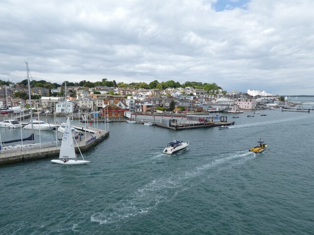
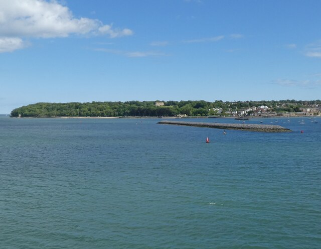
Egypt Point is a coastal marsh and saltings located in the county of Hampshire, England. Situated on the western edge of the Isle of Wight, it offers stunning views of the Solent and the mainland. The site is a designated Site of Special Scientific Interest (SSSI) due to its ecological importance and unique coastal features.

The area is characterized by a diverse range of habitats, including saltmarsh, mudflats, and shingle beach. These habitats provide a home to a wide variety of plant and animal species, many of which are rare and protected. The saltmarsh is particularly notable, with its extensive network of creeks and channels that fill and drain with the tidal cycle. This dynamic environment supports a rich array of marsh plants, such as sea lavender, sea purslane, and samphire.

Egypt Point is also a vital site for birdlife, attracting numerous species throughout the year. During the winter months, it serves as an important feeding ground for wading birds, including dunlins, redshanks, and curlews. In spring and summer, it becomes a breeding site for terns and gulls. Additionally, the area is frequented by migratory birds that stopover during their long journeys.

Access to Egypt Point is facilitated by a network of footpaths and a small car park nearby. Visitors can enjoy leisurely walks along the coast, taking in the panoramic views of the Solent and the distant mainland. The site is also popular among birdwatchers and nature enthusiasts, who come to observe the diverse wildlife that inhabits this unique coastal habitat.

Overall, Egypt Point is a treasured natural gem, offering a glimpse into the diverse and fragile ecosystems that thrive along the Hampshire coastline.

If you have any feedback on the listing, please let us know in the comments section below.
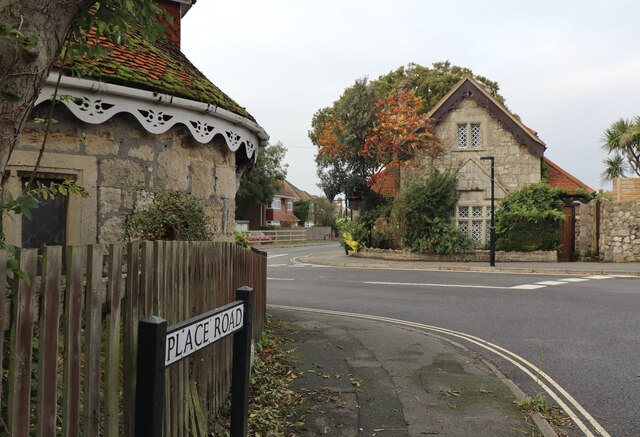
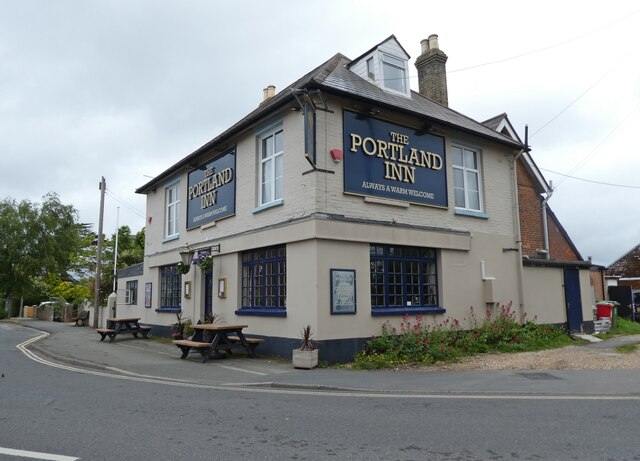
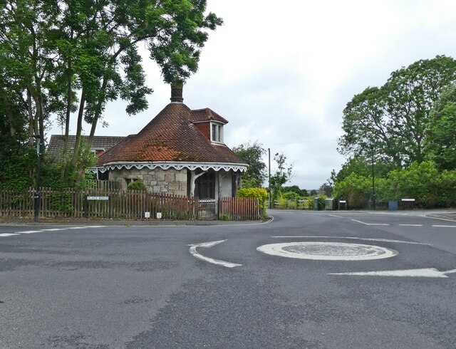
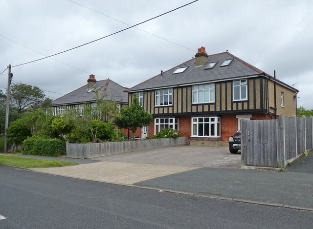
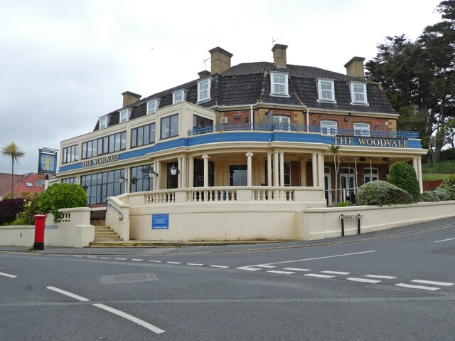
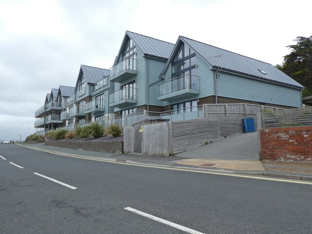
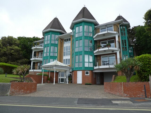
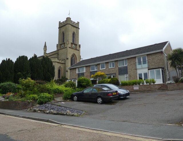
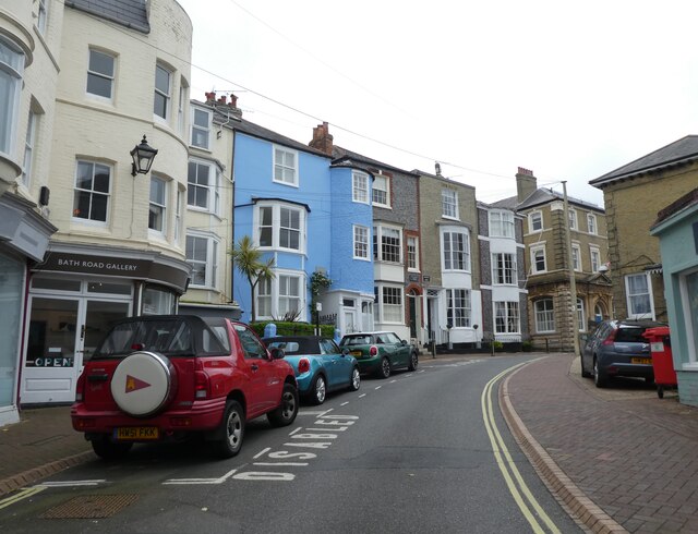
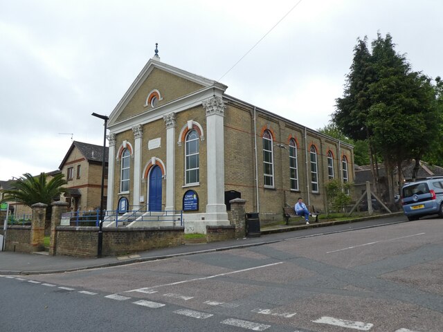
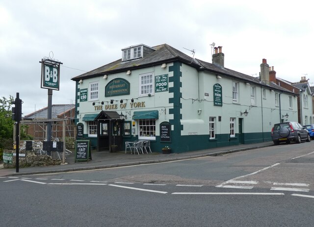
Egypt Point Images

Images are sourced within 2km of 50.767162/-1.3145727 or Grid Reference SZ4896. Thanks to Geograph Open Source API. All images are credited.

Listed buildings, West Cowes The Grade 2-listed former Northwood Park lodge (circa 1837) shown across the road and, in the foreground, part of the Grade 2-star listed 'round house', an early 19th century toll gate or lodge.
Listed buildings, West Cowes
The Grade 2-listed former Northwood Park lodge (circa 1837) shown across the road and, in the foreground, part of the Grade 2-star listed 'round house', an early 19th century toll gate or lodge.
The Portland Inn, Gurnard
Lodge, on Place Road
Houses on Worsley Road
'The Woodvale'
'The Woodvale'
'Solent Shores'
'Solent Shores'
'Hawkins'
'Hawkins'
Trinity Church, Cowes Unusual to see modern housing built in close proximity to an old church.
Trinity Church, Cowes
Unusual to see modern housing built in close proximity to an old church.
The Globe, Cowes
The Globe, Cowes
Island Sailing Club, Cowes
Passenger ferry arrives from Southampton
Watch House Barn
Watch House Barn
Bath Road, Cowes
Bath Road, Cowes
Cowes Baptist Church
The Duke of York, Cowes
Dockside buildings, Cowes The farthest building is a former sail loft.
Dockside buildings, Cowes
The farthest building is a former sail loft.
The harbour at Cowes
Breakwater at East Cowes
Show me another place!

Egypt Point is located at Grid Ref: SZ4896 (Lat: 50.767162, Lng: -1.3145727)

Unitary Authority: Isle of Wight

Police Authority: Hampshire

What 3 Words

///unicorns.donor.traders. Near Gurnard, Isle of Wight

Related Wikis

Egypt Point

Egypt Point is the northernmost point of the island county of the Isle of Wight off the south coast of England, and was one of Queen Victoria's favoured...

Rosetta Cottage

Rosetta Cottage, is a Victorian manor house situated in Cowes, Isle of Wight. Initially one residence, it now consists of two smaller holiday homes, Rosetta...

Cowes Enterprise College

Cowes Enterprise College, previously known as Cowes High School, is a coeducational secondary school and sixth form with academy status located on the...

Holy Trinity Church, Cowes

Holy Trinity Church, Cowes is a parish church in the Church of England located in Cowes, Isle of Wight. == History == The church was built in 1832 by the...

Cowes Castle

Cowes Castle, also known as West Cowes Castle, is a Device Fort in Cowes on the Isle of Wight. Originally built by Henry VIII in 1539 to protect England...

St Mary the Virgin Church, Cowes

St Mary the Virgin Church, Cowes is a Church of England parish church in Cowes, Isle of Wight. It is in Church Road, next to Northwood House. == History... ==

Gurnard Bay

Gurnard Bay is a bay on the north-west coast of the Isle of Wight, England, in the western arm of the Solent. It lies to the north-west of the village...

Cowes railway station

Cowes railway station was a railway station in Cowes on the Isle of Wight, off the south coast of England. It took pride in being the "prettiest station...

Nearby Amenities

Located within 500m of 50.767162,-1.3145727
Source: PGS
Lat/Long: 50.7652004/-1.3202533
Source: PGS
Lat/Long: 50.7656684/-1.3194339
Source: PGS
Lat/Long: 50.7663806/-1.3174098
Source: PGS
Lat/Long: 50.7664431/-1.317239
Source: PGS
Lat/Long: 50.7665521/-1.3167524
Source: PGS
Lat/Long: 50.7667652/-1.3152206
Source: PGS
Lat/Long: 50.7673271/-1.3138672
Source: PGS
Lat/Long: 50.7673316/-1.3125813
Source: PGS
Lat/Long: 50.76721/-1.3081783
Egypt Point Light (Disused)
Man Made: lighthouse
Wikidata: Q28465942
Lat/Long: 50.7672992/-1.3138958
Parking
Lat/Long: 50.767269/-1.3127639
Post Box
Egypt Hill
Check Date Collection Times: 2017-10-01
Collection Plate: CP1D
Collection Times: Mo-Fr 09:00; Sa 07:00; Su off
Operator: Royal Mail
Operator Wikidata: Q638098
Post Box Type: wall
Ref: PO31 1D
Ref GB Uprn: 10015392804
Royal Cypher: EIIR
Royal Cypher Wikidata: Q33102113
Website: https://www.royalmail.com/services-near-you/postbox/egypt-hill-po31-7aa/00000PO311
Lat/Long: 50.7649227/-1.3112834
Post Box
Esplanade
Check Date Collection Times: 2017-10-01
Collection Plate: CPRD
Collection Times: Mo-Fr 09:00; Sa 07:00; Su off
Operator: Royal Mail
Operator Wikidata: Q638098
Post Box Type: wall
Ref: PO31 5D
Ref GB Uprn: 10015274497
Royal Cypher: VR
Royal Cypher Wikidata: Q33102356
Website: https://www.royalmail.com/services-near-you/postbox/queens-road-cliff-road-po31-7aa/00000PO315
Lat/Long: 50.7669075/-1.3083247
Egypt Cottage
Naptan AtcoCode: 230000009200
Naptan Bearing: SW
Naptan CommonName: Egypt Cottage
Naptan Indicator: Adj
Naptan NaptanCode: iowgtgd
Naptan Street: Baring Road
Shelter: no
Was Highway: bus_stop
Lat/Long: 50.7649218/-1.3115104
Bus Stop
Egypt Hill
Bus: yes
Naptan AtcoCode: 230000009230
Naptan Bearing: SE
Naptan CommonName: Egypt Hill
Naptan Indicator: Adj
Naptan NaptanCode: iowgtgp
Naptan Street: Egypt Hill
Naptan Verified: no
Public Transport: platform
Shelter: no
Lat/Long: 50.7657496/-1.3119461
Lammas Close
Naptan AtcoCode: 230000009550
Naptan Bearing: SW
Naptan CommonName: Lammas Close
Naptan Indicator: Adj
Naptan NaptanCode: iowgwag
Naptan Street: Baring Road
Shelter: no
Was Highway: bus_stop
Lat/Long: 50.7630877/-1.3150053
Briary Court
Naptan AtcoCode: 230000009670
Naptan Bearing: E
Naptan CommonName: Briary Court
Naptan Indicator: towards Cowes
Naptan NaptanCode: iowgwdw
Naptan Street: Egypt Esplanade
Shelter: no
Was Highway: bus_stop
Lat/Long: 50.7665846/-1.3164281
Bus Stop
Briary Court
Bus: yes
Contact Website: https://www.islandbuses.info/stops/2300149
Naptan AtcoCode: 2300149
Naptan Bearing: W
Naptan BusStopType: CUS
Naptan CommonName: Briary Court
Naptan Indicator: towards Newport
Naptan NaptanCode: iowadjd
Naptan Street: Egypt Esplanade
Naptan Verified: no
Public Transport: platform
Shelter: no
Lat/Long: 50.7664815/-1.3163572
Seamark Buoy Cardinal Category: north
Seamark Buoy Cardinal Colour: black;yellow
Seamark Buoy Cardinal Colour Pattern: horizontal
Seamark Buoy Cardinal Shape: pillar
Seamark Light Character: Q
Seamark Light Colour: white
Seamark Name: Gurnard
Seamark Topmark Colour: black
Seamark Topmark Shape: 2 cones up
Seamark Type: buoy_cardinal
Lat/Long: 50.7703781/-1.3139528
Post Box
Check Date Collection Times: 2017-10-01
Collection Plate: CP5D
Collection Times: Mo-Fr 09:00; Sa 07:00; Su off
Operator: Royal Mail
Operator Wikidata: Q638098
Post Box Type: wall
Ref: PO31 26D
Ref GB Uprn: 10015433460
Royal Cypher: EVIIR
Royal Cypher Wikidata: Q33102324
Website: https://www.royalmail.com/services-near-you/postbox/esplanade-po31-7aa/0000PO3126
Lat/Long: 50.7671078/-1.3126417
Life Ring
Emergency: life_ring
Lat/Long: 50.7655168/-1.3197235
Life Ring
Emergency: life_ring
Lat/Long: 50.7663634/-1.3174494
Tourism: picnic_site
Lat/Long: 50.7668682/-1.3080365
Crossing
Crossing: unmarked
Kerb: lowered
Lat/Long: 50.7669846/-1.3131671
Crossing
Crossing: unmarked
Kerb: lowered
Lat/Long: 50.7671459/-1.3106503
Fixme: continue
Lat/Long: 50.7668075/-1.3082019
Crossing
Crossing: unmarked
Kerb: lowered
Lat/Long: 50.7668078/-1.3082586
Crossing
Crossing: unmarked
Kerb: lowered
Lat/Long: 50.767198/-1.3125523
Ice Cream
David Jones Locker
Lat/Long: 50.7671074/-1.3082735
Rothsay Hotel
Addr City: Cowes
Addr Country: GB
Addr Postcode: PO31 8DF
Addr Street: Baring Road
Contact Facebook: http://www.facebook.com/VillaRothsayHotel
Contact Website: https://www.villa-rothsay.co.uk/
Fhrs Id: 541020
Source Addr: FHRS Open Data
Tourism: hotel
Lat/Long: 50.7655975/-1.3087558
Bench
Backrest: yes
Lat/Long: 50.7670534/-1.3085875
Bench
Backrest: yes
Lat/Long: 50.7670946/-1.3088046
Bench
Backrest: yes
Lat/Long: 50.7671252/-1.3091955
Bench
Backrest: yes
Lat/Long: 50.7671358/-1.3095768
Bench
Backrest: yes
Lat/Long: 50.767148/-1.3098953
Bench
Backrest: yes
Lat/Long: 50.766996/-1.308096
Bench
Backrest: yes
Lat/Long: 50.7669733/-1.3078823
Bench
Backrest: yes
Lat/Long: 50.7669611/-1.307776
Bench
Backrest: yes
Lat/Long: 50.7670513/-1.3079293
Bench
Backrest: yes
Lat/Long: 50.7669558/-1.3076921
Bench
Backrest: yes
Lat/Long: 50.7670356/-1.3075028
Bench
Backrest: yes
Lat/Long: 50.7669438/-1.3075452
Bench
Backrest: yes
Lat/Long: 50.767036/-1.307756
Bench
Backrest: yes
Lat/Long: 50.7673084/-1.3125893
Bench
Backrest: yes
Lat/Long: 50.7673039/-1.3127977
Bench
Backrest: yes
Lat/Long: 50.7673007/-1.3134055
Bench
Backrest: yes
Lat/Long: 50.7673007/-1.3138466
Bench
Backrest: yes
Lat/Long: 50.7672821/-1.313939
Bench
Backrest: yes
Lat/Long: 50.7657091/-1.3193685
Bench
Backrest: yes
Lat/Long: 50.7652687/-1.3201897
Defibrillator
Defibrillator Location: Back wall of New Holmwood Hotel car park
Emergency: defibrillator
Indoor: no
Level: 0
Opening Hours: 24/7
Survey Date: 2019-12-16
Wheelchair: yes
Lat/Long: 50.7669383/-1.3121764
Entrance: main
Lat/Long: 50.7669242/-1.3122486
Leisure: slipway
Lat/Long: 50.7673138/-1.3125543
Nursing Home
The Moorings
Addr City: Cowes
Addr Country: GB
Addr Postcode: PO31 8BP
Addr Street: Egypt Hill
Fhrs Id: 541108
Source Addr: FHRS Open Data
Lat/Long: 50.7664506/-1.3123087
Noexit: yes
Lat/Long: 50.7663215/-1.312489
Barrier: kerb
Lat/Long: 50.7671879/-1.31065
Egypt Point
Place: locality
Wikidata: Q5348328
Wikipedia: en:Egypt Point
Lat/Long: 50.7673911/-1.3139176
Power: substation
Ref GB Uprn: 10024888094
Lat/Long: 50.763017/-1.3163946
Bicycle Rental
Egypt Hill
Bicycle Rental: dropoff_point
Capacity: 5
Email: support@beryl.cc
Fee: yes
Name Signed: no
Network: Beryl - Isle of Wight
Official Name: Egypt Hill
Operator: Beryl
Operator Wikidata: Q106575369
Payment App: yes
Payment App Android: cc.beryl.basis
Payment App Ios: 1386768364
Payment Cash: no
Payment Credit Cards: no
Payment Cryptocurrencies: no
Payment Debit Cards: no
Payment Electronic Purses: no
Phone: +44 20 3003 5044
Ref Gbfs: beryl_isle_of_wight:2589
Rental: ebike;escooter
Website: https://beryl.cc/scheme/isle-wight
Lat/Long: 50.7651062/-1.311251
Seamark Rock Water Level: awash
Seamark Type: rock
Lat/Long: 50.7676557/-1.3079685
Seamark Rock Water Level: awash
Seamark Type: rock
Lat/Long: 50.7677473/-1.3076896
Bus Stop
Egypt Hill
Bus: yes
Contact Website: https://www.islandbuses.info/stops/230000000918
Naptan AtcoCode: 230000000918
Naptan NaptanCode: iowpagd
Public Transport: platform
Survey Date: 2015-02-13
Lat/Long: 50.766311/-1.3132522
Addr City: Cowes
Addr Country: GB
Building: construction
Ref GB Uprn: 10094235217
Lat/Long: 50.7662591/-1.3137524
Addr City: Cowes
Addr Country: GB
Building: construction
Ref GB Uprn: 10094235216
Lat/Long: 50.7663111/-1.3134937
Addr City: Cowes
Addr Country: GB
Building: construction
Ref GB Uprn: 10094235215
Lat/Long: 50.7664375/-1.3132245
Addr City: Cowes
Addr Country: GB
Building: construction
Ref GB Uprn: 10094235214
Lat/Long: 50.7666136/-1.3133251
Barrier: kerb
Lat/Long: 50.76712/-1.3106506
Barrier: kerb
Lat/Long: 50.7669877/-1.3131309
Barrier: kerb
Lat/Long: 50.7669088/-1.3132026
Barrier: kerb
Lat/Long: 50.7668077/-1.3082427
The data included in this document is from www.openstreetmap.org. The data is made available under ODbL.

Have you been to Egypt Point?

Leave your review of Egypt Point below (or comments, questions and feedback).