Point of Guide
Coastal Marsh, Saltings in Shetland
Scotland
Point of Guide
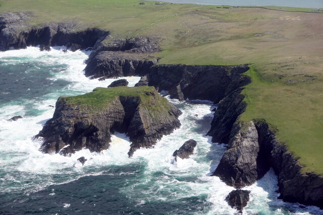
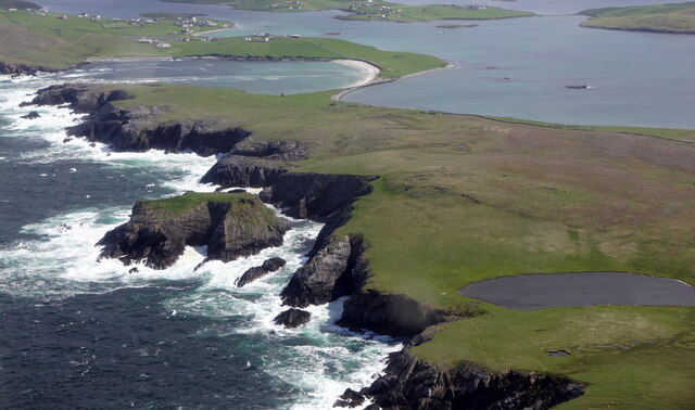
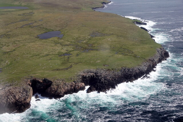
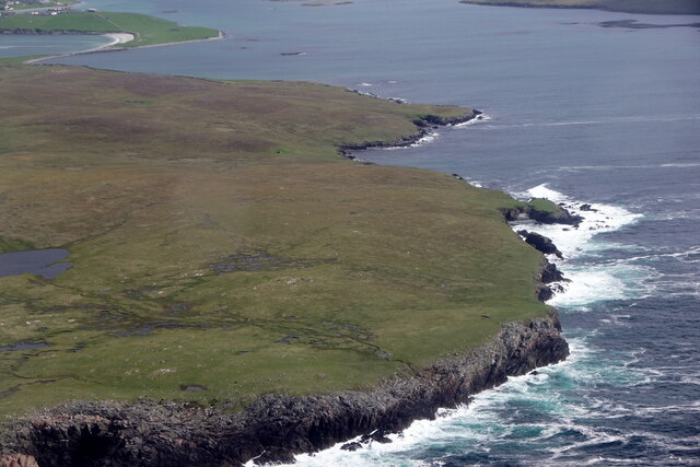
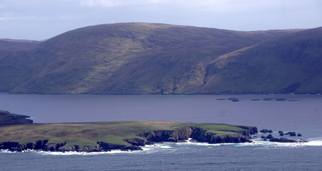
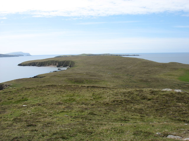
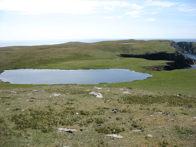
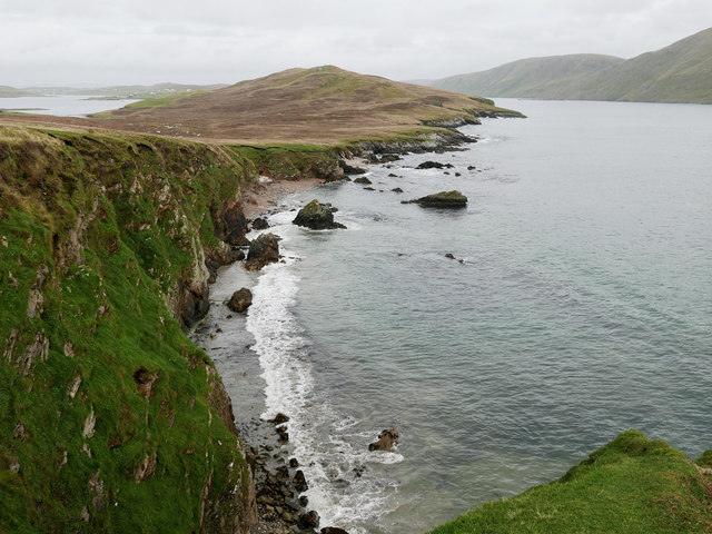
Point of Guide, located in Shetland, is a picturesque coastal marsh and saltings area that offers visitors a unique and diverse natural experience. Stretching along the coastline, this stunning landscape is characterized by its expansive marshlands and saltwater marshes, creating a haven for various species of flora and fauna.
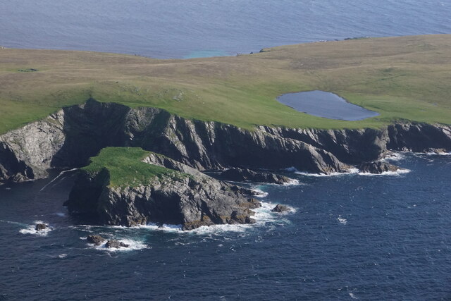
The marshland at Point of Guide is composed of a mixture of mudflats, salt marshes, and sand dunes, forming a dynamic ecosystem that supports a wide range of plant and animal life. The area is particularly noted for its rich birdlife, attracting numerous species of wading birds, waterfowl, and seabirds. Visitors can spot rare birds such as red-throated divers, Arctic terns, and oystercatchers, among others.
The coastal marsh at Point of Guide also serves as an important habitat for various plant species, including sea pink, thrift, and sea aster. These plants thrive in the sandy and saline conditions, adding vibrant colors and fragrances to the landscape.
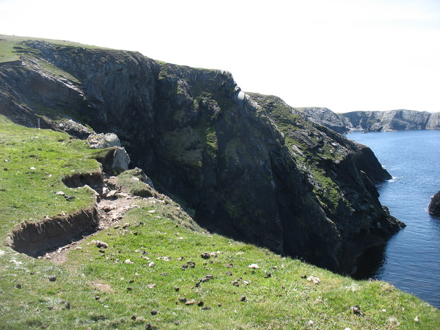
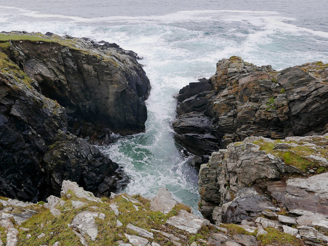
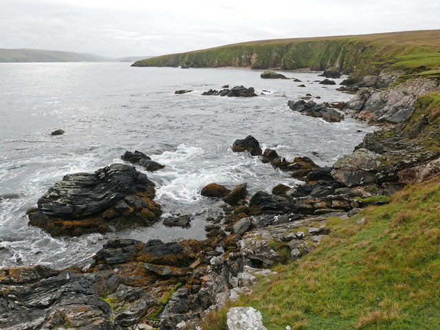
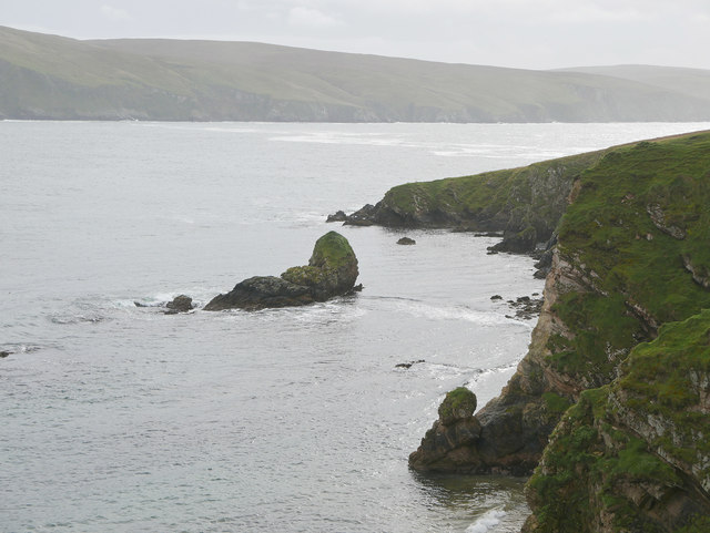
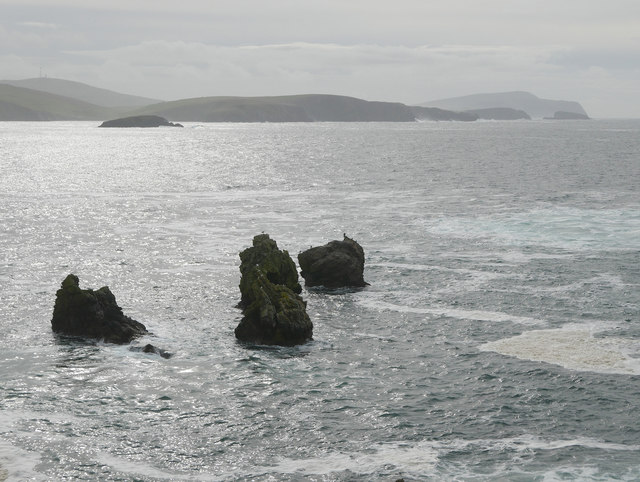
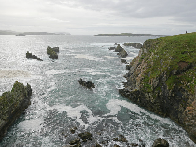
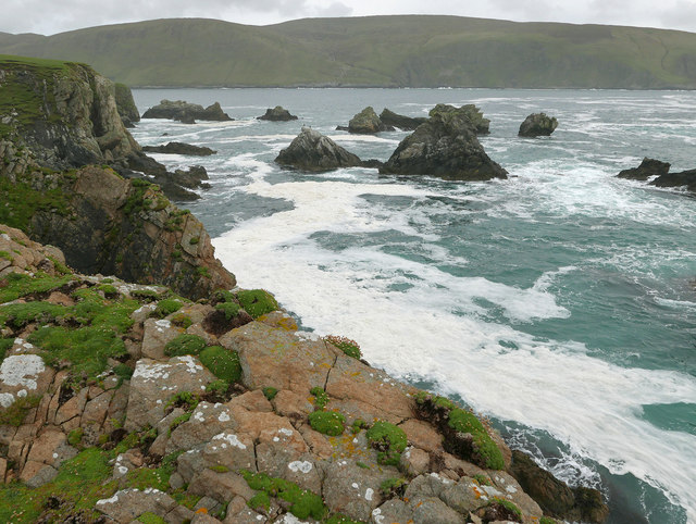
Aside from its ecological significance, Point of Guide offers visitors breathtaking panoramic views of the surrounding coastline and the North Sea. The rugged cliffs, sandy beaches, and crashing waves create a dramatic backdrop that is perfect for photography and nature enthusiasts.
Access to Point of Guide is relatively easy, with a well-maintained footpath leading visitors through the marshland and along the coast. Interpretive panels and signs provide educational information about the area's natural history, making it an ideal destination for those interested in learning more about the unique ecosystems of Shetland.
Overall, Point of Guide in Shetland is a must-visit location for nature lovers, offering a tranquil and diverse coastal marsh and saltings area that is teeming with wildlife and natural beauty.
If you have any feedback on the listing, please let us know in the comments section below.
Point of Guide Images
Images are sourced within 2km of 60.051488/-1.3481151 or Grid Reference HU3629. Thanks to Geograph Open Source API. All images are credited.


Point of Guide is located at Grid Ref: HU3629 (Lat: 60.051488, Lng: -1.3481151)
Unitary Authority: Shetland Islands
Police Authority: Highlands and Islands
What 3 Words
///porch.bound.signed. Near Sandwick, Shetland Islands
Nearby Locations
Related Wikis

West Burra
West Burra is one of the Scalloway Islands, a subgroup of the Shetland Islands in Scotland. It is connected by bridge to East Burra. With an area of 743...

Burra, Shetland
Burra (Old Norse: Barrey ) is the collective name for two of the Shetland Islands, West (pop. 753) and East Burra (pop. 66), which are connected by bridge...

South Havra
South Havra (Scots: Sooth Haevra; Old Norse: Hafrey), formerly Hevera, is an uninhabited island in the Scalloway Islands, Shetland, Scotland. == Geography... ==

Little Havra
Little Havra is a small island off the west of South Mainland in Shetland. It is 35 metres (115 ft) at its highest point, upon which there is a cairn....

Scalloway Islands
The Scalloway Islands are in Shetland opposite Scalloway on south west of the Mainland. They form a mini-archipelago and include: Burra (two islands linked...

South Mainland
The South Mainland of the Shetland Islands is the southern peninsula of Mainland island. It lies south of Hellister (60° 14′N). The greater southern part...
East Burra
East Burra (Scots: East Burra; Old Norse: "Barrey") is one of the Scalloway Islands, a subgroup of the Shetland Islands in Scotland. It is connected by...

Catpund
Catpund is a quarry site in Shetland, Scotland, where steatite vessels were cut from the rock from prehistory onwards. The quarrying marks are still visible...
Nearby Amenities
Located within 500m of 60.051488,-1.3481151Have you been to Point of Guide?
Leave your review of Point of Guide below (or comments, questions and feedback).