Bight of the Sandy Geos
Bay in Shetland
Scotland
Bight of the Sandy Geos
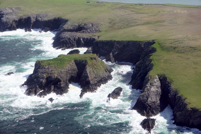
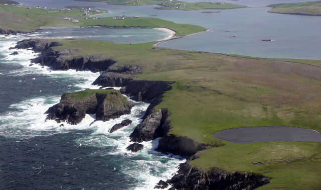
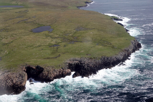
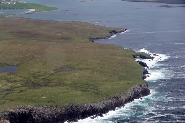
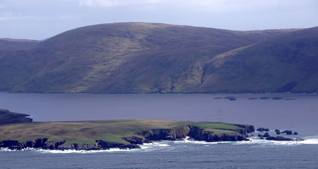
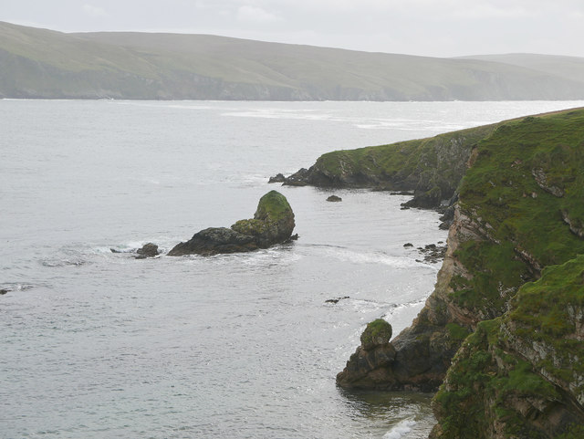
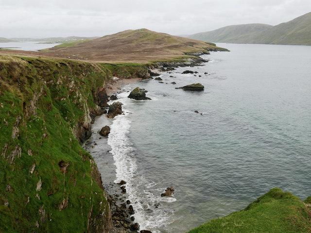
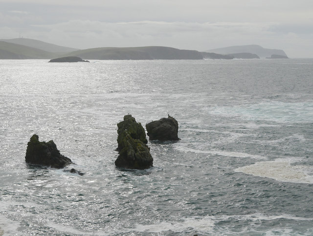
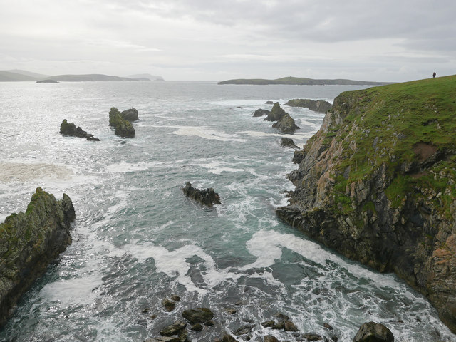
The Bight of the Sandy Geos is a picturesque bay located in the Shetland Islands, an archipelago in Scotland. Situated on the west coast of the main island, known as Mainland, the bay is known for its stunning natural beauty and tranquil atmosphere.
The bay is characterized by its sandy beaches, which are formed by the accumulation of sand and other sediments over time. These sandy shores attract visitors and locals alike, providing a perfect spot for relaxation and leisure activities such as sunbathing, picnicking, and beachcombing.
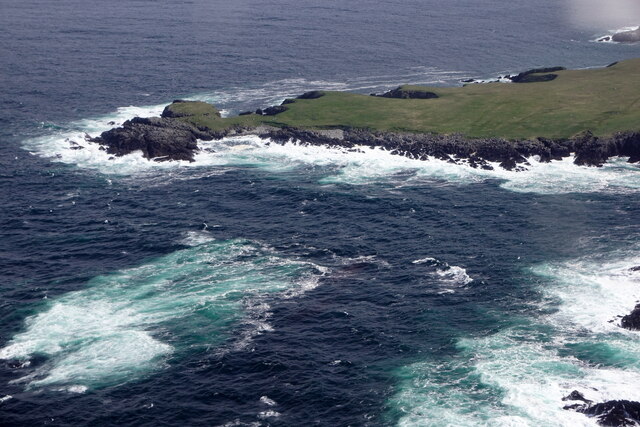
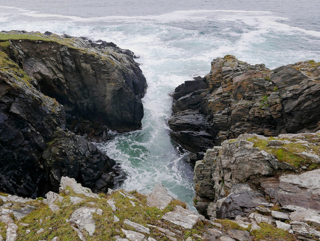
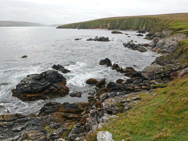
The Bight of the Sandy Geos is also renowned for its clear and pristine waters, making it a popular destination for swimming and water sports enthusiasts. The bay offers an ideal environment for snorkeling and diving, with its diverse marine life and underwater rock formations.
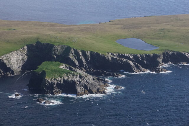
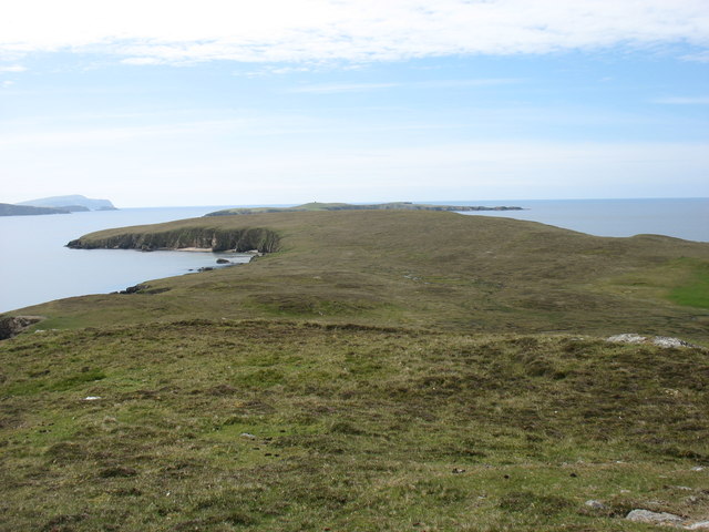
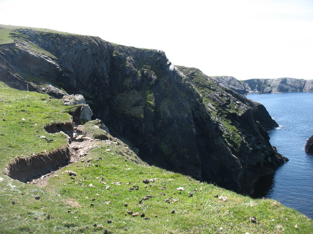
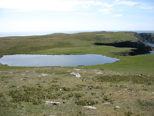
Surrounding the bay are majestic cliffs and rolling green hills, providing a dramatic backdrop to the coastal scenery. The area is home to a variety of seabirds, including puffins, guillemots, and razorbills, making it a haven for birdwatchers and nature enthusiasts.
Access to the Bight of the Sandy Geos is relatively easy, with a nearby car park and footpath leading to the bay. Visitors can enjoy a leisurely stroll along the coastline, taking in the breathtaking views and immersing themselves in the serenity of the surroundings.
In summary, the Bight of the Sandy Geos in Shetland is a captivating bay offering sandy beaches, crystal-clear waters, and stunning natural landscapes. It is a haven for those seeking relaxation, outdoor activities, and a chance to connect with nature.
If you have any feedback on the listing, please let us know in the comments section below.
Bight of the Sandy Geos Images
Images are sourced within 2km of 60.046916/-1.3550276 or Grid Reference HU3629. Thanks to Geograph Open Source API. All images are credited.


Bight of the Sandy Geos is located at Grid Ref: HU3629 (Lat: 60.046916, Lng: -1.3550276)
Unitary Authority: Shetland Islands
Police Authority: Highlands and Islands
What 3 Words
///fended.perusing.pursuit. Near Sandwick, Shetland Islands
Nearby Locations
Related Wikis

South Havra
South Havra (Scots: Sooth Haevra; Old Norse: Hafrey), formerly Hevera, is an uninhabited island in the Scalloway Islands, Shetland, Scotland. == Geography... ==

Little Havra
Little Havra is a small island off the west of South Mainland in Shetland. It is 35 metres (115 ft) at its highest point, upon which there is a cairn....

West Burra
West Burra is one of the Scalloway Islands, a subgroup of the Shetland Islands in Scotland. It is connected by bridge to East Burra. With an area of 743...

Burra, Shetland
Burra (Old Norse: Barrey ) is the collective name for two of the Shetland Islands, West (pop. 753) and East Burra (pop. 66), which are connected by bridge...
Have you been to Bight of the Sandy Geos?
Leave your review of Bight of the Sandy Geos below (or comments, questions and feedback).