Lower Bog

Lake, Pool, Pond, Freshwater Marsh in Staffordshire South Staffordshire

England

Lower Bog

Ashwood Marina west of Kingswinford, Dudley The Staffordshire and Worcestershire Canal was opened in 1772, engineered by James Brindley. It cost a little over £100,000 at the time. It links the River Severn at Stourport to the Trent and Mersey Canal at Great Haywood Junction in Staffordshire. There are 43 locks (45 if you don't fancy the deep wide locks at Stourport) and the canal is 46 miles in length.
Ashwood Marina west of Kingswinford, Dudley Credit: Roger Kidd

Lower Bog, located in Staffordshire, is a picturesque freshwater marsh that encompasses a sprawling area of serene beauty. Stretching across several acres, this natural marvel is a combination of a lake, pool, pond, and freshwater marsh, making it an ideal habitat for a diverse range of flora and fauna.

The main attraction of Lower Bog is its tranquil lake, which boasts crystal-clear waters reflecting the surrounding lush greenery. The lake is fed by numerous small streams that originate from nearby hills, ensuring a constant supply of freshwater. Its calm surface is often adorned with colorful water lilies, creating a stunning visual spectacle.

Surrounding the lake is a rich tapestry of vegetation, forming a unique ecosystem. The marshy areas are dominated by dense clusters of reeds and cattails, providing nesting grounds and shelter for various bird species. Visitors can often spot graceful herons, vibrant kingfishers, and a variety of ducks, all thriving in this idyllic environment.

The pool and pond within Lower Bog are equally captivating. The pool, located towards the eastern edge, is home to a host of aquatic plants and creatures, including frogs, newts, and dragonflies. The pond, on the other hand, offers a mesmerizing display of colorful water plants, such as water lilies and water hyacinths, attracting an array of insects and small mammals.

Lower Bog is not only a haven for wildlife but also a popular destination for nature enthusiasts. A network of well-maintained walking trails allows visitors to explore the diverse habitats, providing opportunities for birdwatching, photography, or simply enjoying the peaceful ambiance. With its natural beauty and abundant biodiversity, Lower Bog is a true gem of Staffordshire, offering a delightful escape into the heart of nature.

If you have any feedback on the listing, please let us know in the comments section below.
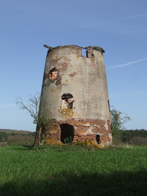
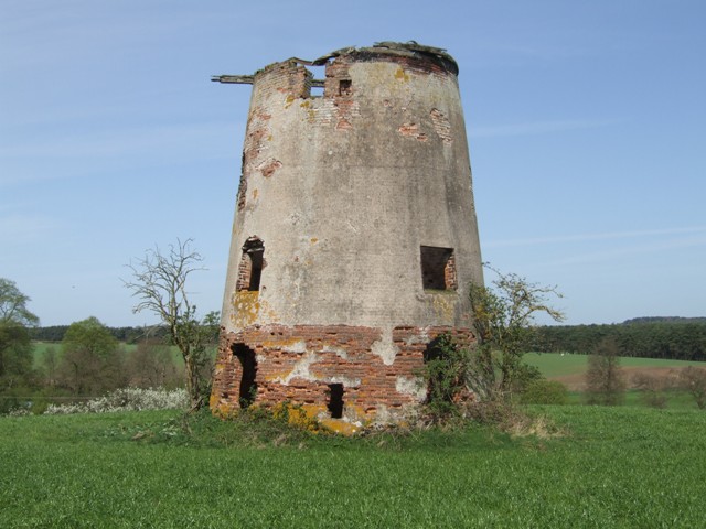
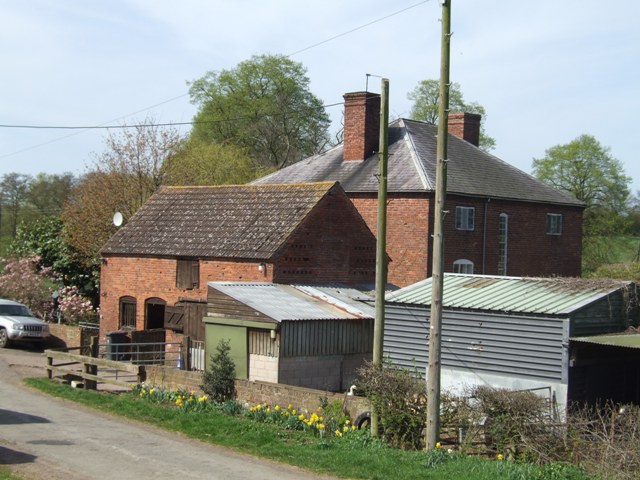
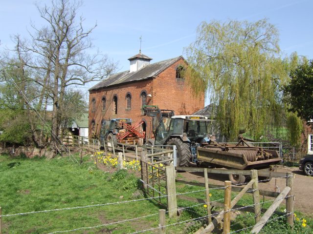
Lower Bog Images

Images are sourced within 2km of 52.484712/-2.2091345 or Grid Reference SO8587. Thanks to Geograph Open Source API. All images are credited.

Ashwood Marina west of Kingswinford, Dudley The Staffordshire and Worcestershire Canal was opened in 1772, engineered by James Brindley. It cost a little over £100,000 at the time. It links the River Severn at Stourport to the Trent and Mersey Canal at Great Haywood Junction in Staffordshire. There are 43 locks (45 if you don't fancy the deep wide locks at Stourport) and the canal is 46 miles in length.
Ashwood Marina west of Kingswinford, Dudley
The Staffordshire and Worcestershire Canal was opened in 1772, engineered by James Brindley. It cost a little over £100,000 at the time. It links the River Severn at Stourport to the Trent and Mersey Canal at Great Haywood Junction in Staffordshire. There are 43 locks (45 if you don't fancy the deep wide locks at Stourport) and the canal is 46 miles in length.
Ashwood Marina north of Stourton in Staffordshire The Staffordshire and Worcestershire Canal was opened in 1772, engineered by James Brindley. It cost a little over £100,000 at the time. It links the River Severn at Stourport to the Trent and Mersey Canal at Great Haywood Junction in Staffordshire. There are 43 locks (45 if you don't fancy the deep wide locks at Stourport) and the canal is 46 miles in length.
Ashwood Marina north of Stourton in Staffordshire
The Staffordshire and Worcestershire Canal was opened in 1772, engineered by James Brindley. It cost a little over £100,000 at the time. It links the River Severn at Stourport to the Trent and Mersey Canal at Great Haywood Junction in Staffordshire. There are 43 locks (45 if you don't fancy the deep wide locks at Stourport) and the canal is 46 miles in length.
Canal near Ashwood in Staffordshire Looking south-east as the Staffordshire and Worcestershire Canal meanders towards Stourton. The extensive (and excellent) Ashwood Nurseries and garden centre are behind the trees, off to the left.
Canal near Ashwood in Staffordshire
Looking south-east as the Staffordshire and Worcestershire Canal meanders towards Stourton. The extensive (and excellent) Ashwood Nurseries and garden centre are behind the trees, off to the left.
Canal south of Ashwood in Staffordshire Looking south-east as the Staffordshire and Worcestershire Canal meanders towards Stourton. The extensive (and excellent) Ashwood Nurseries and garden centre are behind the trees, off to the left.
Canal south of Ashwood in Staffordshire
Looking south-east as the Staffordshire and Worcestershire Canal meanders towards Stourton. The extensive (and excellent) Ashwood Nurseries and garden centre are behind the trees, off to the left.
Moored narrowboats near Ashwood in Staffordshire Later the private mooring facilities were developed further and named Wimsey Wharf.
Moored narrowboats near Ashwood in Staffordshire
Later the private mooring facilities were developed further and named Wimsey Wharf.
Narrowboat at Rocky Lock near Ashwood in Staffordshire The Staffordshire and Worcestershire Canal was opened in 1772, engineered by James Brindley. It cost a little over £100,000 at the time. It links the River Severn at Stourport to the Trent and Mersey Canal at Great Haywood Junction in Staffordshire. There are 43 locks (45 if you don't fancy the deep wide locks at Stourport) and the canal is 46 miles in length.
Narrowboat at Rocky Lock near Ashwood in Staffordshire
The Staffordshire and Worcestershire Canal was opened in 1772, engineered by James Brindley. It cost a little over £100,000 at the time. It links the River Severn at Stourport to the Trent and Mersey Canal at Great Haywood Junction in Staffordshire. There are 43 locks (45 if you don't fancy the deep wide locks at Stourport) and the canal is 46 miles in length.
Narrowboat leaving Rocky Lock near Ashwood, Staffordshire
Sandstone exposure north of Stourton Junction in Staffordshire Abouta hundred metres west-north-west of Stour Aqueuct, by the Devil's Den cave, the Staffordshire and Worcestershire Canal is cut into the bedrock. This used be known as the Bunter Pebble Beds but is now classed as Triassic (Kidderminster Formation) sandstone.
Sandstone exposure north of Stourton Junction in Staffordshire
Abouta hundred metres west-north-west of Stour Aqueuct, by the Devil's Den cave, the Staffordshire and Worcestershire Canal is cut into the bedrock. This used be known as the Bunter Pebble Beds but is now classed as Triassic (Kidderminster Formation) sandstone.
Pasture by the River Stour near Stourton, Staffordshire Looking north-north-east from the Staffordshire and Worcestershire Canal aqueduct.
Pasture by the River Stour near Stourton, Staffordshire
Looking north-north-east from the Staffordshire and Worcestershire Canal aqueduct.
Farmland by the River Stour aqueduct near Stourton Looking north-east from the Staffordshire and Worcestershire Canal aqueduct near Stourton in Staffordshire.
Farmland by the River Stour aqueduct near Stourton
Looking north-east from the Staffordshire and Worcestershire Canal aqueduct near Stourton in Staffordshire.
Enville windmill The tower mill on the edge of Enville Common built in 1800-1801 remained in use until 1870. The mill had four sails, boat cap and fantail. Little remains inside the shell except for sections of the turning ring for the boat cap. 

See <span class="nowrap"><a title="http://www.search.staffspasttrack.org.uk/engine/resource/default.asp?resource=11298" rel="nofollow ugc noopener" href="http://www.search.staffspasttrack.org.uk/engine/resource/default.asp?resource=11298">Link</a><img style="margin-left:2px;" alt="External link" title="External link - shift click to open in new window" src="https://s1.geograph.org.uk/img/external.png" width="10" height="10"/></span>
Enville windmill
The tower mill on the edge of Enville Common built in 1800-1801 remained in use until 1870. The mill had four sails, boat cap and fantail. Little remains inside the shell except for sections of the turning ring for the boat cap. See LinkExternal link
Enville windmill The tower mill on the edge of Enville Common built in 1800-1801 remained in use until 1870. The mill had four sails, boat cap and fantail. Little remains inside the shell except for sections of the turning ring for the boat cap. 

<span class="nowrap"><a title="http://www.search.staffspasttrack.org.uk/engine/resource/default.asp?resource=11298" rel="nofollow ugc noopener" href="http://www.search.staffspasttrack.org.uk/engine/resource/default.asp?resource=11298">Link</a><img style="margin-left:2px;" alt="External link" title="External link - shift click to open in new window" src="https://s1.geograph.org.uk/img/external.png" width="10" height="10"/></span>
Enville windmill
The tower mill on the edge of Enville Common built in 1800-1801 remained in use until 1870. The mill had four sails, boat cap and fantail. Little remains inside the shell except for sections of the turning ring for the boat cap. LinkExternal link
Mill farm Estate farm in Mill Lane.
Mill farm
Estate farm in Mill Lane.
Spittlebrook Mill Estate property on the Enville Estate.
Spittlebrook Mill
Estate property on the Enville Estate.
Cave at Prestwood near Stourton, Staffordshire This cave in the Triassic sandstone is on land belonging to Prestwood Cave Nursery. The nursery grows a limited range of hardy shrubs and other plants. Quality is high, and the prices are very reasonable. The hard winter of 2010-2011 killed many plants in nurseries all over the West Midlands, but enough remains here to continue trading.
Cave at Prestwood near Stourton, Staffordshire
This cave in the Triassic sandstone is on land belonging to Prestwood Cave Nursery. The nursery grows a limited range of hardy shrubs and other plants. Quality is high, and the prices are very reasonable. The hard winter of 2010-2011 killed many plants in nurseries all over the West Midlands, but enough remains here to continue trading.
Prestwood Cave Nursery near Stourton, Staffordshire The nursery grows a limited range of hardy shrubs and other plants. Quality is high, and the prices are very reasonable. The hard winter of 2010-2011 killed many plants in nurseries all over the West Midlands, but enough remains here to continue trading.
Prestwood Cave Nursery near Stourton, Staffordshire
The nursery grows a limited range of hardy shrubs and other plants. Quality is high, and the prices are very reasonable. The hard winter of 2010-2011 killed many plants in nurseries all over the West Midlands, but enough remains here to continue trading.
Bridleway near Stourton, Staffordshire The bridleway links Wolverhampton Road (A449) at Prestwood with Greensforge Lane and Gothersley Farm.
Bridleway near Stourton, Staffordshire
The bridleway links Wolverhampton Road (A449) at Prestwood with Greensforge Lane and Gothersley Farm.
Show me another place!

Lower Bog is located at Grid Ref: SO8587 (Lat: 52.484712, Lng: -2.2091345)

Administrative County: Staffordshire

District: South Staffordshire

Police Authority: Staffordshire

What 3 Words

///befitting.ocean.store. Near Kingswinford, West Midlands

Related Wikis

Ashwood, Staffordshire

Ashwood is a small area of Staffordshire, England. It is situated in the South Staffordshire district, approximately two miles west of the West Midlands...

Greensforge

Greensforge is a scattered hamlet on the boundary of Kinver and Swindon parishes, in South Staffordshire, England. It is noted for its Roman associations...

Prestwood (Kinver)

Prestwood is a hamlet now in the parish of Kinver, but in the Kingswinford until the creation of Brierley Hill Urban District in the 1930s. == History... ==

Smestow Brook

The Smestow Brook, sometimes called the River Smestow, is a small river that plays an important part in the drainage of Wolverhampton, South Staffordshire...

Summerhill School, Kingswinford

Summerhill School is a mixed community secondary school located in Kingswinford, West Midlands, England. == History == The school was built by Brierley...

Stourton, Staffordshire

Stourton is a hamlet in Staffordshire, England a few miles to the northwest of Stourbridge. There is a fair amount of dispute over the pronunciation, being...

Kingswinford Rural District

Kingswinford Rural District was a rural district in Staffordshire, England from 1894 to 1934. It was created by the Local Government Act 1894, and originally...

Wall Heath

Wall Heath is a suburban village in the Dudley Metropolitan Borough in the West Midlands of England. It is located on the A449 road, approximately 1.5...

Nearby Amenities

Located within 500m of 52.484712,-2.2091345
Seamark Type: gate
Source: survey
Waterway: lock_gate
Lat/Long: 52.4823275/-2.2031158
Seamark Type: gate
Waterway: lock_gate
Lat/Long: 52.4851032/-2.2018121
Power: tower
Lat/Long: 52.4826644/-2.2153274
Power: tower
Lat/Long: 52.4844505/-2.2125134
Power: tower
Lat/Long: 52.4862513/-2.2109394
Power: tower
Lat/Long: 52.4872417/-2.2101328
Power: tower
Lat/Long: 52.4883855/-2.2091682
The data included in this document is from www.openstreetmap.org. The data is made available under ODbL.

Have you been to Lower Bog?

Leave your review of Lower Bog below (or comments, questions and feedback).