Whickning Bog
Coastal Marsh, Saltings in Northumberland
England
Whickning Bog

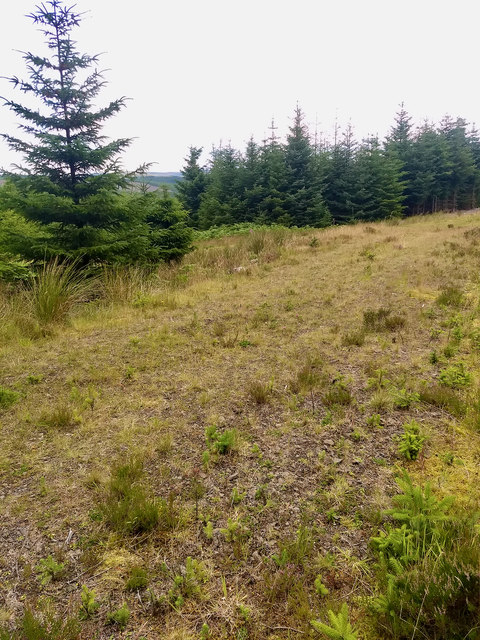
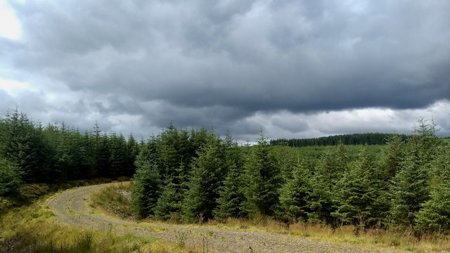
Whickning Bog, located in Northumberland, is a coastal marsh and saltings area that provides a unique and diverse ecosystem. Covering an area of approximately 300 hectares, Whickning Bog is situated on the eastern coast of England, between the towns of Blyth and Seaton Sluice.
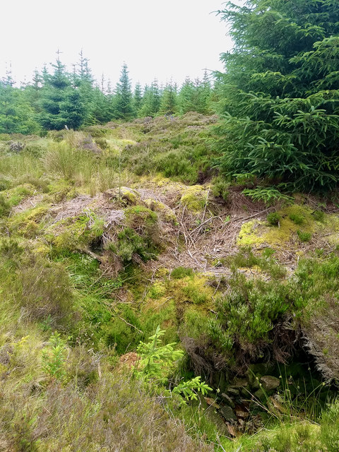
The bog is characterized by its low-lying, waterlogged terrain, which is primarily composed of peat. It is fed by freshwater streams that drain into the North Sea, creating a brackish environment that is home to a wide range of plant and animal species.
The vegetation in Whickning Bog is incredibly varied, with salt-tolerant plants dominating the saltings and more traditional marsh plants thriving in the freshwater areas. Common plant species found in the bog include sea lavender, cordgrass, sea aster, and reeds.
The wetland provides an important habitat for numerous bird species, making it a popular destination for birdwatchers. Visitors may spot birds such as curlews, oystercatchers, redshanks, and various types of gulls. Additionally, the bog is known for its diverse insect population, attracting dragonflies, butterflies, and damselflies.
Whickning Bog is also home to a variety of mammals, including water voles, otters, and brown hares. The marshes and surrounding areas offer an abundance of food and shelter for these creatures.
Due to its ecological significance, Whickning Bog has been designated as a Site of Special Scientific Interest (SSSI) and is managed by conservation organizations. The bog provides an important breeding ground for many species and plays a vital role in maintaining the overall biodiversity of the region.
If you have any feedback on the listing, please let us know in the comments section below.
Whickning Bog Images
Images are sourced within 2km of 55.272578/-2.4126045 or Grid Reference NY7397. Thanks to Geograph Open Source API. All images are credited.


Whickning Bog is located at Grid Ref: NY7397 (Lat: 55.272578, Lng: -2.4126045)
Unitary Authority: Northumberland
Police Authority: Northumbria
What 3 Words
///carbonate.typified.makeup. Near Rochester, Northumberland
Nearby Locations
Related Wikis

Kielderhead and Emblehope Moors
Kielderhead and Emblehope Moors are contiguous areas of moorland in northern Northumberland, England. A section of Kielderhead Moor is part of neighbouring...
Border Moors and Forests
Border Moors and Forests NCA is an upland plateau region in Northern England between the North East and North West regions, and touching the Anglo-Scottish...

Cottonshopeburnfoot
Cottonshopeburnfoot is a hamlet in Redesdale in Northumberland, England. It lies on the A68 road, 2 miles south east of the village of Byrness. The hamlet...
Byrness
Byrness is a village within Rochester civil parish in Northumberland, England. It is approximately 37 miles (60 km) north-west of Newcastle upon Tyne on...

A68 road
The A68 is a major road in the United Kingdom, running from Darlington in England to the A720 in Edinburgh, the capital of Scotland. It crosses the Anglo...
Ramshope
Ramshope is a hamlet and former civil parish, now in the parish of Rochester in Northumberland, England located in Northumberland National Park. It lies...

Whitelee Moor
Whitelee Moor is nature reserve of the Northumberland Wildlife Trust, in Northumberland, England, near Carter Bar. A large part of the moor is blanket...

Black Middens Bastle House
Black Middens Bastle House lies about 7 miles (11 km) northwest of Bellingham, Northumberland. It is a two-storey fortified stone farmhouse from the 16th...
Have you been to Whickning Bog?
Leave your review of Whickning Bog below (or comments, questions and feedback).