Backland

Coastal Marsh, Saltings in Orkney

Scotland

Backland

Newark Bay, Deerness, from the air
Newark Bay, Deerness, from the air Credit: Mike Pennington

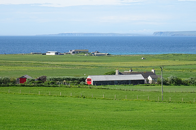
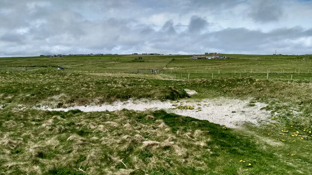
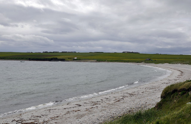
Backland, Orkney is a coastal marsh and saltings region located in the Orkney Islands, Scotland. This unique area is characterized by its diverse ecosystem and stunning natural beauty. The marshland stretches along the coastline, encompassing a vast expanse of wetlands, salt marshes, and tidal flats.

The marshland of Backland is home to a wide variety of plant and animal species, making it an important site for biodiversity. The saltwater that floods the marshes during high tide creates a brackish environment, which supports the growth of salt-tolerant plants such as sea aster, sea lavender, and sea purslane. These plants provide crucial habitats and food sources for numerous bird species, including wading birds and waterfowl.

The marshes of Backland also serve as a vital stopover site for migratory birds during their long journeys. Species such as dunlin, redshank, and curlew can be spotted here, taking advantage of the rich feeding grounds and sheltered habitats.

Furthermore, the marshland plays a crucial role in protecting the coastline from erosion and acts as a natural buffer against storm surges. The salt marshes act as a barrier, absorbing wave energy and reducing the impact of high tides on the surrounding land.

Backland, Orkney is not only a haven for wildlife but also a popular destination for nature enthusiasts and birdwatchers. Its picturesque landscapes, tranquil atmosphere, and abundant wildlife make it an ideal spot for exploring and appreciating the wonders of the natural world.

If you have any feedback on the listing, please let us know in the comments section below.
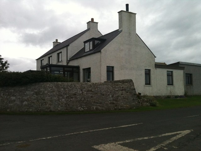
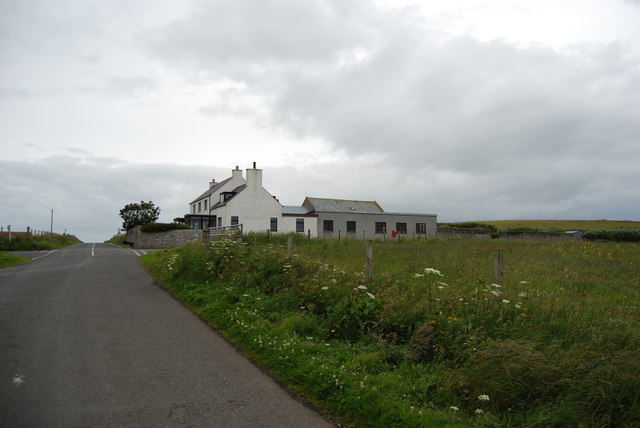
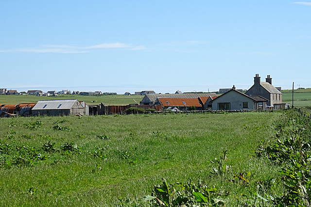
Backland Images

Images are sourced within 2km of 58.921245/-2.7359061 or Grid Reference HY5704. Thanks to Geograph Open Source API. All images are credited.

Newark Bay, Deerness, from the air
Point of Ayre Windfarm from the sea Taken from the Aberdeen-Orkney-Shetland ferry several km to the NE.
Point of Ayre Windfarm from the sea
Taken from the Aberdeen-Orkney-Shetland ferry several km to the NE.
Deerness, Orkney Mainland
New Lighthouse, Deerness, Orkney Mainland
Red Door at Colster A long barn at Colster has a smart new red door. I think the more distant farm is Newark, and in the far distance is South Ronaldsay.
Red Door at Colster
A long barn at Colster has a smart new red door. I think the more distant farm is Newark, and in the far distance is South Ronaldsay.
Grindigarth New housing is springing up around Grindigarth, and with the foreshortening from the zoom lens it looks almost like a village.
Grindigarth
New housing is springing up around Grindigarth, and with the foreshortening from the zoom lens it looks almost like a village.
Farmland on Deerness Several farms occupy this area of farmland at Deerness, mainly given over to livestock farming.
Farmland on Deerness
Several farms occupy this area of farmland at Deerness, mainly given over to livestock farming.
Quoys Houses and farm sheds at Quoys, with other Deerness farms in the background.
Quoys
Houses and farm sheds at Quoys, with other Deerness farms in the background.
Deerness Grazing Land A small flock of sheep in one of many small fields on Deerness.
Deerness Grazing Land
A small flock of sheep in one of many small fields on Deerness.
Newton The farm house and buildings at Newton stand high up on a gentle ridge.
Newton
The farm house and buildings at Newton stand high up on a gentle ridge.
View towards Quoys
View towards Quoys
Deerness Community Centre Public hall facility serving the Deerness peninsula.
Deerness Community Centre
Public hall facility serving the Deerness peninsula.
Breck, Deerness A dead end road on the east side of Deerness heading past the farmstead at Breck towards the coast.
Breck, Deerness
A dead end road on the east side of Deerness heading past the farmstead at Breck towards the coast.
Newark Bay South facing beach on the eastern side of the Deerness peninsula.
Newark Bay
South facing beach on the eastern side of the Deerness peninsula.
Wind turbines on Ness of Ayre
Beach at Newark Bay View of the beach from the path by the car park.
Beach at Newark Bay
View of the beach from the path by the car park.
Stones at Newark Stones on the beach at Newark Bay.
Stones at Newark
Stones on the beach at Newark Bay.
Show me another place!

Backland is located at Grid Ref: HY5704 (Lat: 58.921245, Lng: -2.7359061)

Unitary Authority: Orkney Islands

Police Authority: Highlands and Islands

What 3 Words

///newer.aimlessly.reaction. Near Deerness, Orkney Islands

Related Wikis

Point of Ayre, Orkney

There are also two similarly named points in the British Isles: Point of Ayre, Isle of Man and Point of Ayr, Wales.Point of Ayre is a headland in the parish...

Black Holm

Black Holm is a small tidal island in the Orkney Islands, near Copinsay to the west of Corn Holm off the north-eastern coast of Scotland. == Geography... ==

Deerness

Deerness (, locally , Old Norse: Dyrnes) is a quoad sacra parish (i.e. one created and functioning for ecclesiastical purposes only) and peninsula in Mainland...

St Peter's Pool, Orkney

St Peter's Pool is a bay in the East Mainland of Orkney, Scotland. This bay was the site of significant coastal defences during World War II, when a German...

Nearby Amenities

Located within 500m of 58.921245,-2.7359061
Description: Burial Ground (Early Medieval), Carved Stone (Pictish), Chapel (10th Century), Lairds House (16th Century), Souterrain(S) (Prehistoric)
Historic: Newark_Burial_Ground_(Early_Medieval)
Lat/Long: 58.9224252/-2.7403688
Power: pole
Lat/Long: 58.9239533/-2.7407101
The data included in this document is from www.openstreetmap.org. The data is made available under ODbL.

Have you been to Backland?

Leave your review of Backland below (or comments, questions and feedback).