Beacon Sand

Coastal Marsh, Saltings in Gloucestershire Forest of Dean

England

Beacon Sand

A48 at Stroat Looking north-east towards Lydney and Gloucester.
A48 at Stroat Credit: Jonathan Billinger

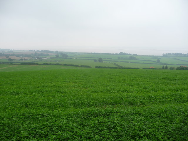
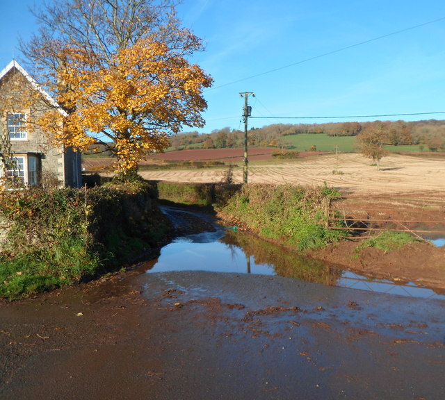
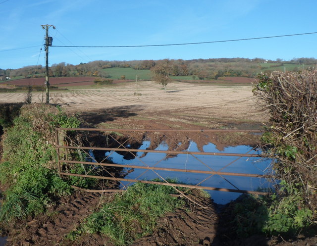
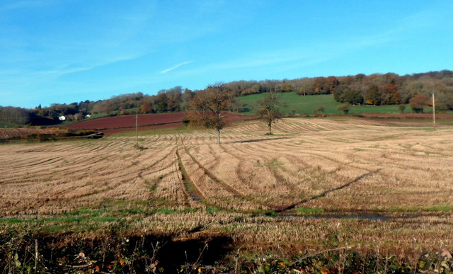
Beacon Sand is a coastal marsh located in Gloucestershire, England. It is situated within the wider area known as the Severn Estuary, which is renowned for its rich biodiversity and unique ecological features. This particular marshland is characterized by its vast expanse of sandy terrain, giving it the name "Beacon Sand."

The marsh is primarily dominated by salt-tolerant vegetation, such as saltmarsh grasses and samphire, which thrive in the saline conditions. These plants play a vital role in stabilizing the sand and preventing erosion, as well as providing habitat and food sources for various bird species and other wildlife. The area is particularly noted for its importance as a breeding ground for wading birds, including redshanks, lapwings, and curlews.

Beacon Sand is also significant for its geological features. The sand found here is composed of fine grains, which have been deposited by the tidal movements of the Severn Estuary. This dynamic natural process has shaped the landscape over time, creating dunes and sandbanks that provide additional habitat for a diverse range of plant and animal species.

Visitors to Beacon Sand can enjoy the peaceful and serene surroundings, taking in the scenic beauty and observing the abundant wildlife. The marshland offers opportunities for birdwatching, nature walks, and photography, allowing enthusiasts to appreciate the unique ecological characteristics and natural heritage of this coastal area.

Overall, Beacon Sand in Gloucestershire is a valuable and fragile ecosystem, providing a habitat for various plant and animal species and contributing to the overall biodiversity of the Severn Estuary.

If you have any feedback on the listing, please let us know in the comments section below.
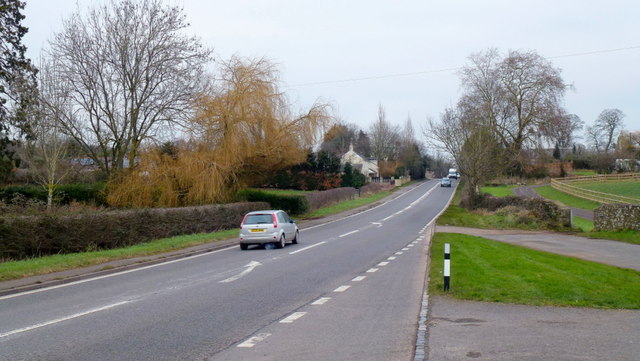
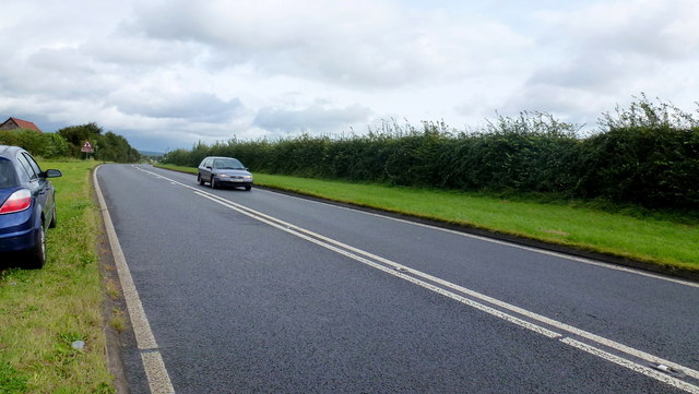
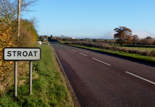
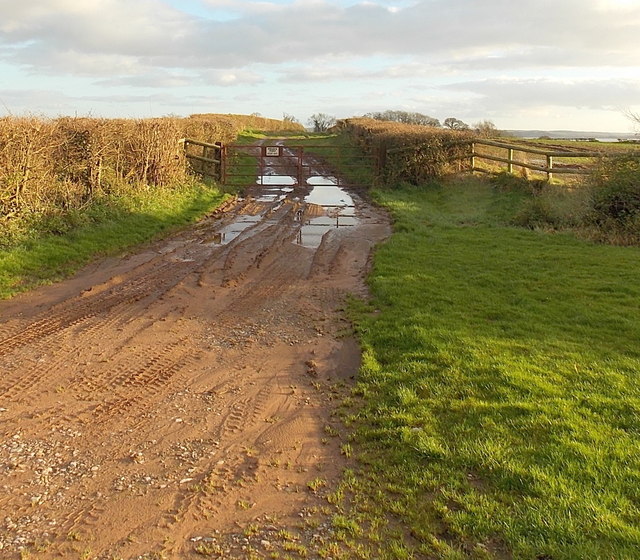
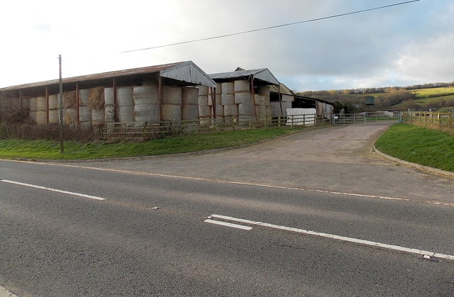
Beacon Sand Images

Images are sourced within 2km of 51.662592/-2.6129017 or Grid Reference ST5796. Thanks to Geograph Open Source API. All images are credited.

A48 at Stroat Looking north-east towards Lydney and Gloucester.
A48 at Stroat
Looking north-east towards Lydney and Gloucester.
View to the Severn from a field near Boughspring Not the clearest conditions (a few overnight showers have made for a cloudy, muggy start to the day) but the sandbanks are just visible.
View to the Severn from a field near Boughspring
Not the clearest conditions (a few overnight showers have made for a cloudy, muggy start to the day) but the sandbanks are just visible.
A48 towards Lydney The 100m or so of road within this gridsquare is laid out before the camera.
A48 towards Lydney
The 100m or so of road within this gridsquare is laid out before the camera.
SW boundary of Stroat The A48 between Chepstow and Lydney reaches the SW edge of the Gloucestershire hamlet of Stroat.
SW boundary of Stroat
The A48 between Chepstow and Lydney reaches the SW edge of the Gloucestershire hamlet of Stroat.
Stroat layby This 200-metre long layby is adjacent to Hanley Court in the SW of Stroat, Gloucestershire.
It is alongside the A48. Lydney is about 6 miles ahead. Chepstow is about 3 miles behind the camera.
Stroat layby
This 200-metre long layby is adjacent to Hanley Court in the SW of Stroat, Gloucestershire. It is alongside the A48. Lydney is about 6 miles ahead. Chepstow is about 3 miles behind the camera.
Hanley Court Business Centre, Stroat Located on the north side of the A48, about 6 miles from Lydney and 3 miles from Chepstow. Opened in 2008, Hanley Court Business Centre provides modern business accommodation in a secure environment with active management from the on-site team. There are also conference and meeting rooms available for hire.
Hanley Court Business Centre, Stroat
Located on the north side of the A48, about 6 miles from Lydney and 3 miles from Chepstow. Opened in 2008, Hanley Court Business Centre provides modern business accommodation in a secure environment with active management from the on-site team. There are also conference and meeting rooms available for hire.
Half a side wall, Hanley Court, Stroat Is this stone building in a fenced-off area next to 
Hanley Court Business Centre <a title="https://www.geograph.org.uk/photo/3230187" href="https://www.geograph.org.uk/photo/3230187">Link</a> being demolished or repaired?
Half a side wall, Hanley Court, Stroat
Is this stone building in a fenced-off area next to Hanley Court Business Centre Link being demolished or repaired?
Hanley House, Stroat Former farmhouse, converted into flats. Located alongside the A48, about 6 miles from Lydney and 3 miles from Chepstow. Hanley Court Business Centre <a title="https://www.geograph.org.uk/photo/3230187" href="https://www.geograph.org.uk/photo/3230187">Link</a> is nearby.
Hanley House, Stroat
Former farmhouse, converted into flats. Located alongside the A48, about 6 miles from Lydney and 3 miles from Chepstow. Hanley Court Business Centre Link is nearby.
Surface water on Hanley Lane, Stroat Viewed from the edge of the A48. Hanley House <a title="https://www.geograph.org.uk/photo/3230220" href="https://www.geograph.org.uk/photo/3230220">Link</a> is on the left.
There is also surface water <a title="https://www.geograph.org.uk/photo/3230236" href="https://www.geograph.org.uk/photo/3230236">Link</a> at the field entrance just out of shot on the right.
Surface water on Hanley Lane, Stroat
Viewed from the edge of the A48. Hanley House Link is on the left. There is also surface water Link at the field entrance just out of shot on the right.
Flooded field entrance, Stroat The field entrance is alongside Hanley Lane, which also has standing water. <a title="https://www.geograph.org.uk/photo/3230232" href="https://www.geograph.org.uk/photo/3230232">Link</a>
Flooded field entrance, Stroat
The field entrance is alongside Hanley Lane, which also has standing water. Link
Stroat bus stop The bus stop on this side is for services from Lydney (about 6 miles away) towards Chepstow (about 3 miles ahead). Hanley Court Business Centre <a title="https://www.geograph.org.uk/photo/3230187" href="https://www.geograph.org.uk/photo/3230187">Link</a> is on the opposite side of the road, ahead.
Stroat bus stop
The bus stop on this side is for services from Lydney (about 6 miles away) towards Chepstow (about 3 miles ahead). Hanley Court Business Centre Link is on the opposite side of the road, ahead.
Mid November in rural Gloucestershire A view from the A48 in Stroat, near Hanley Lane. <a title="https://www.geograph.org.uk/photo/3230232" href="https://www.geograph.org.uk/photo/3230232">Link</a>
Mid November in rural Gloucestershire
A view from the A48 in Stroat, near Hanley Lane. Link
A48 at Severndale Farm
A48 at Wibdon
A48 at Wibdon
A48 at Stroat
A48 at Stroat
Wibdon Farm buildings, Wibdon Viewed across the A48 in Gloucestershire, between Chepstow and Lydney.
Wibdon Farm buildings, Wibdon
Viewed across the A48 in Gloucestershire, between Chepstow and Lydney.
Puddles at a gate to a private road opposite Wibdon Farm, Wibdon Viewed from the A48 opposite Wibdon Farm buildings. <a title="https://www.geograph.org.uk/photo/3278390" href="https://www.geograph.org.uk/photo/3278390">Link</a>
The notice on the gate shows PRIVATE ROAD KEEP OUT.
"Road" appears somewhat optimistic. "Track" would be a better description.
Puddles at a gate to a private road opposite Wibdon Farm, Wibdon
Viewed from the A48 opposite Wibdon Farm buildings. Link The notice on the gate shows PRIVATE ROAD KEEP OUT. "Road" appears somewhat optimistic. "Track" would be a better description.
A corner of Wibdon Farm, Wibdon Viewed across the A48 in Gloucestershire.
A corner of Wibdon Farm, Wibdon
Viewed across the A48 in Gloucestershire.
Show me another place!

Beacon Sand is located at Grid Ref: ST5796 (Lat: 51.662592, Lng: -2.6129017)

Administrative County: Gloucestershire

District: Forest of Dean

Police Authority: Gloucestershire

What 3 Words

///seatbelt.glaze.prance. Near Chepstow, Monmouthshire

Nearby Locations

Beacon Sand Waldings Pill

Related Wikis

Related Videos

Lancaut and Wintour's Leap

Never lost just temporarily displaced.

Tidenham Tunnel in 30 seconds

I recently passed through the tunnel on the way to a campsite. It was reopened to cyclists and walkers in 2021. For more details ...

Nearby Amenities

Located within 500m of 51.662592,-2.6129017
Source: PGS
Lat/Long: 51.6652861/-2.618426
Source: PGS
Lat/Long: 51.6652069/-2.6183411
Source: PGS
Lat/Long: 51.6656077/-2.6180696
Source: PGS
Lat/Long: 51.6659963/-2.6175286
Beacon Sand
Place: locality
Lat/Long: 51.6631346/-2.6129356
The data included in this document is from www.openstreetmap.org. The data is made available under ODbL.

Have you been to Beacon Sand?

Leave your review of Beacon Sand below (or comments, questions and feedback).