The Noust
Coastal Marsh, Saltings in Orkney
Scotland
The Noust
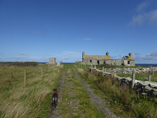
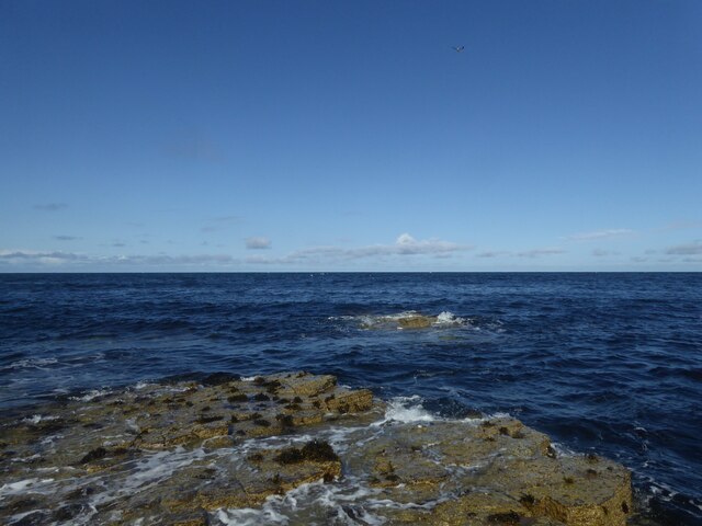
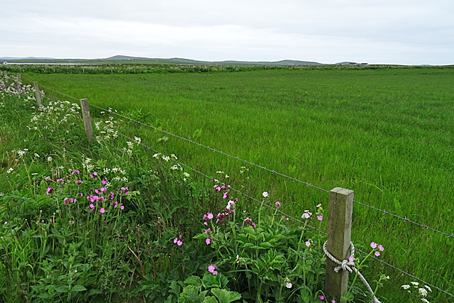
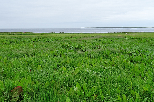
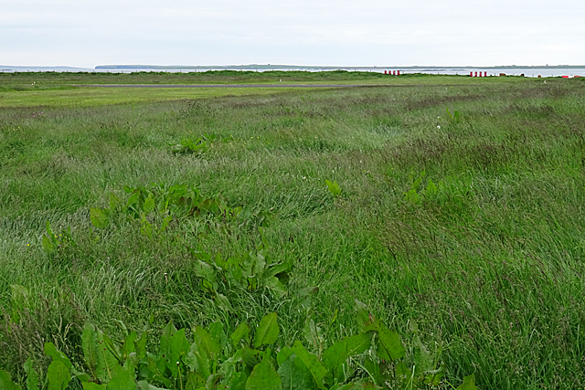
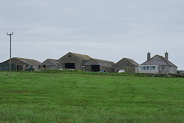
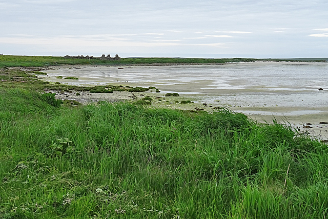
The Noust is a picturesque coastal marsh located in Orkney, Scotland. Nestled between the rugged cliffs and the North Sea, it is renowned for its stunning natural beauty and diverse wildlife. The marsh is characterized by its unique ecosystem, consisting of a complex network of saltwater channels, tidal creeks, and mud flats, collectively known as saltings.
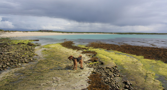
Covering an area of approximately 100 acres, The Noust is a haven for a wide range of plant and animal species. The marsh is particularly known for its abundance of birdlife, with numerous species making it their home or stopping by during their migratory journeys. Visitors can expect to spot a variety of wading birds, such as curlews, oystercatchers, and redshanks, as well as terns and gulls hovering above the estuary.
The saltmarsh vegetation in The Noust is equally impressive. The marsh is covered in a rich carpet of grasses, sedges, and herbs, which provide a vital habitat for numerous insects and invertebrates. The area is also home to rare plants such as sea aster and sea lavender, adding to its ecological significance.
The Noust offers visitors a chance to explore and experience the raw beauty of the Orkney coast. Walking along the marsh's well-maintained trails, visitors can enjoy breathtaking views of the surrounding cliffs, the expansive sea, and the ever-changing tides. The peace and tranquility of the marsh make it an ideal spot for nature lovers, birdwatchers, and photographers alike.
In summary, The Noust in Orkney is a stunning coastal marsh that offers a unique and diverse ecosystem. With its rich birdlife, saltmarsh vegetation, and breathtaking scenery, it is a must-visit destination for anyone seeking a true connection with nature.
If you have any feedback on the listing, please let us know in the comments section below.
The Noust Images
Images are sourced within 2km of 59.353359/-2.9513201 or Grid Reference HY4652. Thanks to Geograph Open Source API. All images are credited.


The Noust is located at Grid Ref: HY4652 (Lat: 59.353359, Lng: -2.9513201)
Unitary Authority: Orkney Islands
Police Authority: Highlands and Islands
What 3 Words
///twit.duke.excavate. Near Pierowall, Orkney Islands
Nearby Locations
Related Wikis
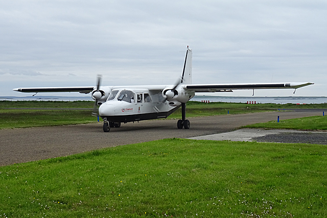
Westray Airport
Westray Airport (IATA: WRY, ICAO: EGEW) is an airport at Aikerness, on Westray in the Orkney Islands, Scotland. It is best known for being one of the two...

Quoygrew settlement, Westray
Quoygrew, Westray is the site of a medieval Norse settlement on the island of Westray in Orkney, Scotland. Established as a small farmstead most likely...

Knap of Howar
The Knap of Howar () on the island of Papa Westray in Orkney, Scotland is a Neolithic farmstead which may be the oldest preserved stone house in northern...

St Boniface's Church, Papa Westray
St Boniface's Church, Papa Westray is a historic church and graveyard located on the island of Papa Westray in Orkney, Scotland. The site of the church...
Nearby Amenities
Located within 500m of 59.353359,-2.9513201Have you been to The Noust?
Leave your review of The Noust below (or comments, questions and feedback).