Ince Banks

Coastal Marsh, Saltings in Cheshire

England

Ince Banks

Beacon 102, Manchester Ship Canal On the north bank, opposite Stanlow oil refinery. Beyond is Ince Banks and the Mersey estuary.
Beacon 102, Manchester Ship Canal Credit: Christine Johnstone

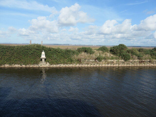
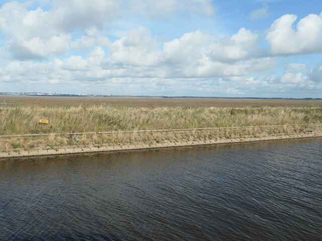
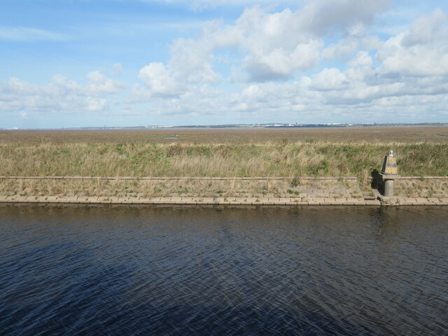
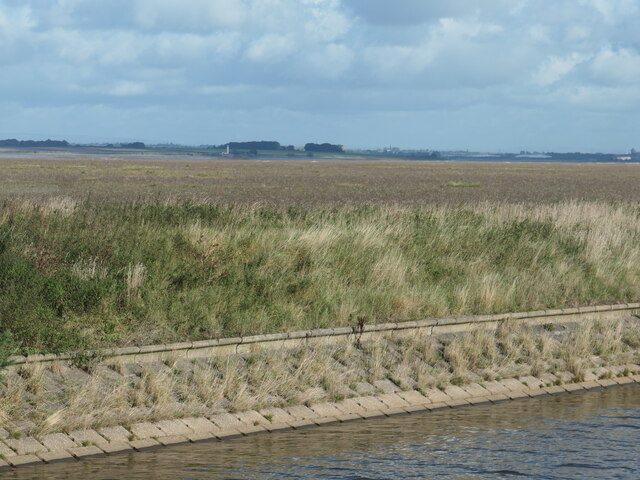
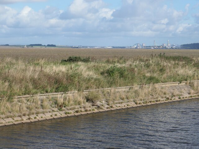
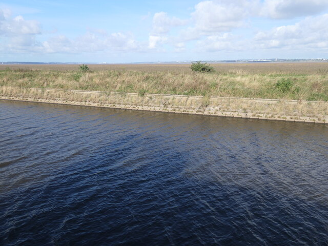
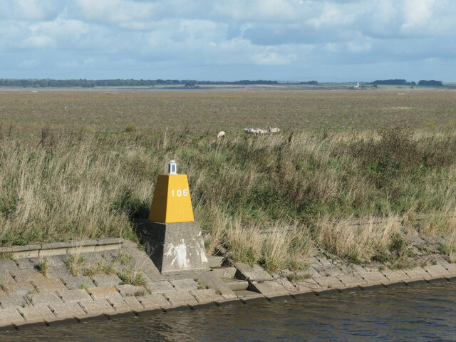
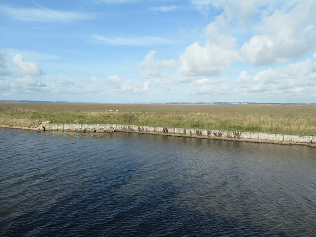
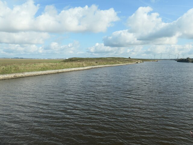
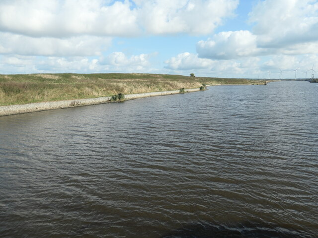
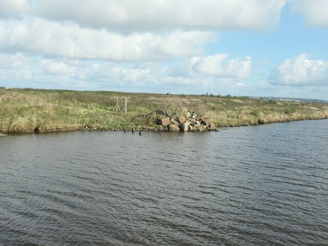
Ince Banks is a coastal marshland area located in Cheshire, England. It is situated along the banks of the River Mersey, near the town of Ellesmere Port. The area is known for its unique ecological features, including its saltmarshes and saltings.

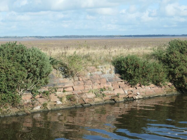
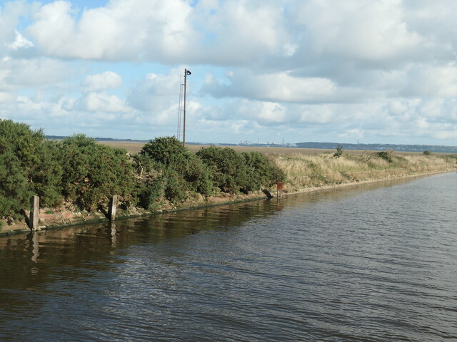
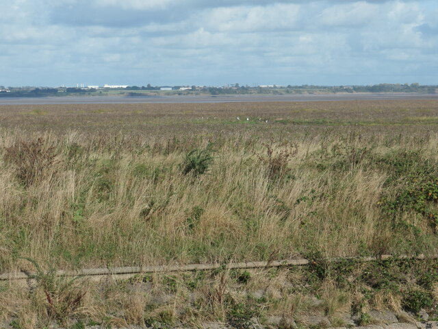
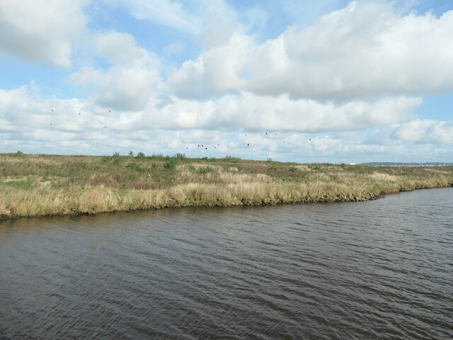
The marshland at Ince Banks is a low-lying area that is regularly flooded by the tides of the River Mersey. This creates a dynamic environment that is rich in nutrients and supports a diverse range of plant and animal species. The saltmarshes are characterized by their distinctive vegetation, which consists of salt-tolerant plants such as sea lavender, sea purslane, and samphire.

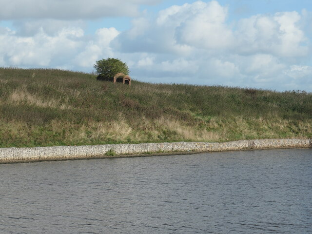
In addition to its ecological significance, Ince Banks also has historical importance. It was once a thriving salt-producing area and evidence of this industry can still be seen in the form of old salt pans and channels. The area was also a major shipping hub during the industrial revolution, with ships transporting goods such as coal, salt, and chemicals.

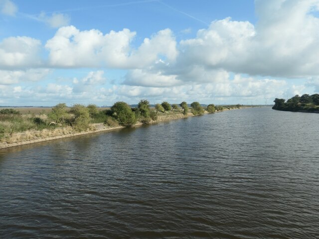
Today, Ince Banks is a popular destination for nature enthusiasts and birdwatchers. The marshland provides a habitat for a variety of bird species, including waders, ducks, and geese. Visitors can explore the area on foot, following the network of footpaths that wind through the marshes and offer stunning views of the surrounding landscape.

Overall, Ince Banks in Cheshire offers a unique and diverse natural environment, combining saltmarshes, historical remnants, and abundant wildlife. It is a place where both nature lovers and history enthusiasts can appreciate the beauty and significance of this coastal marshland.

If you have any feedback on the listing, please let us know in the comments section below.

Ince Banks Images

Images are sourced within 2km of 53.303826/-2.8306224 or Grid Reference SJ4478. Thanks to Geograph Open Source API. All images are credited.

Beacon 102, Manchester Ship Canal On the north bank, opposite Stanlow oil refinery. Beyond is Ince Banks and the Mersey estuary.
Beacon 102, Manchester Ship Canal
On the north bank, opposite Stanlow oil refinery. Beyond is Ince Banks and the Mersey estuary.
Ince Banks, Mersey estuary Beyond the Victorian sandstone masonry of the north bank of the Manchester Ship Canal.
Ince Banks, Mersey estuary
Beyond the Victorian sandstone masonry of the north bank of the Manchester Ship Canal.
Former semaphore signal, Manchester Ship Canal On the north bank, near Ince High Cutting.
Former semaphore signal, Manchester Ship Canal
On the north bank, near Ince High Cutting.
Egrets on Ince Banks, Mersey estuary Looking north from a steamship on the Manchester Ship Canal.
Egrets on Ince Banks, Mersey estuary
Looking north from a steamship on the Manchester Ship Canal.
Marker 305, Manchester Ship Canal Probably a distance marker. On the north bank.
Marker 305, Manchester Ship Canal
Probably a distance marker. On the north bank.
Beacon 104, Manchester Ship Canal On the north bank, with Ince Banks and the Mersey estuary beyond.
Beacon 104, Manchester Ship Canal
On the north bank, with Ince Banks and the Mersey estuary beyond.
View across Ince Banks towards Hale Head Saltmarsh in the Mersey estuary seen from a steamship on the Manchester Ship Canal.
View across Ince Banks towards Hale Head
Saltmarsh in the Mersey estuary seen from a steamship on the Manchester Ship Canal.
Manchester Ship Canal, west of Ince Bottleneck Looking eastwards.
Manchester Ship Canal, west of Ince Bottleneck
Looking eastwards.
View across Ince Banks towards Runcorn Saltmarsh in the Mersey estuary seen from a steamship on the Manchester Ship Canal.
View across Ince Banks towards Runcorn
Saltmarsh in the Mersey estuary seen from a steamship on the Manchester Ship Canal.
View across Ince Banks towards Liverpool Saltmarsh in the Mersey estuary, seen from a steamship on the Manchester Ship Canal.
View across Ince Banks towards Liverpool
Saltmarsh in the Mersey estuary, seen from a steamship on the Manchester Ship Canal.
Beacon 106, Manchester Ship Canal On the north bank, with sheep on the Mersey estuary saltmarsh beyond.
Beacon 106, Manchester Ship Canal
On the north bank, with sheep on the Mersey estuary saltmarsh beyond.
Sheep grazing on Ince Banks saltmarsh The Mersey estuary, beyond the north bank of the Manchester Ship Canal.
Sheep grazing on Ince Banks saltmarsh
The Mersey estuary, beyond the north bank of the Manchester Ship Canal.
Manchester Ship Canal near Holme Farm, Ince Looking eastwards.
Manchester Ship Canal near Holme Farm, Ince
Looking eastwards.
North bank, Manchester Ship Canal The land rises to 13 metres above sea level.
North bank, Manchester Ship Canal
The land rises to 13 metres above sea level.
Derelict magazine, north bank, Manchester Ship Canal A disused explosives store. Shown on the large-scale OS map surveyed in the 1890s and possibly part of the canal's construction infrastructure.
Derelict magazine, north bank, Manchester Ship Canal
A disused explosives store. Shown on the large-scale OS map surveyed in the 1890s and possibly part of the canal's construction infrastructure.
Beacon 108, Manchester Ship Canal Just off the north bank, near Ince Bottleneck.
Beacon 108, Manchester Ship Canal
Just off the north bank, near Ince Bottleneck.
Rubble, north bank, Manchester Ship Canal Possibly some of the sandstone blocks from the original canal bank.
Rubble, north bank, Manchester Ship Canal
Possibly some of the sandstone blocks from the original canal bank.
Lapwings, north bank, Manchester Ship Canal Dozens took to the air as a steamship passed.
Lapwings, north bank, Manchester Ship Canal
Dozens took to the air as a steamship passed.
Show me another place!

Ince Banks is located at Grid Ref: SJ4478 (Lat: 53.303826, Lng: -2.8306224)

Unitary Authority: Cheshire West and Chester

Police Authority: Cheshire

What 3 Words

///corals.widget.nutty. Near Ince, Cheshire

Nearby Locations

Ince Banks

Related Wikis

River Gowy

The River Gowy is a river in Cheshire, England, a tributary of the River Mersey. It rises in western Cheshire in the hills near Peckforton Castle, very...

Ince Hall

Ince Hall was a country house near Ellesmere Port, Cheshire, England. It stood in the grounds of the ruined Stanlow Abbey. It was a house in Italianate...
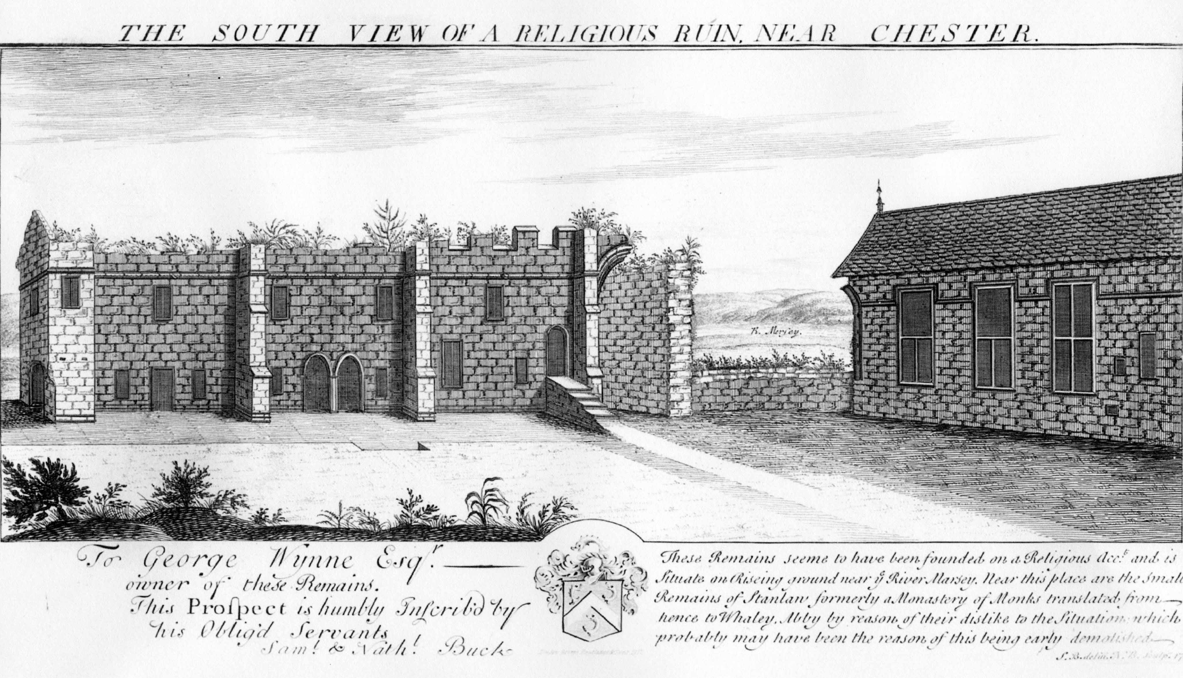
Ince Manor

Ince Manor or Ince Grange is a former monastic grange in the village of Ince in Cheshire, England. The remains of the manor house, consisting of the old...
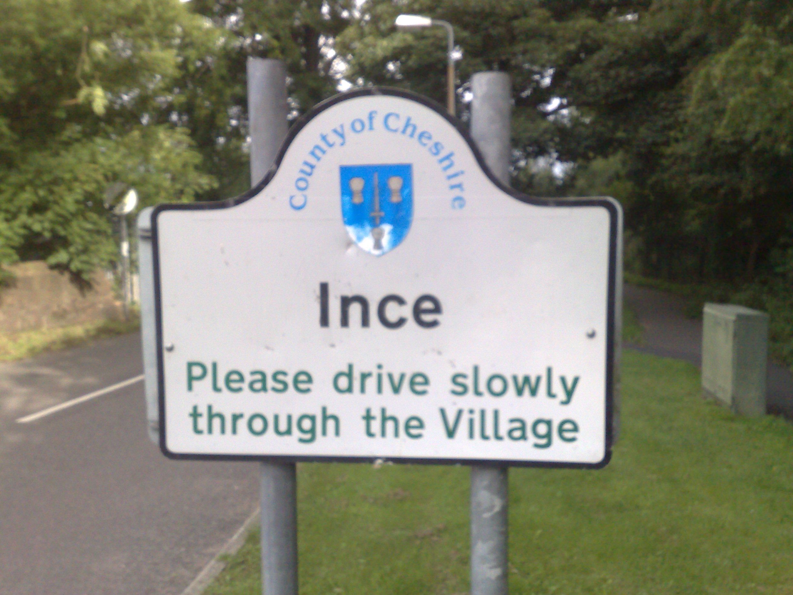
Ince, Cheshire

Ince is a village and civil parish in the unitary authority of Cheshire West and Chester and the ceremonial county of Cheshire, England. It is situated...

Have you been to Ince Banks?

Leave your review of Ince Banks below (or comments, questions and feedback).