Skerries of Coubister
Coastal Marsh, Saltings in Orkney
Scotland
Skerries of Coubister
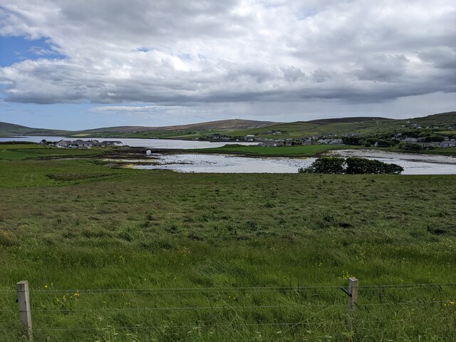
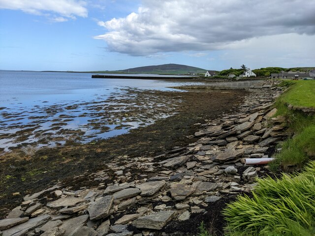
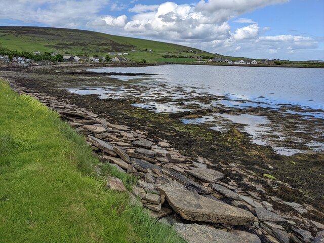
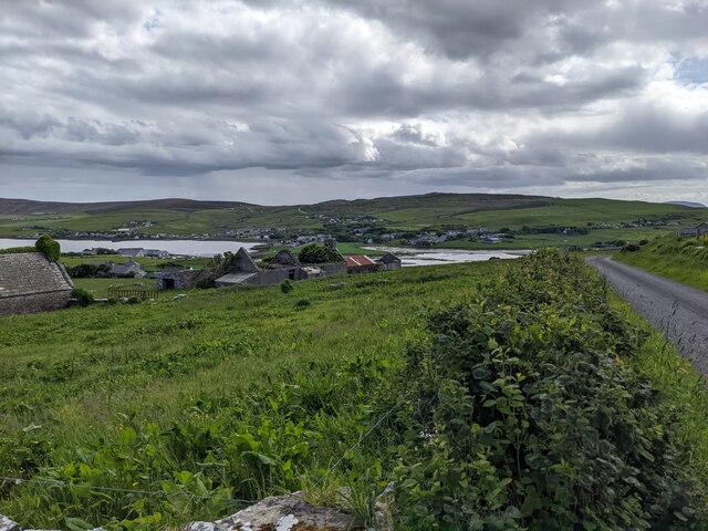
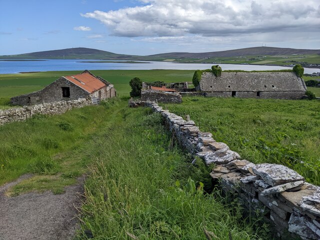
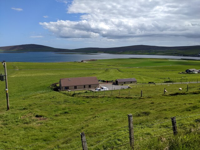
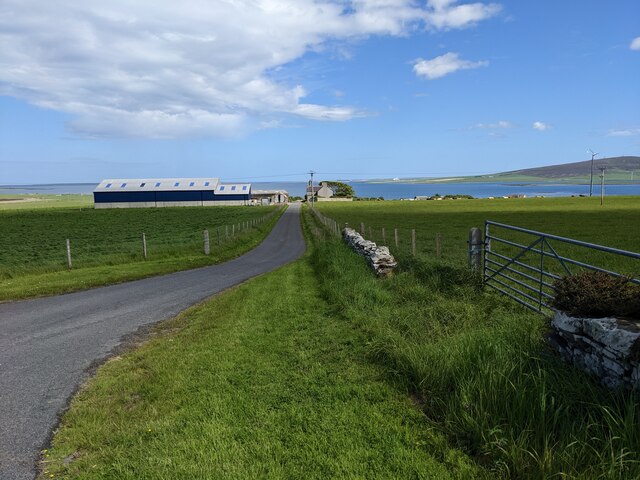
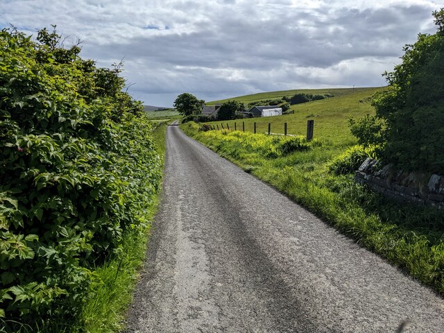
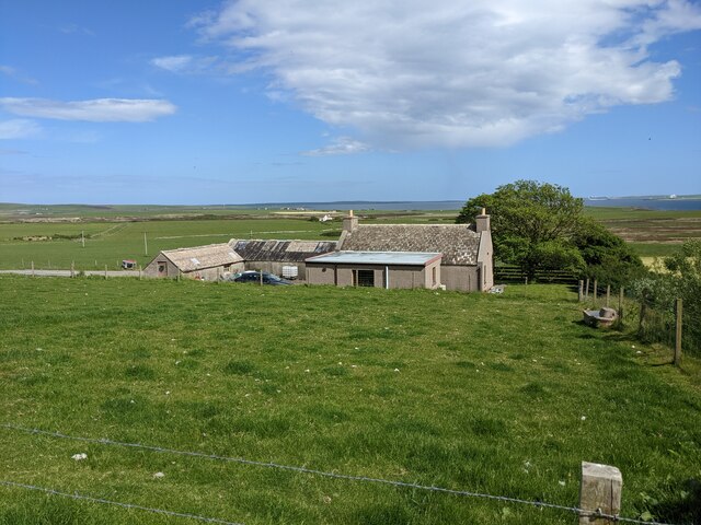
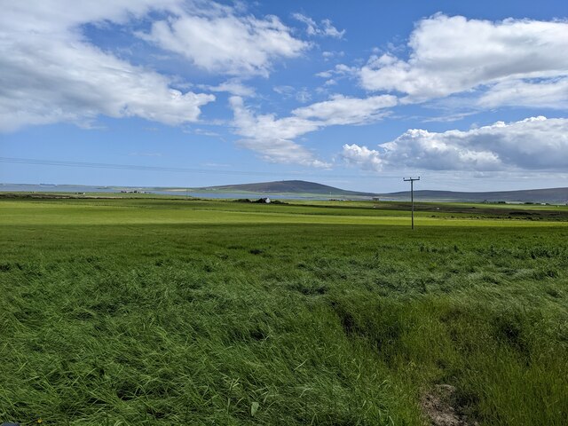
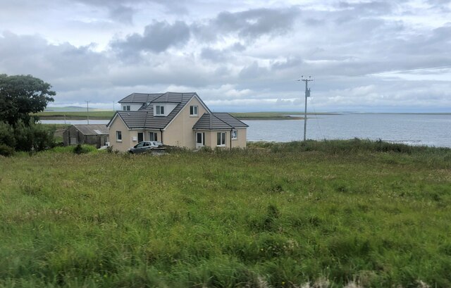
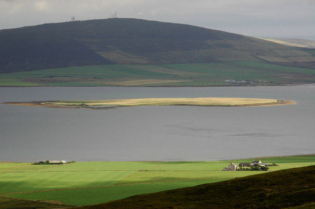
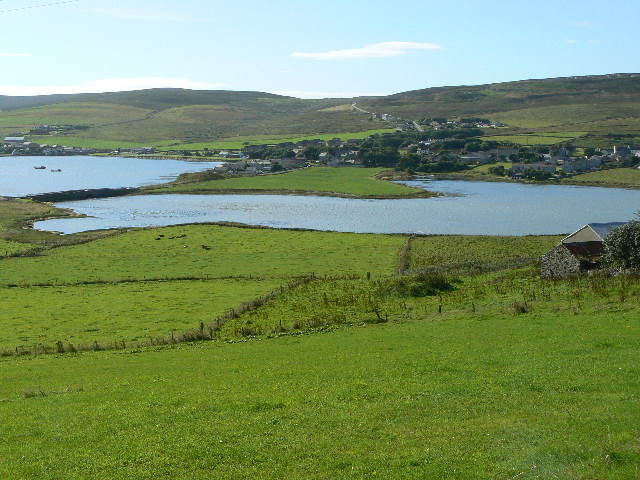
The Skerries of Coubister is a coastal marsh and saltings area located in the Orkney Islands, Scotland. It is situated on the eastern coast of the island of Mainland, near the village of Coubister. Covering an area of approximately 60 hectares, the Skerries of Coubister is a designated Site of Special Scientific Interest (SSSI) and a Special Protection Area (SPA) due to its importance for breeding and wintering birds.
The landscape of the Skerries of Coubister is characterized by a series of small islands and rocky outcrops, which are submerged during high tide and exposed during low tide. These tidal skerries provide an ideal habitat for a wide range of bird species. The area is particularly renowned for its breeding colonies of seabirds, including guillemots, kittiwakes, and razorbills. Other bird species that can be spotted here include puffins, fulmars, and shags.
The coastal marsh and saltings of the Skerries of Coubister also support a diverse range of plants and invertebrates. Salt-tolerant vegetation such as sea aster, thrift, and sea plantain can be found in the area, providing food and shelter for various insects and butterflies. The marshes are also important for wading birds, such as redshanks and oystercatchers, which feed on the invertebrates found in the mudflats.
Due to its ecological significance, the Skerries of Coubister is protected under various conservation designations, and access to the area may be restricted during certain times of the year to ensure the undisturbed breeding and feeding of the wildlife. Visitors to the site can enjoy guided walks, birdwatching opportunities, and the chance to immerse themselves in the stunning coastal scenery of the Orkney Islands.
If you have any feedback on the listing, please let us know in the comments section below.
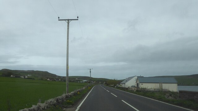
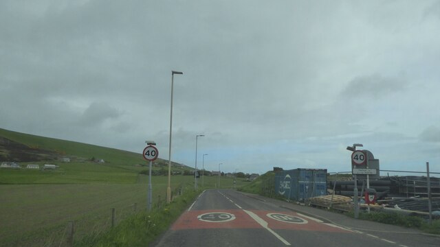
Skerries of Coubister Images
Images are sourced within 2km of 59.016676/-3.0856801 or Grid Reference HY3714. Thanks to Geograph Open Source API. All images are credited.


Skerries of Coubister is located at Grid Ref: HY3714 (Lat: 59.016676, Lng: -3.0856801)
Unitary Authority: Orkney Islands
Police Authority: Highlands and Islands
What 3 Words
///upstairs.cashew.whirlpool. Near Finstown, Orkney Islands
Nearby Locations
Related Wikis

Holm of Grimbister
Holm of Grimbister is an inhabited tidal islet in the Orkney archipelago of Scotland. Located in the Bay of Firth near Finstown it is connected to Mainland...
Damsay
Damsay is an islet in the Orkney archipelago in Scotland. It is approximately 18 hectares (0.07 sq mi) in extent and rises to only 11 metres (36 ft) above...
Finstown
Finstown (locally ) is a village in the parish of Firth on Mainland, Orkney, Scotland. It is the fourth-largest settlement in the Orkney Islands. According...
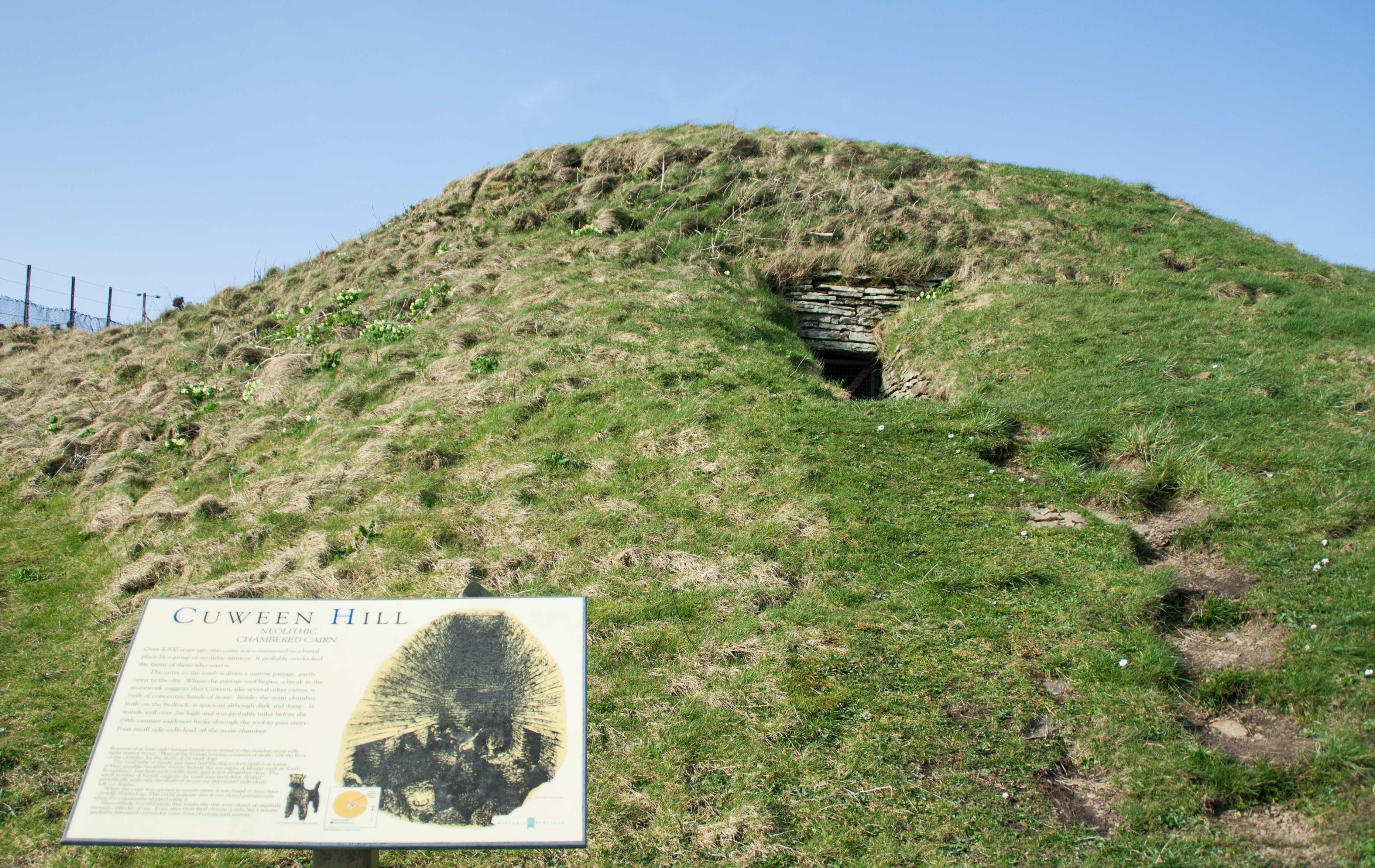
Cuween Hill Chambered Cairn
Cuween Hill Chambered Cairn (grid reference HY364127) is a Neolithic chambered cairn on Mainland, the main island of Orkney, Scotland, about 6 miles west...
Related Videos

Walking Orkney, The Ouse, Finstown
A short walk round The Ouse in the village of Finstown, Orkney.

How to shop for groceries | The secret to stress-free grocery shopping revealed
How to shop for groceries | How I spent my day |The secret to stress-free grocery shopping revealed Shopping in Lagos ...

(OUTDATED) Slendytubbies: The Apocalypse Trailer (Roblox Game)
outdated lmao1!! man this game used to be just a walking sim but its better now i promise Game link: ...

driver view bus ride on Orkney on A964 west from Scapa Roundabout to the A965 on 5/18/23
This is a driver's view of the A964 west through the countryside on the main island of the Orkney Archipelago, Mainland, from the ...
Have you been to Skerries of Coubister?
Leave your review of Skerries of Coubister below (or comments, questions and feedback).