Bay of Firth
Bay in Orkney
Scotland
Bay of Firth
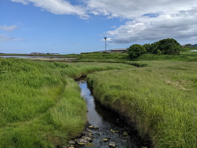
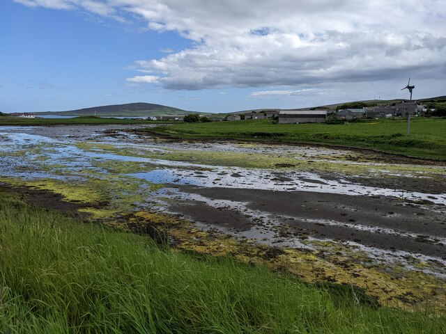
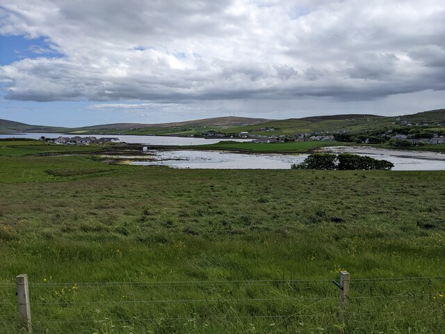
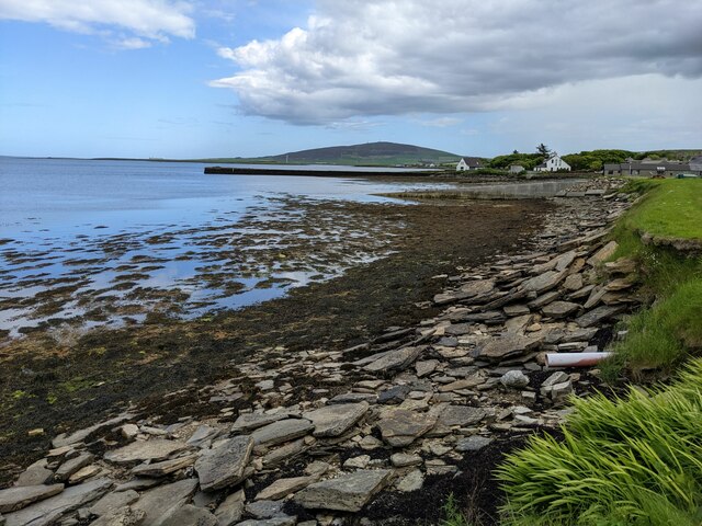
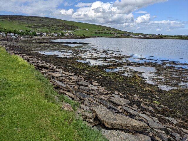
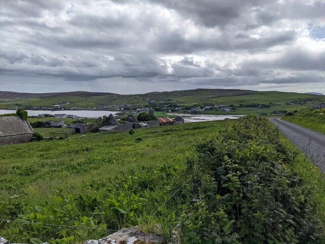
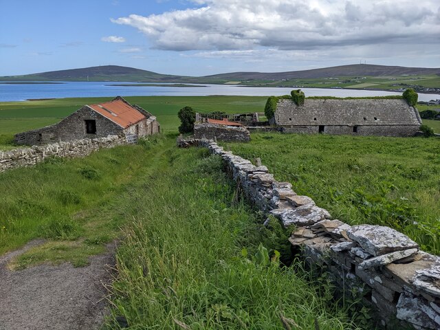
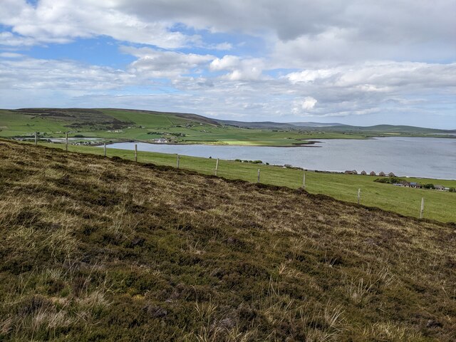
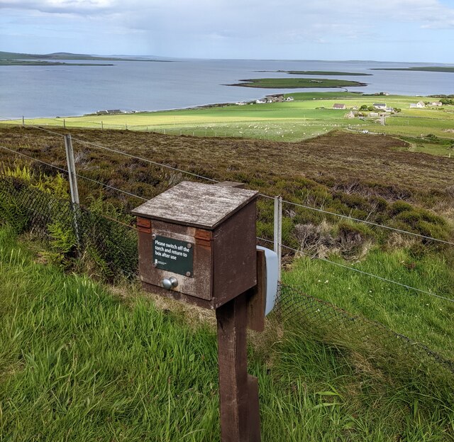
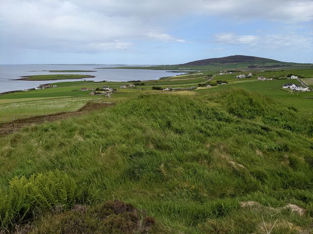
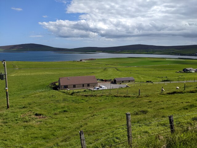
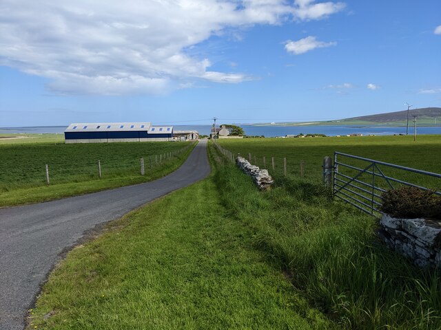
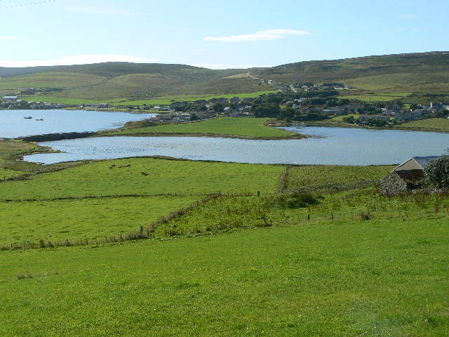
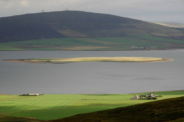
The Bay of Firth is a picturesque coastal area located in the Orkney Islands, an archipelago in Scotland. Situated on the eastern side of the Orkney Mainland, the bay is surrounded by beautiful landscapes and offers stunning views of the North Sea.
The bay is characterized by its sandy beaches, rocky cliffs, and rolling green hills. It is a popular destination for nature enthusiasts and outdoor activities such as walking, birdwatching, and photography. The area is known for its rich biodiversity, with a variety of bird species, including puffins, fulmars, and guillemots, making it a haven for birdwatchers.
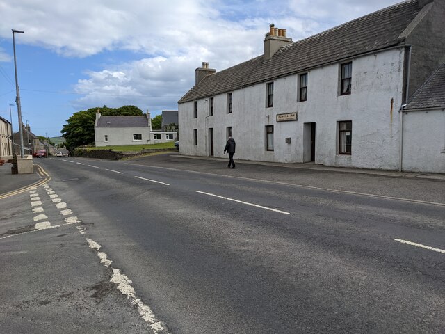
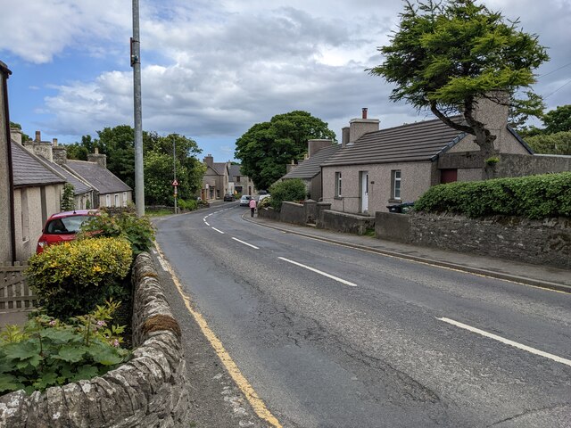
The Bay of Firth is also steeped in history, with numerous archaeological sites in the vicinity. The nearby village of Finstown is home to the Broch of Gurness, an Iron Age settlement that provides insights into ancient life in Orkney. Additionally, the bay is situated close to the historic town of Kirkwall, which boasts its own attractions, including the magnificent St. Magnus Cathedral and the Orkney Museum.
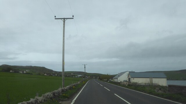
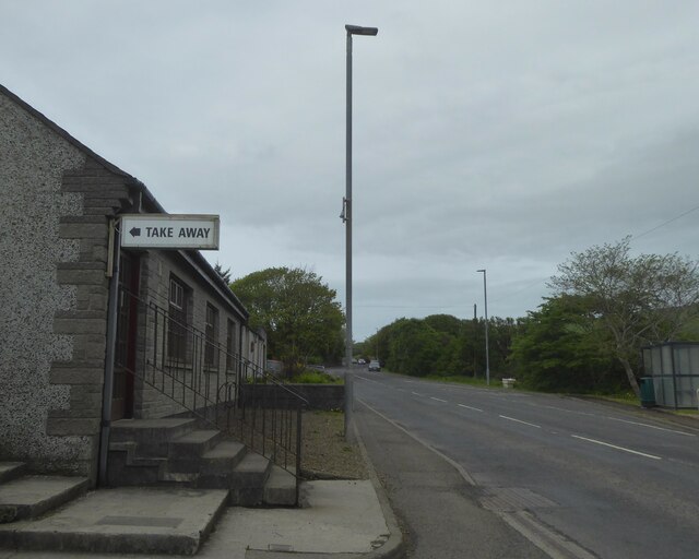
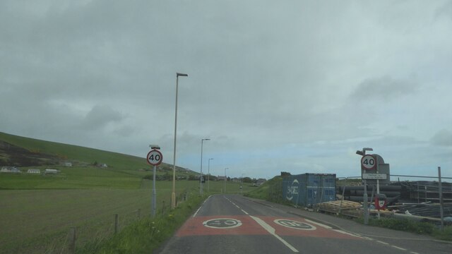
The bay is easily accessible by road, with car parking facilities available for visitors. It offers a peaceful and serene atmosphere, making it an ideal spot for relaxation and tranquility. Whether exploring the area's natural beauty, immersing oneself in history, or simply enjoying the breathtaking views, the Bay of Firth is a must-visit destination for anyone traveling to the Orkney Islands.
If you have any feedback on the listing, please let us know in the comments section below.
Bay of Firth Images
Images are sourced within 2km of 59.008942/-3.0901201 or Grid Reference HY3714. Thanks to Geograph Open Source API. All images are credited.
Bay of Firth is located at Grid Ref: HY3714 (Lat: 59.008942, Lng: -3.0901201)
Unitary Authority: Orkney Islands
Police Authority: Highlands and Islands
What 3 Words
///lucky.important.version. Near Finstown, Orkney Islands
Nearby Locations
Related Wikis

Holm of Grimbister
Holm of Grimbister is an inhabited tidal islet in the Orkney archipelago of Scotland. Located in the Bay of Firth near Finstown it is connected to Mainland...
Finstown
Finstown (locally ) is a village in the parish of Firth on Mainland, Orkney, Scotland. It is the fourth-largest settlement in the Orkney Islands. According...
Damsay
Damsay is an islet in the Orkney archipelago in Scotland. It is approximately 18 hectares (0.07 sq mi) in extent and rises to only 11 metres (36 ft) above...
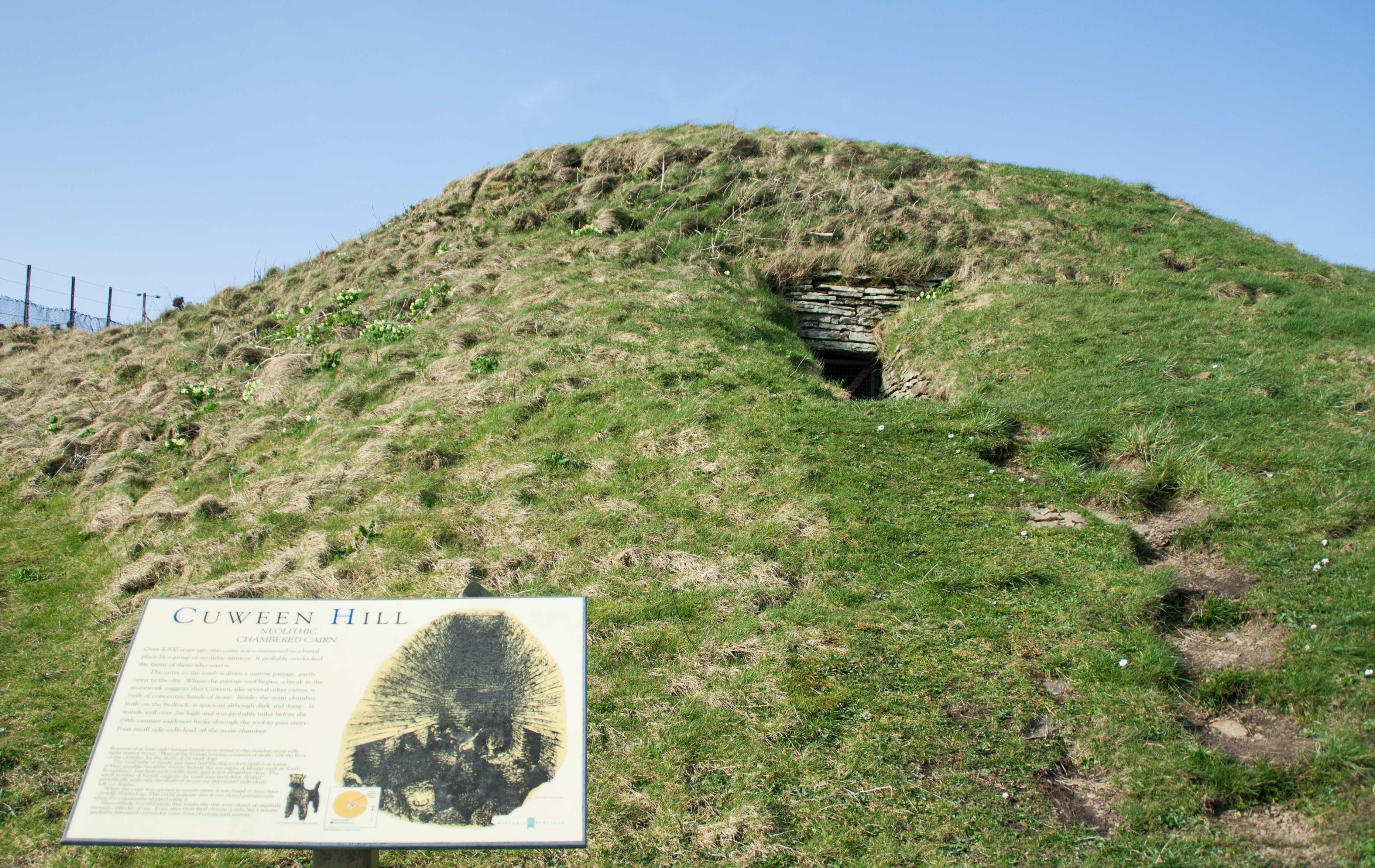
Cuween Hill Chambered Cairn
Cuween Hill Chambered Cairn (grid reference HY364127) is a Neolithic chambered cairn on Mainland, the main island of Orkney, Scotland, about 6 miles west...
Have you been to Bay of Firth?
Leave your review of Bay of Firth below (or comments, questions and feedback).