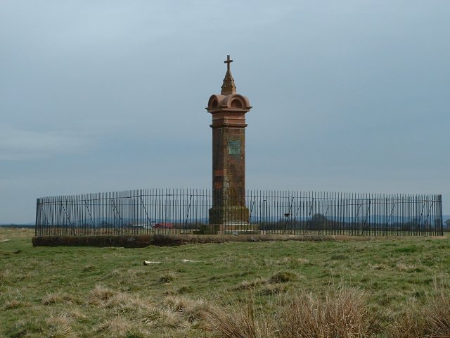
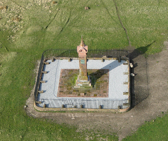
Burgh Marsh
Coastal Marsh, Saltings in Cumberland Carlisle
England
Burgh Marsh

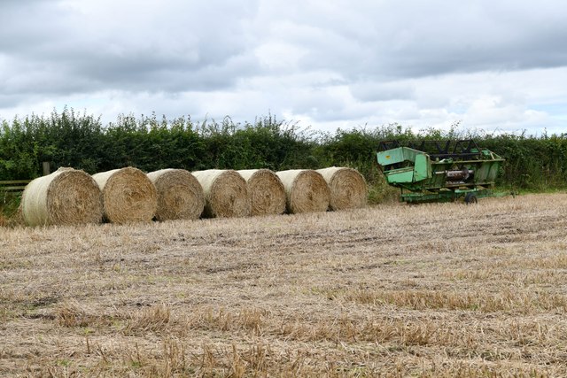
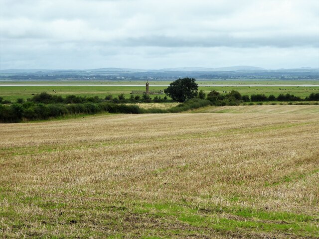
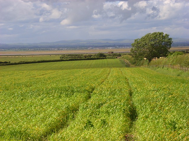
Burgh Marsh, located in Cumberland, is a coastal marsh characterized by its saltings. It is situated on the northwestern coast of England, near the town of Burgh by Sands. The marsh stretches over a vast area of land, encompassing a diverse range of habitats and providing a haven for various species of flora and fauna.
The marsh is composed of a mixture of salt marsh and mudflats, which are influenced by the daily tidal cycle. During high tide, the salt marsh is partially submerged, while at low tide, vast expanses of mudflats are exposed. This dynamic habitat supports a rich diversity of plant life, including grasses, sedges, and herbs that have adapted to the saline conditions.
Burgh Marsh is an important site for many bird species, serving as a stopover point for migratory birds and providing breeding grounds for several species. The mudflats attract wading birds such as curlews, redshanks, and oystercatchers, which feed on the abundant invertebrates found in the mud. The salt marsh provides nesting sites for birds such as reed buntings and marsh harriers.
The marsh is also home to a variety of mammals, including otters and seals, which can often be spotted in the surrounding waters. In addition, the marsh provides a crucial habitat for numerous species of insects, crustaceans, and mollusks, contributing to the overall ecological diversity of the area.
Overall, Burgh Marsh is an ecologically significant coastal marsh, offering a unique and diverse range of habitats that support a plethora of plant and animal life. Its importance as a breeding site and stopover point for migratory birds highlights its conservation value and justifies its designation as a protected area.
If you have any feedback on the listing, please let us know in the comments section below.
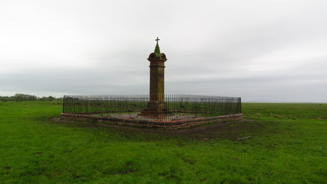
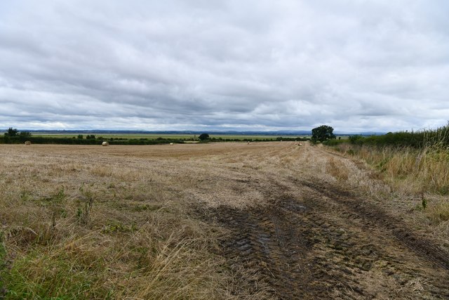
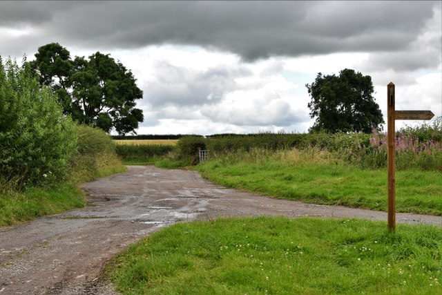
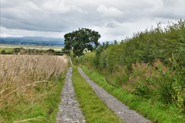
Burgh Marsh Images
Images are sourced within 2km of 54.934243/-3.0748404 or Grid Reference NY3160. Thanks to Geograph Open Source API. All images are credited.


Burgh Marsh is located at Grid Ref: NY3160 (Lat: 54.934243, Lng: -3.0748404)
Administrative County: Cumbria
District: Carlisle
Police Authority: Cumbria
What 3 Words
///broadcast.upwardly.dads. Near Gretna, Dumfries & Galloway
Nearby Locations
Related Wikis

Milecastle 73
Milecastle 73 (Dykesfield) was one of a series of Milecastles or small fortlets built at intervals of approximately one Roman mile along Hadrian's Wall...
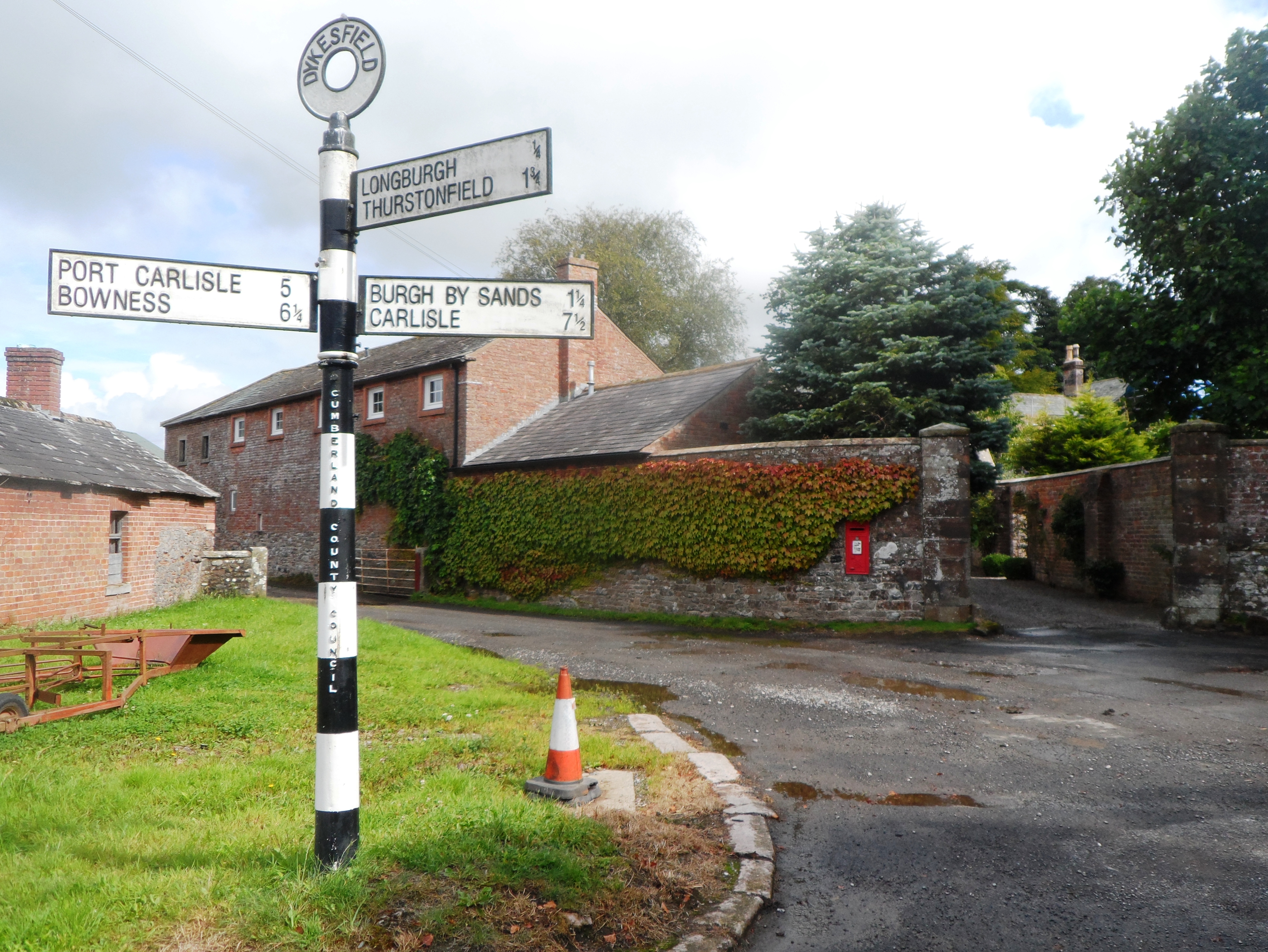
Dykesfield
Dykesfield is a hamlet in Cumbria, England. Occupied since at least Roman times, archaeological have excavated at Dykesfield. It contains Dykesfield House...

Longburgh
Longburgh is a hamlet in the civil parish of Burgh by Sands, in the City of Carlisle District, in the English county of Cumbria. Nearby settlements include...

Milecastle 72
Milecastle 72 (Fauld Farm) was one of a series of Milecastles or small fortlets built at intervals of approximately one Roman mile along Hadrian's Wall...
Have you been to Burgh Marsh?
Leave your review of Burgh Marsh below (or comments, questions and feedback).