Axmouth Marsh

Coastal Marsh, Saltings in Devon East Devon

England

Axmouth Marsh

A hotel with a moat Flood defences outside Seaton's Premier Inn.
A hotel with a moat Credit: Anthony Vosper

Axmouth Marsh is a coastal marsh located in Devon, England. Situated near the village of Axmouth, it is known for its unique ecological characteristics and diverse wildlife. Covering an area of approximately 100 hectares, the marsh is primarily composed of saltmarshes and tidal mudflats, making it an important habitat for various species.

The marsh is situated at the mouth of the River Axe, where it meets the English Channel. The tidal nature of the river has created a dynamic environment with constantly changing water levels, resulting in the formation of saltmarshes and saltings. These areas consist of salt-tolerant plants such as samphire, sea lavender, and cordgrass, which are adapted to survive in the brackish conditions.

Axmouth Marsh is recognized as a Site of Special Scientific Interest (SSSI) due to its rich biodiversity. It serves as a crucial breeding and feeding ground for numerous bird species, including avocets, dunlins, and redshanks. The mudflats also attract wading birds like curlews and oystercatchers, which probe the soft sediment for invertebrates.

In addition to its avian inhabitants, the marsh supports a variety of other wildlife. Mammals such as otters and water voles can be found along the riverbanks, while reptiles like adders and grass snakes inhabit the drier parts of the marsh. The diverse range of plant species provides a habitat for insects and other invertebrates, further enriching the marsh's ecosystem.

Axmouth Marsh offers visitors a unique opportunity to observe and appreciate the beauty of a coastal marshland. Several footpaths and nature trails allow for leisurely walks and birdwatching, providing a peaceful escape into nature. The marsh is also an important educational resource, with various organizations working to raise awareness about its ecological significance and conservation efforts.

If you have any feedback on the listing, please let us know in the comments section below.

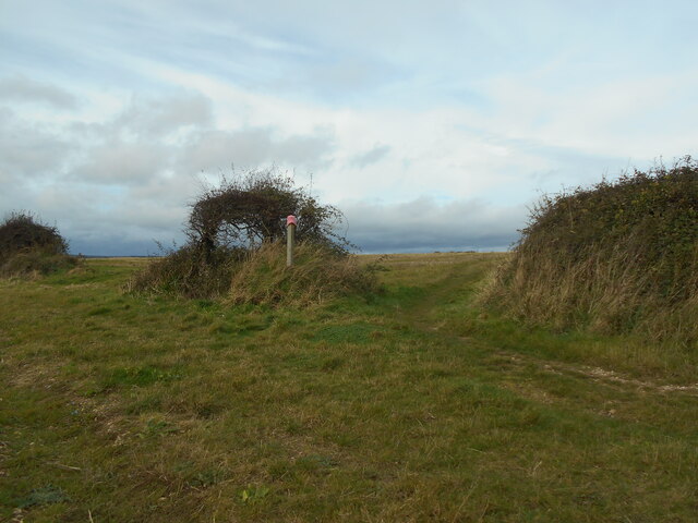
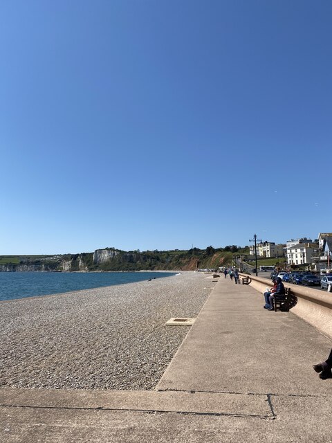
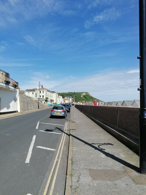
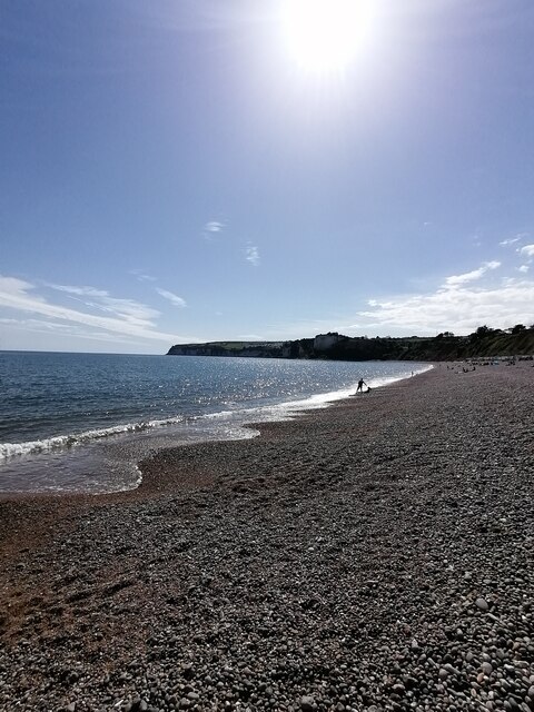
Axmouth Marsh Images

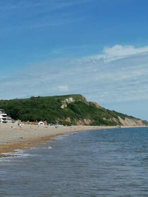
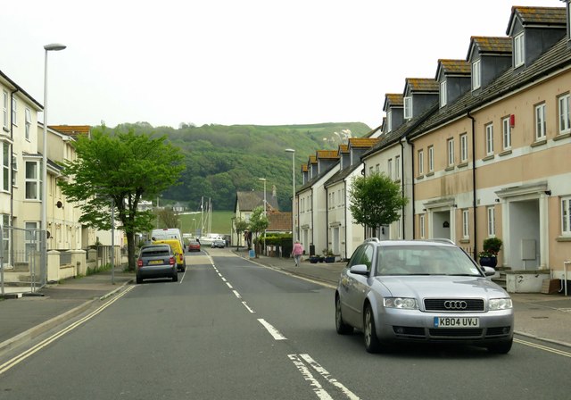
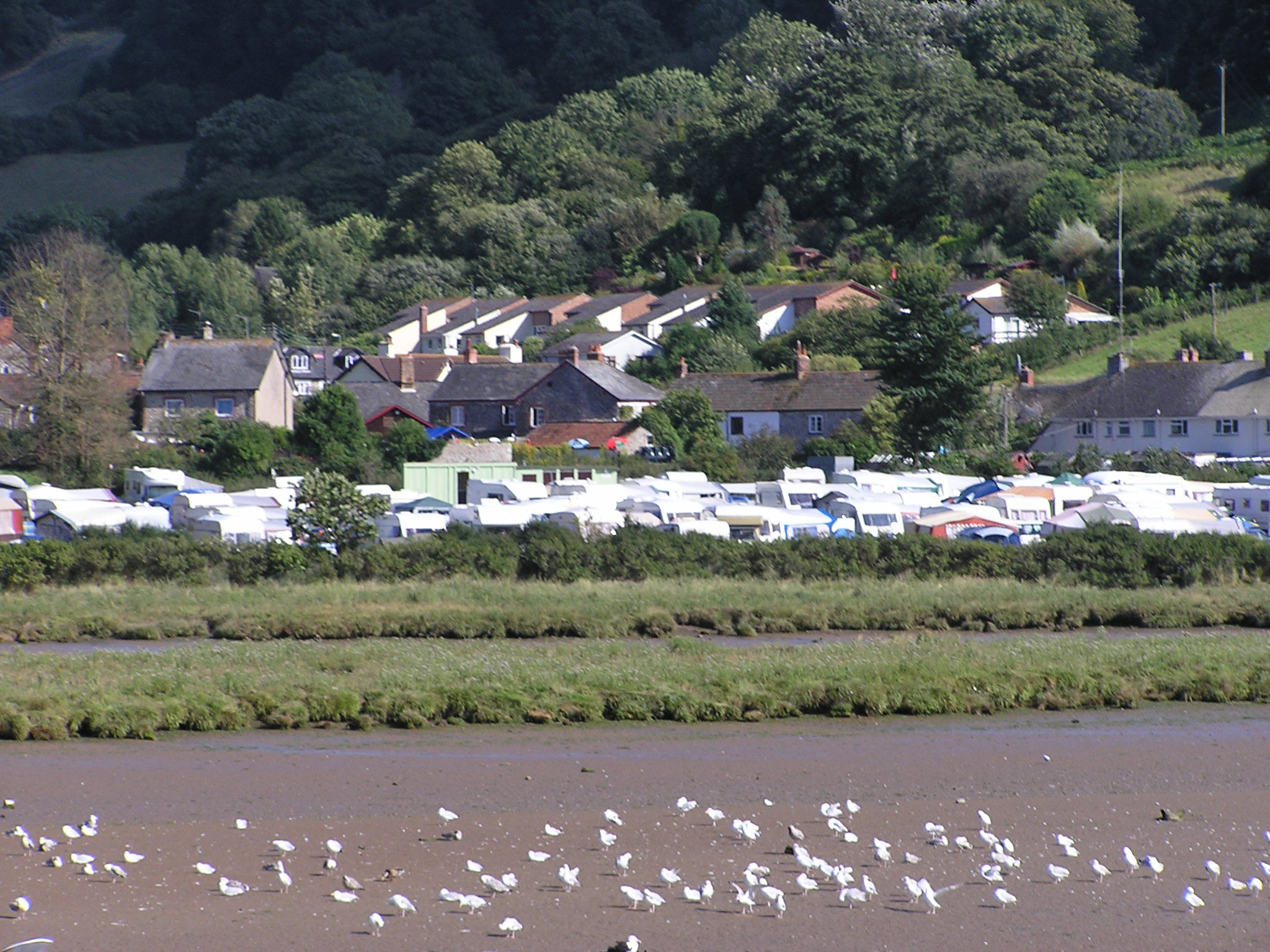
Images are sourced within 2km of 50.718243/-3.0556458 or Grid Reference SY2591. Thanks to Geograph Open Source API. All images are credited.

A hotel with a moat Flood defences outside Seaton's Premier Inn.
A hotel with a moat
Flood defences outside Seaton's Premier Inn.
An incoming tide The River Axe joins the sea at Seaton.
Recent heavy rains have swelled the outgoing river.
An incoming tide
The River Axe joins the sea at Seaton. Recent heavy rains have swelled the outgoing river.
Gone fishing A lone angler stands at the mouth of the River Axe.
Gone fishing
A lone angler stands at the mouth of the River Axe.
Anyone lost a pink hat? A pink hat adorns a marker post for the South West Coast Path.
A geocache is currently located in the small windswept tree.
Anyone lost a pink hat?
A pink hat adorns a marker post for the South West Coast Path. A geocache is currently located in the small windswept tree.
Seaton on a lovely sunny day
Seaton Seafront and Esplanade (East Devon) Seaton Seafront and Esplanade on this glorious and fantastic Sunday afternoon and a quiet gem on the Jurassic coast similar to Lyme Regis when I visited in October.
Seaton Seafront and Esplanade (East Devon)
Seaton Seafront and Esplanade on this glorious and fantastic Sunday afternoon and a quiet gem on the Jurassic coast similar to Lyme Regis when I visited in October.
Seaton Beach Seaton pebble beach on this glorious and fantastic Sunday afternoon and very peaceful and cool waters of the English Channel
Seaton Beach
Seaton pebble beach on this glorious and fantastic Sunday afternoon and very peaceful and cool waters of the English Channel
Seaton cliffs (East Devon) Seaton cliffs on the Jurassic Coast looking from the town beach
Seaton cliffs (East Devon)
Seaton cliffs on the Jurassic Coast looking from the town beach
Axmouth Harbour
Axmouth Harbour
Sea Hill in Seaton
Sea Hill in Seaton
Harbour Road in Seaton
The beach at Seaton
The beach at Seaton
The beach at Seaton
The beach at Seaton
The promenade by the beach
No entry on the Esplanade
Beach Road runs down to Harbour Road
Tram No. 14 at Axmouth Loop Seaton Tramway Car No.14 approaching the loop at Axmouth.  It was a party special for young ladies who were going to a 'Fairy Party' at Colyton.
Tram No. 14 at Axmouth Loop
Seaton Tramway Car No.14 approaching the loop at Axmouth. It was a party special for young ladies who were going to a 'Fairy Party' at Colyton.
Boundary Stone, River Axe Right on the edge of the tidal stretch of the river. The 1903 map shows a BS as close to this location as possible (from the moving tram). The tramway dates from 1970, built on the line of the L & S W R Seaton Branch track.

 Milestone Society National ID: DV_SEAAXM01bm
Boundary Stone, River Axe
Right on the edge of the tidal stretch of the river. The 1903 map shows a BS as close to this location as possible (from the moving tram). The tramway dates from 1970, built on the line of the L & S W R Seaton Branch track. Milestone Society National ID: DV_SEAAXM01bm
Show me another place!

Axmouth Marsh is located at Grid Ref: SY2591 (Lat: 50.718243, Lng: -3.0556458)

Administrative County: Devon

District: East Devon

Police Authority: Devon and Cornwall

What 3 Words

///velocity.junction.bullion. Near Colyton, Devon

Related Wikis

Axmouth

Axmouth is a village, civil parish and former manor in the East Devon district of Devon, England, near the mouth of the River Axe. The village itself...

Seaton Tramway

The Seaton Tramway is a 2 ft 9 in (838 mm) narrow gauge electric tramway in the East Devon district of South West England. The 3-mile (4.8 km) route runs...

River Coly

The River Coly is a 13-kilometre (8.1 mi) long river in the county of Devon, in the south-west of England. It rises in several streams in the north of...

Hawkesdown Hill

Hawkesdown Hill is an Iron Age Hill fort close to Axmouth in Devon situated on a prominent hillside above the Axe Estuary. It is approximately 130 metres...

Nearby Amenities

Located within 500m of 50.718243,-3.0556458
Axmouth
Is In: Devon, England, United Kingdom
Place: village
Wikidata: Q1242448
Wikipedia: en:Axmouth
Lat/Long: 50.7146116/-3.0519522
Pub
The Ship Inn
Wikidata: Q79837550
Lat/Long: 50.7147387/-3.0526843
Pub
The Harbour Inn
Addr Country: GB
Brand: Hall & Woodhouse
Brand Wikidata: Q5642555
Brand Wikipedia: en:Hall & Woodhouse
Wikidata: Q26462591
Lat/Long: 50.7144922/-3.054801
Tourism: picnic_site
Lat/Long: 50.7143212/-3.055988
Bus Stop
Lat/Long: 50.7148321/-3.0520656
The Old Vicarage
Building: yes
Source: survey;OS
Wikidata: Q26593325
Lat/Long: 50.7160562/-3.0508429
Island Hide
Leisure: bird_hide
Lat/Long: 50.7195206/-3.061416
Tourism: viewpoint
Lat/Long: 50.7144955/-3.0560953
Give Way
Direction: forward
Lat/Long: 50.7161658/-3.0520898
Direction: forward
Traffic Calming: choker
Lat/Long: 50.7161326/-3.0520865
Seaton Wetlands Halt
Is In: Devon, England, United Kingdom
Public Transport: stop_position
Railway: tram_stop
Tram: yes
Lat/Long: 50.7218285/-3.0591548
Operator: Seaton Tramway
Railway: switch
Lat/Long: 50.7221113/-3.0590862
Operator: Seaton Tramway
Railway: switch
Lat/Long: 50.7215161/-3.059172
Operator: Seaton Tramway
Railway: switch
Lat/Long: 50.7154301/-3.0591428
Operator: Seaton Tramway
Railway: switch
Lat/Long: 50.7146545/-3.0592538
Viewing Point
Tourism: viewpoint
Lat/Long: 50.7207932/-3.0607291
Generator Method: photovoltaic
Generator Output Electricity: yes
Generator Source: solar
Generator Type: solar_photovoltaic_panel
Location: roof
Power: generator
Lat/Long: 50.7147883/-3.0516984
Generator Method: photovoltaic
Generator Output Electricity: yes
Generator Source: solar
Generator Type: solar_photovoltaic_panel
Location: roof
Power: generator
Lat/Long: 50.7146329/-3.0532739
Generator Method: photovoltaic
Generator Output Electricity: yes
Generator Source: solar
Generator Type: solar_photovoltaic_panel
Location: roof
Power: generator
Lat/Long: 50.7142248/-3.0529808
Power: pole
Source: bing
Lat/Long: 50.7210135/-3.0604568
Poles: bipole
Power: pole
Source: bing
Lat/Long: 50.7181079/-3.0616625
Power: pole
Source: bing
Lat/Long: 50.7173123/-3.0619079
Bench
Material: wood
Seats: 3
Lat/Long: 50.7200716/-3.0620749
Fixme: new stop here to allow tramway users to access wetland
Lat/Long: 50.7211595/-3.0592431
Fixme: needs survey when finsihed to determine where it accesses other paths
Lat/Long: 50.7209761/-3.0605789
The data included in this document is from www.openstreetmap.org. The data is made available under ODbL.

Have you been to Axmouth Marsh?

Leave your review of Axmouth Marsh below (or comments, questions and feedback).