Bride's Noust
Coastal Marsh, Saltings in Orkney
Scotland
Bride's Noust
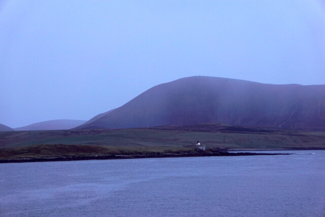
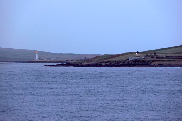
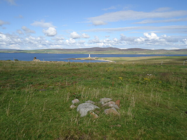
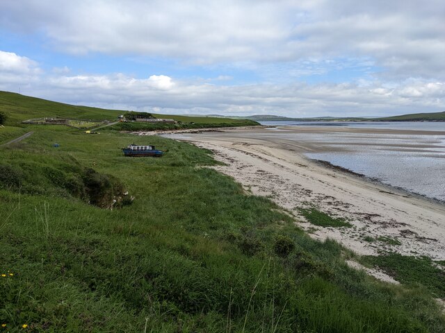
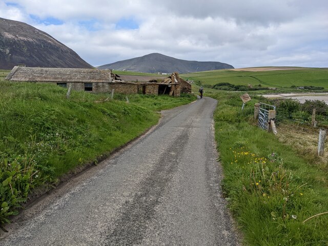
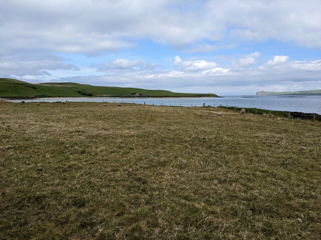
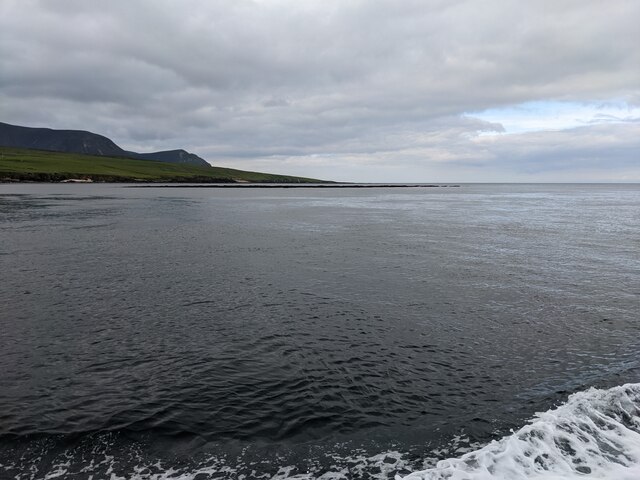
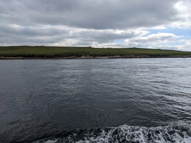
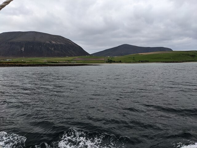
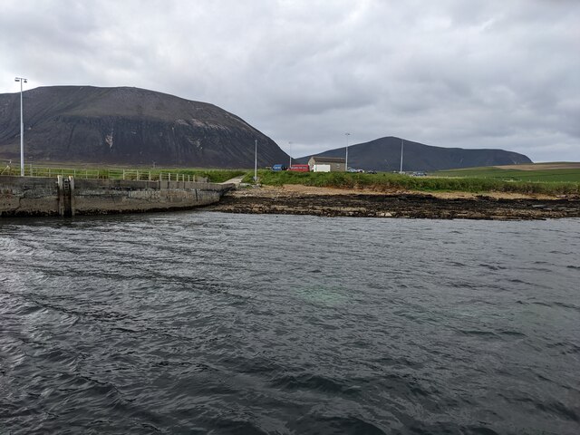
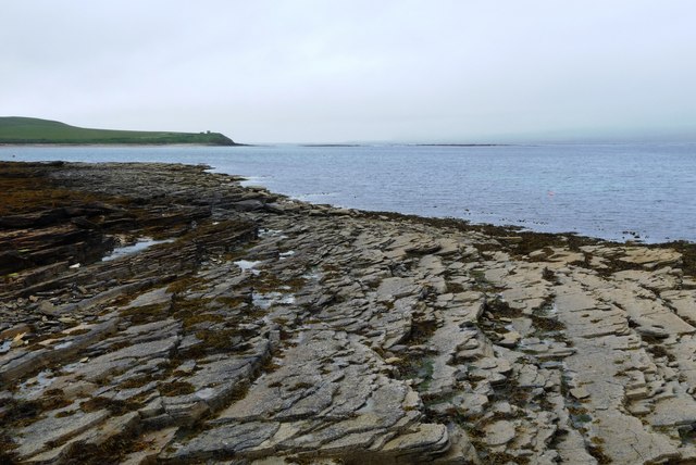
Bride's Noust is a coastal marsh and saltings located in Orkney, a group of islands situated off the northeastern coast of Scotland. It is a unique and ecologically important area that is rich in biodiversity and offers stunning panoramic views of the surrounding landscape.
The marshland is characterized by its diverse plant life, including various species of salt-tolerant grasses and sedges. These plants play a crucial role in stabilizing the soil and preventing erosion along the coastline. The saltings, on the other hand, are salt marshes that are regularly flooded by the tides, creating a habitat for a wide range of bird species.
Bride's Noust is particularly renowned for its birdlife, attracting both resident and migratory species. Visitors can spot a variety of wading birds, including curlews, oystercatchers, and redshanks, as well as ducks such as mallards and teal. The area also serves as an important breeding ground for several bird species, including the elegant Arctic tern.
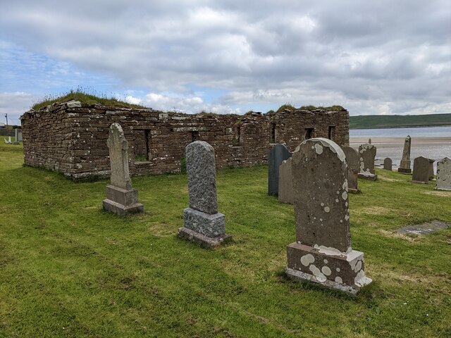
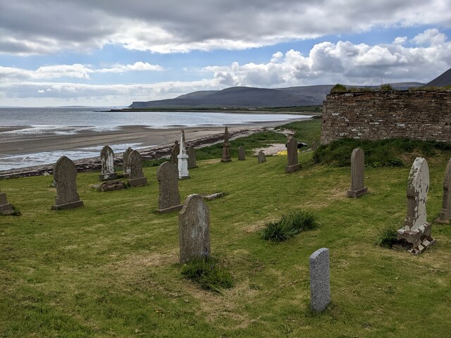
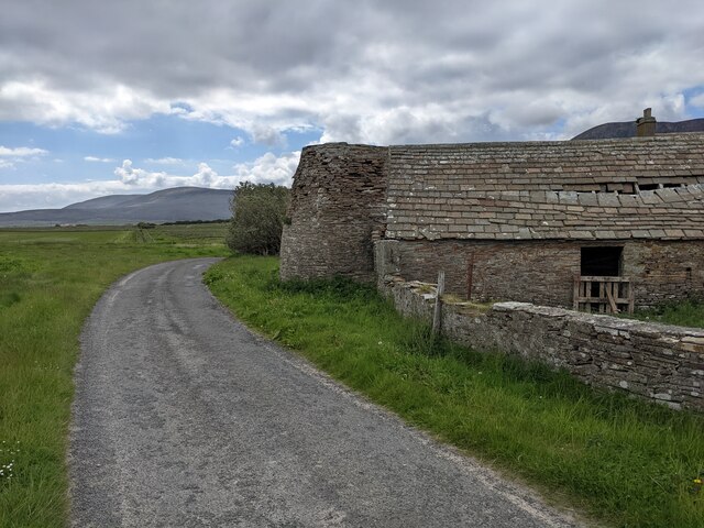
In addition to its ecological significance, Bride's Noust also holds historical and cultural importance. The area is home to the remains of an ancient chapel dedicated to St. Bride, a medieval saint associated with healing and protection. The chapel ruins provide a glimpse into the island's past and add to the charm and atmosphere of the site.
Overall, Bride's Noust is a captivating and picturesque coastal marsh and saltings, offering a haven for wildlife enthusiasts, birdwatchers, and those seeking tranquility in the stunning natural surroundings of Orkney.
If you have any feedback on the listing, please let us know in the comments section below.
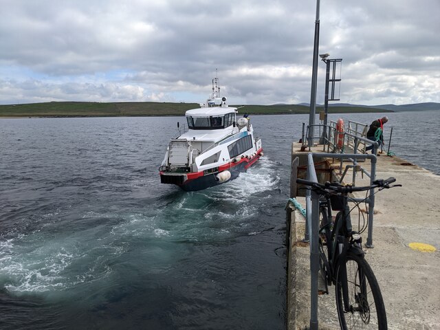
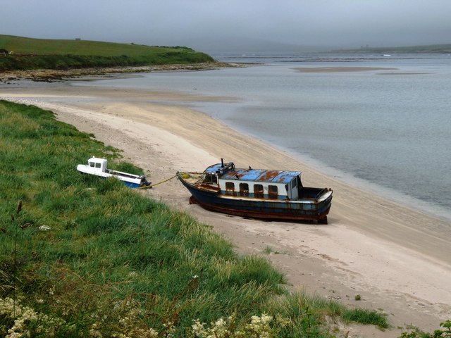
Bride's Noust Images
Images are sourced within 2km of 58.927425/-3.3084317 or Grid Reference HY2405. Thanks to Geograph Open Source API. All images are credited.

Bride's Noust is located at Grid Ref: HY2405 (Lat: 58.927425, Lng: -3.3084317)
Unitary Authority: Orkney Islands
Police Authority: Highlands and Islands
What 3 Words
///tanks.craziest.adopts. Near Stromness, Orkney Islands
Nearby Locations
Related Wikis

Graemsay
Graemsay () is an island in the western approaches to Scapa Flow, in the Orkney Islands of Scotland. The island has two lighthouses. Graemsay lies within...

Hoy Sound
Hoy Sound is a body of salt water subject to tidal currents situated south of the town of Stromness in the Orkney archipelago of Scotland. The sound lies...

Stromness Museum
Stromness Museum is a small independent museum in the town of Stromness in Orkney, Scotland focusing on the town's connections to maritime and natural...

Ward Hill, Hoy
Ward Hill is a hill on the island of Hoy in Orkney, Scotland. It lies at the north of the island between Moaness and Rackwick, and is the highest point...
Nearby Amenities
Located within 500m of 58.927425,-3.3084317Have you been to Bride's Noust?
Leave your review of Bride's Noust below (or comments, questions and feedback).