Dove Point
Coastal Marsh, Saltings in Cheshire
England
Dove Point

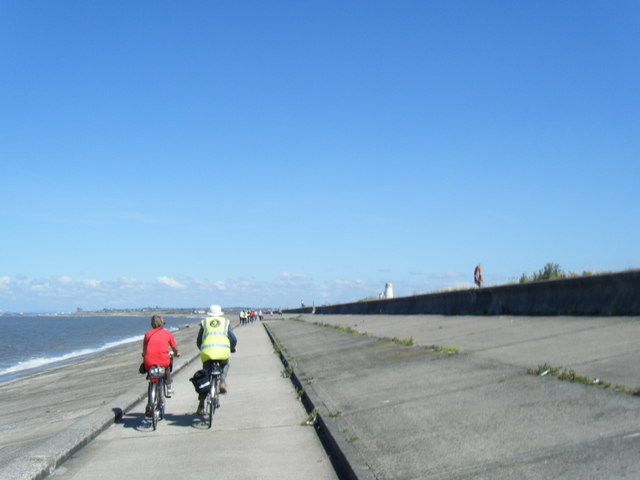
Dove Point is a picturesque coastal marsh located in Cheshire, England. It is known for its stunning views of the sea and its unique ecosystem, consisting of salt marshes and saltings. The marsh spans over a vast area and is a designated Site of Special Scientific Interest (SSSI) due to its ecological importance.
The landscape of Dove Point is characterized by its low-lying salt marshes, which are flooded by the tides of the Irish Sea. These marshes are formed by the deposition of sediment and organic matter brought in by the sea. The salinity of the water in this area is higher than that of freshwater bodies, creating a distinct habitat for various plant and animal species.
The salt marshes at Dove Point are home to a diverse range of flora and fauna. The vegetation includes salt-tolerant plants such as cordgrass, sea lavender, and sea aster, which thrive in the saline conditions. These plants provide essential food and shelter for a variety of bird species, including wading birds, ducks, and geese, which can be observed during certain seasons.
The marshes also serve as an important feeding and breeding ground for many marine species. Migratory fish, such as salmon and sea trout, use the marshes as a passage during their life cycle. The saltings are also a habitat for crustaceans, mollusks, and various invertebrates.
Dove Point is a popular destination for nature enthusiasts and birdwatchers, who can enjoy the tranquility of the marshes and observe the diverse wildlife. The area is well-maintained with walking trails and observation points, allowing visitors to explore and appreciate the unique environment while preserving its delicate balance.
If you have any feedback on the listing, please let us know in the comments section below.
Dove Point Images
Images are sourced within 2km of 53.406521/-3.157981 or Grid Reference SJ2390. Thanks to Geograph Open Source API. All images are credited.


Dove Point is located at Grid Ref: SJ2390 (Lat: 53.406521, Lng: -3.157981)
Unitary Authority: Wirral
Police Authority: Merseyside
What 3 Words
///navy.saying.leans. Near Hoylake, Merseyside
Nearby Locations
Related Wikis
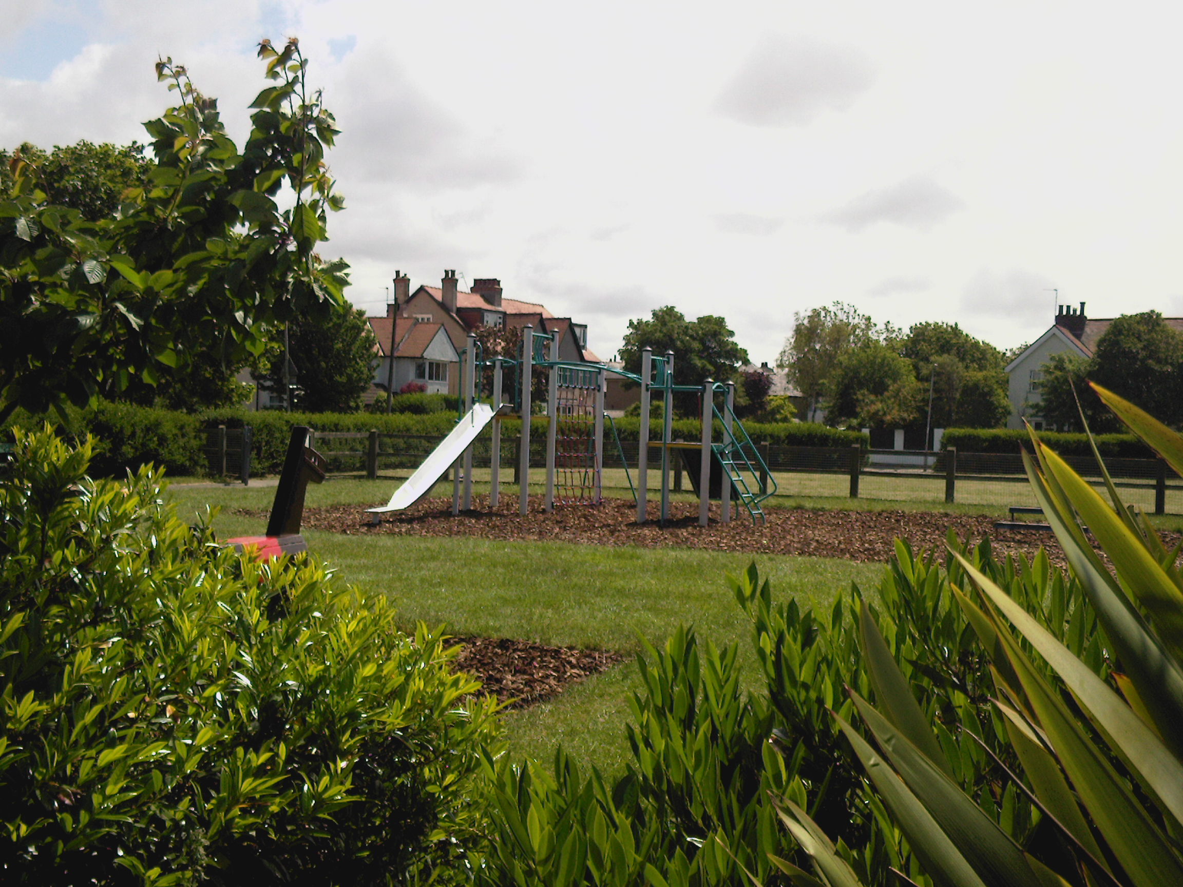
Meols Park
Meols Park and Recreation Ground is located in Meols on the Wirral Peninsula, England. The park consists of a small playground area and a larger grassed...

Meols
Meols (sometimes known as Great Meols) is a suburb in the Metropolitan Borough of Wirral in Merseyside, England. It forms a contiguous built up area with...
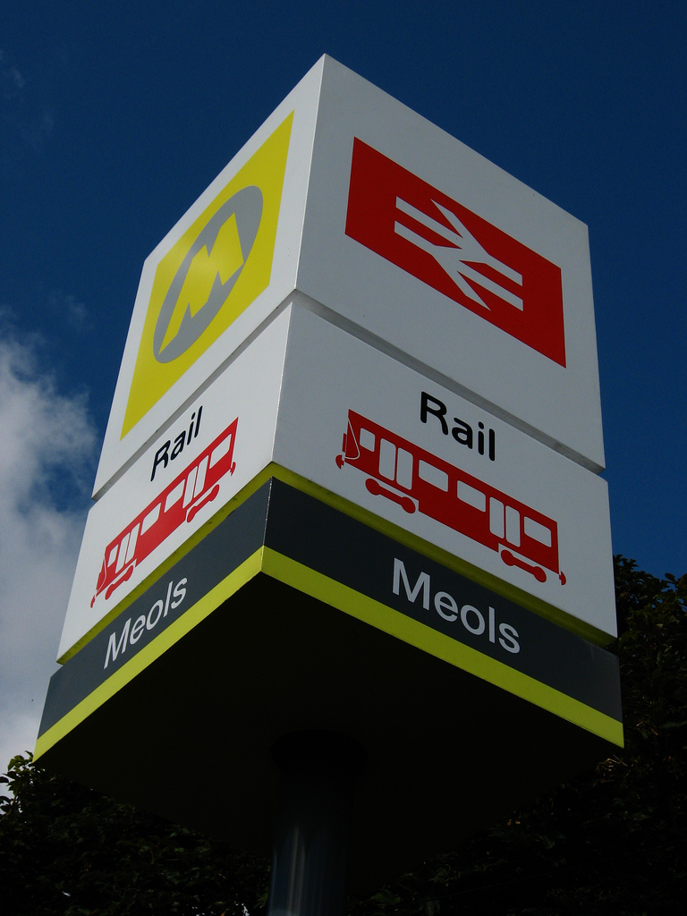
Meols railway station
Meols railway station is a station serving the village of Meols, in Merseyside, England. It lies on the West Kirby branch of the Wirral Line, part of the...

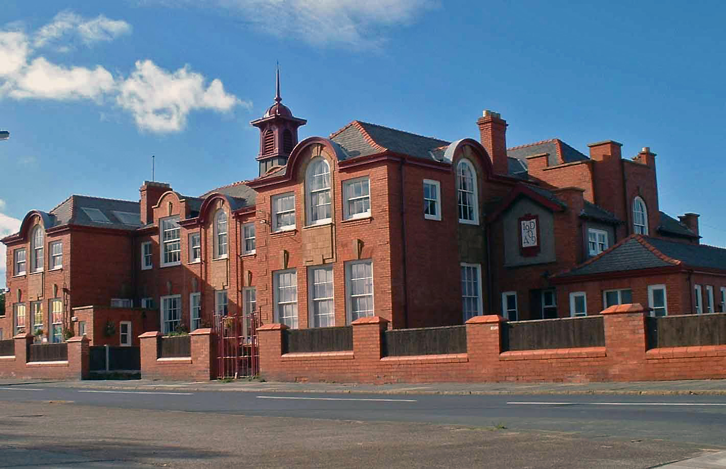
Kingsmead School, Hoylake
Kingsmead School was a co-educational private day school for boys and girls aged 2 to 16 and, from 2018 until its closure, offered a sixth form for students...
Hoylake Parade community centre
Hoylake Parade Community Centre is a multi-purpose public building located in Hoylake, Wirral, which serves as a community centre for the local area....
Town Meadow railway station
Town Meadow is a proposed railway station to serve the west of Moreton near Meols in the Wirral, England. The station would be situated on the West Kirby...
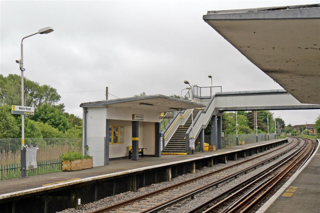
Manor Road railway station
Manor Road railway station is a station in Merseyside, England that serves the towns of Hoylake and Meols. It is located on the West Kirby branch of the...
Holy Trinity Church, Hoylake
Holy Trinity Church was an Anglican church in the seaside town of Hoylake, Wirral, England, until its demolition in 1976. It was consecrated on 1 November...
Nearby Amenities
Located within 500m of 53.406521,-3.157981Have you been to Dove Point?
Leave your review of Dove Point below (or comments, questions and feedback).