North West Point
Coastal Marsh, Saltings in Lancashire Barrow-in-Furness
England
North West Point
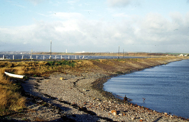
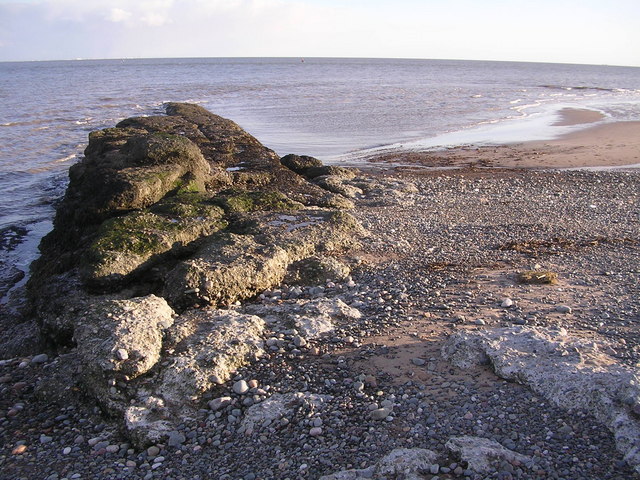
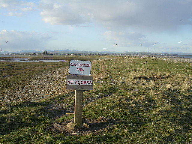
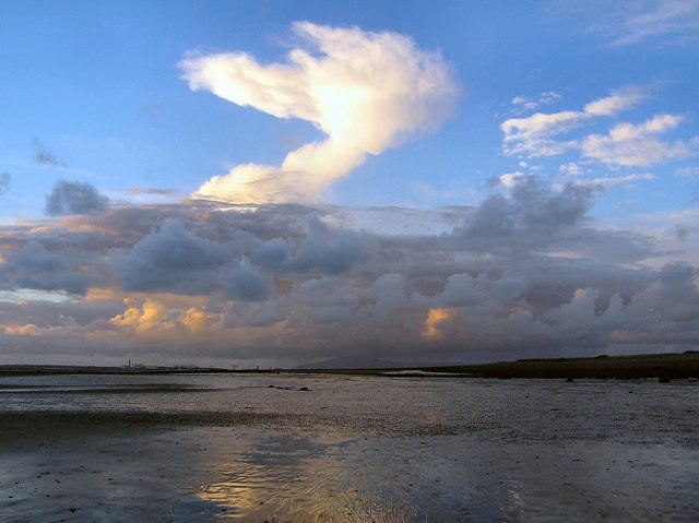
North West Point is a coastal marsh area located in Lancashire, England. Situated along the coastline, it forms part of the expansive coastal marshes and saltings in the region. Spanning over a considerable area, North West Point is characterized by its diverse and unique ecosystem.
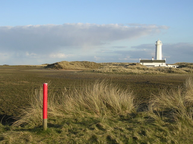
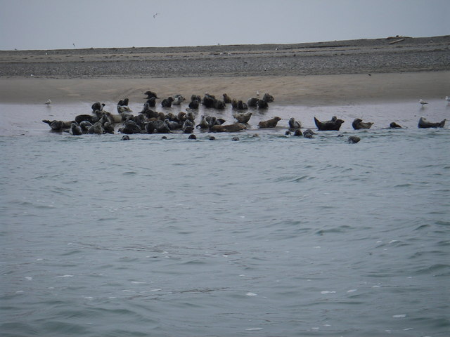
The marshland is primarily composed of salt marshes, which are intertidal habitats that are flooded and drained by the tides. These salt marshes are rich in minerals and support a wide range of vegetation, including various species of grasses, sedges, and herbs. The unique conditions of the marshland make it an ideal habitat for numerous bird species, including waders and wildfowl.
The North West Point area is of significant ecological importance. It serves as a vital feeding and resting spot for migratory birds during their long journeys. The diverse vegetation provides ample food sources for these birds, while the mudflats and shallow waters offer ideal foraging grounds.
The coastal marsh also plays a crucial role in protecting the coastline from erosion by absorbing wave energy. The vegetation and sediment within the marshland act as a natural buffer, reducing the impact of waves and tides on the land behind it.
North West Point is a popular destination for nature enthusiasts and birdwatchers. Its tranquil and picturesque landscape offers opportunities for visitors to observe and appreciate the diverse flora and fauna. Additionally, guided tours and educational programs are available to provide visitors with insights into the ecological significance of the marshland and its conservation efforts.
Overall, North West Point in Lancashire stands as a remarkable example of a coastal marsh and saltings area, teeming with biodiversity and contributing to the preservation of the local ecosystem.
If you have any feedback on the listing, please let us know in the comments section below.
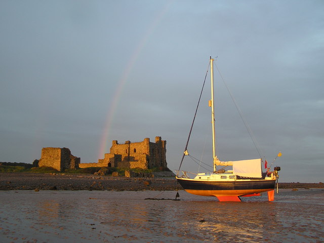
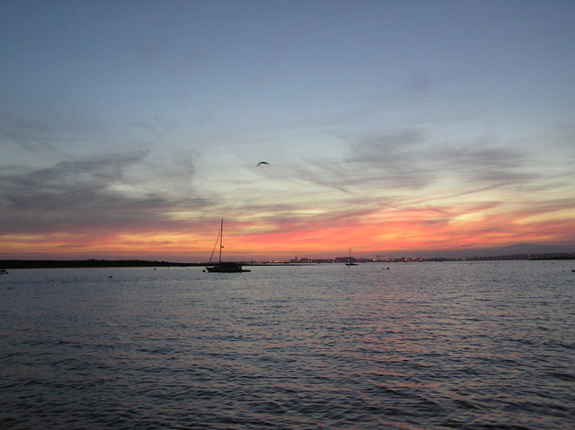
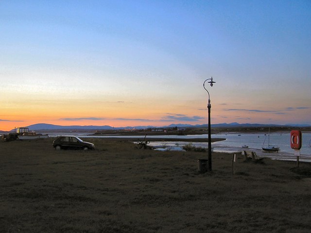
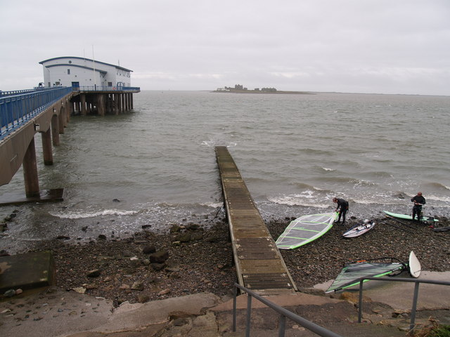
North West Point Images
Images are sourced within 2km of 54.06361/-3.1779004 or Grid Reference SD2363. Thanks to Geograph Open Source API. All images are credited.


North West Point is located at Grid Ref: SD2363 (Lat: 54.06361, Lng: -3.1779004)
Administrative County: Cumbria
District: Barrow-in-Furness
Police Authority: Cumbria
What 3 Words
///lads.distorts.publish. Near Barrow in Furness, Cumbria
Nearby Locations
Related Wikis

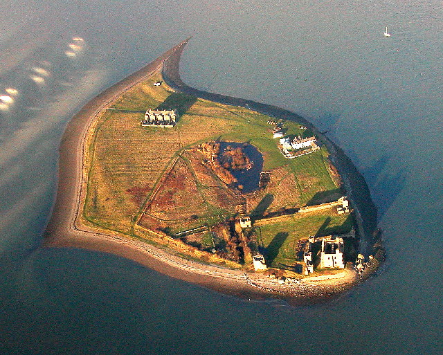
Piel Island
Piel Island lies in Morecambe Bay , around 1⁄2 mile (800 metres) off the southern tip of the Furness peninsula in the administrative county of Cumbria...

Piel Castle
Piel Castle, also known as Fouldry Castle or the Pile of Fouldray, is a castle situated on the south-eastern point of Piel Island, off the coast of the...

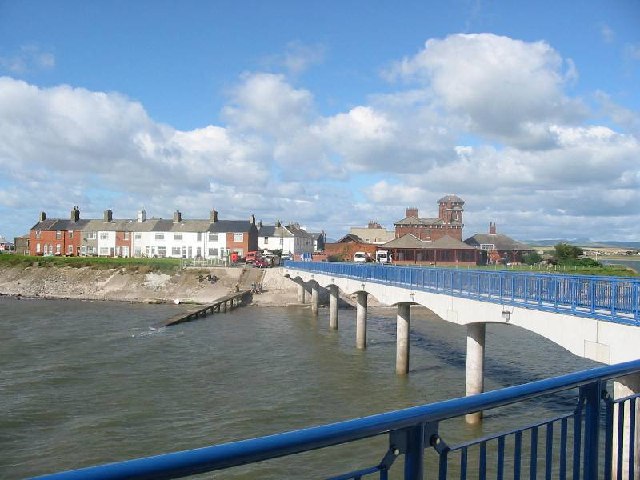
Roa Island
Roa Island lies just over half a mile (1 km) south of the village of Rampside at the southernmost point of the Furness Peninsula in Westmorland and Furness...

Piel railway station
Piel railway station was the terminus of the Furness Railway's Piel Branch in Barrow-in-Furness, England that operated between 1846 and 1936. Located on...
Nearby Amenities
Located within 500m of 54.06361,-3.1779004Have you been to North West Point?
Leave your review of North West Point below (or comments, questions and feedback).