Angerton Marsh

Coastal Marsh, Saltings in Cumberland Allerdale

England

Angerton Marsh

River Wampool
River Wampool Credit: Clive Nicholson

Angerton Marsh, located in Cumberland, is a coastal marsh and saltings area known for its unique ecosystem and breathtaking natural beauty. Spanning over a vast expanse, it is a significant site of ecological importance within the region.

The marsh is situated along the coastline, adjacent to the Irish Sea, and is characterized by its diverse range of habitats. It consists of a mixture of salt marshes, mudflats, and vegetated shingle, creating a haven for a wide array of plant and animal species.

The salt marshes, which are inundated by the tides, support a variety of halophytic plants such as sea lavender, saltmarsh grass, and sea aster. These plants have adapted to the high salinity levels and periodic flooding, creating a unique and visually striking landscape.

Angerton Marsh is also renowned for its rich avian population, attracting birdwatchers and nature enthusiasts from far and wide. The mudflats provide an abundant food source for many wading birds, including curlews, redshanks, and oystercatchers, which can be seen foraging in the exposed areas during low tide.

In addition to its ecological significance, Angerton Marsh offers a tranquil and picturesque setting for visitors. The vast expanse of open marshland, framed by the distant mountains and the sparkling sea, provides a sense of serenity and escape from the hustle and bustle of everyday life.

It is worth noting that Angerton Marsh is a protected area, managed by local conservation organizations, to preserve its unique habitat and ensure the continued survival of its diverse species. Visitors are encouraged to respect the fragile ecosystem and adhere to any rules or guidelines in place to maintain the marsh's natural integrity.

If you have any feedback on the listing, please let us know in the comments section below.

Angerton Marsh Images

Images are sourced within 2km of 54.904325/-3.213239 or Grid Reference NY2257. Thanks to Geograph Open Source API. All images are credited.

River Wampool
River Wampool
Whitrigg Bridge Across the River Wampool
Whitrigg Bridge
Across the River Wampool
Whitrigg Station House The station was on the direct railway route across the Solway on a viaduct. Some distance beyond the house are the masts for Anthorn Radio Transmitting Station.
Whitrigg Station House
The station was on the direct railway route across the Solway on a viaduct. Some distance beyond the house are the masts for Anthorn Radio Transmitting Station.
Direction Sign – Signpost at Whitrigg Located on the northwest side of the T junction at Whitrigg in Bowness parish. 3 arms and annulus finial. The destination covered by the blanking plate reads NO THROUGH ROAD which is shown on the reverse of the arm. In 1943 a Royal Naval Air Station was built between Anthorn and Cardurnock, cutting off the road. The airfield shut in 1958 and is now a radio transmission site and at some date the road was relaid around the perimeter of the airfield. See also <a title="https://www.geograph.org.uk/photo/5791161" href="https://www.geograph.org.uk/photo/5791161">Link</a> , <a title="https://www.geograph.org.uk/photo/2020379" href="https://www.geograph.org.uk/photo/2020379">Link</a> and <span class="nowrap"><a title="http://www.geog.port.ac.uk/webmap/thelakes/photos/byw68.jpg" rel="nofollow ugc noopener" href="http://www.geog.port.ac.uk/webmap/thelakes/photos/byw68.jpg">Link</a><img style="margin-left:2px;" alt="External link" title="External link - shift click to open in new window" src="https://s1.geograph.org.uk/img/external.png" width="10" height="10"/></span>.

Milestone Society National ID: CU_NY2257
Direction Sign – Signpost at Whitrigg
Located on the northwest side of the T junction at Whitrigg in Bowness parish. 3 arms and annulus finial. The destination covered by the blanking plate reads NO THROUGH ROAD which is shown on the reverse of the arm. In 1943 a Royal Naval Air Station was built between Anthorn and Cardurnock, cutting off the road. The airfield shut in 1958 and is now a radio transmission site and at some date the road was relaid around the perimeter of the airfield. See also Link , Link and LinkExternal link. Milestone Society National ID: CU_NY2257
Direction Sign – Signpost near Whitrigg House Located on the north side of the road junction southeast of Whitrigg House. Bowness parish. 3 arms and missing annulus finial.

Milestone Society National ID: CU_NY2358
Direction Sign – Signpost near Whitrigg House
Located on the north side of the road junction southeast of Whitrigg House. Bowness parish. 3 arms and missing annulus finial. Milestone Society National ID: CU_NY2358
Direction Sign – Signpost on the B5307 in Angerton Located in Angerton on the northwest side of the junction of the B5307 and a minor road to Whitrigg. Kirkbride parish. 4 arms and pawn finial. See also <span class="nowrap"><a title="http://www.geog.port.ac.uk/webmap/thelakes/photos/byw67.jpg" rel="nofollow ugc noopener" href="http://www.geog.port.ac.uk/webmap/thelakes/photos/byw67.jpg">Link</a><img style="margin-left:2px;" alt="External link" title="External link - shift click to open in new window" src="https://s1.geograph.org.uk/img/external.png" width="10" height="10"/></span>.

Milestone Society National ID: CU_NY2257A
Direction Sign – Signpost on the B5307 in Angerton
Located in Angerton on the northwest side of the junction of the B5307 and a minor road to Whitrigg. Kirkbride parish. 4 arms and pawn finial. See also LinkExternal link. Milestone Society National ID: CU_NY2257A
Direction Sign – Signpost at Whitrigglees in Aikton parish Located on the northeast side of the crossroads at Whitrigglees in Aikton parish. 4 arms and annulus finial. See also <a title="https://www.geograph.org.uk/photo/4976034" href="https://www.geograph.org.uk/photo/4976034">Link</a>.

Milestone Society National ID: CU_NY2457
Direction Sign – Signpost at Whitrigglees in Aikton parish
Located on the northeast side of the crossroads at Whitrigglees in Aikton parish. 4 arms and annulus finial. See also Link. Milestone Society National ID: CU_NY2457
Entering Longcroft
Entering Longcroft
A house in Longcroft
Swallows Return, Longcroft
A road leading to Rogersceugh
Beckbrow Cottage
Beckbrow Cottage
Houses near West Whitrigg Farm
The River Wampool from Whitrigg Bridge
The village of Angerton
The B5307 towards Newton Arlosh
Arlosh House Farm
Arlosh House Farm
The Entrance to Newton Holme Farm
Show me another place!

Angerton Marsh is located at Grid Ref: NY2257 (Lat: 54.904325, Lng: -3.213239)

Administrative County: Cumbria

District: Allerdale

Police Authority: Cumbria

What 3 Words

///according.tortoises.prevented. Near Eastriggs, Dumfries & Galloway

Related Wikis

Whitrigg railway station

Whitrigg was a railway station on the Bowness Moss which served Whitrigg, a hamlet in Cumbria on the English side of the Solway Firth. The station opened...

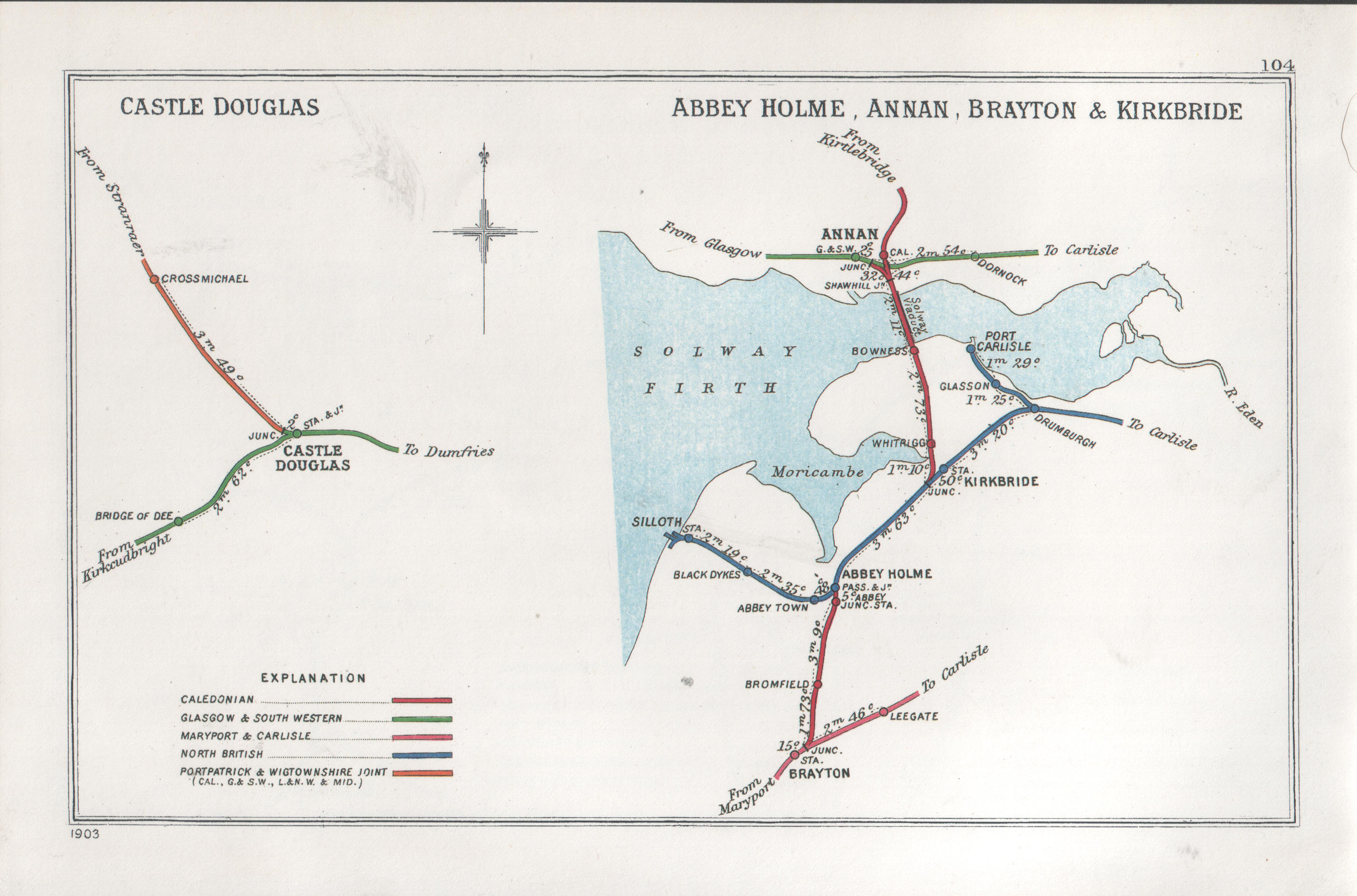
Kirkbride railway station

Kirkbride was a stone and brick built railway station with a single platform on the Carlisle and Silloth Bay Railway on the Solway Plain in Cumbria, England...

Angerton, Cumberland

Angerton is a village in the civil parish of Holme East Waver in Cumbria, United Kingdom. == See also == Listed buildings in Holme East Waver == References... ==

Kirkbride, Cumbria

Kirkbride is a village and civil parish in Cumbria, England. The civil parish population at the 2011 census was 489. == History == Significant ancient...
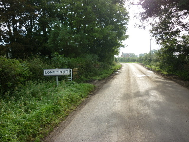
Longcroft, Cumbria

Longcroft is a small community in Cumbria, England, nestled in between Kirkbride and Anthorn. The village contains only five houses, one of which is Longcroft...

New Dykes Brow railway station

New Dykes Brow was an early, short lived railway station near Fingland, Cumbria on the Carlisle & Silloth Bay Railway & Dock Company's branch from Carlisle...

RAF Kirkbride

RAF Kirkbride, was a Second World War era airfield in the village of Kirkbride, Cumbria, England. Opened in June 1939, the base was intended to be an aircraft...

Newton Arlosh

Newton Arlosh is a village in the civil parish of Holme East Waver in Cumbria, United Kingdom. == Landmarks == St. John the Evangelist's Church is one...

Related Videos

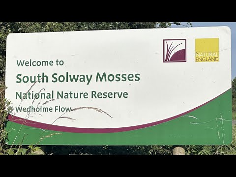
Nature Walks | Wedholme Flow | South Solway Mosses NNR

An early-autumn stroll round Wedholme Flow Nature Reserve. https://www.youtube.com/@TonysTrails?sub_confirmation=1 ...

Departing from Kirkbride Airfeild

Departing from East Kirkbride.

Chris Jones Gyroplane

Chris Jones Gyroplane when over the lake district for 1 hour dad really enjoyed himself The picture was taken by dad when flying ...

Nearby Amenities

Located within 500m of 54.904325,-3.213239
Source: PGS
Lat/Long: 54.9025217/-3.2197605
Source: PGS
Lat/Long: 54.9026649/-3.2194241
Source: PGS
Lat/Long: 54.9028071/-3.2190294
Source: PGS
Lat/Long: 54.9030286/-3.2183715
Source: PGS
Lat/Long: 54.9032002/-3.2179327
Source: PGS
Lat/Long: 54.9033423/-3.2174393
Source: PGS
Lat/Long: 54.9035294/-3.21665
Source: PGS
Lat/Long: 54.9035946/-3.2162326
Source: PGS
Lat/Long: 54.9037226/-3.2158739
Source: PGS
Lat/Long: 54.9038232/-3.2156416
Source: PGS
Lat/Long: 54.9047079/-3.2150853
Source: PGS
Lat/Long: 54.9049661/-3.2147842
Source: PGS
Lat/Long: 54.9052448/-3.214053
Source: PGS
Lat/Long: 54.9051827/-3.2127807
Source: PGS
Lat/Long: 54.9049793/-3.2120013
Source: PGS
Lat/Long: 54.9041454/-3.211901
Source: PGS
Lat/Long: 54.9040654/-3.2120768
Whitrigg
Abandoned Railway: station
Railway: site
Lat/Long: 54.9081572/-3.2123356
The data included in this document is from www.openstreetmap.org. The data is made available under ODbL.

Have you been to Angerton Marsh?

Leave your review of Angerton Marsh below (or comments, questions and feedback).