Meeting Scar

Coastal Marsh, Saltings in Lancashire Barrow-in-Furness

England

Meeting Scar

Entrance to the car park off Mawflat Lane
Entrance to the car park off Mawflat Lane Credit: Jonathan Thacker

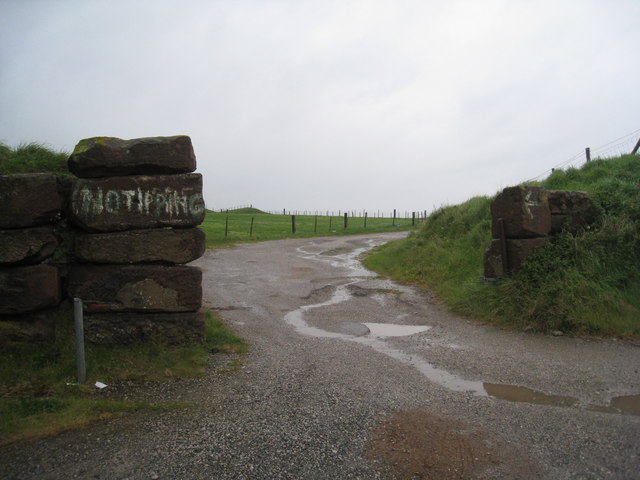
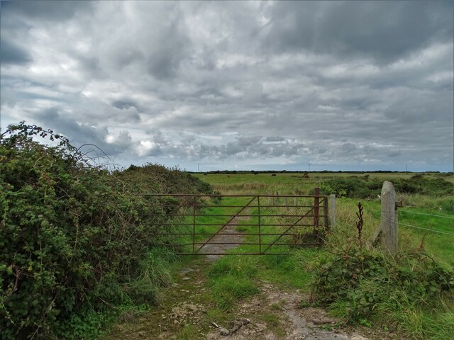
Meeting Scar is a coastal marsh located in Lancashire, England. Situated near the village of Bolton-le-Sands, this area is known for its stunning natural beauty and unique ecological features.

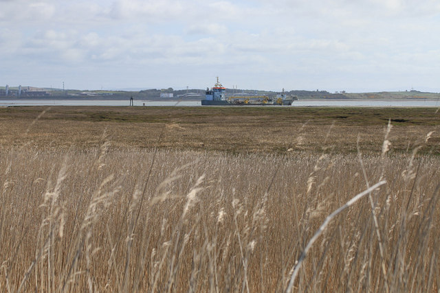
The marsh is characterized by its expansive salt marshes and saltings, which are formed by the accumulation of sediment and salt-tolerant plants. These marshes are an important habitat for various species of birds, including waders, ducks, and geese, making it a popular spot for birdwatchers and nature enthusiasts.

The landscape of Meeting Scar features vast open spaces, dotted with channels and pools of water. The salt marsh vegetation adds to the charm of the area, with plants such as sea lavender, saltmarsh grass, and samphire thriving in the saline conditions.

The marsh is also home to a diverse range of wildlife, including insects, reptiles, and small mammals. Visitors may come across species such as the common lizard, water voles, and various butterfly species.

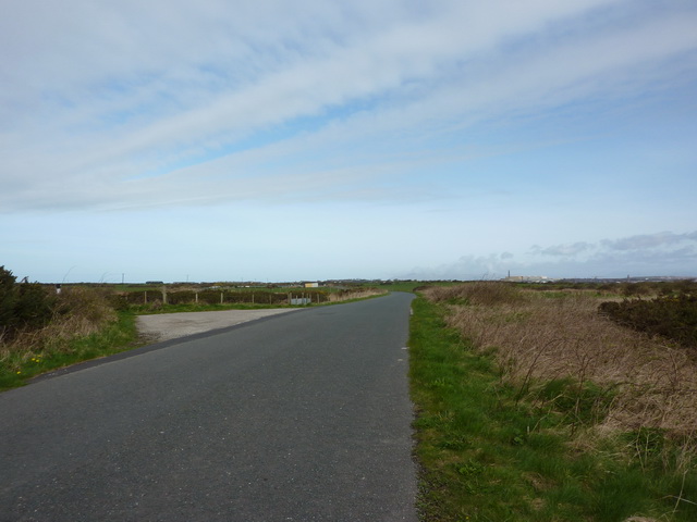
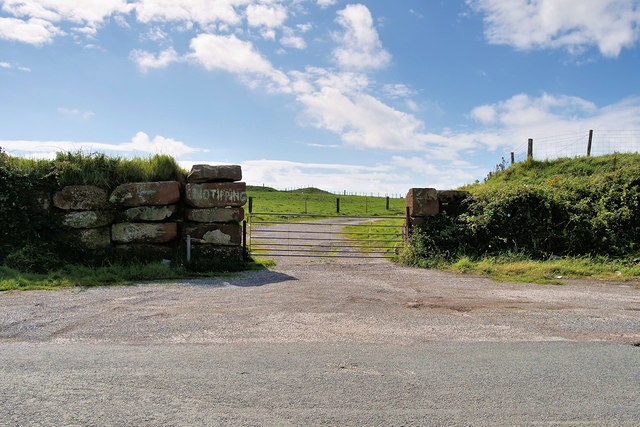
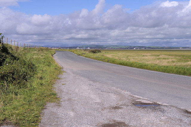
Apart from its ecological significance, Meeting Scar offers breathtaking views of Morecambe Bay and the surrounding coastline. The interplay of tides, changing weather conditions, and the unique flora and fauna create a dynamic and ever-changing landscape.

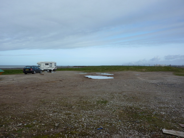
Visitors to Meeting Scar can enjoy leisurely walks, birdwatching, and photography, as well as taking in the peaceful atmosphere and scenic beauty of the area. The marsh is easily accessible and provides a serene escape from the hustle and bustle of everyday life.

If you have any feedback on the listing, please let us know in the comments section below.

Meeting Scar Images

Images are sourced within 2km of 54.076773/-3.2028657 or Grid Reference SD2165. Thanks to Geograph Open Source API. All images are credited.

Entrance to the car park off Mawflat Lane
Old access road to sea DEEP puddles
Old access road to sea
DEEP puddles
Car park near Cross Dike Scar
Mawflat Lane, Walney Island
Creepshaw Marsh, Walney Island
Mawflat Lane, Walney Island
View across Walney Channel From Mawflat Lane.
View across Walney Channel
From Mawflat Lane.
Ordnance Survey Cut Mark This OS cut mark can be found on the 'pill box' type structure west side of the road. It marks a point 7.498m above mean sea level.
Ordnance Survey Cut Mark
This OS cut mark can be found on the 'pill box' type structure west side of the road. It marks a point 7.498m above mean sea level.
Gateway on Walney Island Near Creephaw Marsh
Gateway on Walney Island
Near Creephaw Marsh
Creephaw Marsh, Walney Island
Creepshaw Marsh, Walney Island
Track to Car Park
Track to Car Park
Gate and Track off Mawflat Lane Walney Island is a long, comparatively narrow island across a narrow channel (The Walney Channel) from the southwestern end of the Furness Peninsula. It acts as a huge natural breakwater for that peninsula and for the town of Barrow in Furness in particular. It is attached to Barrow and the mainland by a swing bridge from Vickerstown, effectively a suburb of Barrow, which straddles the central section of the island.
Walney is about 11 miles (18km) long curling eastwards at its southern end; it is however only about a mile wide at its widest point, and for much of its length far narrower than this. It has an area of roughly 5 sq.miles (13 km²) making it the eighth largest offshore island of England; its population of 10,651 (2011 Census) makes it the sixth most populous however.
The central chunk of the island is built up with the estates of Vickerstown, but most of the rest of the island especially to the south is rural, unspoilt salt flats with an insteresting and convoluted coast. There is an airfield at the north of the island near the settlement of North Scales. The only other village on the island is Biggar, on the road southwards, which has a fine public house, The Queen's Arms.
Gate and Track off Mawflat Lane
Walney Island is a long, comparatively narrow island across a narrow channel (The Walney Channel) from the southwestern end of the Furness Peninsula. It acts as a huge natural breakwater for that peninsula and for the town of Barrow in Furness in particular. It is attached to Barrow and the mainland by a swing bridge from Vickerstown, effectively a suburb of Barrow, which straddles the central section of the island. Walney is about 11 miles (18km) long curling eastwards at its southern end; it is however only about a mile wide at its widest point, and for much of its length far narrower than this. It has an area of roughly 5 sq.miles (13 km²) making it the eighth largest offshore island of England; its population of 10,651 (2011 Census) makes it the sixth most populous however. The central chunk of the island is built up with the estates of Vickerstown, but most of the rest of the island especially to the south is rural, unspoilt salt flats with an insteresting and convoluted coast. There is an airfield at the north of the island near the settlement of North Scales. The only other village on the island is Biggar, on the road southwards, which has a fine public house, The Queen's Arms.
Walney Island, Mawflat Lane Walney Island is a long, comparatively narrow island across a narrow channel (The Walney Channel) from the southwestern end of the Furness Peninsula. It acts as a huge natural breakwater for that peninsula and for the town of Barrow in Furness in particular. It is attached to Barrow and the mainland by a swing bridge from Vickerstown, effectively a suburb of Barrow, which straddles the central section of the island.
Walney is about 11 miles (18km) long curling eastwards at its southern end; it is however only about a mile wide at its widest point, and for much of its length far narrower than this. It has an area of roughly 5 sq.miles (13 km²) making it the eighth largest offshore island of England; its population of 10,651 (2011 Census) makes it the sixth most populous however.
The central chunk of the island is built up with the estates of Vickerstown, but most of the rest of the island especially to the south is rural, unspoilt salt flats with an insteresting and convoluted coast. There is an airfield at the north of the island near the settlement of North Scales. The only other village on the island is Biggar, on the road southwards, which has a fine public house, The Queen's Arms.
Walney Island, Mawflat Lane
Walney Island is a long, comparatively narrow island across a narrow channel (The Walney Channel) from the southwestern end of the Furness Peninsula. It acts as a huge natural breakwater for that peninsula and for the town of Barrow in Furness in particular. It is attached to Barrow and the mainland by a swing bridge from Vickerstown, effectively a suburb of Barrow, which straddles the central section of the island. Walney is about 11 miles (18km) long curling eastwards at its southern end; it is however only about a mile wide at its widest point, and for much of its length far narrower than this. It has an area of roughly 5 sq.miles (13 km²) making it the eighth largest offshore island of England; its population of 10,651 (2011 Census) makes it the sixth most populous however. The central chunk of the island is built up with the estates of Vickerstown, but most of the rest of the island especially to the south is rural, unspoilt salt flats with an insteresting and convoluted coast. There is an airfield at the north of the island near the settlement of North Scales. The only other village on the island is Biggar, on the road southwards, which has a fine public house, The Queen's Arms.
Track/Path to West Shore I had hoped to reach the shore but the extent and depth of the flooding meant that this was as far as I could get on foot.
Track/Path to West Shore
I had hoped to reach the shore but the extent and depth of the flooding meant that this was as far as I could get on foot.
Wartime defences beside Mawflat Lane
Hillside grazing, Walney Island Off Mawflat Lane.
Hillside grazing, Walney Island
Off Mawflat Lane.
Show me another place!

Meeting Scar is located at Grid Ref: SD2165 (Lat: 54.076773, Lng: -3.2028657)

Administrative County: Cumbria

District: Barrow-in-Furness

Police Authority: Cumbria

What 3 Words

///breaches.guides.thatched. Near Barrow in Furness, Cumbria

Nearby Locations

Meeting Scar

Related Wikis

Sheep Island (England)

Sheep Island is an uninhabited grassy island of around 15 acres (6 ha), located just over 1⁄4 mile (400 m) from the shore of Walney Island, opposite Snab...

Piel railway station

Piel railway station was the terminus of the Furness Railway's Piel Branch in Barrow-in-Furness, England that operated between 1846 and 1936. Located on...

Roa Island

Roa Island lies just over half a mile (1 km) south of the village of Rampside at the southernmost point of the Furness Peninsula in Westmorland and Furness...

Walney South

Walney South is one of two wards on Walney Island in the Borough of Barrow-in-Furness, North West England. The 2001 UK census showed 5,784 people were...

Rampside railway station

Rampside railway station was located on the Piel Branch of the Furness Railway in the Rampside area of Barrow-in-Furness, England. The single platform...

Headin Haw

Headin Haw, also spelled Headen Haw, is part of the Islands of Furness. It is a small tidal island approximately 200 metres (220 yards) off the coast of...

Piel Island

Piel Island lies in Morecambe Bay , around 1⁄2 mile (800 metres) off the southern tip of the Furness peninsula in the administrative county of Cumbria...

Piel Castle

Piel Castle, also known as Fouldry Castle or the Pile of Fouldray, is a castle situated on the south-eastern point of Piel Island, off the coast of the...

Related Videos

Roa Island: Where History Meets Natural Splendour - Barrow in Furness, Cumbria

Roa Island is a small island in the Furness Estuary in Cumbria, England. The island is home to a number of interesting landscape ...

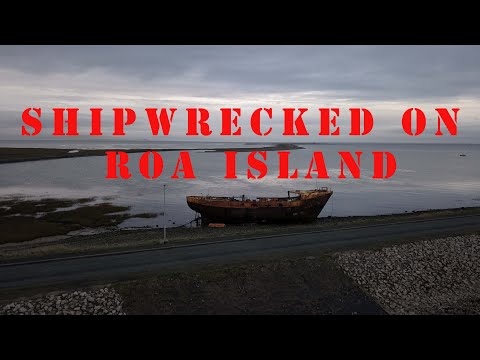
Roa Island | Piel Castle | DRONE flight | CUMBRIA

RoaIsland #VanLifeuk #Cumbria Roa Island lies just over half a mile south of the village of Rampside at the southernmost point of ...

Roa island - me Fergus and our Motorhome, just a quick leg stretch .

Just a quick leg stretch and day out for me Fergus and our Motorhome only just getting used to capturing things on YouTube so ...

Nearby Amenities

Located within 500m of 54.076773,-3.2028657
Meeting Scar
Place: locality
Source: OS7
Lat/Long: 54.0760425/-3.2047008
The data included in this document is from www.openstreetmap.org. The data is made available under ODbL.

Have you been to Meeting Scar?

Leave your review of Meeting Scar below (or comments, questions and feedback).