Marsh Grange Marsh

Coastal Marsh, Saltings in Lancashire Barrow-in-Furness

England

Marsh Grange Marsh

Askam in Furness Railway Station Askam in Furness Railway Station viewed from the level crossing
Askam in Furness Railway Station Credit: Mr S Mudgey

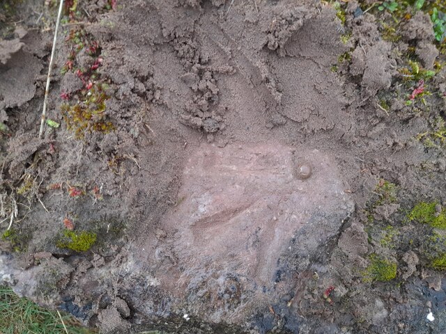
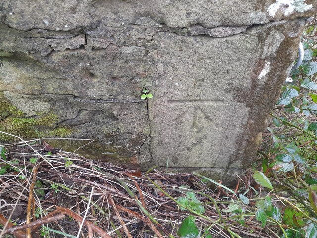
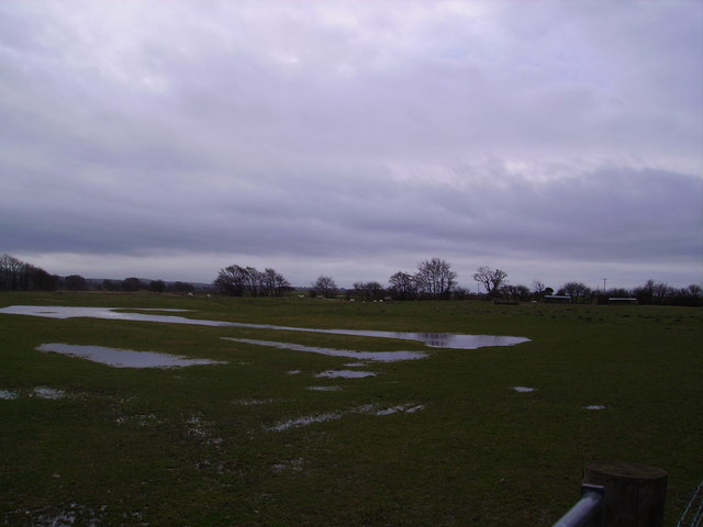
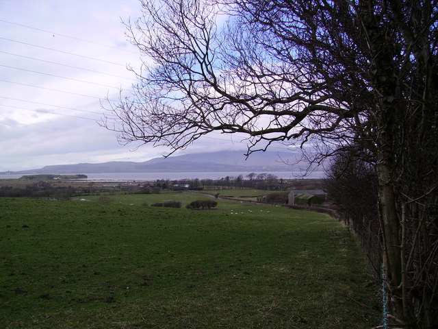
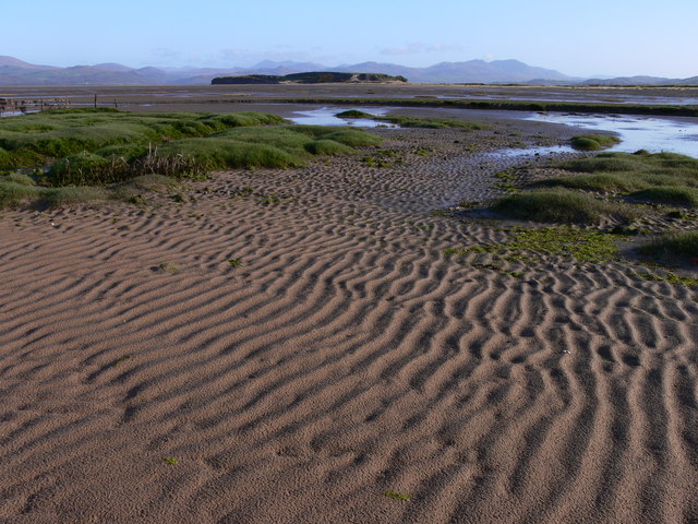
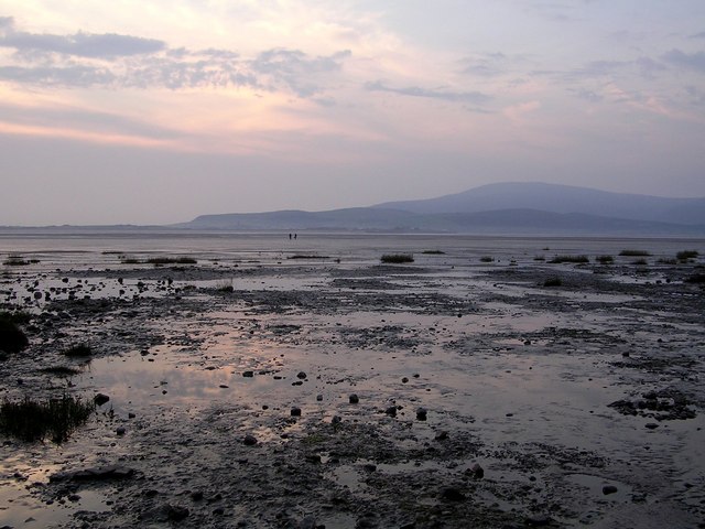
Marsh Grange Marsh is a coastal marshland located in Lancashire, England. It is situated along the coastline and is characterized by its unique and diverse ecosystem. The marsh is primarily composed of salt marshes, which are a type of coastal wetland that are regularly flooded by saltwater.

The marshland is an important habitat for a wide range of plant and animal species. The salt marshes are home to various types of grasses and reeds, which are well adapted to the high salt content of the soil. These plants provide food and shelter for numerous bird species, including waders such as redshanks, dunlins, and curlews.

In addition to its ecological importance, Marsh Grange Marsh also plays a vital role in coastal protection. The marsh acts as a natural buffer, absorbing the force of waves and reducing the risk of coastal erosion. It also helps to filter and purify water, improving the overall water quality in the area.

The marshland is accessible to the public and offers opportunities for recreational activities such as birdwatching and nature walks. There are several designated paths and trails that allow visitors to explore and appreciate the natural beauty of the marsh. However, it is important to note that the delicate ecosystem should be treated with respect and care to ensure its preservation.

Overall, Marsh Grange Marsh is a significant coastal marshland in Lancashire, providing a valuable habitat for wildlife and contributing to the overall health and stability of the coastal environment.

If you have any feedback on the listing, please let us know in the comments section below.

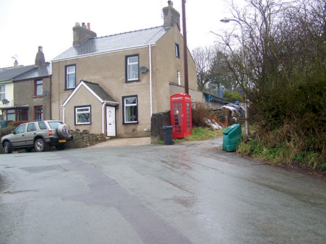
Marsh Grange Marsh Images

Images are sourced within 2km of 54.203835/-3.2075818 or Grid Reference SD2179. Thanks to Geograph Open Source API. All images are credited.

Askam in Furness Railway Station Askam in Furness Railway Station viewed from the level crossing
Askam in Furness Railway Station
Askam in Furness Railway Station viewed from the level crossing
Ordnance Survey Rivet This OS rivet can be found at the quarry on Dunnerholme. It marks a point 7.065m above mean sea level.
Ordnance Survey Rivet
This OS rivet can be found at the quarry on Dunnerholme. It marks a point 7.065m above mean sea level.
Ordnance Survey Cut Mark This OS cut mark can be found on the outbuilding of the house at Dunnerholme Crossing. It marks a point 5.627m above mean sea level.
Ordnance Survey Cut Mark
This OS cut mark can be found on the outbuilding of the house at Dunnerholme Crossing. It marks a point 5.627m above mean sea level.
Ordnance Survey Cut Mark This OS cut mark can be found on the south angle of the school. It marks a point 58.526m above mean sea level.
Ordnance Survey Cut Mark
This OS cut mark can be found on the south angle of the school. It marks a point 58.526m above mean sea level.
Fountain at Askam in Furness Celebrating Queen Victoria's Diamond Jubilee 1897. Has the cryptic inscription 'Keep the pavement dry' on it.
Fountain at Askam in Furness
Celebrating Queen Victoria's Diamond Jubilee 1897. Has the cryptic inscription 'Keep the pavement dry' on it.
Farmland Marsh Grange From the track between Marsh Grange and Dunnerholme near Askham
Farmland Marsh Grange
From the track between Marsh Grange and Dunnerholme near Askham
Looking Across the Duddon From the main road at High Mere beck. Black Combe topped by cloud
Looking Across the Duddon
From the main road at High Mere beck. Black Combe topped by cloud
Dunnerholme The Lake District mountains spread out on the horizon as a backdrop to Dunnerholme on the Duddon Estuary
Dunnerholme
The Lake District mountains spread out on the horizon as a backdrop to Dunnerholme on the Duddon Estuary
Mudflats near Askam in Furness Looking towards Black Combe.
Mudflats near Askam in Furness
Looking towards Black Combe.
Tidal Marsh near Dunnerholme Looking north to the Coniston hills
Tidal Marsh near Dunnerholme
Looking north to the Coniston hills
Duddon Sands near Dunnerholme Looking north towards the Coniston hills
Duddon Sands near Dunnerholme
Looking north towards the Coniston hills
Duddon Sands near Dunnerholme Looking west towards Black Combe
Duddon Sands near Dunnerholme
Looking west towards Black Combe
Askam in Furness Station
St. Anthony's RC Church, Askam in Furness, Cumbria
Village Shops, Askam in Furness, Cumbria
London House The London House tavern in Askam in Furness.
London House
The London House tavern in Askam in Furness.
Public House Sign The public house sign outside The London Tavern, Askam in Furness.
Public House Sign
The public house sign outside The London Tavern, Askam in Furness.
Heed the warning The map states "WARNING" Public Rights of Way across Duddon Sands can be dangerous. Seek local guidance." You can easily become cut off by incoming tides  sweeping  down the channels or even caught in quicksand.
Heed the warning
The map states "WARNING" Public Rights of Way across Duddon Sands can be dangerous. Seek local guidance." You can easily become cut off by incoming tides sweeping down the channels or even caught in quicksand.
Show me another place!

Marsh Grange Marsh is located at Grid Ref: SD2179 (Lat: 54.203835, Lng: -3.2075818)

Administrative County: Cumbria

District: Barrow-in-Furness

Police Authority: Cumbria

What 3 Words

///sugar.viewer.beans. Near Askam in Furness, Cumbria

Related Wikis

Askam railway station

Askam is a railway station on the Cumbrian Coast Line, which runs between Carlisle and Barrow-in-Furness. The station, situated 6 miles (10 km) north of...

Askam and Ireleth

Askam and Ireleth is a civil parish close to Barrow-in-Furness in Westmorland and Furness, Cumbria, England. Historically part of Lancashire, it originally...

Dalton North

Dalton North is a ward of the British town Dalton-in-Furness, within the Borough of Barrow-in-Furness. With 6,599 people residing in Dalton North in 2001...

Askam and Ireleth Wind Farm

Askam and Ireleth Wind Farm is a group of 7 turbines located two kilometers east of the village Askam and Ireleth, on the southern slopes of Hare Slack...

Kirkby-in-Furness

Kirkby-in-Furness, generally referred to simply as Kirkby locally, is a village that is the major part of the parish of Kirkby Ireleth in the Furness district...

Kirkby Ireleth

Kirkby Ireleth is a civil parish in the South Lakeland district of the English county of Cumbria. It includes the villages of Grizebeck and Kirkby-in...

Kirkby-in-Furness railway station

Kirkby-in-Furness is a railway station on the Cumbrian Coast Line, which runs between Carlisle and Barrow-in-Furness. The station, situated 9+1⁄4 miles...

Marton, Cumbria

Marton is a village on the Furness peninsula in the county of Cumbria, England. It shares a church, a parish council and primary school with the nearby...

Related Videos

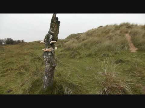
Days of summer past #amazingdayZ

Trip to see family in Cumbria. Royalty free music Ximertracks Beneath the Water ...

parish of dalton ireleth and Askam church in ireleth in Askam Cumbria

Join this channel to get access to Amazing perks Emogis Badges Videos and more: ...

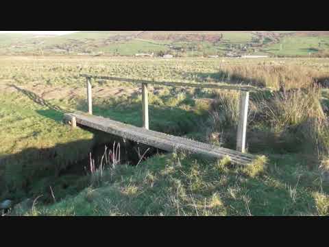
Furness Coast West 2021 Part 2

Furness Coast (Cumbria Coast way) From Greenodd to Duddon Bridge . just photo sideshow .

Furness Coast West 2021 Part 3

Walk round the Coast of Furness from Greenodd to Duddon Bridge , year that I broke my Leg so only got to finish it at the end of ...

Nearby Amenities

Located within 500m of 54.203835,-3.2075818
Source: PGS
Lat/Long: 54.208164/-3.2074606
Source: PGS
Lat/Long: 54.2080662/-3.2096667
Source: PGS
Lat/Long: 54.207604/-3.2114445
Source: PGS
Lat/Long: 54.2073415/-3.2110159
Source: PGS
Lat/Long: 54.2026987/-3.2068938
Source: PGS
Lat/Long: 54.2019605/-3.2067465
Source: PGS
Lat/Long: 54.2012486/-3.206621
Source: PGS
Lat/Long: 54.2016692/-3.210336
Source: PGS
Lat/Long: 54.2001719/-3.2064622
Dunnerholme Crossing
Crossing Barrier: no
Level Crossing: manual
Note: Telephone signalman before crossing with vehicles or farm animals
Railway: level_crossing
Website: http://www.networkrail.co.uk/Transparency/LevelCrossingItemDetail.aspx?lcid=886
Lat/Long: 54.2063742/-3.2023552
Crossing Barrier: no
Level Crossing: manual
Note: Telephone signalman before crossing with vehicles or farm animals
Railway: level_crossing
Supervised: no
Website: http://www.networkrail.co.uk/Transparency/LevelCrossingItemDetail.aspx?lcid=886
Lat/Long: 54.2063672/-3.2022988
Power: pole
Lat/Long: 54.2053156/-3.2008401
Power: pole
Lat/Long: 54.2056701/-3.2022455
Power: pole
Lat/Long: 54.2062505/-3.2044503
Power: pole
Lat/Long: 54.2065047/-3.2055393
Power: pole
Lat/Long: 54.2068112/-3.20668
Power: pole
Lat/Long: 54.2070814/-3.207723
Dunnerholme
Place: locality
Lat/Long: 54.2070996/-3.2089824
Crossing Barrier: no
Railway: crossing
Lat/Long: 54.2063904/-3.2022945
Crossing Barrier: no
Railway: crossing
Lat/Long: 54.2063971/-3.2023496
Phone
Emergency: phone
Note: Telephone signalman before crossing with vehicles or farm animals
Operator: Network Rail
Lat/Long: 54.2064017/-3.2024119
Phone
Emergency: phone
Note: Telephone signalman before crossing with vehicles or farm animals
Operator: Network Rail
Lat/Long: 54.2063287/-3.2022757
Source: PGS
Lat/Long: 54.2006643/-3.2065514
Ford: yes
Lat/Long: 54.2081608/-3.208118
Railway: crossing
Lat/Long: 54.1999892/-3.2043743
Railway: crossing
Lat/Long: 54.1999943/-3.2044237
Barrier: stile
Lat/Long: 54.199997/-3.204451
Barrier: stile
Lat/Long: 54.199985/-3.2043333
Golf: pin
Lat/Long: 54.2075858/-3.2052207
Golf: pin
Lat/Long: 54.2036648/-3.2054759
Golf: pin
Lat/Long: 54.2069434/-3.2062245
Golf: pin
Lat/Long: 54.2067962/-3.2086553
Golf: pin
Lat/Long: 54.2028538/-3.2042747
Golf: pin
Lat/Long: 54.1998112/-3.2056455
Golf: pin
Lat/Long: 54.2029316/-3.2057663
Golf: pin
Lat/Long: 54.2030404/-3.2058839
Golf: pin
Lat/Long: 54.2036947/-3.2054146
Golf: pin
Lat/Long: 54.2029154/-3.2041693
Golf: pin
Lat/Long: 54.1997162/-3.2056009
Golf: pin
Lat/Long: 54.207005/-3.2060533
The data included in this document is from www.openstreetmap.org. The data is made available under ODbL.

Have you been to Marsh Grange Marsh?

Leave your review of Marsh Grange Marsh below (or comments, questions and feedback).