Arnaby Marsh
Coastal Marsh, Saltings in Cumberland Copeland
England
Arnaby Marsh
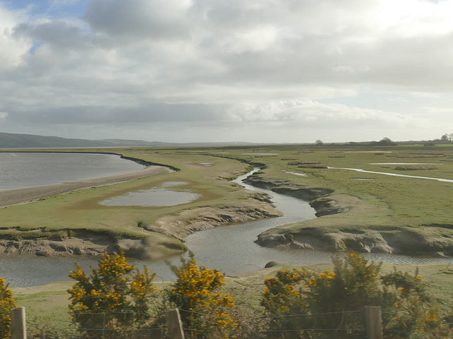
Arnaby Marsh, located in Cumberland, is a coastal marshland renowned for its stunning beauty and ecological significance. Spanning an area of approximately 500 acres, it forms part of the larger Arnaby Marsh Nature Reserve, a protected area designated for conservation.
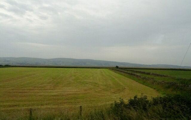
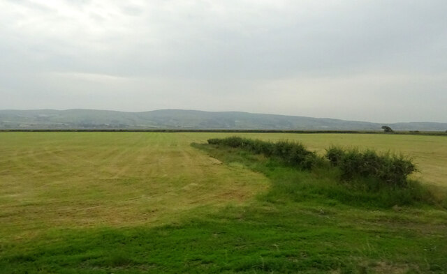
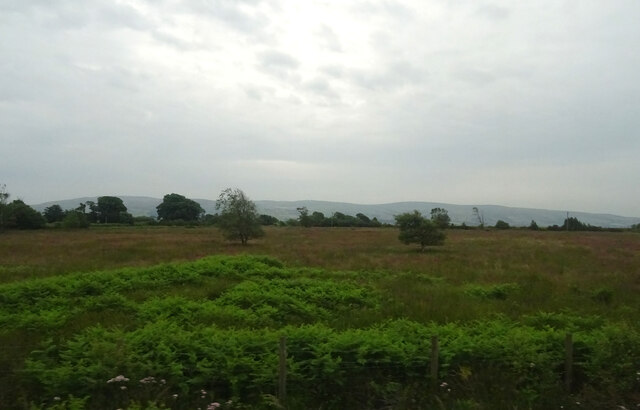
The marsh is characterized by its vast expanse of saltmarshes and saltings, which are flooded by tidal waters from the nearby sea. These saltmarshes are composed of low-lying grasses, sedges, and other salt-tolerant plants, creating a unique habitat for a variety of wildlife species.
The area is a vital stopover for migratory birds, attracting numerous species during their annual journeys. Visitors may observe flocks of wading birds such as curlews, redshanks, and oystercatchers, feeding on the rich mudflats and foraging for small invertebrates. The marsh also supports a diverse range of plant life, including sea lavender and thrift, which add vibrant pops of color to the landscape.
The marsh is intersected by a network of channels and creeks, which provide an ideal habitat for fish and other aquatic species. It is not uncommon to spot seals basking on the sandbanks during low tide, while otters may be seen hunting for fish in the shallows.
Arnaby Marsh offers a tranquil and picturesque setting for nature enthusiasts and photographers alike. It provides an invaluable ecosystem that supports a wide array of plant and animal life, making it an important area for conservation efforts and scientific research.
If you have any feedback on the listing, please let us know in the comments section below.
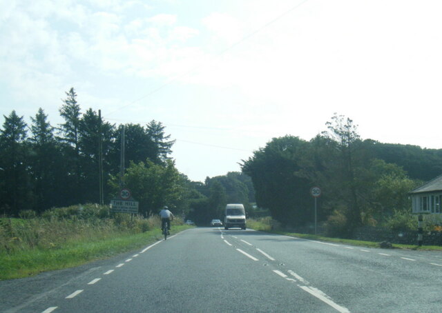
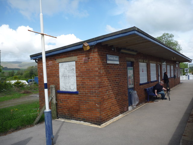
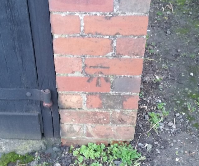
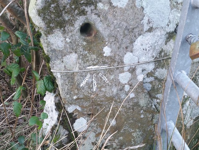
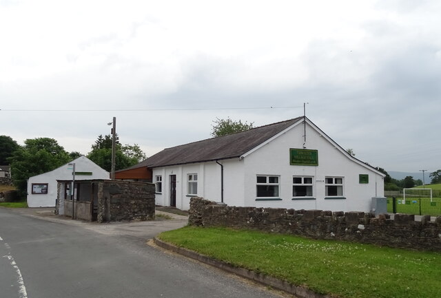
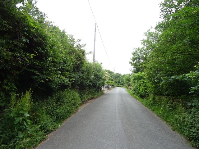
Arnaby Marsh Images
Images are sourced within 2km of 54.245203/-3.2327768 or Grid Reference SD1983. Thanks to Geograph Open Source API. All images are credited.


Arnaby Marsh is located at Grid Ref: SD1983 (Lat: 54.245203, Lng: -3.2327768)
Administrative County: Cumbria
District: Copeland
Police Authority: Cumbria
What 3 Words
///eclipses.nametag.local. Near Millom, Cumbria
Nearby Locations
Related Wikis

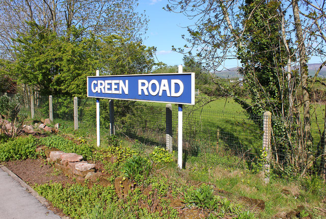
Green Road railway station
Green Road is a railway station on the Cumbrian Coast Line, which runs between Carlisle and Barrow-in-Furness. The station, situated 13+1⁄2 miles (22 km...

Millom Without
Millom Without is a civil parish in the county of Cumbria, England. It had a population of 1,638 in 2001, decreasing to 859 at the 2011 Census. Millom...

Foxfield, Cumbria
Foxfield is a village on the west coast of Cumbria, England, in the Furness district that was part of Lancashire from 1182 to 1974. It lies on the Duddon...

Foxfield railway station
Foxfield is a railway station on the Cumbrian Coast Line, which runs between Carlisle and Barrow-in-Furness. The station, situated 11+1⁄2 miles (19 km...

Arnaby
Arnaby is a village in Cumbria, England.

Thwaites, Cumbria
Thwaites is a small village near Duddon Valley and on the edge of the Duddon Estuary in the Lake District National Park in the Borough of Copeland, Cumbria...
St Anne's Church, Thwaites
St Anne's Church is in the village of Thwaites, Cumbria, England. It is an active Anglican parish church in the deanery of Millom, the archdeaconry of...

St Peter, Drigg
St Peter, Drigg is in Drigg, Cumbria, England. It is an active Anglican parish church in the deanery of Calder, and the diocese of Carlisle. Its benefice...
Nearby Amenities
Located within 500m of 54.245203,-3.2327768Have you been to Arnaby Marsh?
Leave your review of Arnaby Marsh below (or comments, questions and feedback).