Chapel Bed
Coastal Marsh, Saltings in Lancashire Barrow-in-Furness
England
Chapel Bed
Chapel Bed is a unique and picturesque coastal marsh located in Lancashire, England. Situated along the stunning coastline, this area is known for its fascinating landscape and abundant natural beauty. The marsh is specifically referred to as the Chapel Bed due to its proximity to the historic St. Anne's-on-the-Sea Chapel.
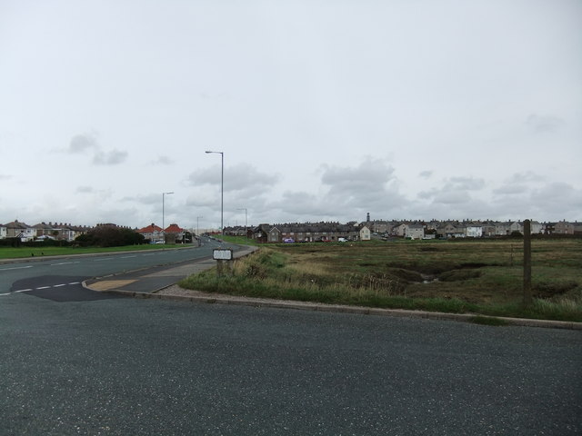
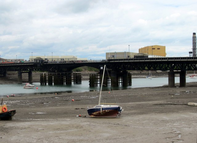
This coastal marsh is characterized by its vast expanse of saltmarshes and saltings, which are rich in biodiversity and home to a variety of plant and animal species. The marshland is often submerged during high tide, creating a dynamic ecosystem that is influenced by the ebb and flow of the sea. The intertidal zone supports a diverse range of plants such as sea lavender, sea purslane, and samphire.
The Chapel Bed is renowned for its birdlife, attracting numerous species throughout the year. It serves as an important breeding ground and feeding area for various wading birds, including avocets, redshanks, and curlews. During migration periods, the marsh becomes a temporary home for flocks of geese and other waterfowl.
Visitors to Chapel Bed can enjoy a tranquil and serene environment, ideal for birdwatching and nature exploration. The area is often frequented by wildlife enthusiasts, photographers, and nature lovers who appreciate the unique and fragile ecosystem. The marshland is accessible via footpaths and observation points, allowing visitors to observe the diverse array of flora and fauna while respecting the delicate balance of the environment.
Chapel Bed in Lancashire is a captivating coastal marsh that showcases the beauty and importance of saltmarsh habitats. Its rich biodiversity and stunning vistas make it a must-visit destination for those seeking an immersive and educational experience in nature.
If you have any feedback on the listing, please let us know in the comments section below.
Chapel Bed Images
Images are sourced within 2km of 54.106496/-3.2445187 or Grid Reference SD1868. Thanks to Geograph Open Source API. All images are credited.


Chapel Bed is located at Grid Ref: SD1868 (Lat: 54.106496, Lng: -3.2445187)
Administrative County: Cumbria
District: Barrow-in-Furness
Police Authority: Cumbria
What 3 Words
///pads.cloud.aspect. Near Barrow in Furness, Cumbria
Nearby Locations
Related Wikis
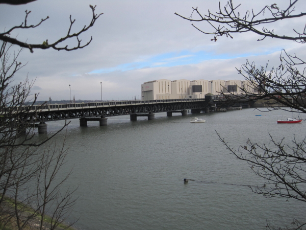
Walney Bridge
Walney Bridge, officially Jubilee Bridge, is a bascule bridge in Barrow-in-Furness, Cumbria, England. Completed in 1908, it spans Walney Channel, linking...

St Mary the Virgin's Church, Walney
St Mary the Virgin's Church is located on the Promenade, Walney Island, Barrow-in-Furness. Cumbria, England. It is an active Anglican parish church in...

Islands of Furness
The Islands of Furness are situated to the south-west and east of the Furness Peninsula. Within England, they are the third biggest collection of islands...

Walney Channel
The Walney Channel separates Walney Island from the British mainland. The northern portion of the channel opens into the Duddon Estuary and is both narrower...
Walney Island
Walney Island, also known as the Isle of Walney, is an island off the west coast of England, at the western end of Morecambe Bay in the Irish Sea. Within...

Devonshire Dock Hall
Devonshire Dock Hall (often abbreviated to DDH) is a large indoor shipbuilding and assembly complex that forms part of the BAE Systems shipyard in the...

BAE Systems Submarines
BAE Systems Submarines, is a wholly owned subsidiary of BAE Systems, based in Barrow-in-Furness, Cumbria, England, and is responsible for the development...

Dock Museum
The Dock Museum is situated in Barrow-in-Furness, Cumbria, England. Most of its exhibits concern the history of the town, focusing on the shipbuilding...
Nearby Amenities
Located within 500m of 54.106496,-3.2445187Have you been to Chapel Bed?
Leave your review of Chapel Bed below (or comments, questions and feedback).